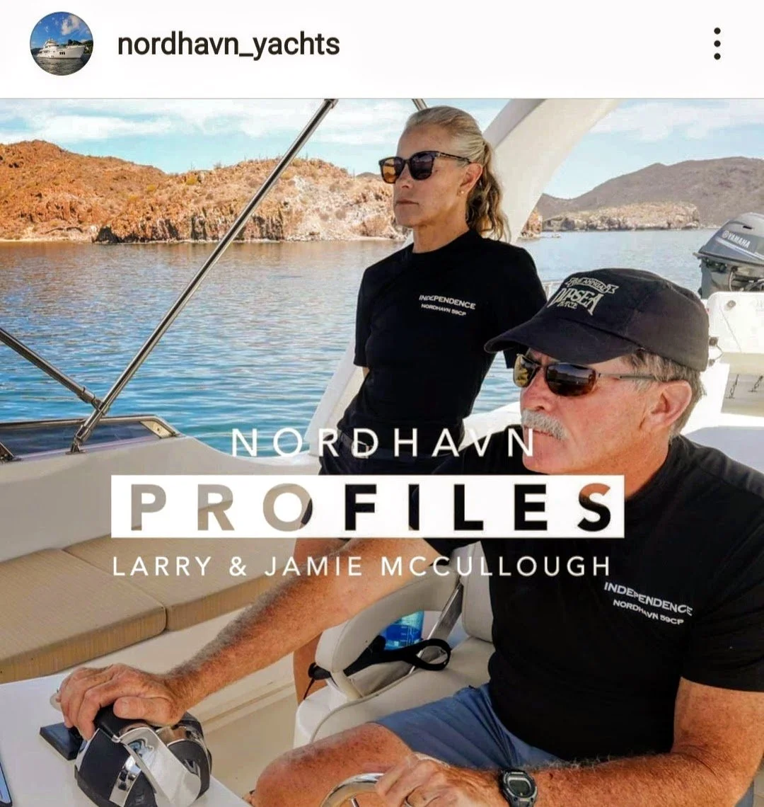
Two Harbors, Santa Catalina Island

Only 11NM north of Avalon Harbor but a world apart. Two Harbors is situated on an isthmus between the aptly named Isthmus Cove and Catalina Harbor. This location is less about restaurants, bars and historical Catalina and more about camping, hiking, biking, scuba and other water sports. Larry is grinding up the trails with his mountain bike while I explore them at a slow jog. It truly is a gorgeous spot with so much to offer the outdoor enthusiast. I will supply a word to the wise; if you wish to visit Isthmus Cove, be sure to bring a boat that is smaller than 59 feet. That way you can get a mooring ball near the wall (or cliff face) and try to hide from the constant wakes that the harbors’ own patrol, ferries and lifeguard boats (not too mention the rude boaters) constantly generate within the confines of the harbor. If I ever come back to this area I will be sure to avoid Isthmus Cove and head for the shelter of Cherry Cove Harbor instead.

Isthmus Cove mooring field at Two Harbors

On the isthmus of Two Harbors looking out toward Catalina Harbor and the Pacific beyond

The Isthmus Yacht Club…again, nonreciprocal

Isthmus Harbor

West End Road trail with the Independence in the background

Fourth of July Cove with the Independence way in the distance

Most of the island trails are protected and maintained by the Catalina Island Conservancy courtesy of the Wrigley family

The continual struggle of the ecologist…

Yes, they are out there…

During Larry’s mountain bike ride he came upon this adult male bison (approx. 1800 pounds!). He may look like he is in a coral but he’s not and I’m very glad that Larry didn’t get any closer. This male is a descendant of the fourteen bison that were originally brought to Catalina for a film in 1924. Evidently, they were left on the island after their close-ups and the herd eventually swelled to 600 animals. The Catalina Island Conservancy took matters into their own hands and through ‘non-hormonal contraceptives’ (I have no idea what that means) now have the herd down to a manageable 150 bison.

Catalina Harbor on the western side of the isthmus and the now the defunct Ballast Yacht club (center of photo)…oh well…it was probably nonreciprocal

The mini ‘ice plant’ succulent that is found along the trails

Today we hike. Straight up from Catalina Harbor, like mountain goats, 1,000 feet to the ridge line and the fog.

A little sweaty but worth it for the views

One thousand feet above sea level you get a feeling for the isthmus and the harbor configuration

With a rare calm water day we take a tender ride around Land’s End, the northernmost point of Santa Catalina Island.

Last evening at Two Harbors

San Diego R&R

With the ‘Bash’ behind us we take a little time off from cruising. Larry takes some time to catch up with his friends and I fly back to Marin to check in with my mother and our house. Time well spent before we start the rest of our journey North.

Gumby says goodbye and Jim Lennon says hello…and Dean Porter is late

Nice view of the Independence from the Southwestern Yacht Clubs dining room

Congratulation to newly weds Megan and Jordan and thank you for coming to say hi

Nice light on the Independence at her slip at the Southwestern Yacht Club

Pretty night views of the hills above the yacht club

Cute club with very friendly members and staff…thank you so much for your hospitality

Dolphin trainers running drills through the marina (Photo by Larry)

Chris and Keith come down to keep Larry company while I am away (Photo by Larry)

La Playa Yacht club…the smallest yacht club I’ve ever seen

Late spring flowers, artichokes gone to bloom

A sweet pathway with beautiful views of the harbor

The Tunaman’s Memorial on the path that runs the length of Shelter Island

The grand Osprey nest

The parents at the nest feeding the 3 or 4 young chicks

The Yokohama (San Diego’s sister city) Friendship Bell presented to San Diego in 1958

A multinational mosaic fountain designed by students from China, Russia, Mexico and the U.S. representing four quadrants of the Pacific Rim

It is the compass rose with a ‘pearl’ in the middle. The park is named ‘Pearl of the Pacific’

Captain's Post #15 - The Baja Bash Prep A.K.A. I'm Glad This is Over With!!!

By Larry McCullough

Has anyone noticed how windy it has been? I must say I am so sick of the wind, probably not the best thing for a boater. But for the last 2 years it seems like the wind has been nonstop. May is not the best of time to bring a boat north from the Cabo San Lucas area up the Pacific Ocean to San Deigo.

We had been waiting in San Jose del Cabo, the southern end of the Baja Peninsula, for several weeks for a “weather window” to turn the corner and head north towards San Diego. Prior to that I had kept a close eye on weather reports and sea conditions for several months and the storms generated in Alaska kept the train of waves coming down the coast to Baja nonstop.

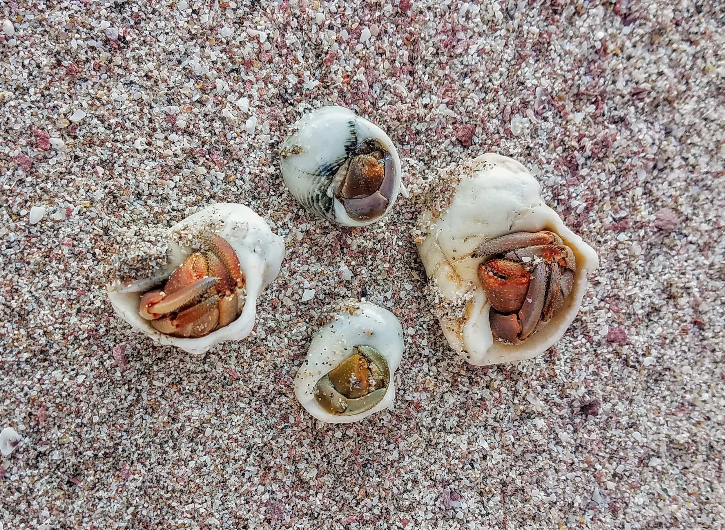
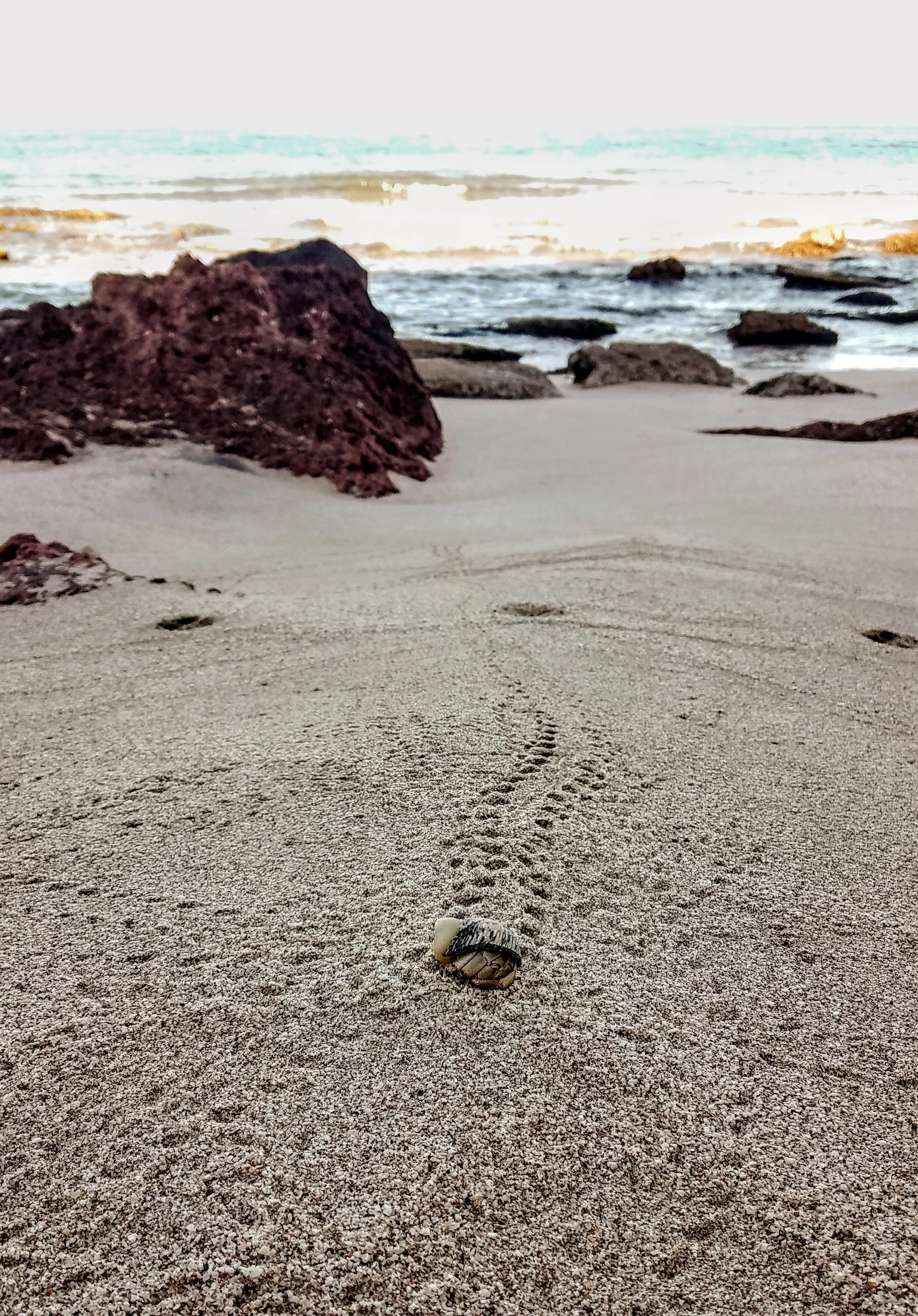
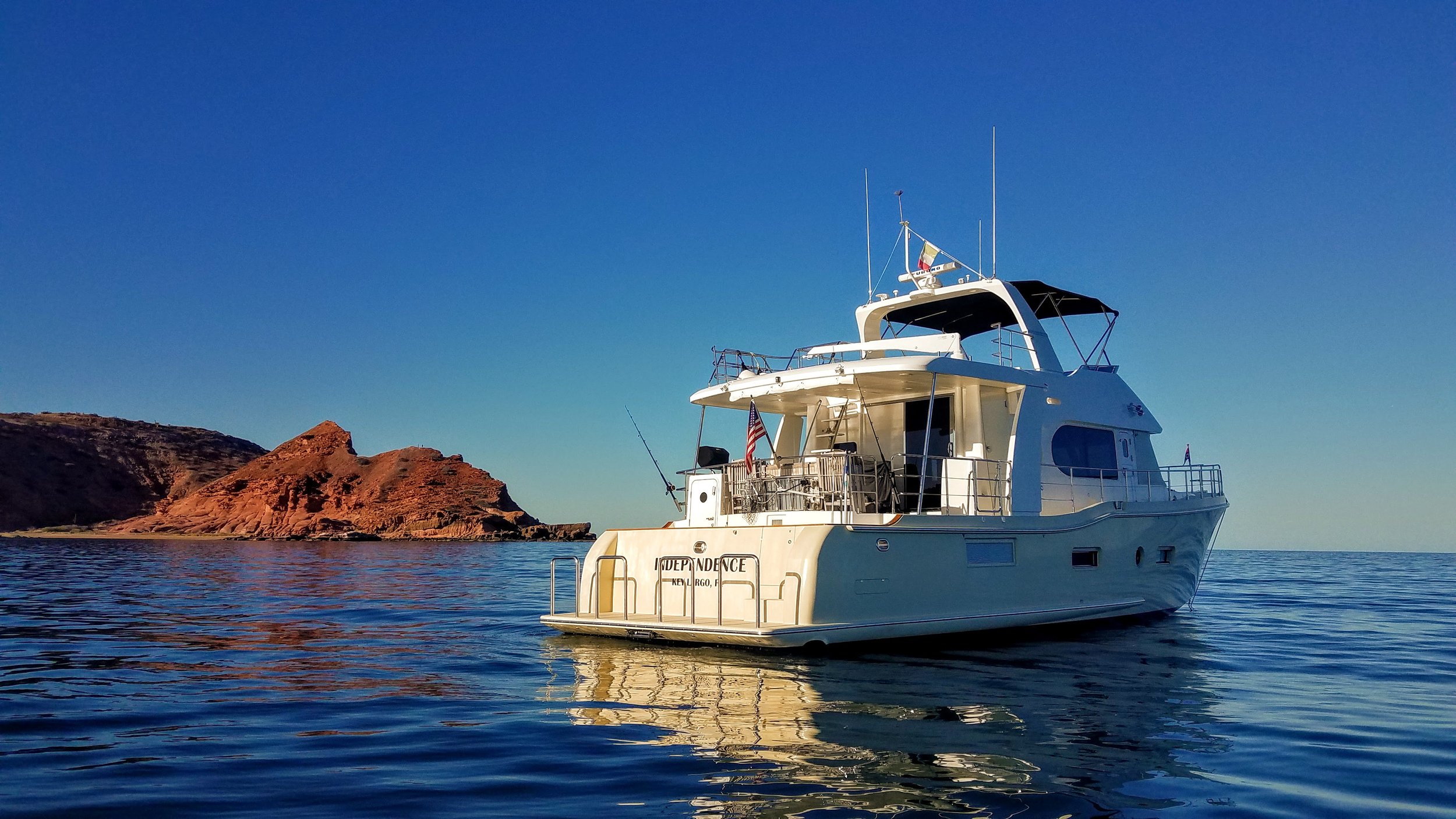
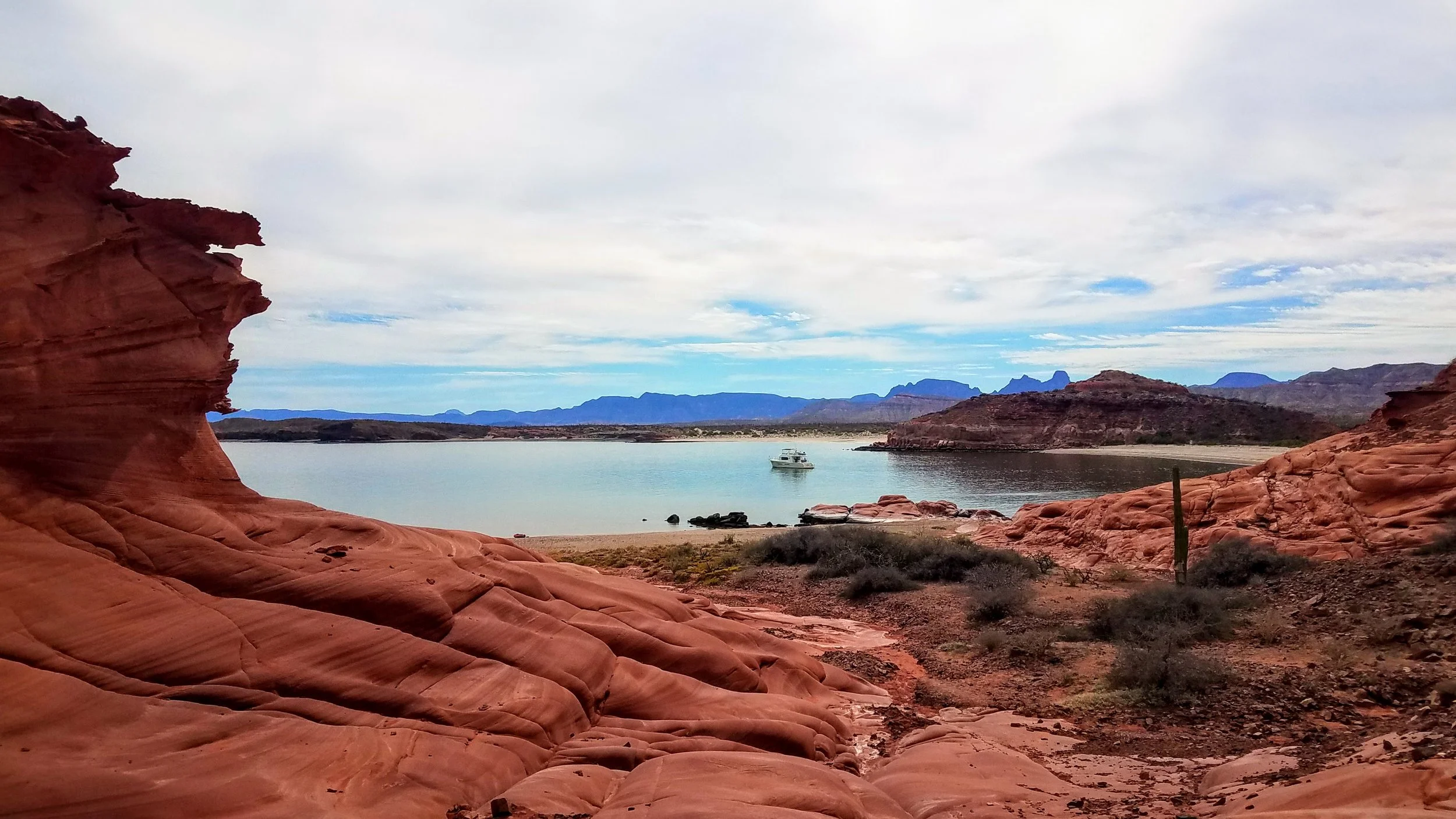
We hang around Cabo San Lucas and play tourist, it was fun and felt pretty special having the boat tied up in the harbor downtown, something I must admit I had dreamed about in the past, “some day I will have a boat out there”. Being in Cabo San Lucas brought a bit more than I had bargained for. I am sure people had caught many worse things in Cabo than COVID, and at least it went away after a relatively short period of time as opposed to other Cabo ailments, so count your blessings, I guess. Well not only did I get COVID just to make things interesting I had, well let’s just call It, an intestinal issue. For days it went on until I tried some antibiotics that were prescribed for us when we left for Central America. Take one pill for three days and hope for the best! It worked, things were starting to look up, and then Jamie gets COVID.

In the meantime, while all this is going on, an old high school friend of mine arrives on the boat to help us out for the Baja Bash. Steve “Gumby” Grant arrived on the day I had my positive COVID test (if you have read prior posts on the Independence Chronicles Log you might remember Gumby was on the boat for the crossing from Key West to Isla Mujeres in January of 2020, he appears to be a gluten for punishment, he has been a huge help on multi day cruises, no worries about leaving him at the helm). I kept my distance and offered to get him a hotel room which he declined and, yep you guessed it he got COVID. Well at least we are all in the same boat, so to speak. No stress here, we are sick, and we must get to the border for insurance purposes.

I had been thinking about this part of our journey for months, maybe even years, probably too much and the stress was building, maybe that is why I got sick. I have a hard time sitting around, so I spent hours planning the trip (see pictures of routes, currents, moon and sun rises, wave heights, etc.). You can try to plan for everything, but Mother Nature is still in charge.

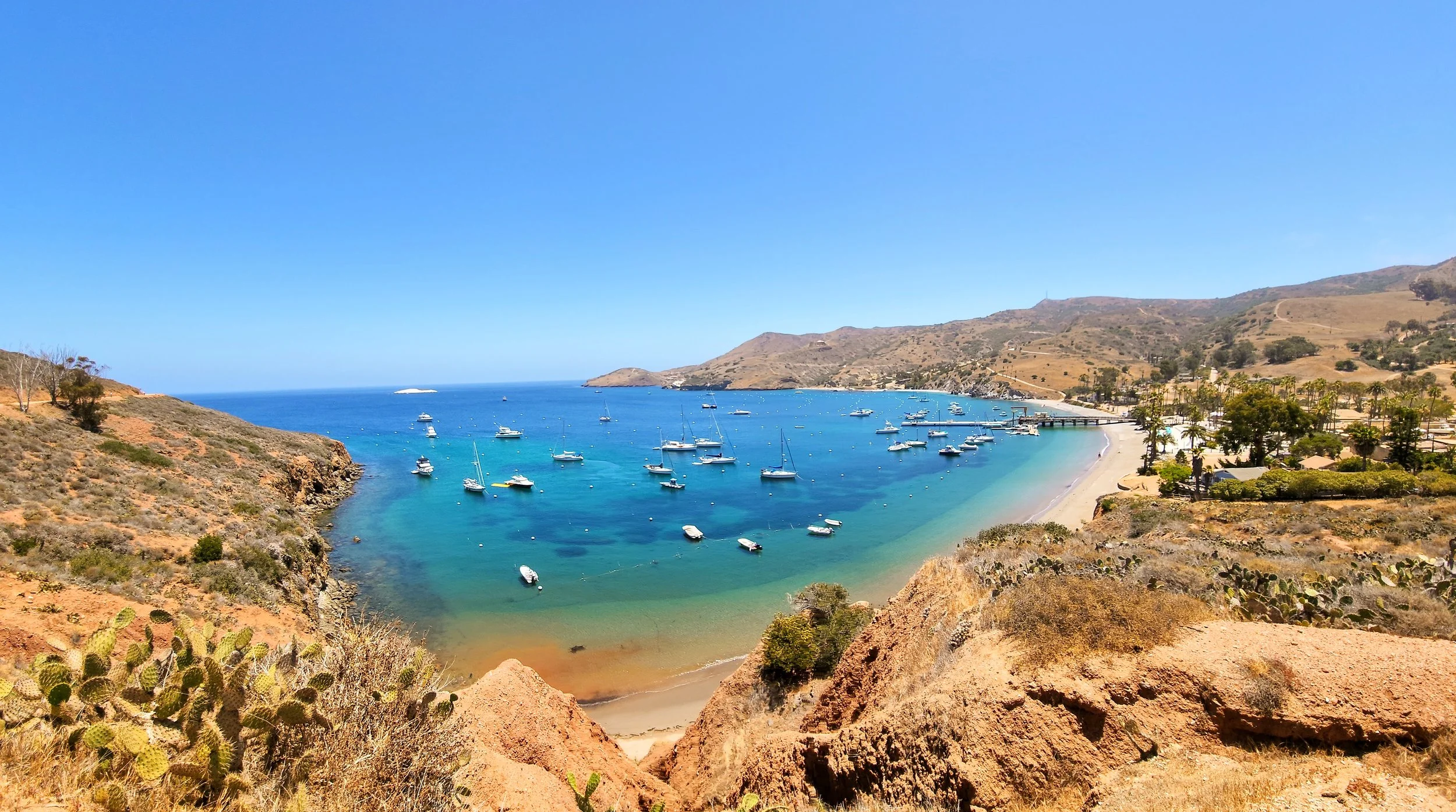
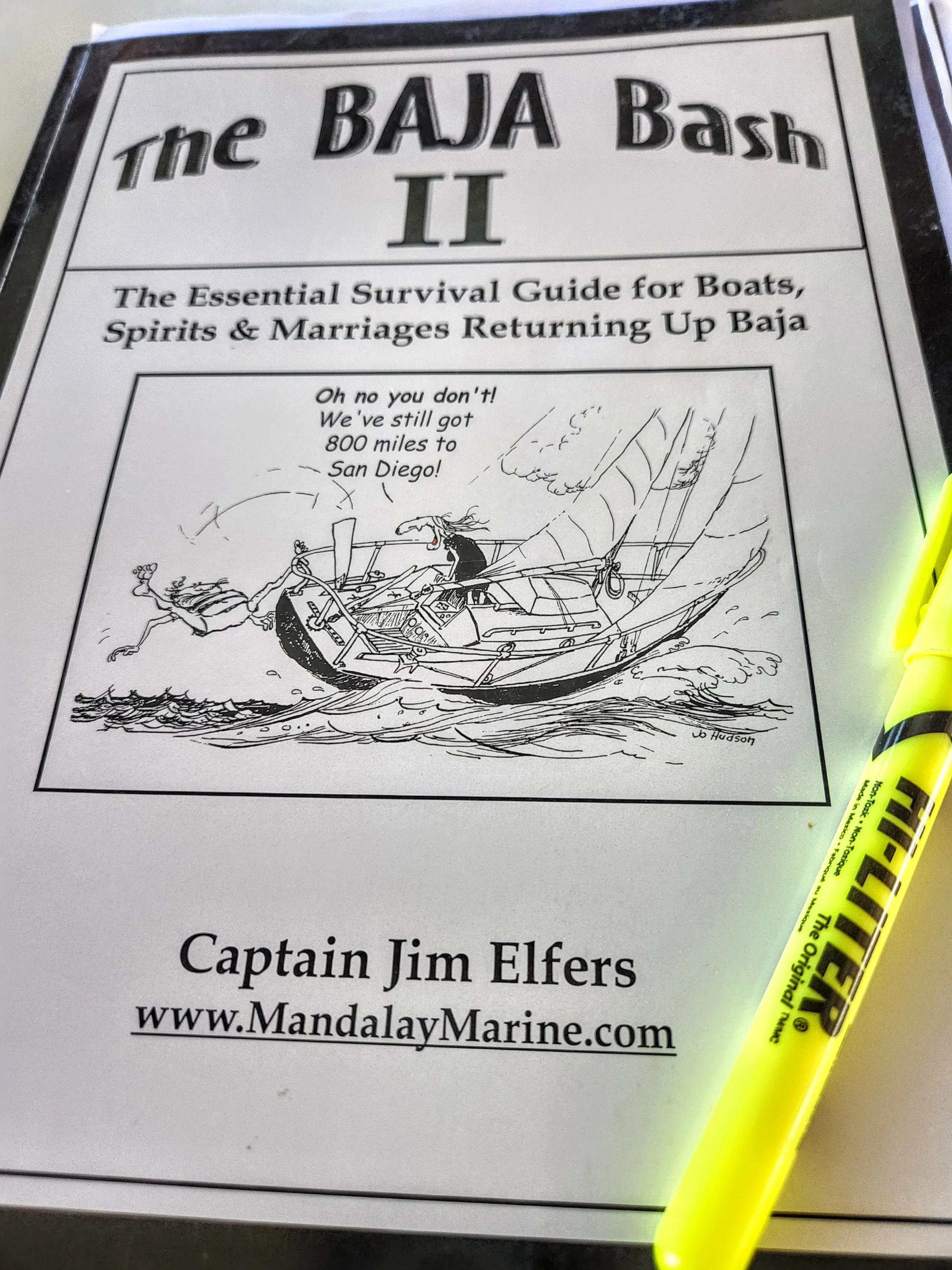
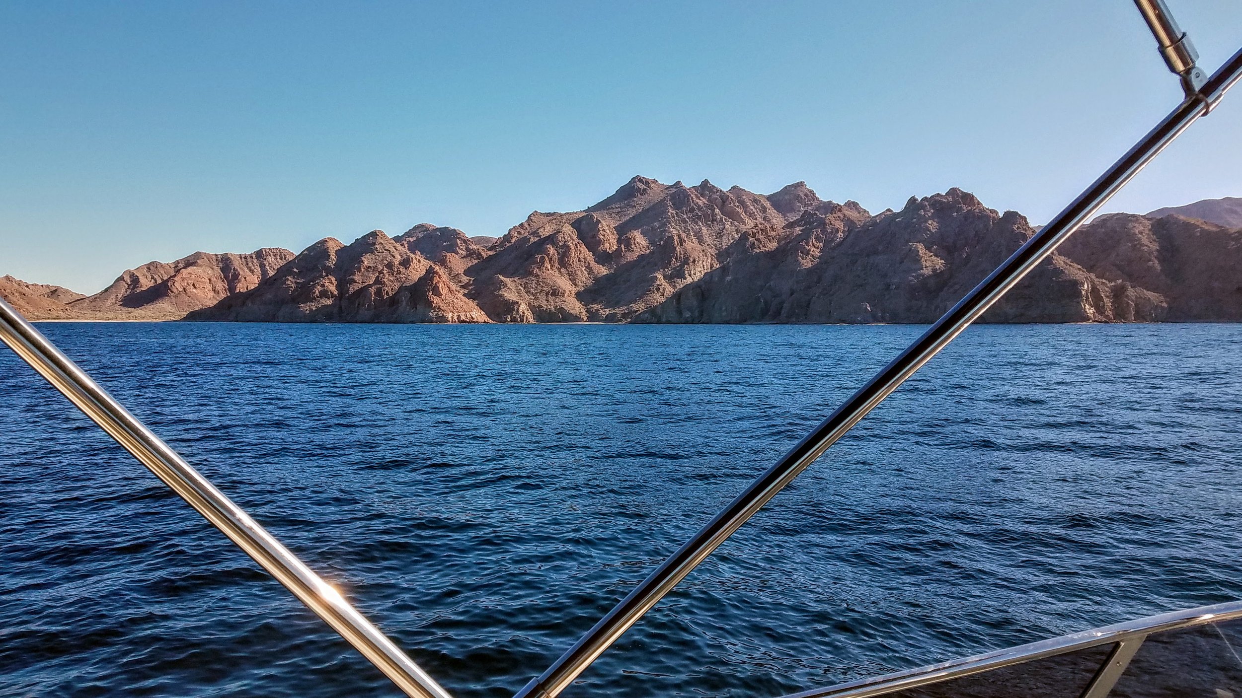
Finally, I spotted a weather window, but it was only for 4 days then the wind and seas would change and there would be 7-foot waves at 9 seconds (big and steep) north near Ensenada. We had to go for it so on Thursday morning May 12th at 5 AM we untied the boat and headed for Ensenada. It took us about 2 hours to get back to Cabo San Lucas to round the corner to what is called Cabo Falso, which is actually the southernmost point, not Los Arcos at Cabo San Lucas. What happens at Cabo Falso is you get a swell coming from the north, generated all the way from Alaska, which then meets a southern swell and you can get some pretty rough seas especially when you throw in some wind waves that come from the Northwest. The waves we encountered were pretty big, maybe 6 to 7 feet but they were spaced far enough apart. We made it through the first hurdle, the seas calmed down as we got farther north and away from the cape influence.

A quick comment about waves. When you see a forecast of waves they might be described as 5 feet every 10 seconds. On Windy.com you can then find additional information, such as Swell 1, 2 and 3 and finally wind waves. This additional information is crucial. Swell 1, with the example above, might be 4 feet from the west, swell 2 might be 3 feet every 12 seconds from the south, swell 3 might be 2 feet every 16 seconds from the south, and wind waves might be 2 feet every 4 seconds from the west. That is a lot of information that tells you that it might be a bit rough out there, why you ask? Well Swell 1 will have 2 feet added onto the 4 feet from the wind waves. On top of that, or should I say in addition, you have swell 2 and 3 coming from the south that can get on top of each other possible creating a 4-foot wave. When you are out there, I can guarantee it, the waves are larger. How can that be you ask? NOA says it best, Wave height is an average, 1/3 of the waves are larger and 1/3 are smaller. Now I don’t know about smaller but they sure are larger.

Windy.com had a forecast that favored staying closer to shore, which we did and had a fairly mild cruise through the evening. I had told Jamie that it was crucial that we take some naps in the day so we could stay awake at night, easier said than done. I could not sleep even as the night came on and on. Jamie was not feeling well, and poor Steve still had some side effects of COVID which seemed to affect his stomach as well. People wanted to sit at the pilot seat at the lower helm and do the watch position so that they could look at the horizon and try to feel better. Ok, I will just lie on the couch close by.

Friday morning came as we passed Magdalena Bay and another point, Cabo San Lazoro. I had read about the points, you always wanted to be there early in the morning before the afternoon winds picked up. It was windy and it was rough, the waves were much larger than forecasted and closer together. We had to slow down the boat but after 3 hours or so it started to settle down and we were able to get the boat back up to 8.75 knots (about 10 Statute Miles per hour). I tried to stay on a schedule so that we would arrive at the points at sunrise or very early in the morning. We kept on a straight course across the bay heading for our next big point which was just north of Turtle Bay and Isla Cedros. As the afternoon approached so did the wind waves, ok I thought, the sun will go down and the wind waves will to. Nope! The wind increased along with the waves and my stress level.

I needed some sleep. The night before I got maybe 2 hours of sleep that was not deep at all, during the day I think I napped a bit but nothing that really helped. Much of the time it was just laying there, but that was resting. Our master berth is located at the perfect spot, just forward of the engines and a tank that started off full with 1,130 gallons of diesel. That made the ride in the master cabin a bit more stable. Also, I must say that the boat was handling it spectacularly, we just had to keep the speed of the boat so it was not getting bashed or dropping off the waves. In the daytime that is somewhat easier, you can see what is coming at you. At night even with a good moon you can’t really get a good feel for the waves…until you drop off the backside of one which happened while Jamie was at the helm, and I was on the couch next to it… BAM! I said to Jamie pull back on the throttles, slow it down.  Now we are doing about 5 to 6 knots which will make for a very long journey to Ensenada.

I had our entire course plotted into the Furuno auto pilot and at that speed we would be out for an extra night, not something I or anybody else wanted to do. Jamie was due for a break and I took the helm and slowly started picking up speed, every tenth of a knot increase in speed felt like a small victory. The seas settled down enough to get the speed up to 9 knots roughly and I started thinking maybe we should try to pull into Turtle Bay and rest. I texted a friend over our Garmin In-Reach satellite device, and he confirmed that the seas on that extra day would be 7 feet and the seas near Isla Cedros would be larger. It wasn’t an option, we had to keep going. Morning came as we passed Turtle Bay (I really do wish we could have gone in there). I checked our forecast on what friends sent and what our Sirius Weather showed on the Furuno screen. I also checked the sheet of paper that I printed out before leaving that had expected currents. The consensus was stay northwest of Isla Cedros and the cape effect that occurs due to the waves, current and wind working their way around the north east corner of the island. This was a good choice because we had calmer seas and a shorter distance. BUT I could not believe the currents we were facing. I had done many engine room checks and our fuel consumption was well within the range I had forecasted. As Saturday night approached, I did an engine room check and saw that we had about 550 gallons of diesel left and we had another 187 miles to go, a huge reserve, let’s keep the speed up. I brought our fuel burn up to 12.9 gallons an hour, but our speed was bouncing all over the place due to the currents, 8.6 to 10 knots. No problem, we had plenty of fuel.

We had an uneventful night except clouds moved in and that beautiful full moon I was expecting was blocked. The crew was doing great, we were able to have a decent meal as opposed to just trying to keep down a PBJ or a Ham sandwich and I got some sleep - deep sleep.

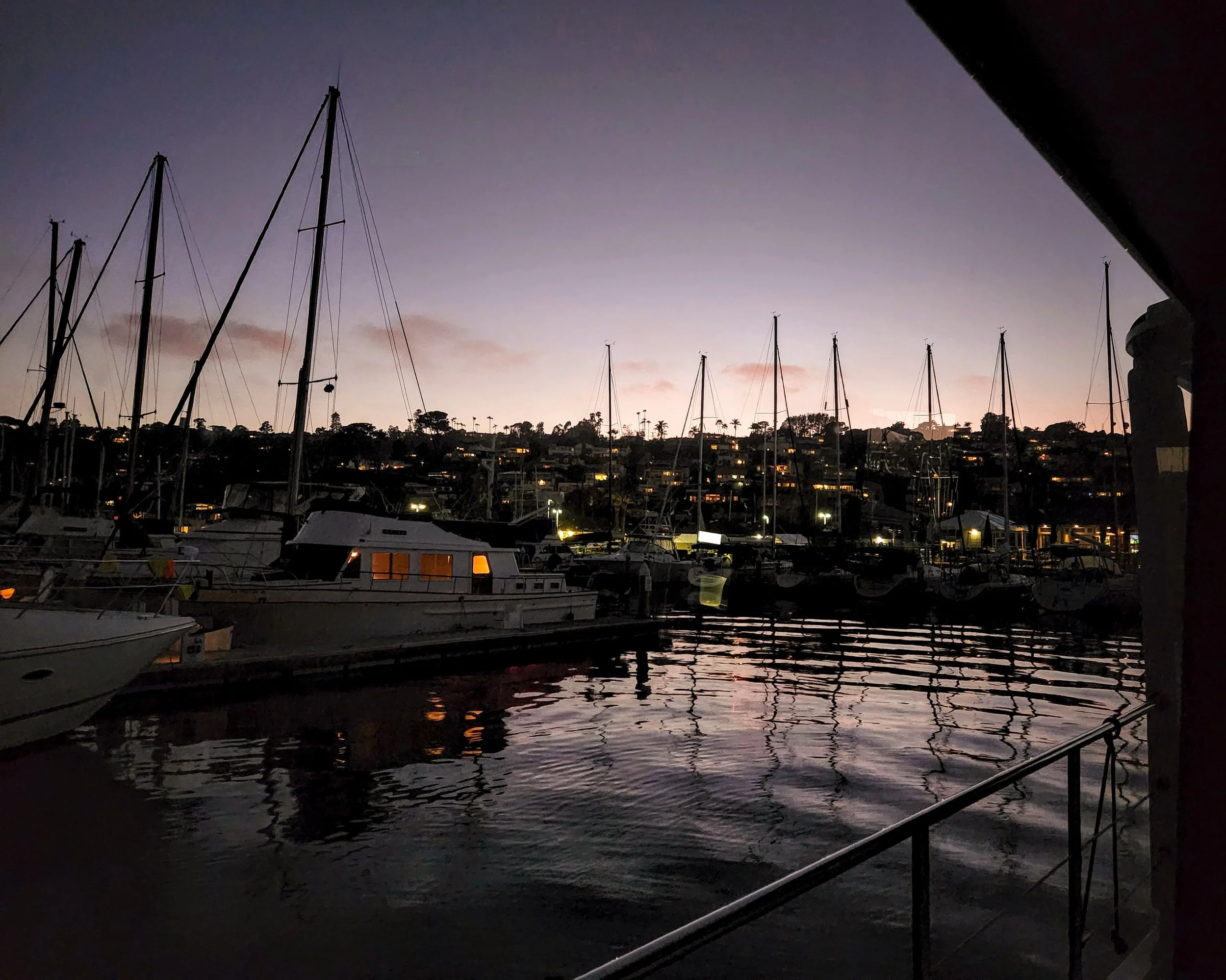
The sun rising was a welcome sight, I felt well enough to even have coffee. Up until then I was going on my third day of no coffee or liquor (I never touch it while operating the boat, not even a beer). The seas were rollie but spaced far apart, a nice cruise, except the currents. On our travels over the last several years we have had some big currents, the East River in New York City we were fighting a tide and a current of 6 to 7 knots, but it wasn’t for long. The rest of the morning until we pulled into Ensenada I had the RPMs up to 1430 and we were only going 9 knots but as we got closer to Ensenada we were going just over 10 (normally at that fuel burn we would be doing about 12 knots. We wanted to load up on fuel and tie up at our slip before they closed the Marina in Ensenada, we made it.

After three days of seeing no other boat and exactly 3.5 days of travel, 662 Nautical Miles (761 Statute Miles) we made it to Ensenada. Steve was great, he spent so much time at the helm all I could do was lay on the couch. Jamie either spent time at the helm or slept. I probably got 8 hours of sleep the entire time but it really is amazing how little you can get away with when need be.

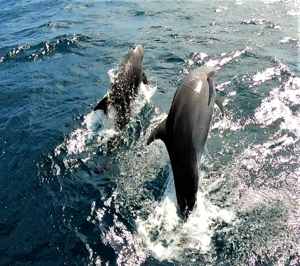
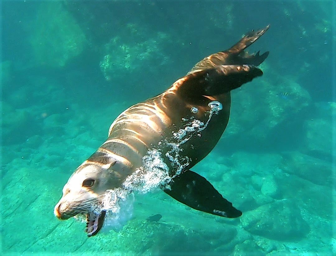
I am so happy the Baja Bash is behind us. There are some great memories, especially tying up the boat in Ensenada, the number of dolphins we saw were incredible. They would come up to the boat and give us an escort at the bow and play in the waves, I never tire of watching them. When we were doing The Great Loop, we had a very stressful time when we left Demopolis Alabama and the rivers were at flood stage with trees floating by. Later I thought “glad we did it, glad it’s over”. With the Baja Bash maybe it’s still too fresh in my mind, all I can think is “glad it’s over”.

Map points (A,B) where we needed our friends to send weather forecasts via Garmin InReach

Additional northern map points where weather forecasts (C,D, E & F) were needed

Thursday, Friday & Saturday mileage estimates with expected weather forecasts with wave size, swell, size direction and wind wave height and periods

Saturday & Sunday mileage estimates with expected weather forecasts with wave size, swell, size direction and wind wave height and periods

Expected currents day one, two and three

Expected currents day three & four

Sun and Moon schedule for rising and setting

Estimated times with magnetic degrees in case of equipment failure

Puerto Escondido to La Paz

Not too much fresh news on the cruising front as we will just be heading back to La Paz and mostly anchoring at the same spots on the way South as we did on the way North. There are many more people/boats in the Sea of Cortez now as April is definitely the high season. The weather is turning warm and running the gamut of light and variable winds, which then become a sustained 13 knots with gusts of up to 20 knots, so you really never know what you are going to get. This makes Larry’s job of picking an anchorage even more challenging with crazy winds coming from all directions and plenty of boats vying for the best wind protection. But, that’s life on the hook and it is very special when you find that perfect, quiet anchorage with the dramatic and majestic baja mountains silhouetted in the sunset, followed by the stars that burn so bright in the pitch black sky above you cascading all the way down to the horizon. Baja is truly magical place.

Our fellow dock mate at Puerto Escondido. The 75 million dollar superyacht Moonstone (nearly 200 feet long) is owned by brothers Rob and Richard Sands who own Constellation Brands (marketer/producer of wine, beer & spirits). They left the marina a day before us. I thought it was amusing that their yacht takes up our entire salon window!

This is Moonstones’ toy hauler called Shadow. I can’t even begin to tell you the variety of toys on this 180 foot yacht…but on the deck alone there were jet skis, a little sailboat, an amphibious motor/tank-tread landing craft, a wake-board boat and all this is trailed by their tender (the boat with the four huge outboard engines).

We spent two nights at this anchorage at Punto Colorado hiding from some nasty winds, not too far from Puerto Escondido.

Independence and a fellow Nordhavn ‘Seacret’ share the bay at Punto Colorado with us. She is a beautiful 76 foot trawler owned by the very nice couple, Hilda & Jeremy.

Larry in front of Seacret and the Independence at Punto Colorado

A mummified Trigger fish…too often found on the beaches. Their teeth are large and pronounced, designed for chomping on coral.

A pretty crab molt

Morning sun on Seacret and Bella Luna (owned by Deanna and Rob) in Punta Colorado anchorage

Coffee and dogs. Deanna takes Rob and Jeremy and the pack to the beach for a morning run.

Semana Santa (Holy week) is a time when families gather together (often at the beach) to play and feast. Agua Verdi was very busy when we anchored there a few days before Easter.

The little palapa cafe with view of Bahia Agua Verdi and the large sailing ship that anchored for the evening

Didn’t catch her name but she was a beauty

Sunset at Aqua Verdi anchorage

Moon set over the cactus at Bahia Agua Verdi

9,000 Nautical Miles! Cruising Northward towards La Paz

Night Watch Award!

Wow, were we surprised when our yacht club (SFYC) awarded us the “Night Watch’ Cruisers of the Year award this past March. We jumped on a plane and came home early to receive the award and give a short talk. Larry and I were completely humbled to have our names placed on this trophy. The original recipients of this award, Suzanne and Gerald Knecht, were the first in the club to circumnavigate the world (completed in 1987). We certainly have not come near to that, but we will have traveled over 10,000 nautical miles by the time we arrive back to the safe harbors of the San Francisco Yacht Club.

Where the trophy lives in the club house at the SFYC, Tiburon, CA

Más Misiones

Before returning to the Bay Area, Larry and I took a little drive down memory lane and visited Mulige and San Ignacio. It had been sixteen years since we had last walked through these towns. We thought of all the great times we had with our travel buddies, Jodi and Gary Horsman, on some of our earlier adventures in Baja. We also did a little drive out to Misión San Francisco Javier de Viggé-Biaundó nestled way up in a valley above Loreto.

The mission in San Ignacio dates to 1760.

The alter panels were brought from various parts of Mexico dedicated to San Ignacio de Loyola, patron of the mission (center).

The mission ceiling

St. Martin de Porres. The broom is a symbol of his devotion to his work, no matter how menial.

The Virgen de Guadalupe

The fresh water lagoon at San Igancio

The rancher that owns these horses let us know that this mare is due to foal in three weeks.

Misión San Francisco Javier de Viggé-Biaundó dates back to 1699

The mission alter panels with San Francisco Javier at the center

Every 2nd of December hundreds of pilgrims come to visit this mission and place their milagro charms here to pray for improved health

Life On The Boat In The Sea Of Cortez

As the year draws to a close, Larry & I look back at the last few amazing months with great appreciation for one of the most beautiful places in the world…the Sea of Cortez. Larry put together a compilation of our videos and we hope you enjoy it as you sip your New Year’s beverages. All the best, and here’s to smooth seas in 2022.

Just click on the underlined link below to access the video.

Hundreds of Dolphins in the Sea of Cortez

Hundreds of dolphins in the Sea of Cortez

Whale Sharks of La Paz, Baja, Mx

For many years I have wished to swim with the whale sharks and even tried years ago (unsuccessfully) in Belize. So, when I heard we were keeping the boat in La Paz, I grew cautiously optimistic, knowing that they are often found in the surrounding waters. Soon after arriving in La Paz we started asking around about when and how to see the sharks. Little did we know, that the Whale Shark tours are now highly regulated in order to protect the sharks and the industry. We further learned that you can only get to the waters they are found in with a licensed guide and as of last week, the sharks were nowhere to be seen. Then, two days ago, Larry received an email from one of the licensed companies letting him know the whale sharks were back and tours were starting up the next day. We jumped at the chance and jumped in the boat the following day.

Door to door service. The Carolina - Fun Baja ponga picks us up right at the boat

The tour was to start in the morning but the ‘first come, first serve’ on-line check-in system they use to control the ratio of boats to whale sharks bumped us to the afternoon group. When we finally set off we had only three other couples with us on the ponga, which was good, as you can only dive in groups of four or less. The next step was to check in with the controller that counts the amount of people on board and confirms the legitimacy of the guide and boat captain. This is done by parading the boat in front of the control office (on a cliff above the water) while they check us out with high powered binoculars. Once cleared, we race to the protected area where the boat slowly enters and the search is on.

Carlos explains the rules for swimming with the sharks. No touching, no diving, never get in front and stay about three feet away at all times

Another tour with swimmers with a shark

Very quickly, our guide, Carlos spots a juvenile but when we get in the water the youngster is too shy and scoots away with just a ghostly apparition in the murky water. The visibility is not what I had hoped for…certainly not the crystal clear water that they advertise in the tour promotions…but then you realize that they are feeding on all the plankton that makes the water so cloudy in the first place. Carlos (and now the whole boat) is searching eagerly for the tell-tale brown shadow that lurks right beneath the surface of the water as the sharks cruise their feeding grounds. We are envious when we see other boats find their shark and excitedly jump in the water. Finally, after almost an hour another tour boat ‘shares’ their shark. We take turns over the next hour jumping in and swimming with this languid creature that appears to not even know we are four feet from it. The gill rakers ripple and flutter as the shark inhales large gulps of water filtering out the bits of food. Hard to believe these large sharks survive on such a tiny food source. The moments swimming with the shark feel dream-like as you paddle along side in the murky water just a few arms lengths away…a truly unforgettable experience!

Our group of four returns to the ponga after 10 minutes with the shark and then the next the next group can jump in. You get three jumps per tour. Photo grab from Larry’s GoPro

The mouth of the shark gapes open and the water continually ripples through the huge gills. The coloring/patterns are amazing and distinct to each shark - like a ‘fingerprint’. Photo grab from Larry’s GoPro

Whale sharks are a true shark (cartilage not bone skeleton). They are the largest living shark and is the only member of the Rhincodontidae family. Photo grab from Larry’s GoPro

Photo grab from Larry’s GoPro

A collage of photos, as the shark is too large to get into one photo with the conditions that day. All photos courtesy of Larry’s GoPro

Happy to have had this incredible experience

Amigos

After the complications of provisioning, flat tires and rental car returns, it is a relief to head out on the water with our friends Chris and Keith. Both have spent time on the Independence before and it is great to have the crew back on board. We head north towards the spots we have scouted previously and choose anchoring spots according to the wind.

Day 1: We anchor at the neighboring Puerto Balandra and tender over to Tecolote for a cerveza

Day 2: Rum punch at Bonanza anchorage after a great snorkel at the rocks in the background

Heading north to San Evaristo

Sunset at San Evaristo

Day 3: Independence back at anchor in San Evaristo bay. We take the tender to dinner at the palapa bar.

Day 4: Isla San Francisco. We tender to the beach for the hike around the island

The winds pick up so we head back to the marina. With four footers and the wind at our stern we are joined (again) by an amazingly playful pod of dolphins. Photo by Larry

Photo by Larry

After washing down the boat the crew deserves a cold one. We celebrate a great cruise with even better friends at the pool bar back at Marina Costabaja.

Thanks amigos for coming to La Paz and cruising on Independence with us!

San Jose del Cabo, Baja, Mexico

As it is time to restock provisions on the Independence, we begin to think about a trip to Costco in San Jose del Cabo. It is only a two and half hour drive from La Paz, so we rent a car and stay the night in the sweet town and shop the following day. It just so happens that our friends Chris and Keith are flying into the San Jose del Cabo airport later that afternoon.

According to San Jose del Cabo Guide.com, Spanish sailors in the 17th and early 18th centuries would anchor their galleons at the entrance of the the mouth of the Rio San Jose in Estero San Jose to get fresh water. Evidently, as this became the norm, English pirate raids became a bit of a problem and so the Spanish felt it was time to create a permanent settlement in the Cape region. It was also a means to an end of the Guaycura and Pericu Indian uprisings that were threatening the Spanish missions of the north. After several years of battles between armed Spanish troops and the local populations (1723 to 1729) , Jesuit Padre Nicholas Tamaral founded Mission San Jose del Cabo in 1730. Padre Tamaral and the Pericus Indians lived alongside one another until the Padre denounced polygamy, which was a long tradition in the Pericu society. Padre Tamaral punished a Pericu Shaman for violating the anti-polygamy decree and the Pericu Indians rebelled and burned the mission in October of 1734 and Tamaral was killed in the attack. The Spanish then built a presidio/fort to protect its population and mission from further Indian and pirate attacks. The native Indian population in the area was virtually extinct by 1767 due to European diseases or in battles with the Spanish. After the Mexican War of Independence (freedom from Spain 1810-1821) there was then the Mexican American War (1846-1848) where Mexican Naval officer Jose Antonio Mijares won the battle against the U.S. marines on the frigate Portsmouth. The town plaza in San Jose del Cabo is named for Mijares and this is where the current mission is located, built by the farming communities in the 1930’s to the 1940’s.

San Jose del Cabo did not become a popular tourist destination until the sportfishing community discovered its bounty in the 60’s and 70’s. The main street to the town plaza was just paved last year.

The Mission San Jose del Cabo

The tile mural above the entry of the mission depicts the Pericu Indians response to Padre Tamaral’s edicts to denounce polygamy in 1730

San Jose’s town plaza - Plaza Mijares

Colorful fiesta flags line the streets of San Jose

Baja Brewing is calling

Established in 2006 and going strong

Baja Brewing kegs ready to tap or ship out to other locations. The brewery is in the background.

Great murals inside the brewery…

We like the atmosphere…the lager - not so much

Street charm. Getting ready for Dias de los Muertos

We eat Tamales from the vendors in Plaza Mijares and enjoy the fiesta atmosphere

Another great mural

These trees (Yellow Bells or Tecoma gaudichaudi) are blooming everywhere

Perhaps we bought too much at Costco.?!? We were on our way to the airport to pick up Chris and Keith when we got a flat tire. We had checked the spare ‘doughnut’ tire prior to leaving the rental office but did not check if all the parts to lift kit were there…big mistake, as there was a crucial piece missing and we could not jack-up the car.

The people in Baja are amazing. A great guy from the condo complex we stopped in front of came out with a floor jack and we could now get the spare tire on the car. Avis was great and let us swap cars at the airport and then we scooped up Chris and Keith and got them to the boat in La Paz.

Chris and Keith settling in to life on the boat…a dice game decides who will get the forward stateroom