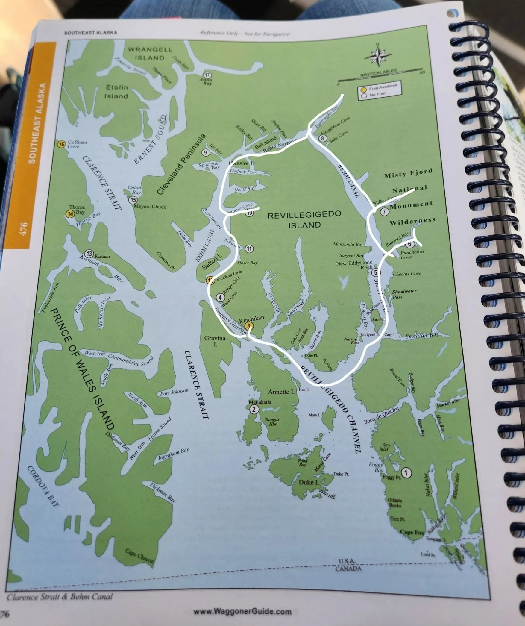
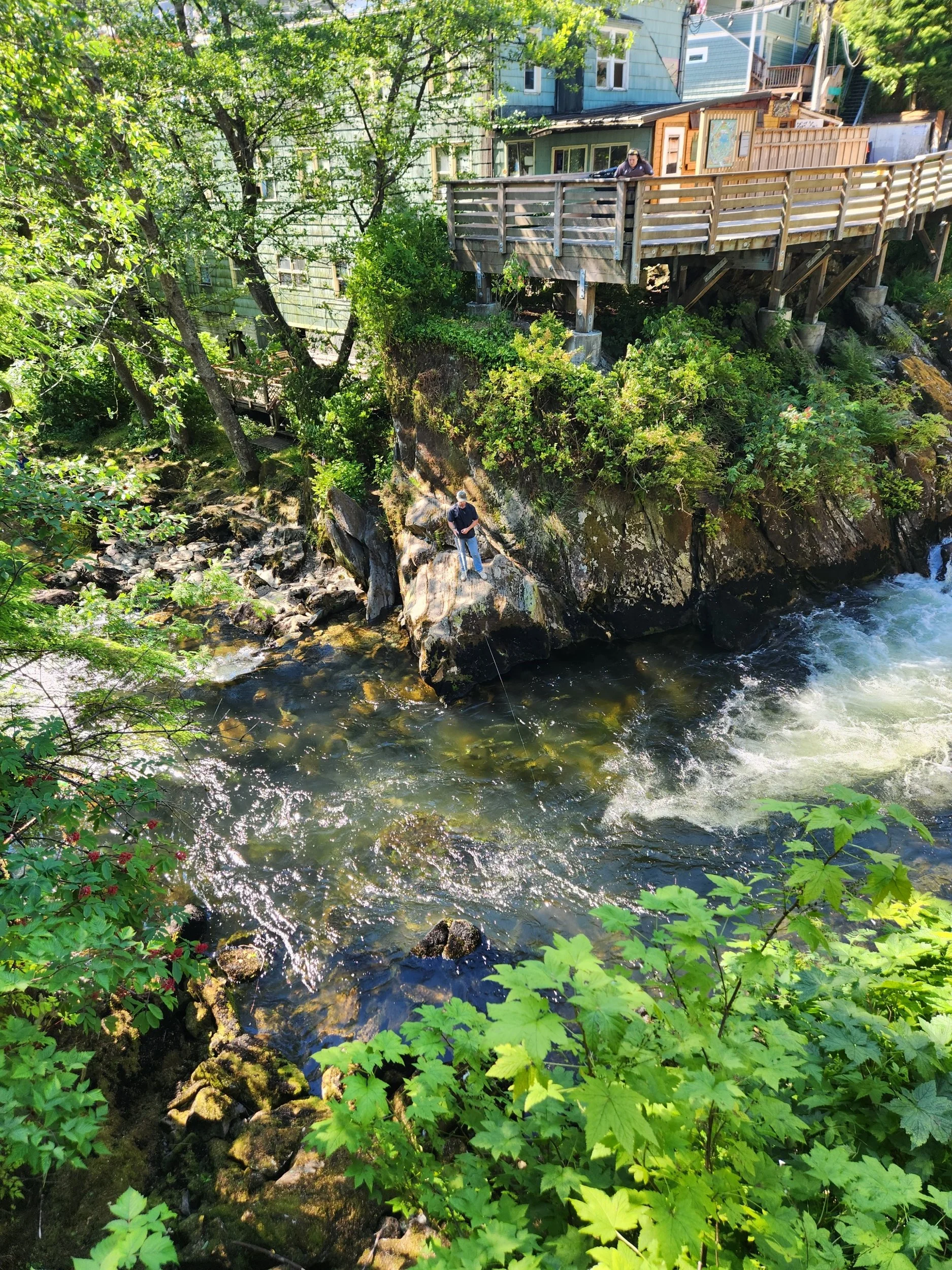
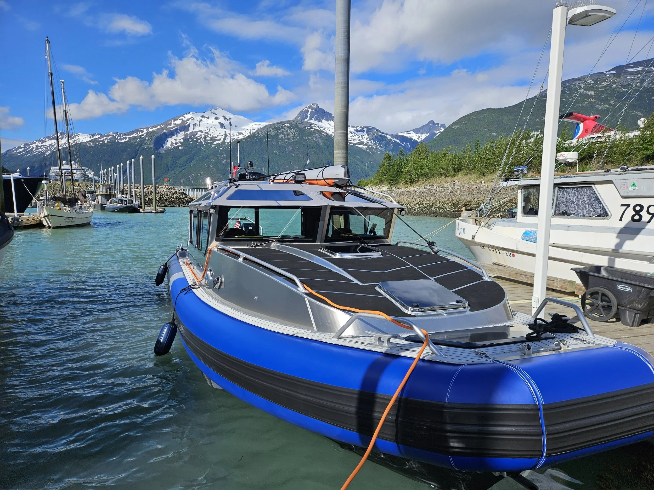
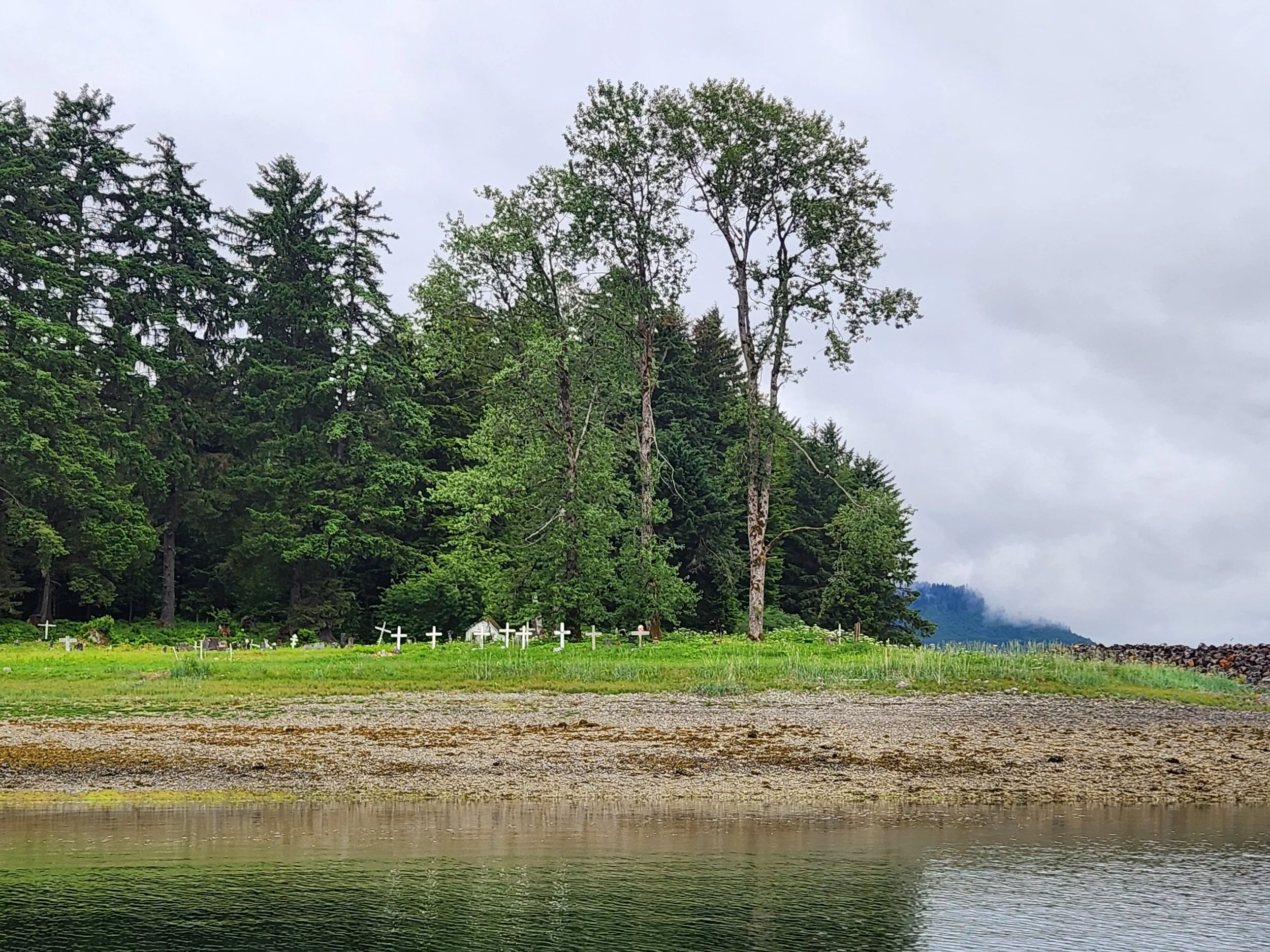
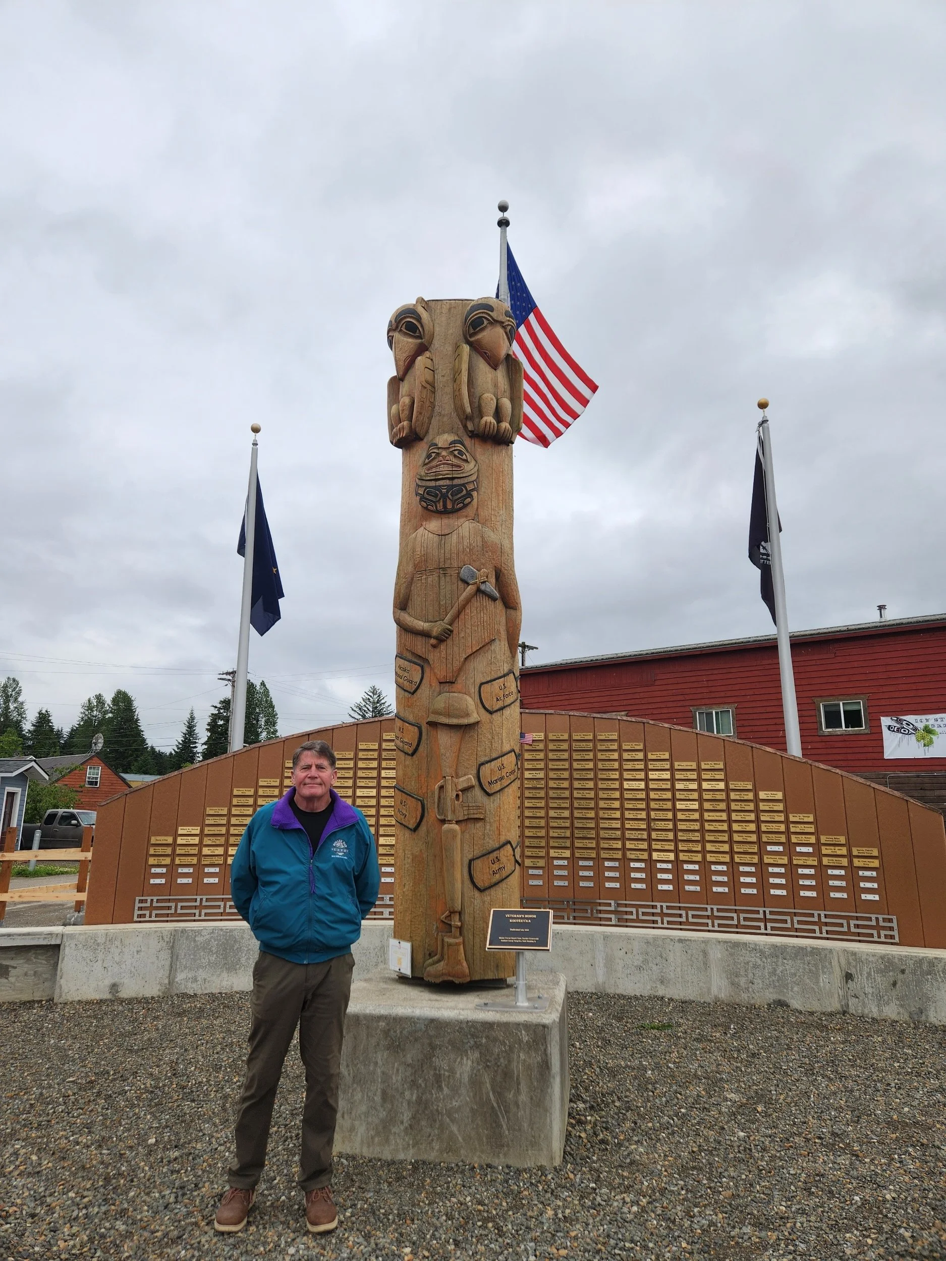
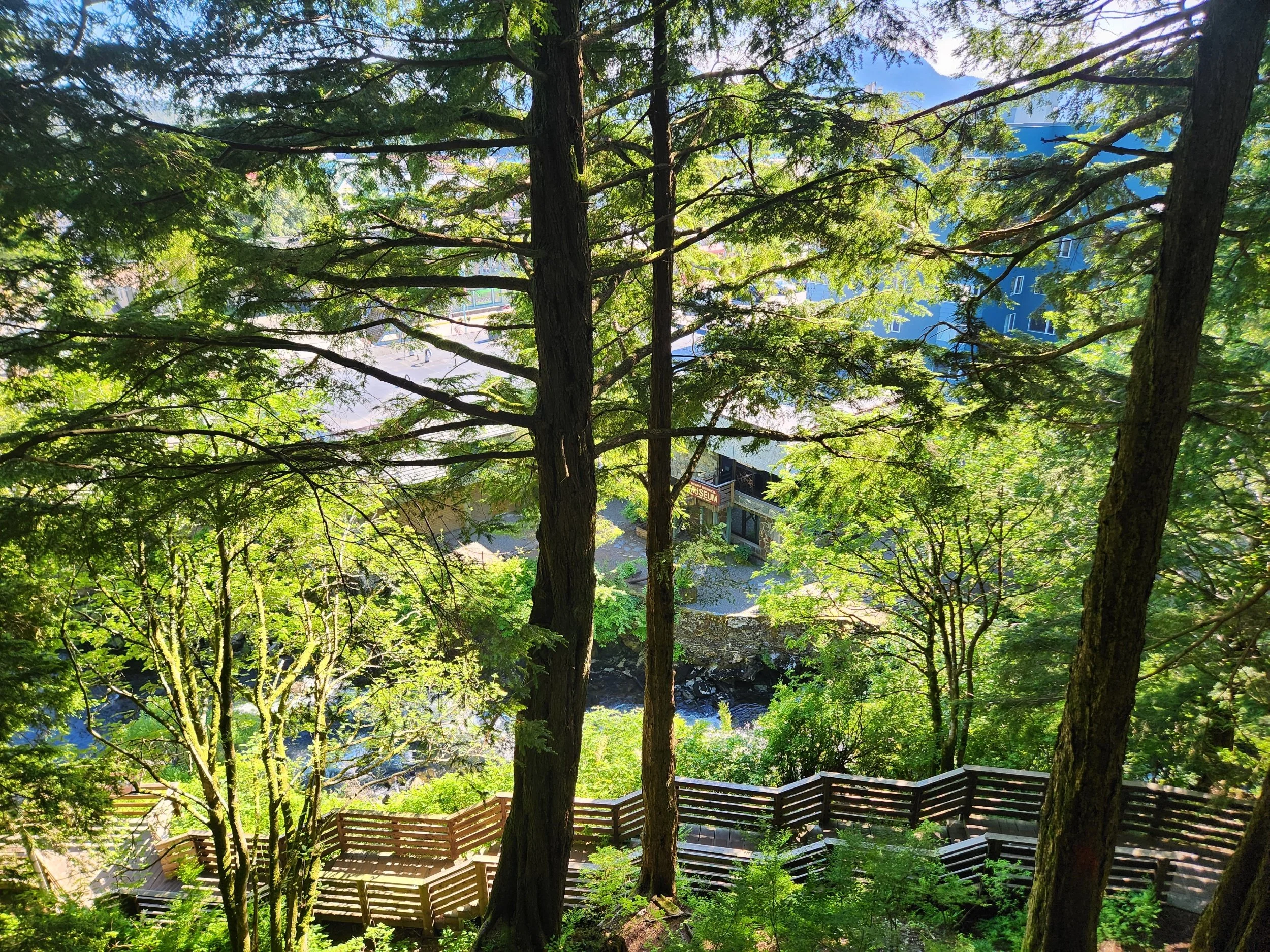
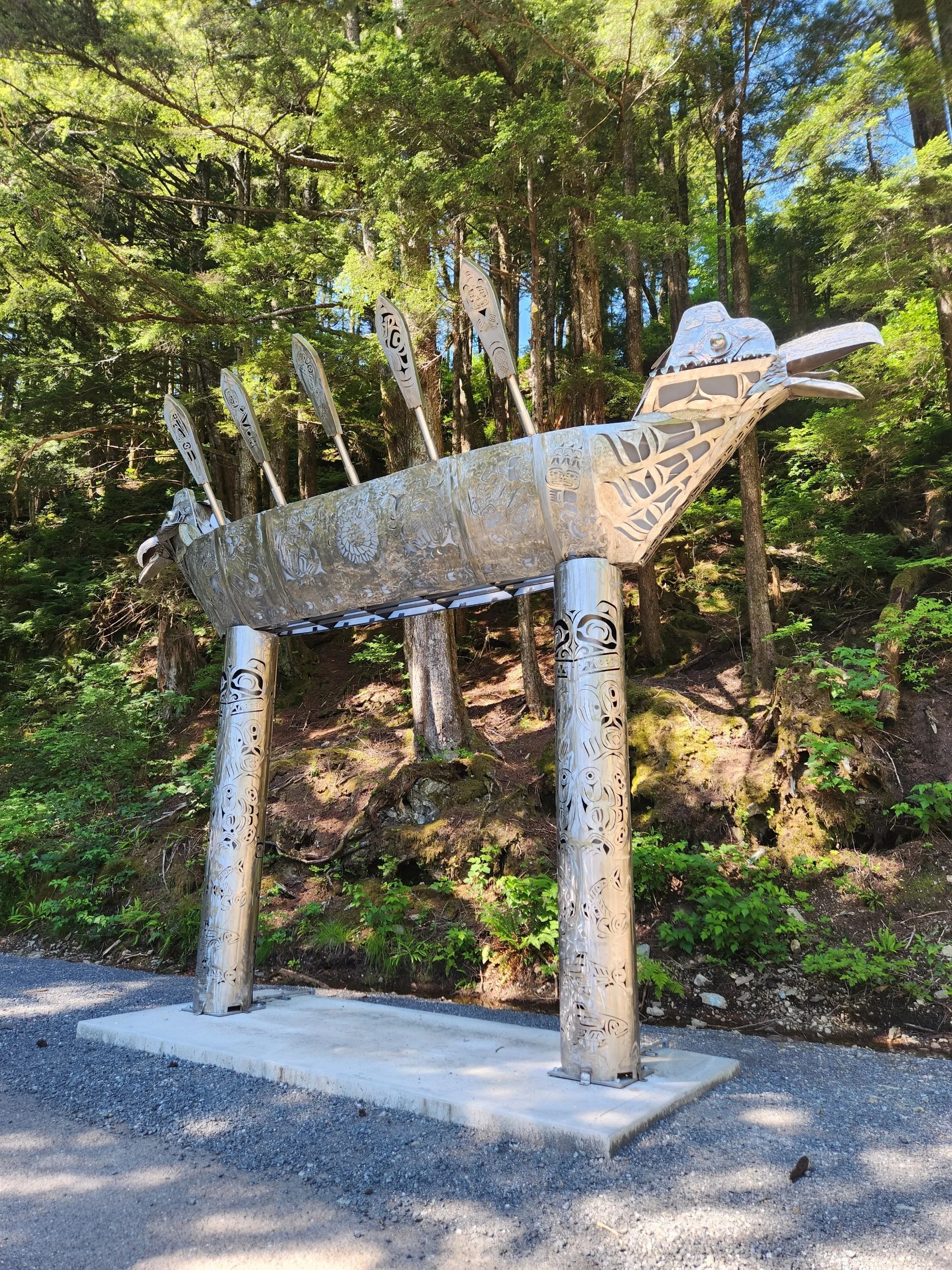
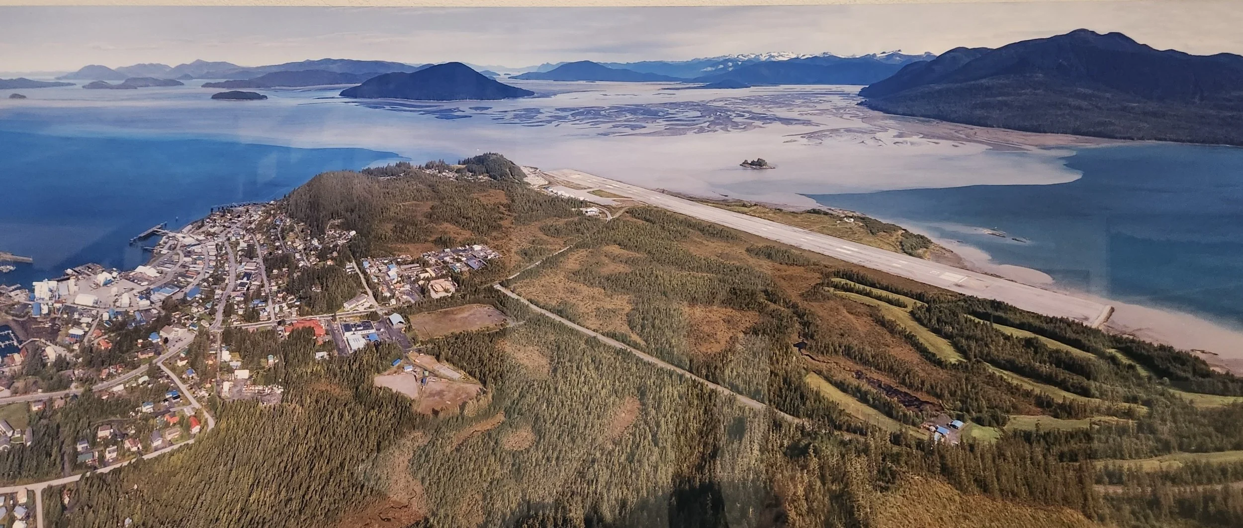
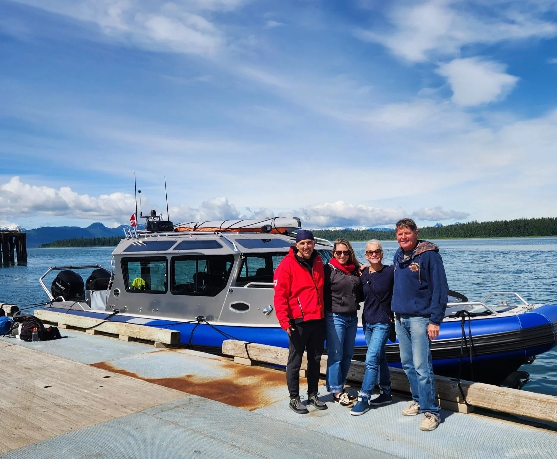
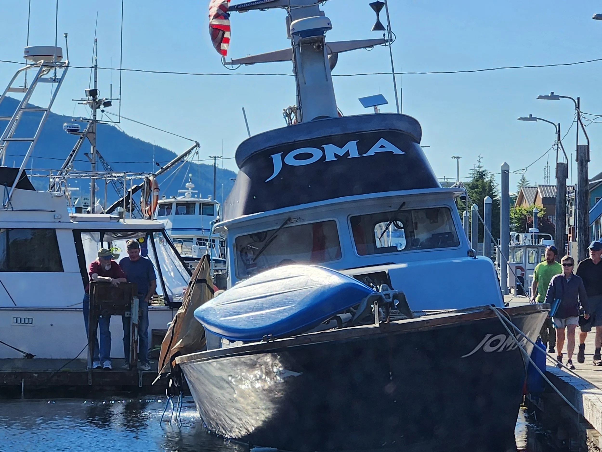
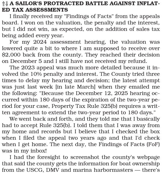
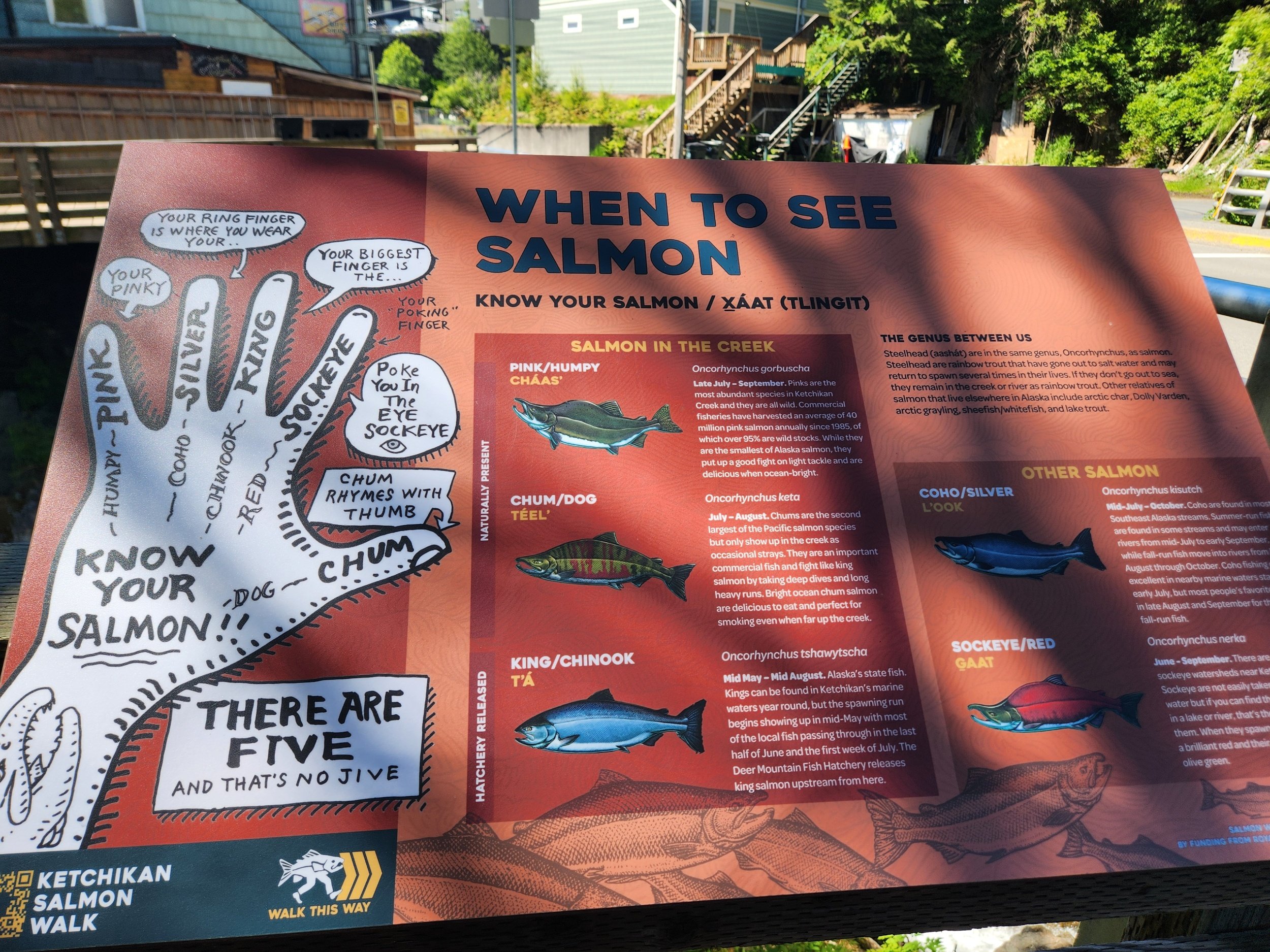
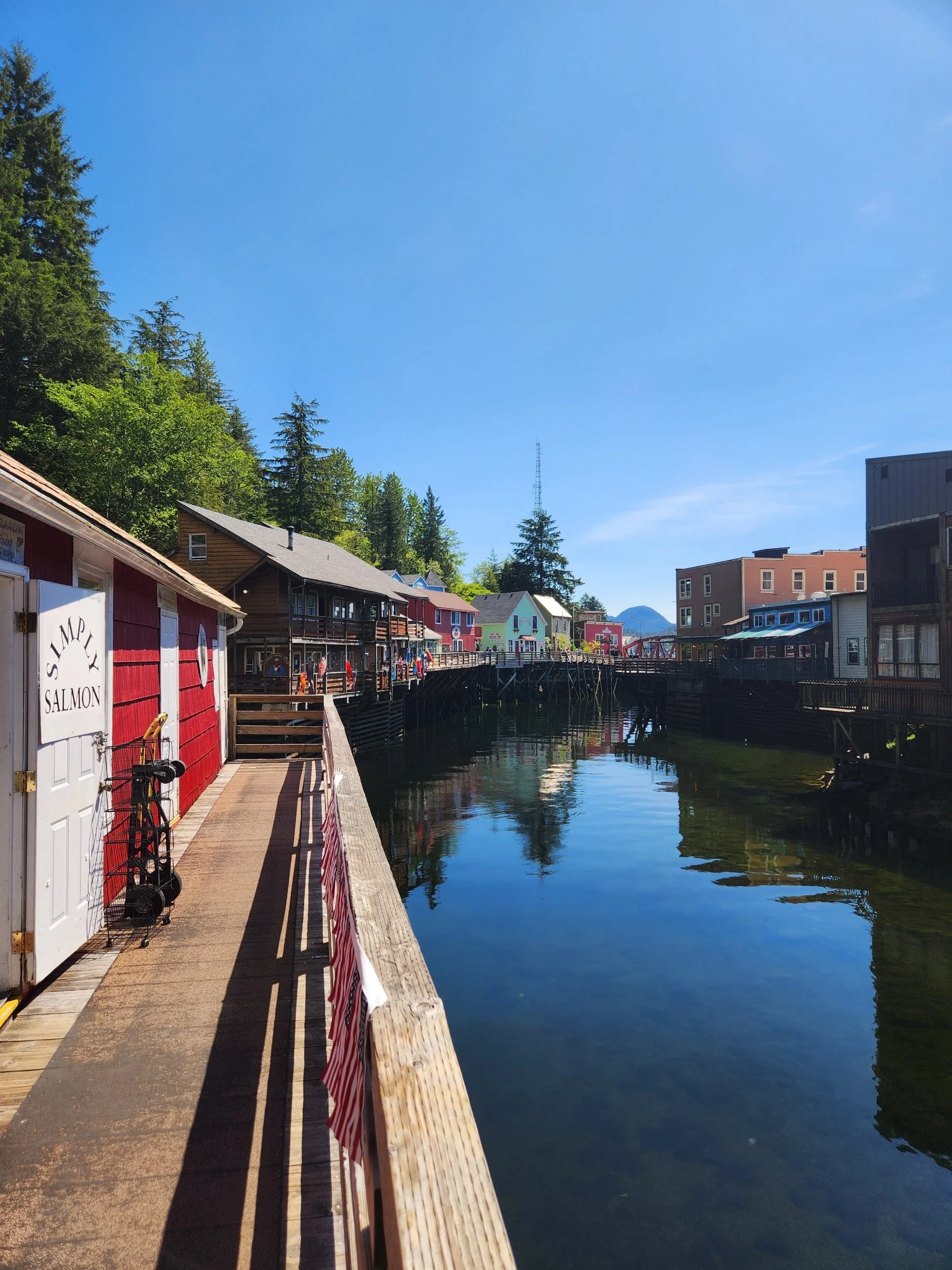
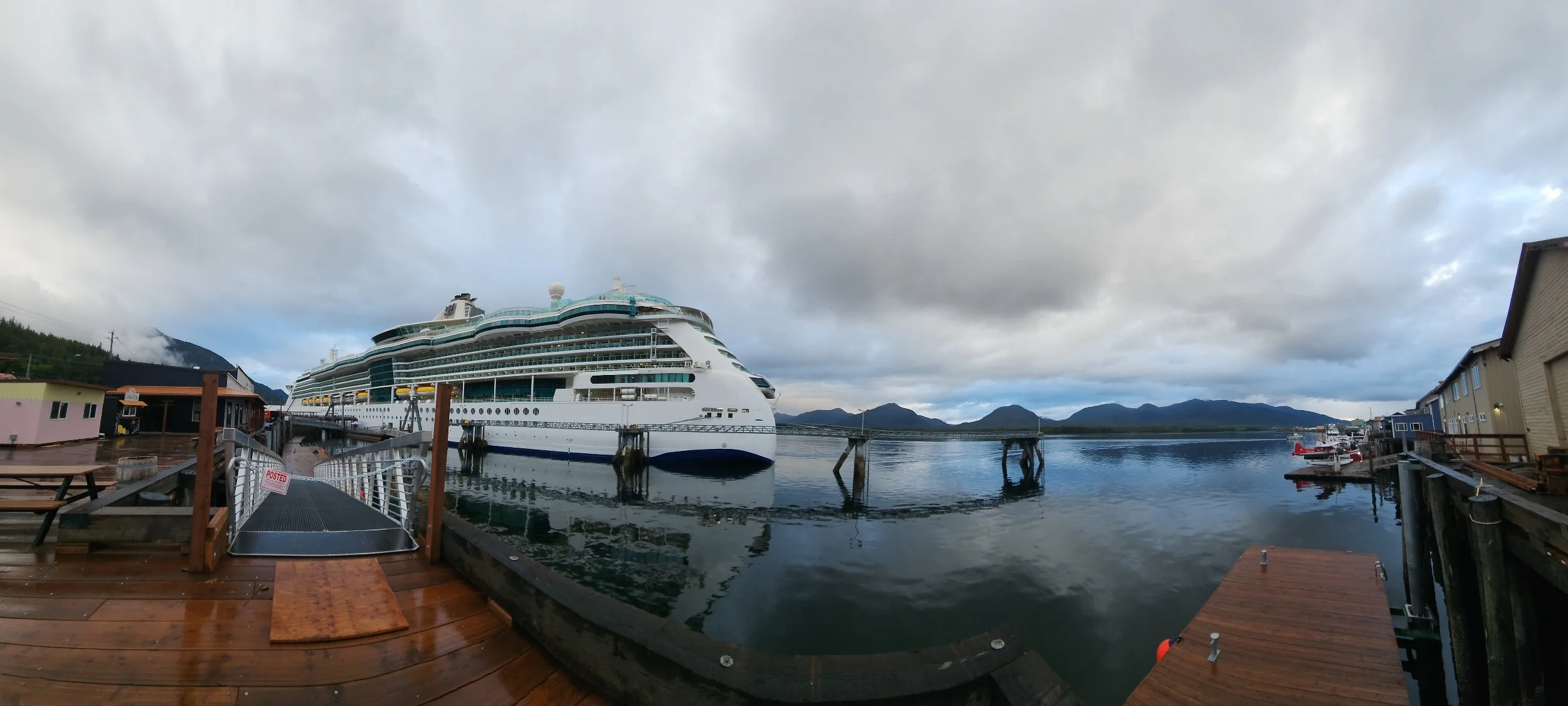
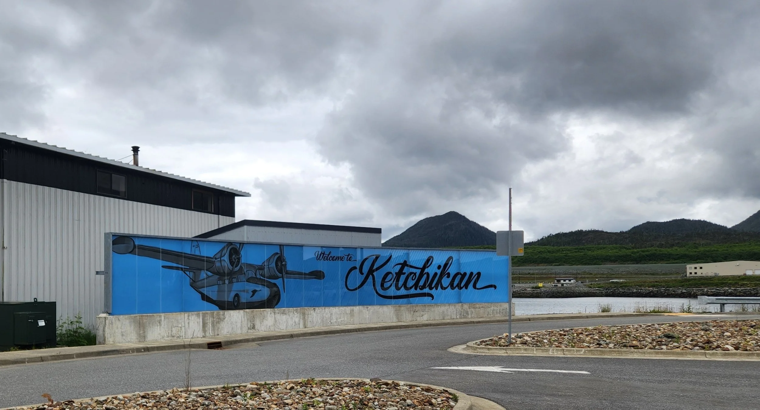
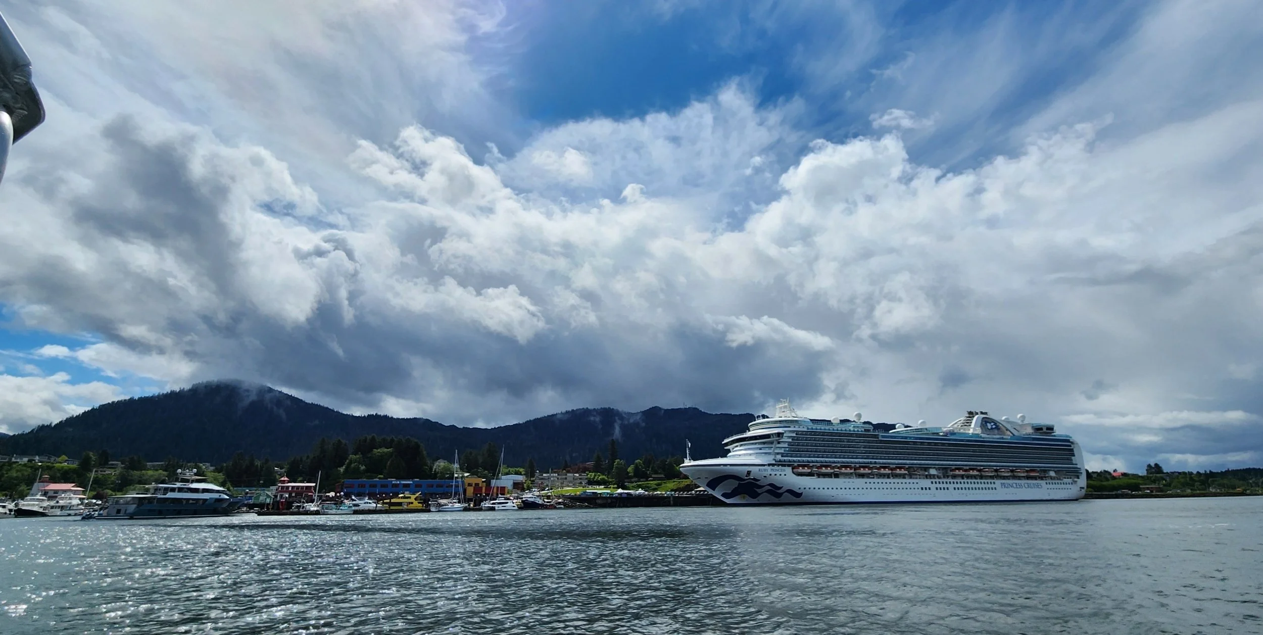
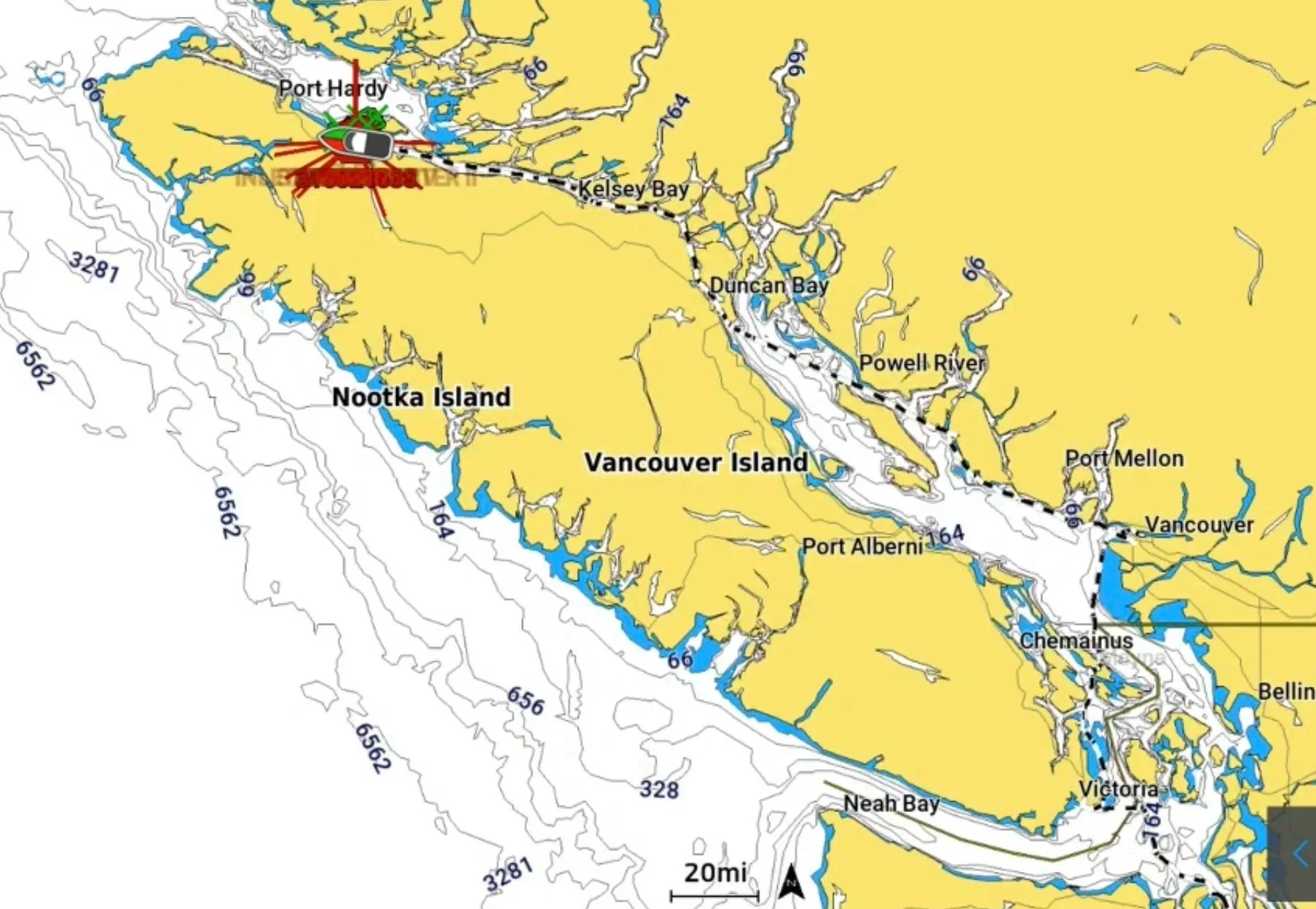
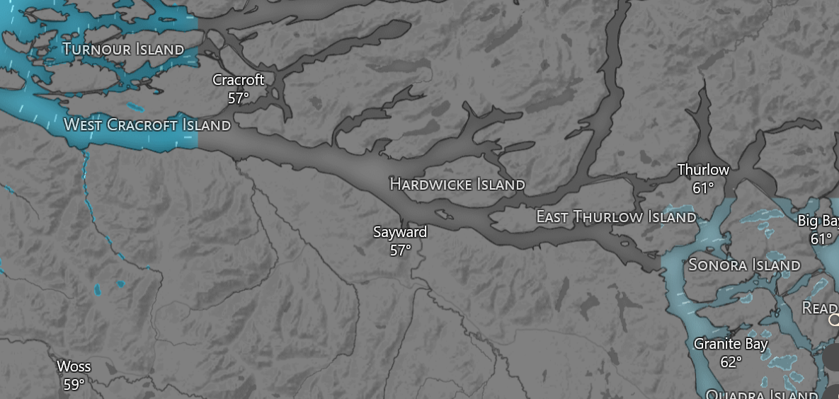
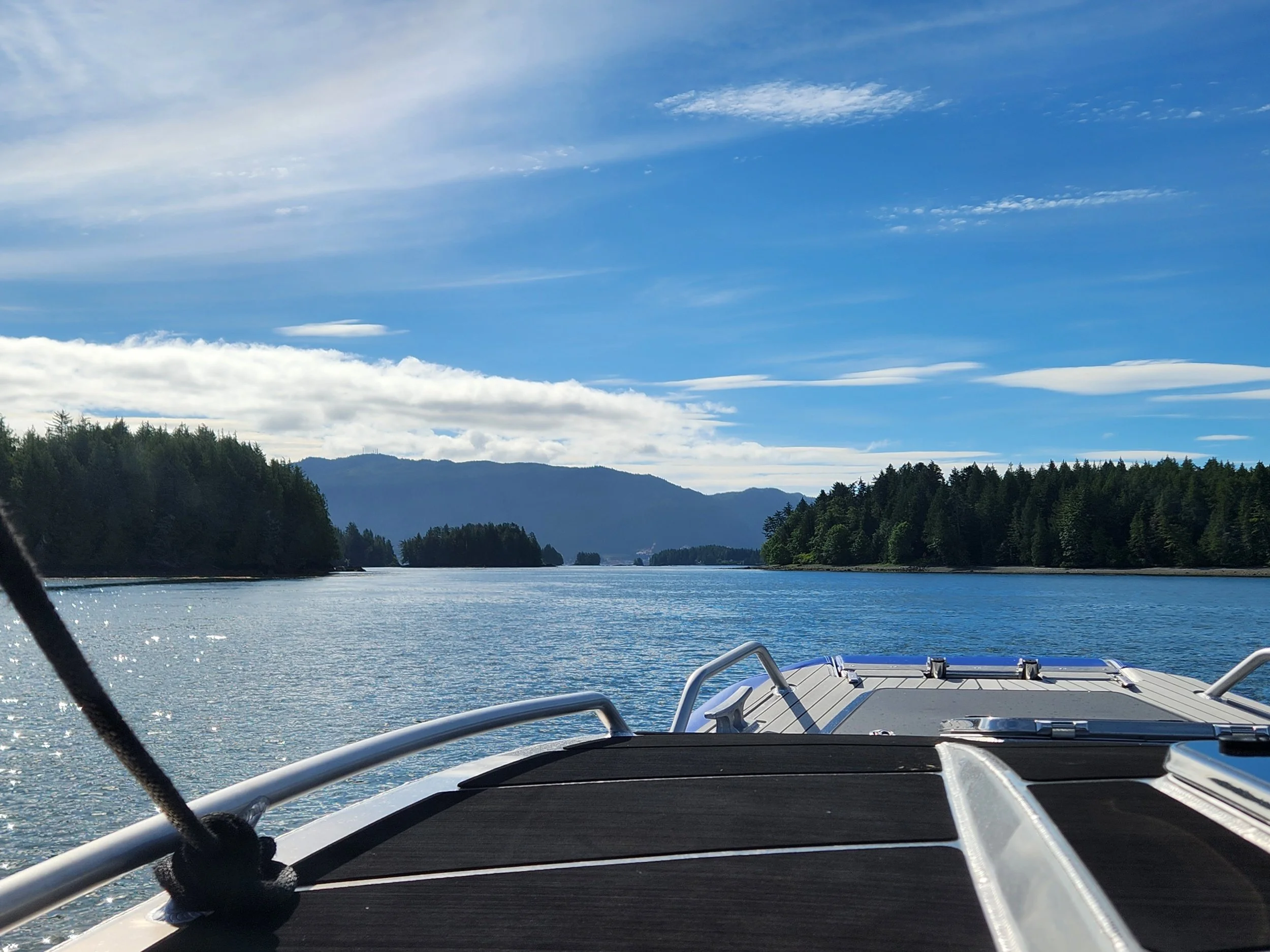
Ketchikan, AK to Prince Rupert, Bishop Bay, Shearwater & Port McNeill, B.C., Canada (448NM)
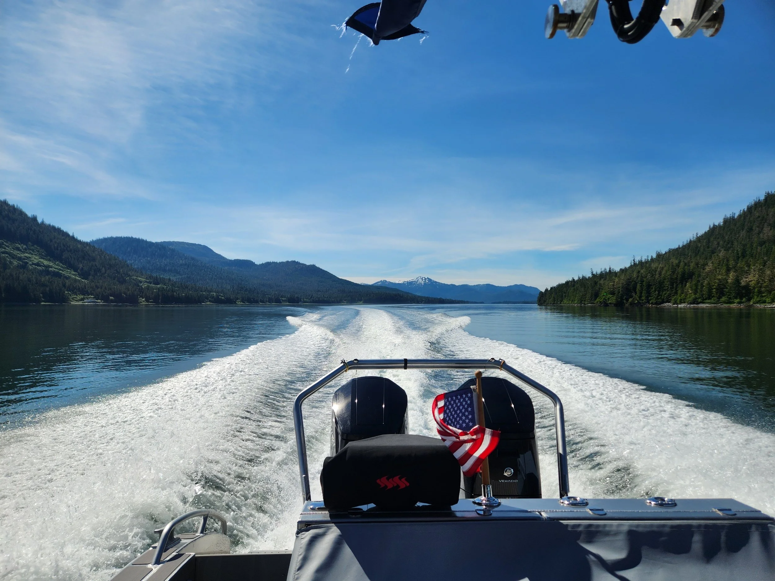
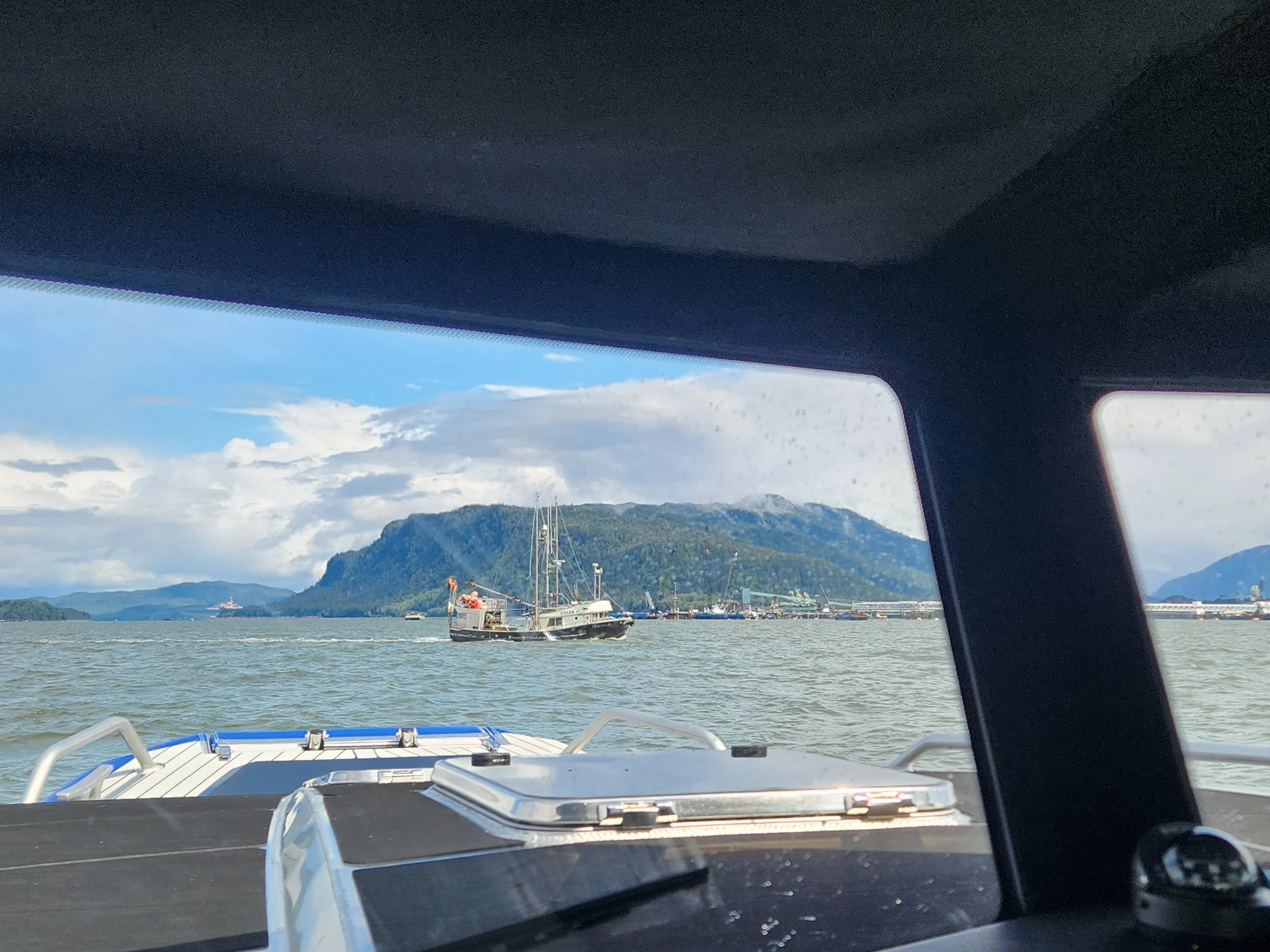
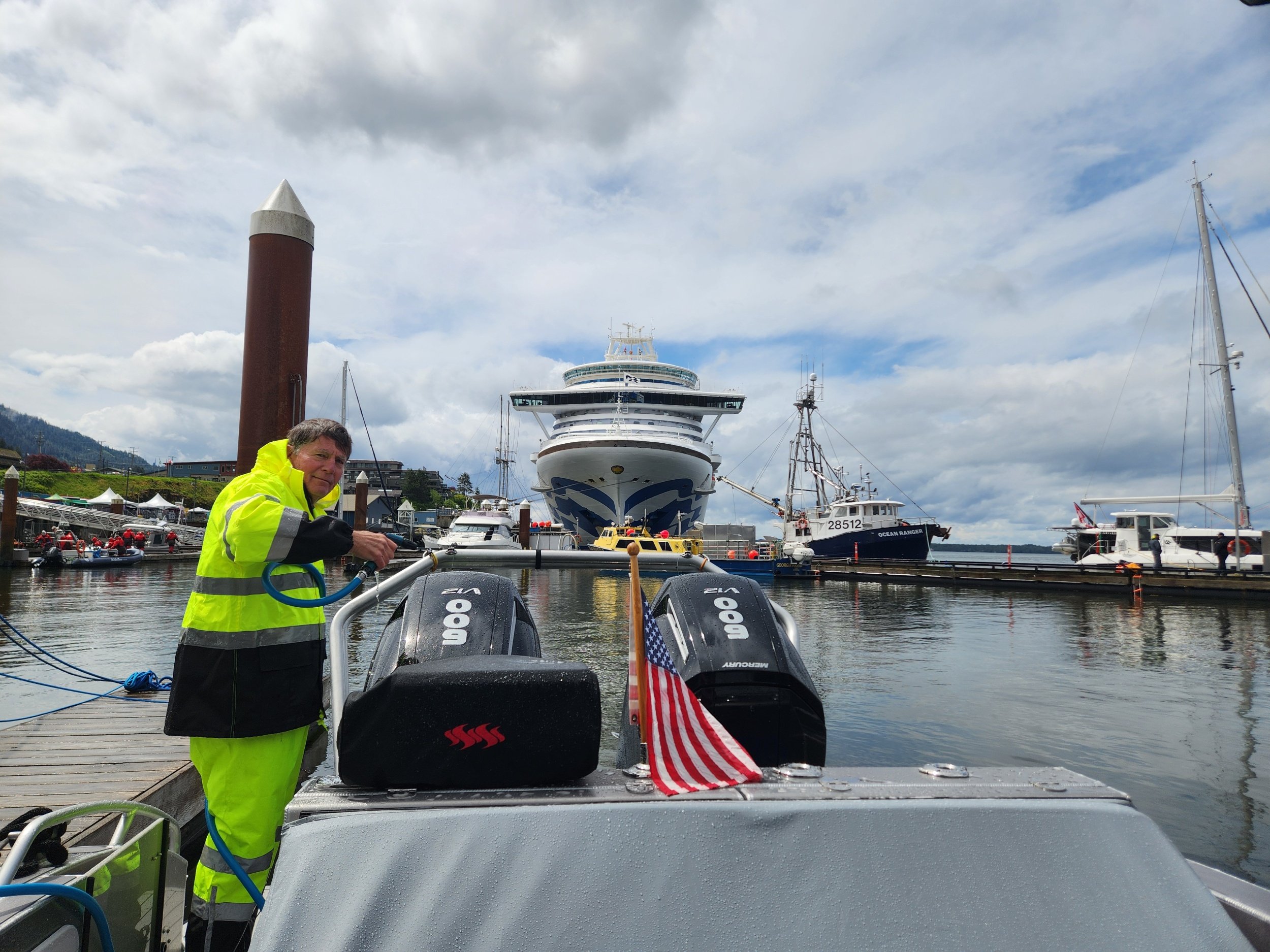
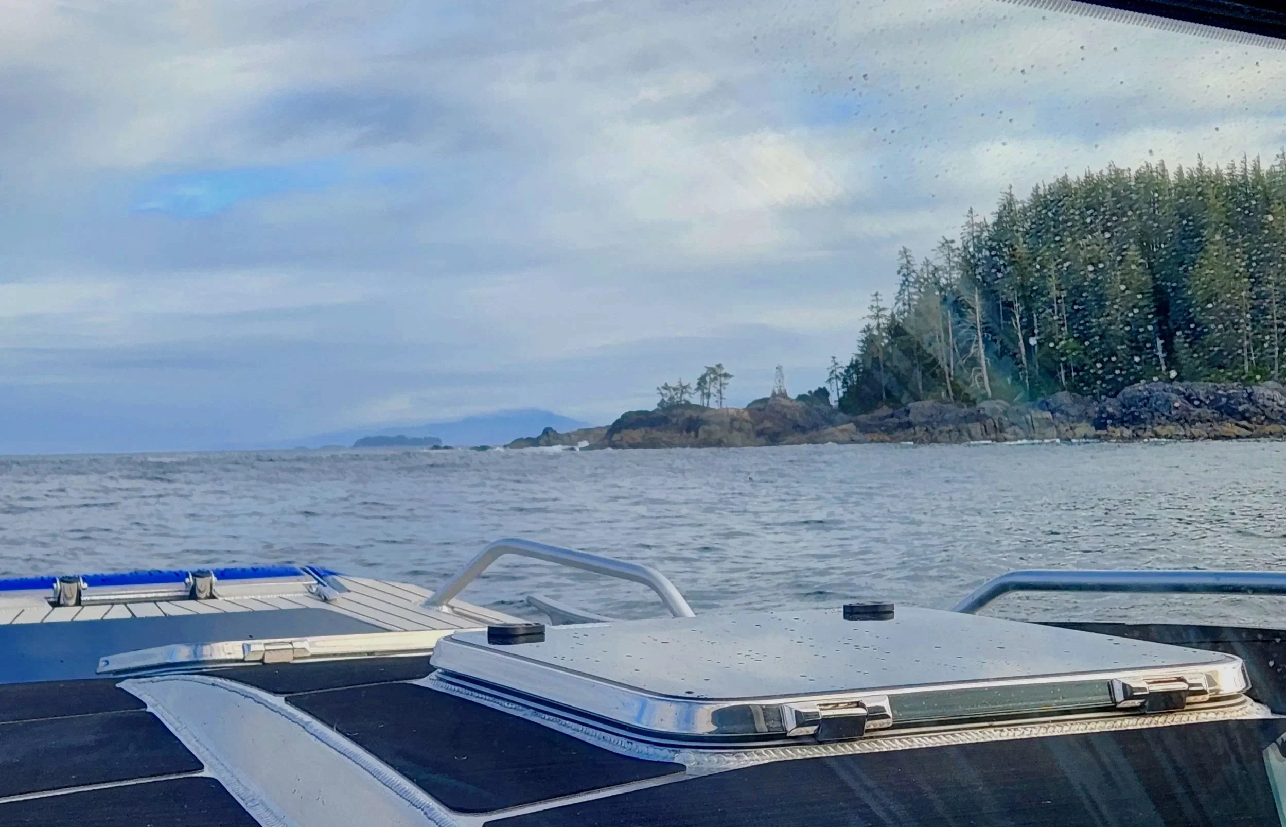
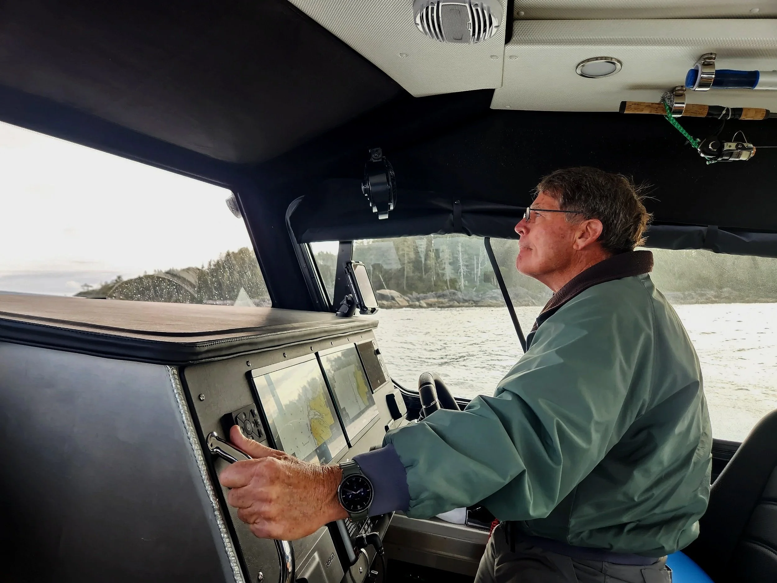
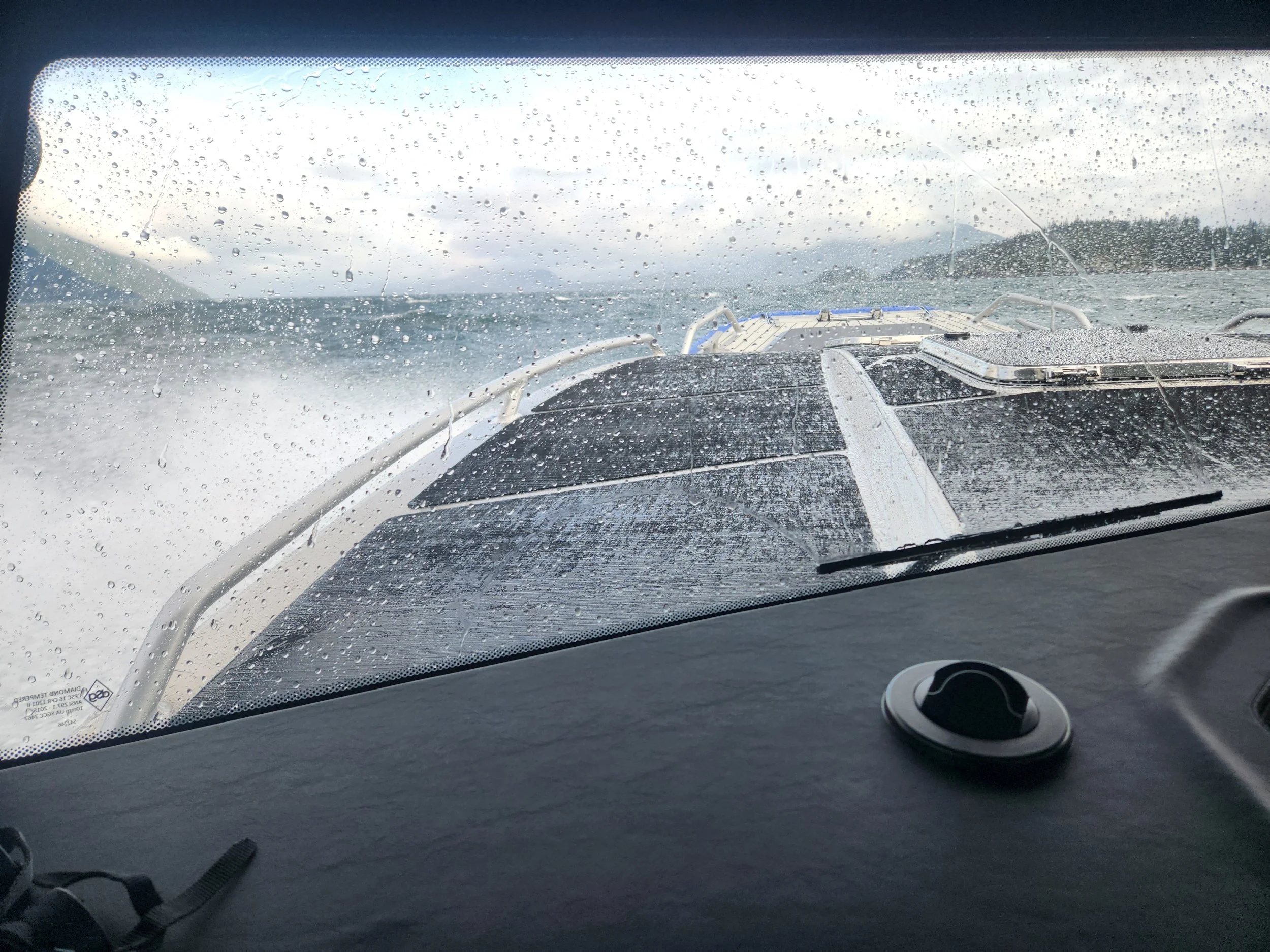
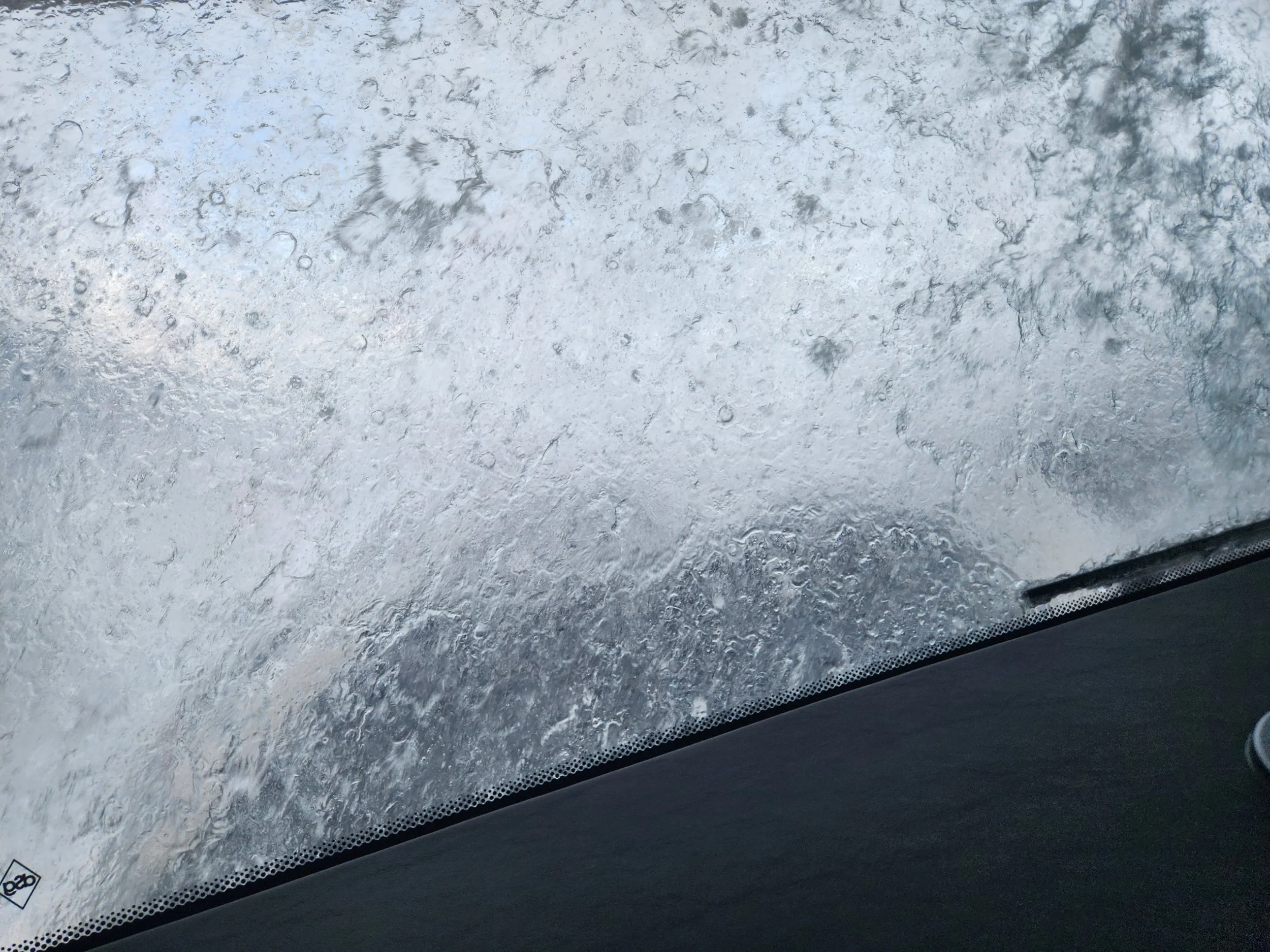
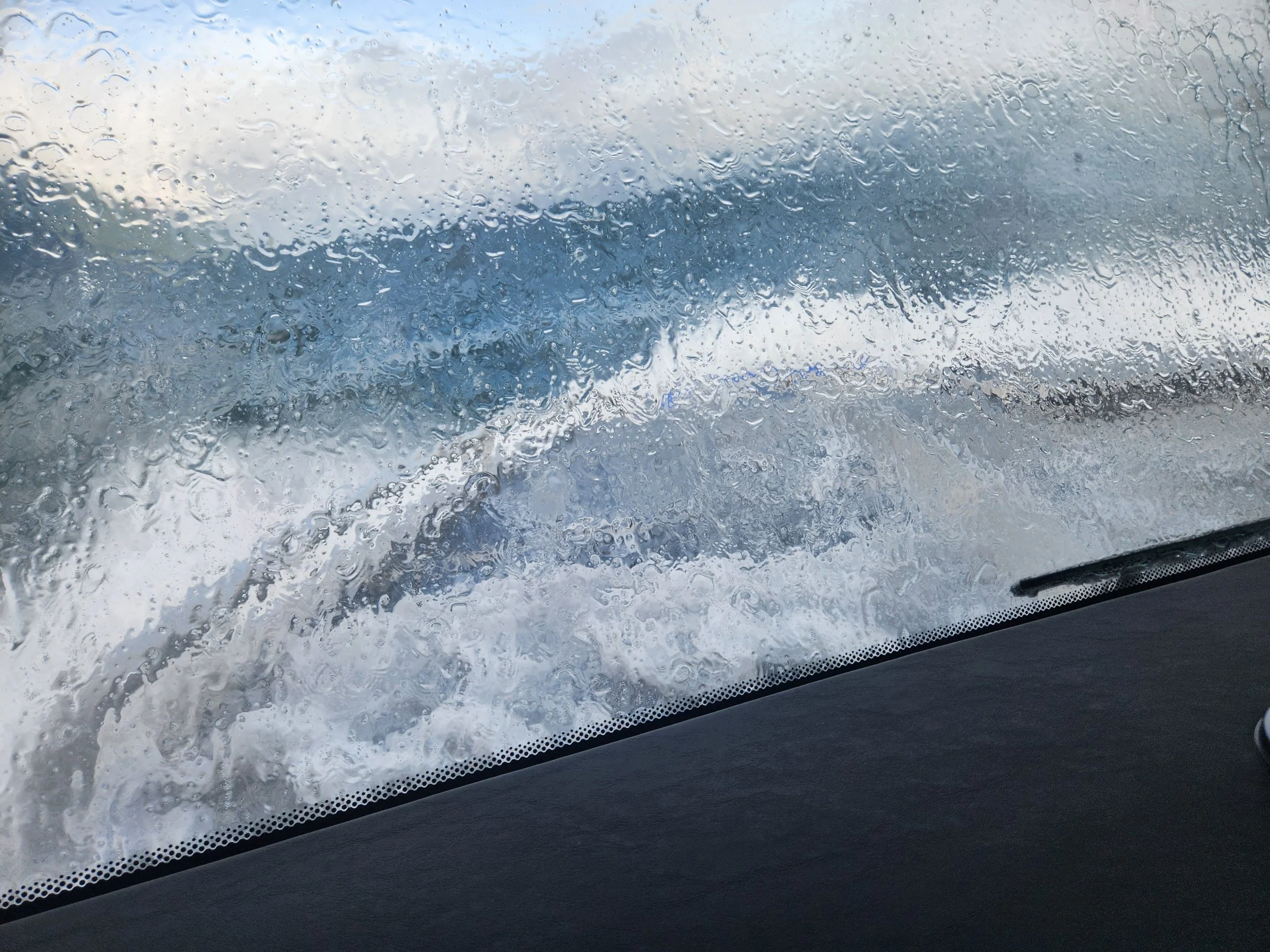
Leaving Ketchikan for Prince Rupert on a sunny day. Crossing Dixon Entrance and the Main Channel with just a bit of chop and a little confused water - bumpy, but the boat can handle it and the Captain is great with the throttle. We are back in Canada and will continue to make our journey Southward over the next few weeks.
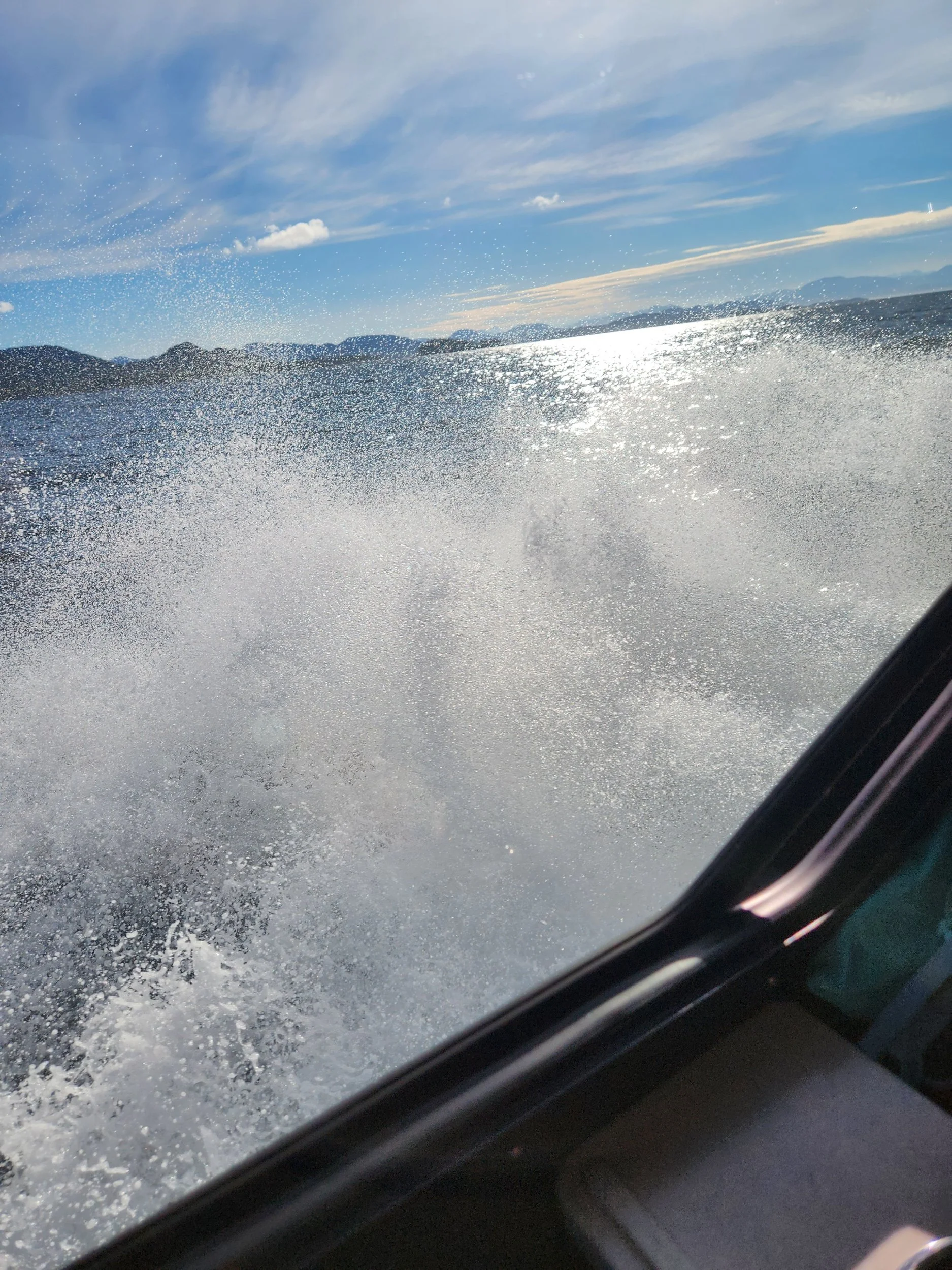
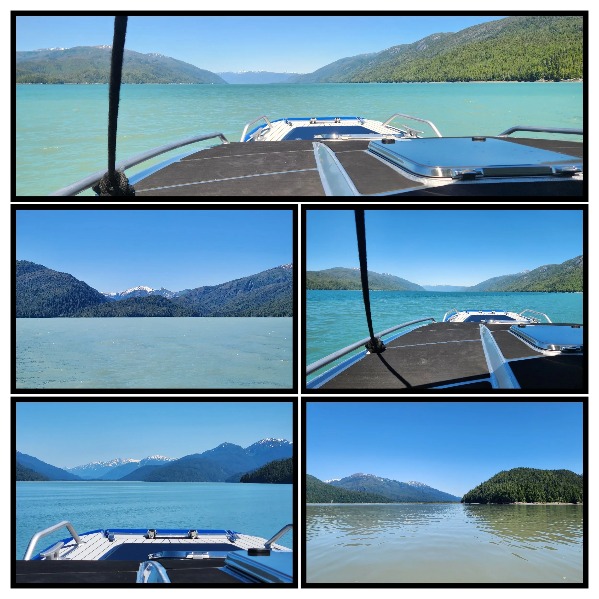
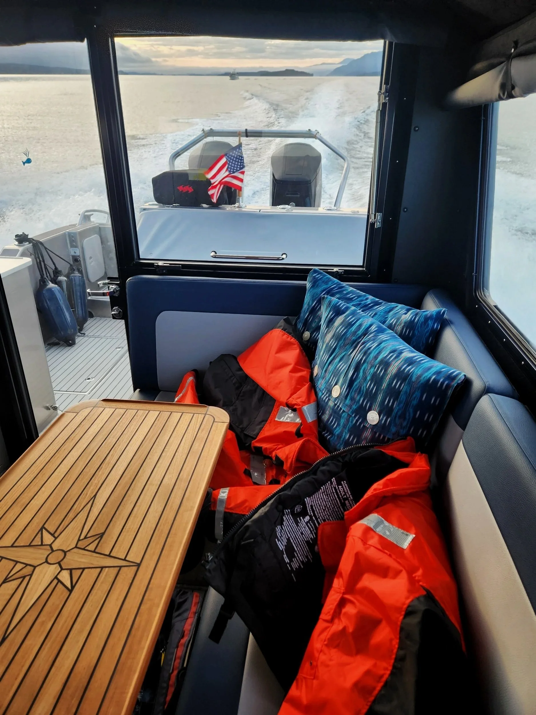
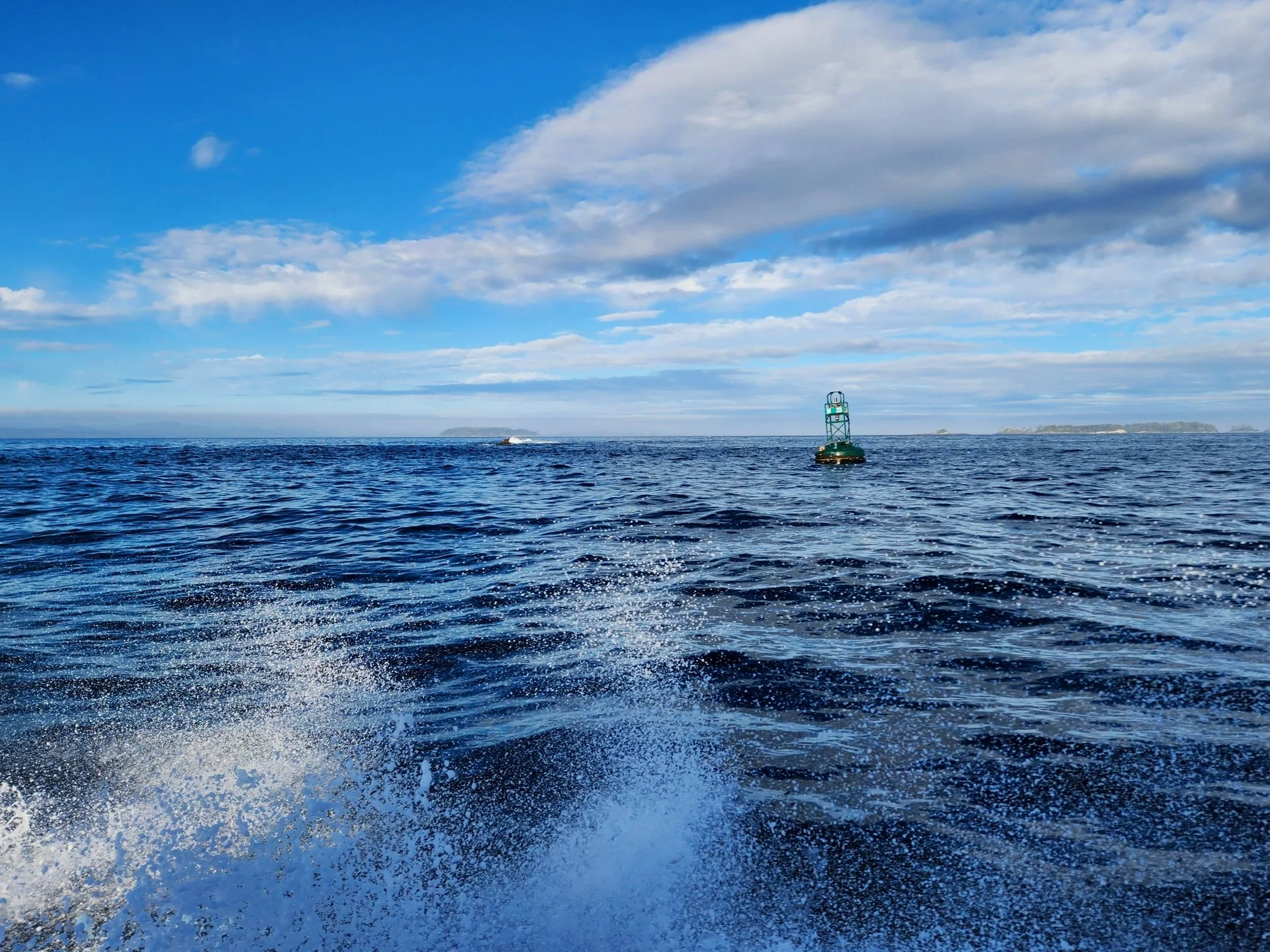
Splashing through the Main Channel toward the Dixon Entrance Southbound toward Prince Rupert
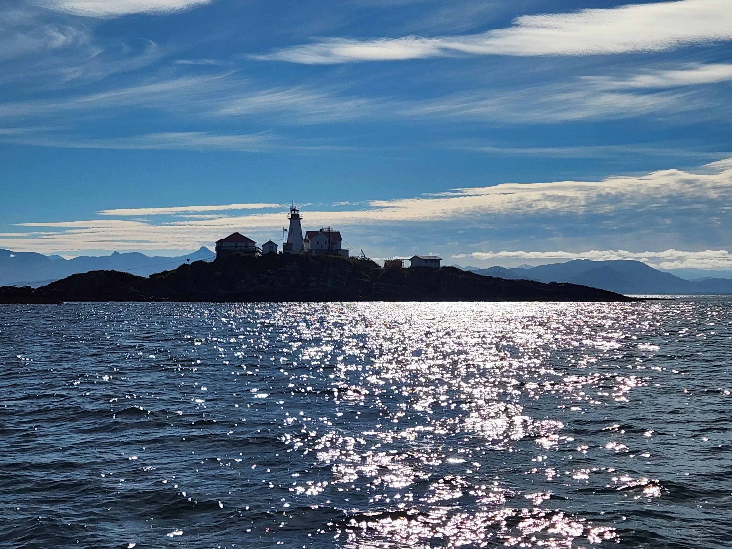
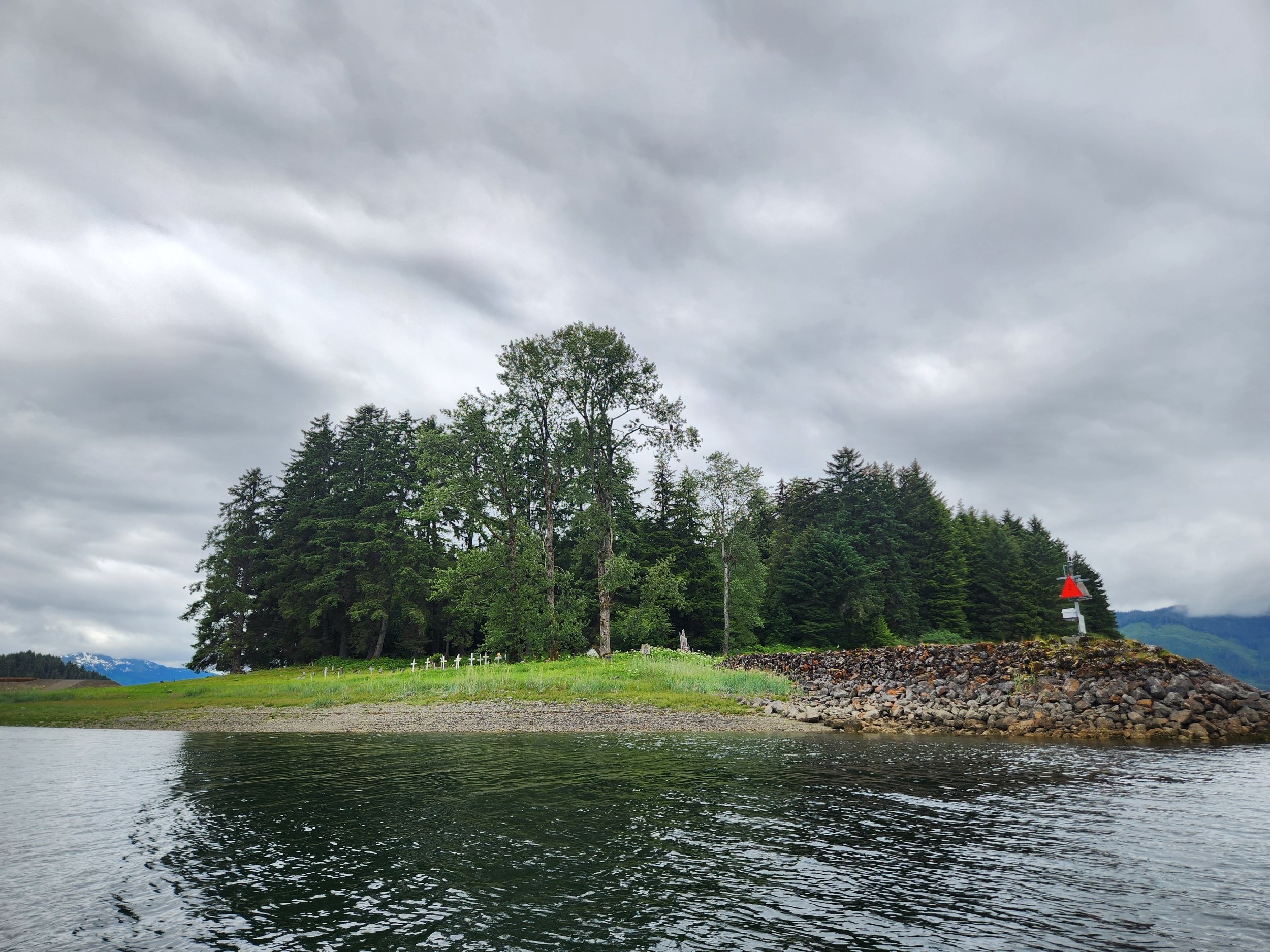
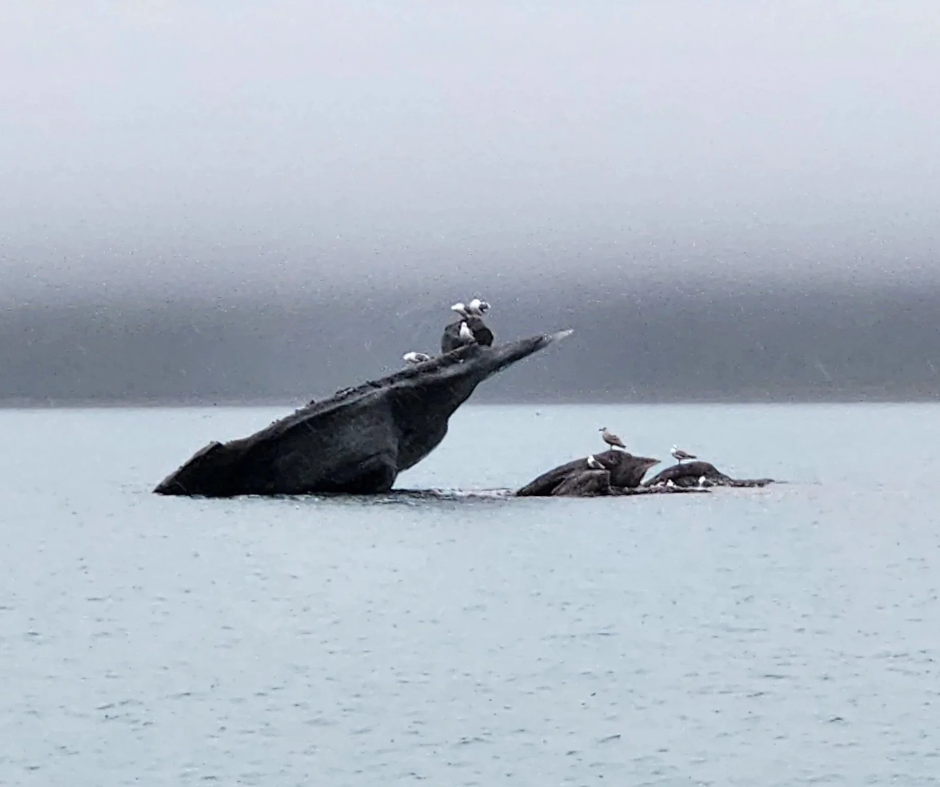
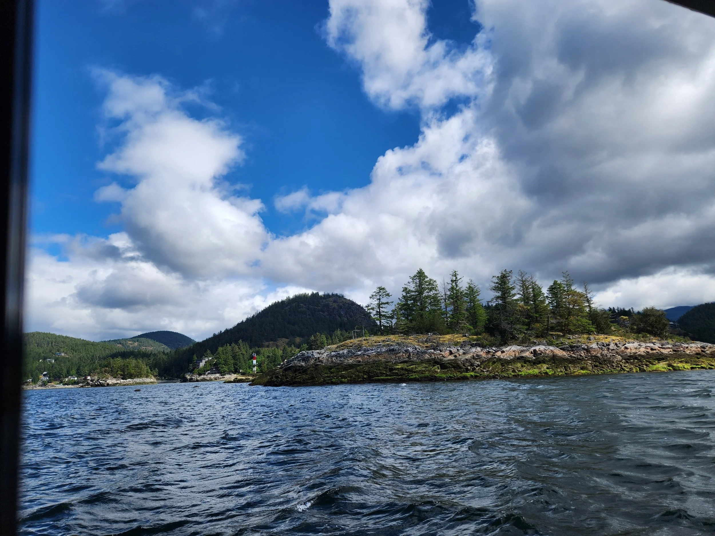
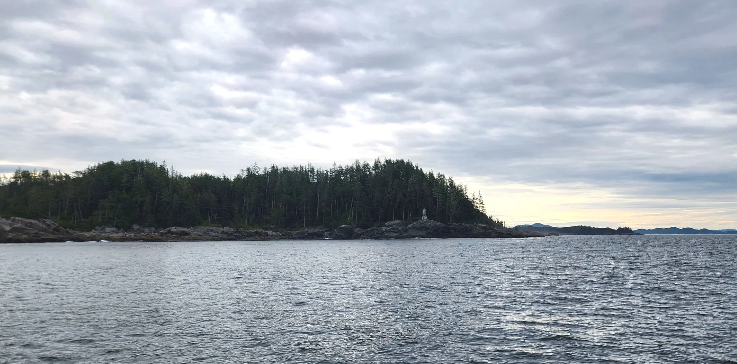
Green Island Lighthouse off of Dundas Island
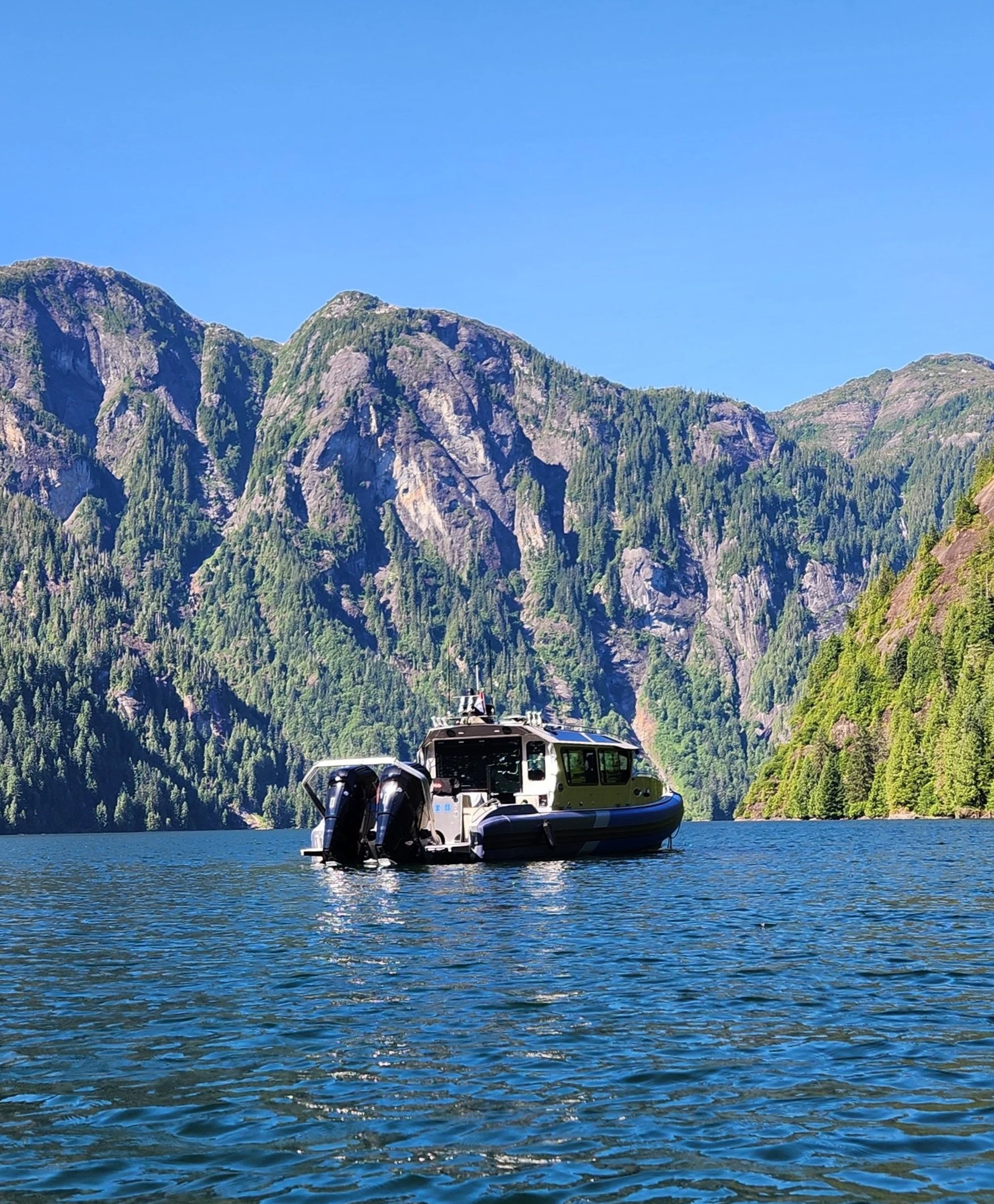
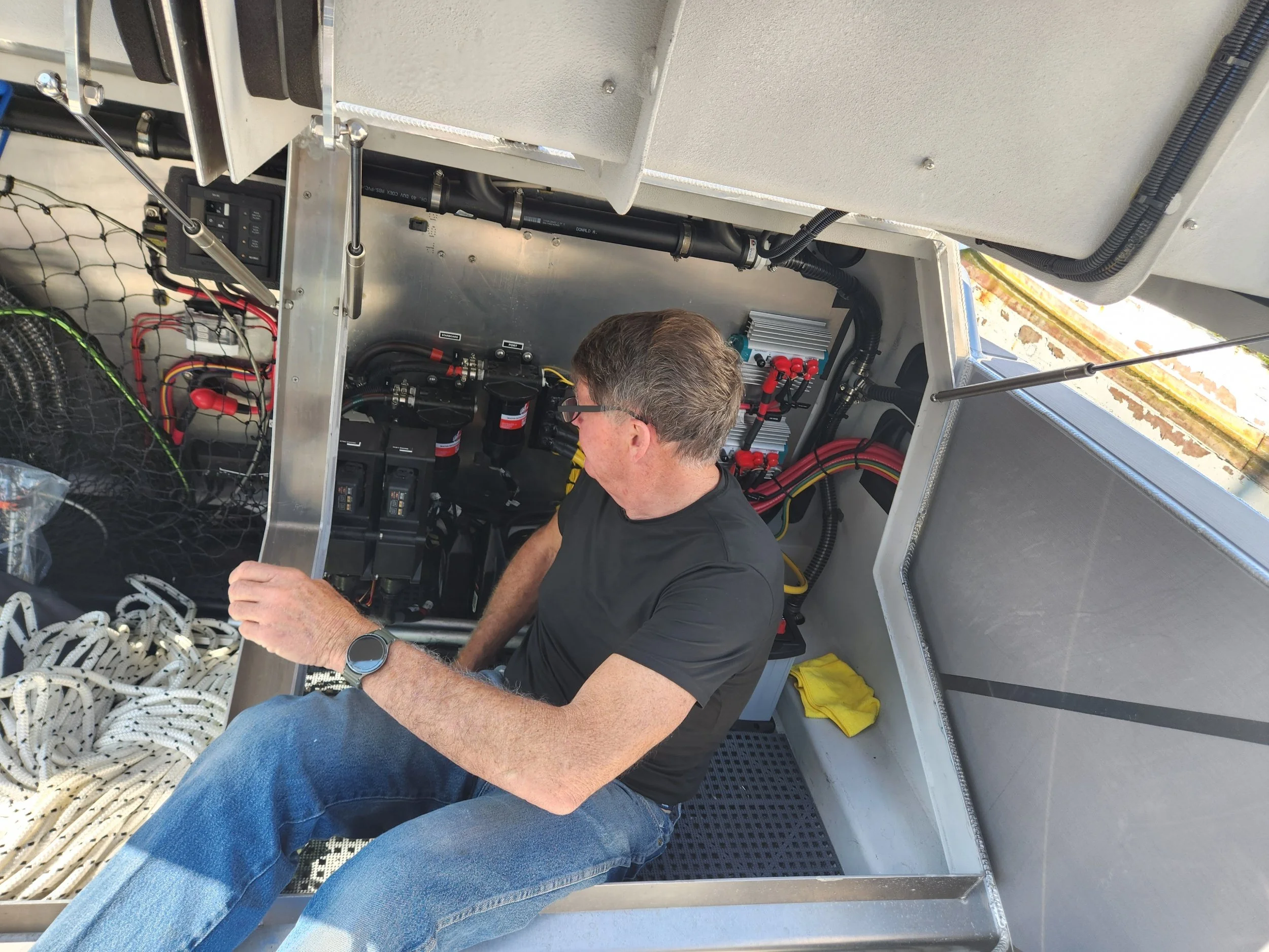
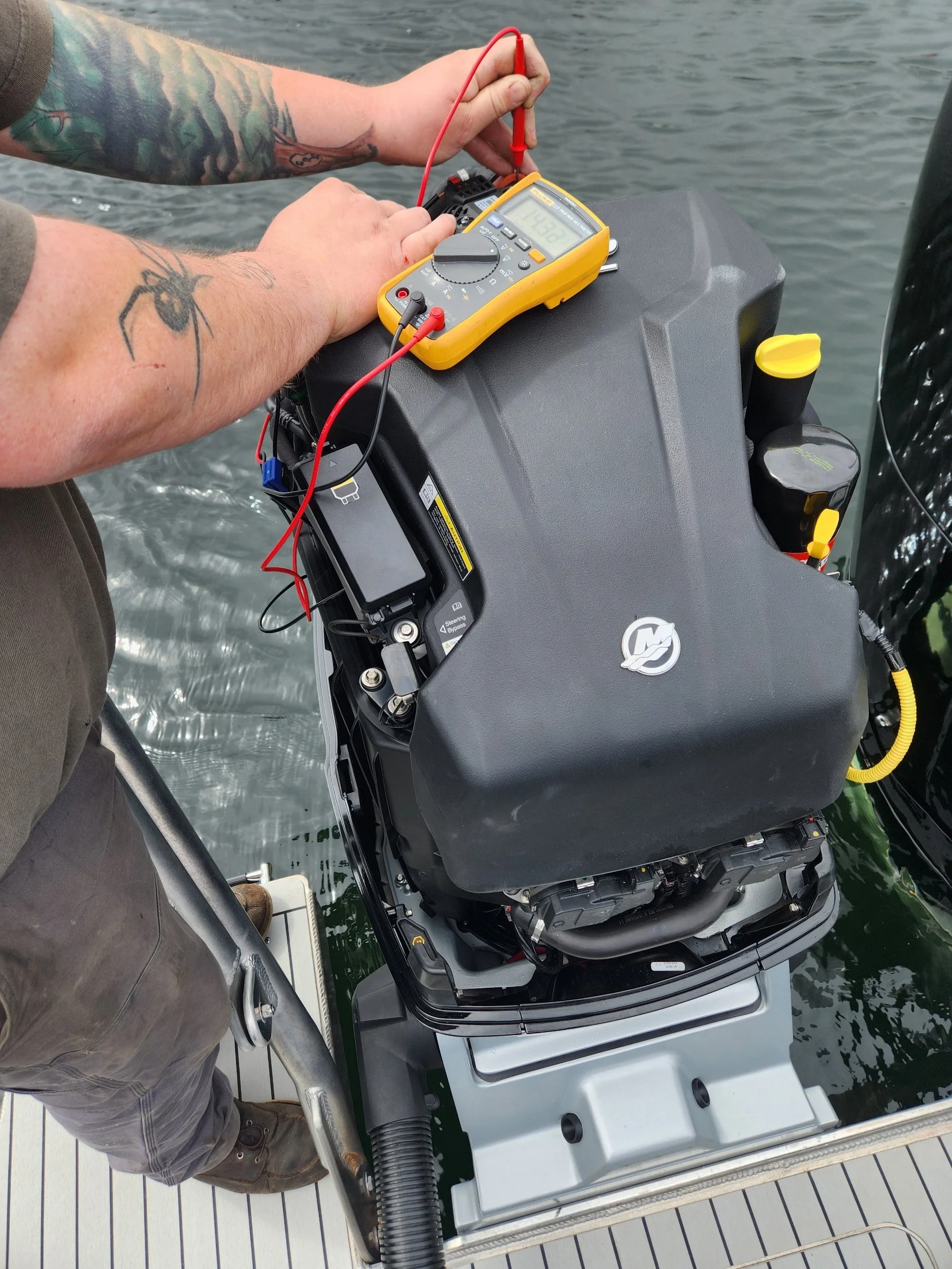
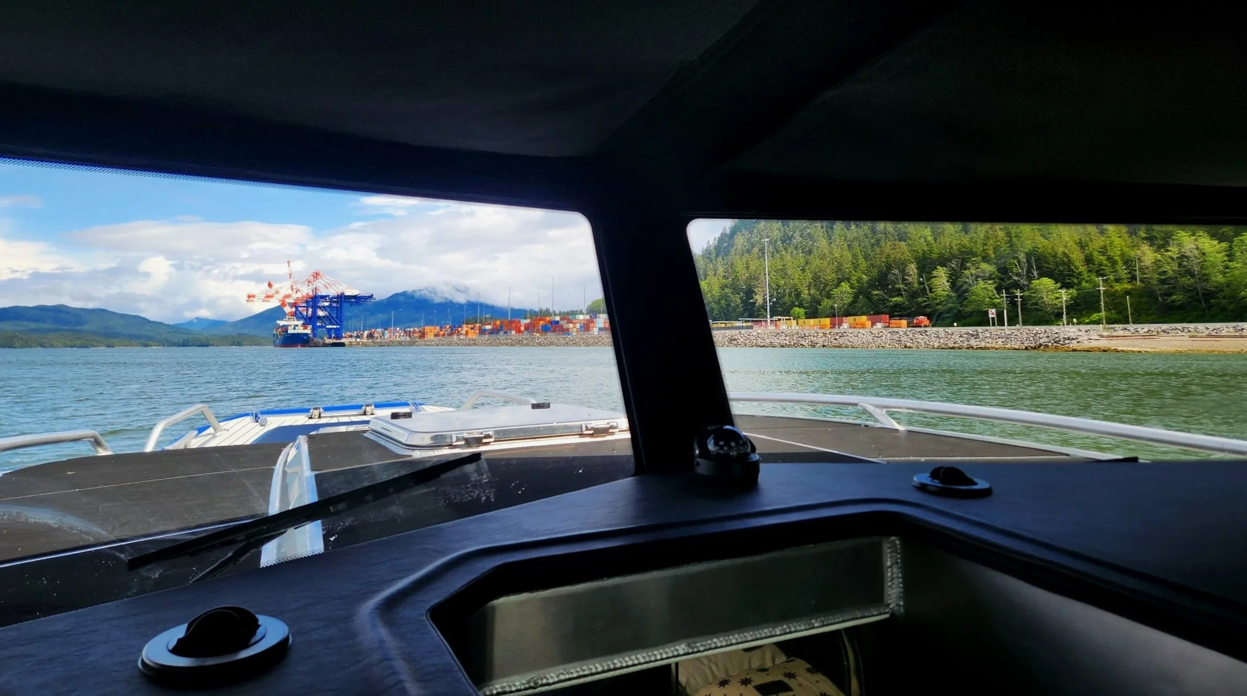
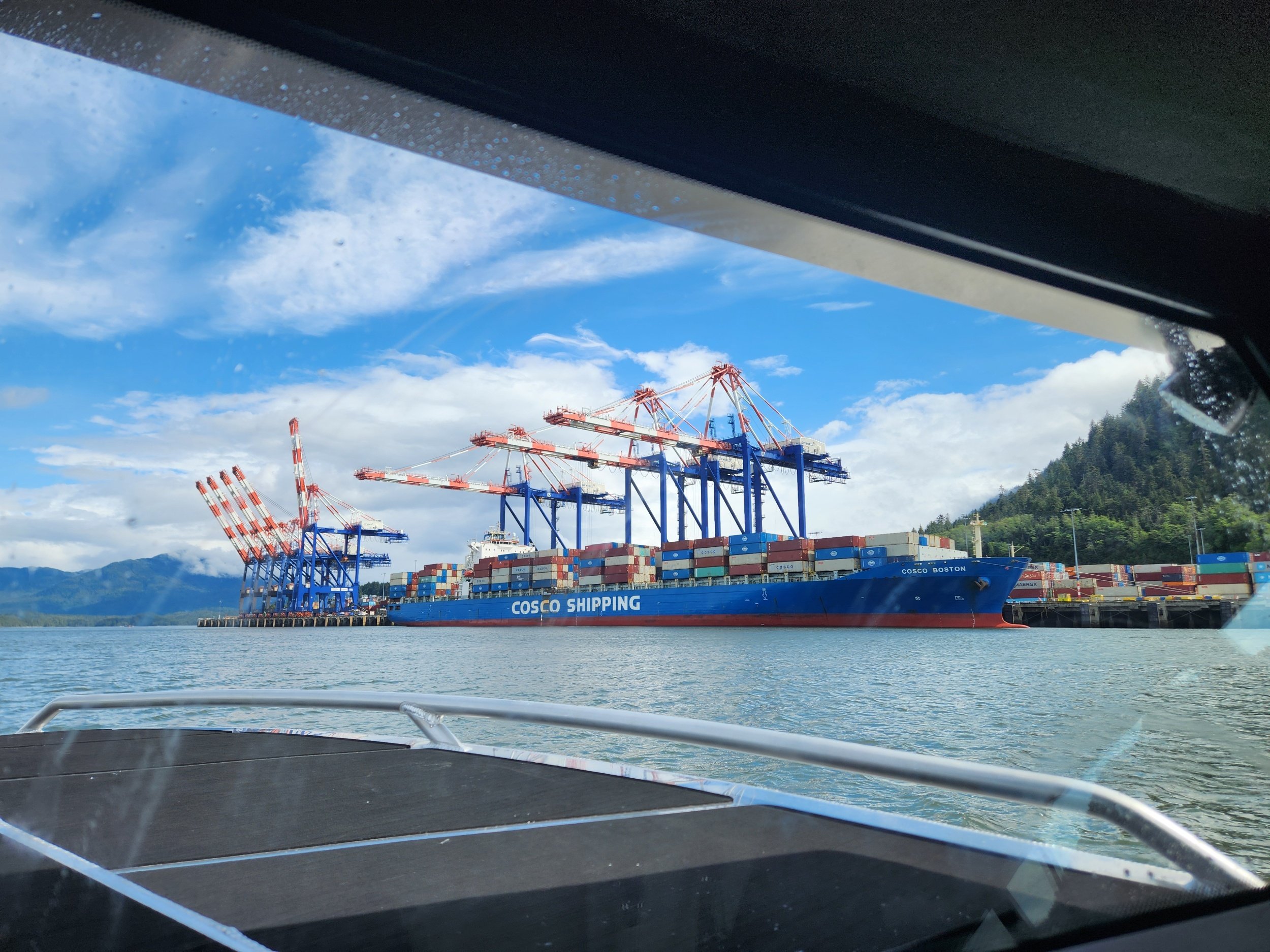
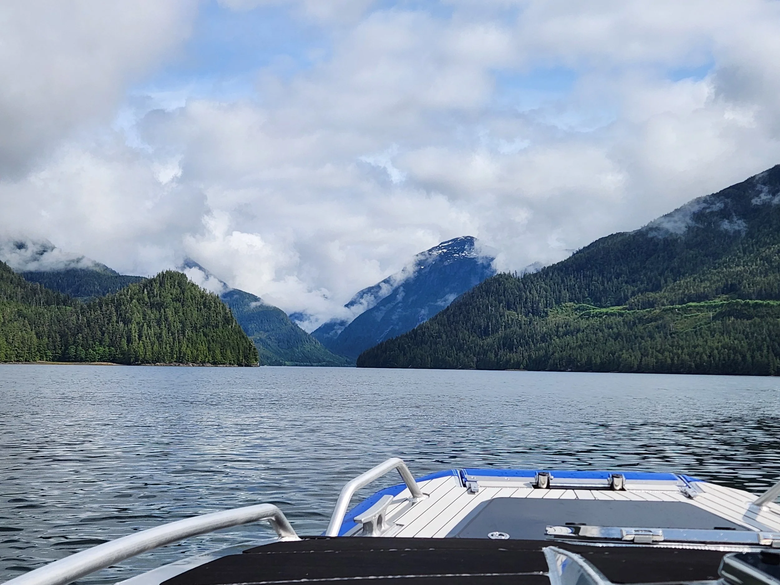
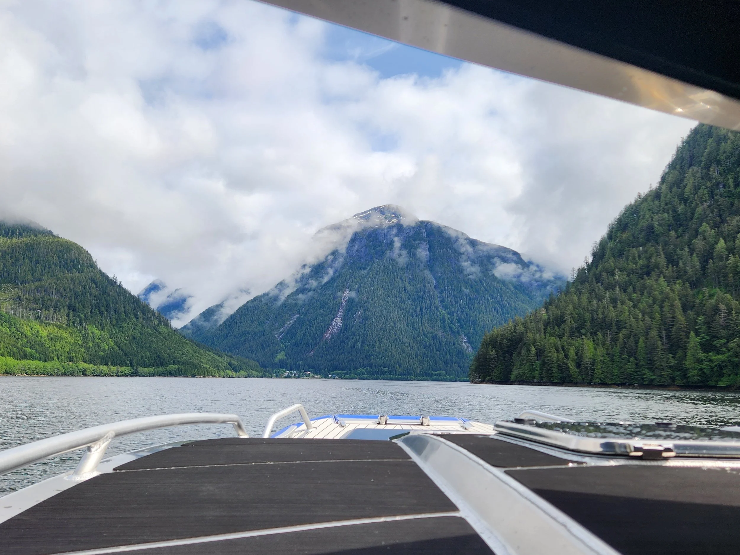
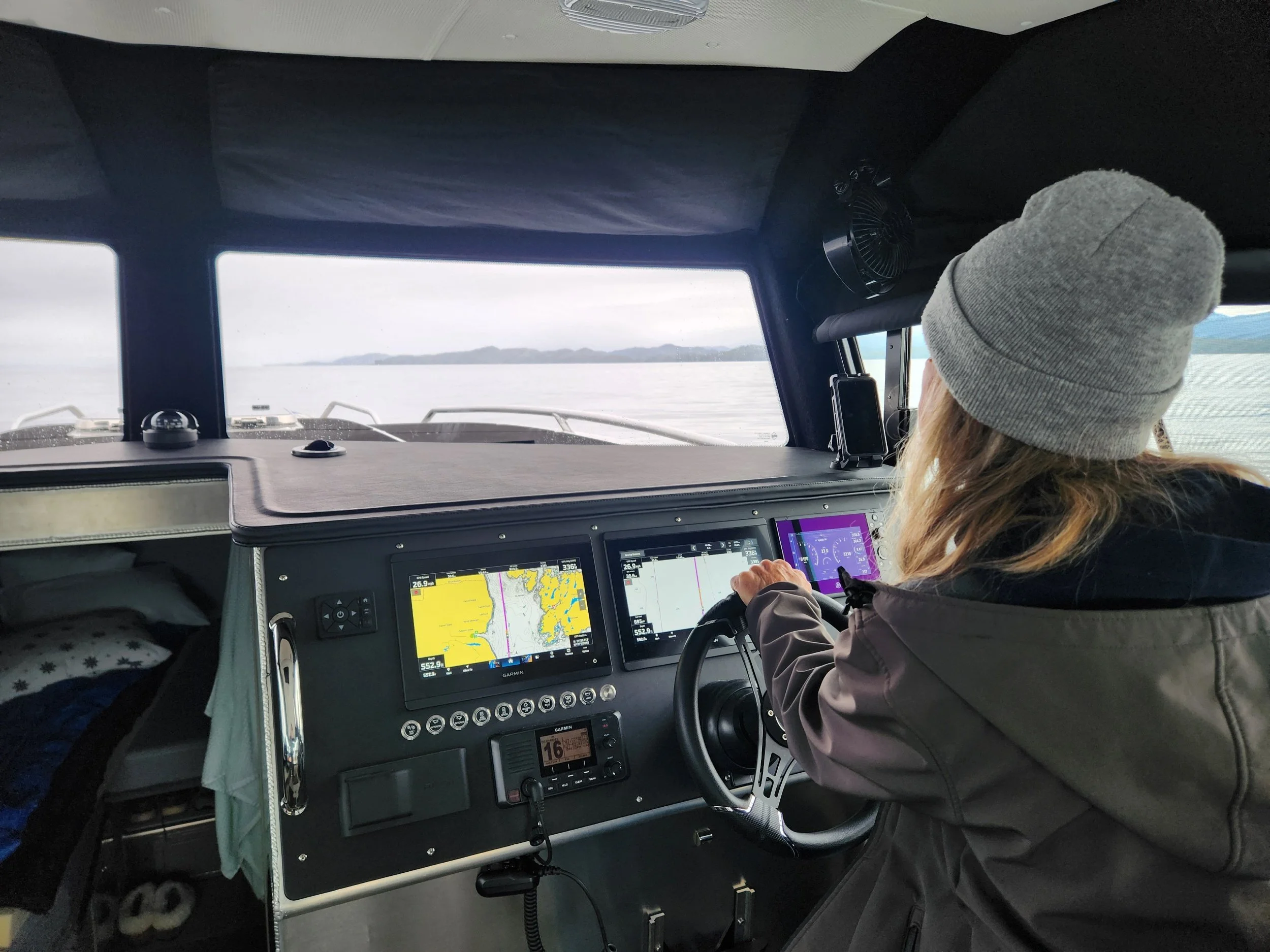
Taking the shortcut to Prince Rupert…glad our transducer is working and our chart plotter…shallow and tricky at times.
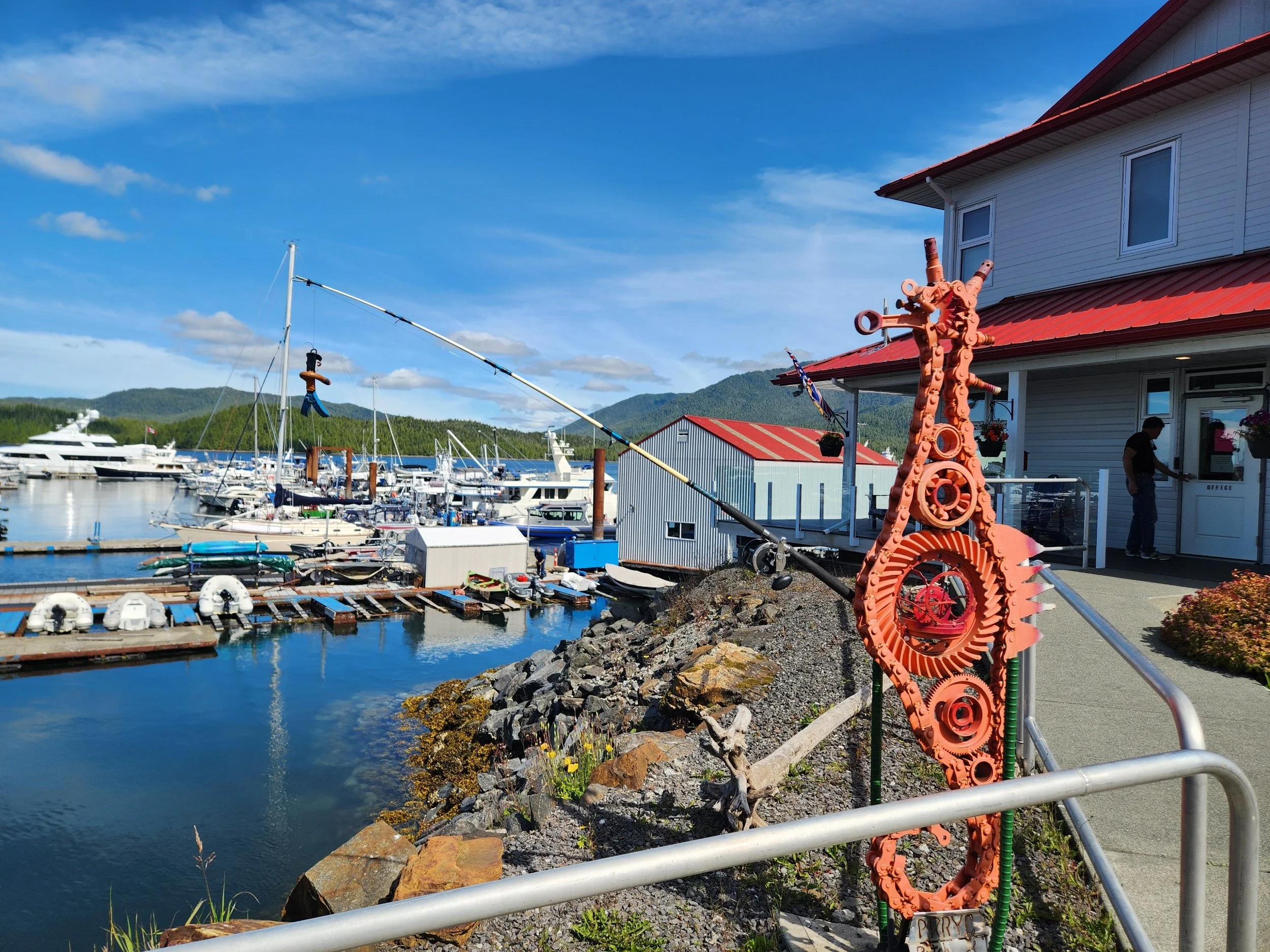
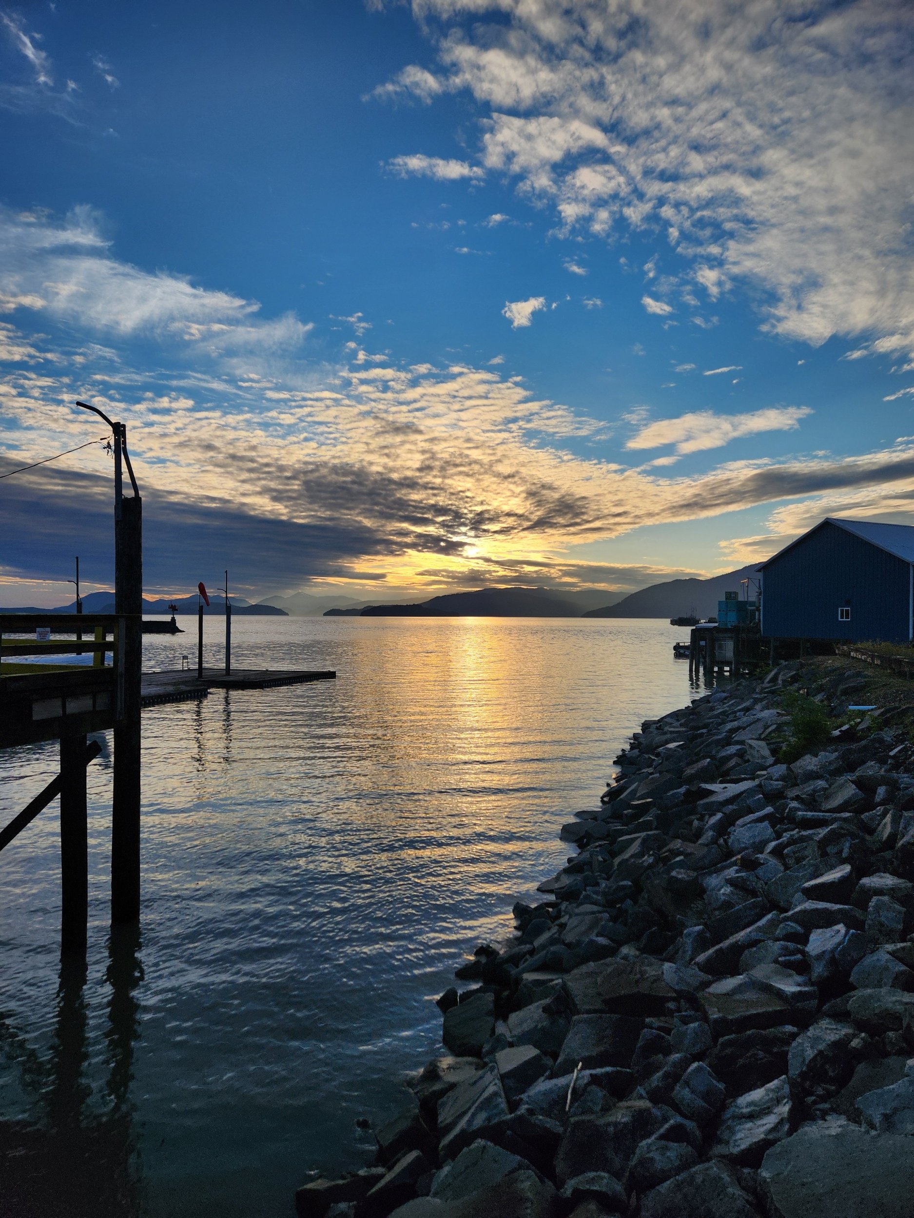
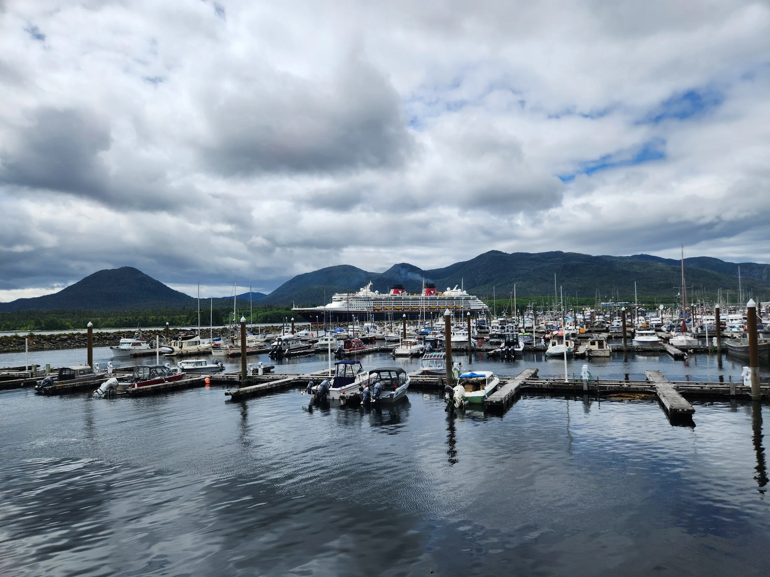
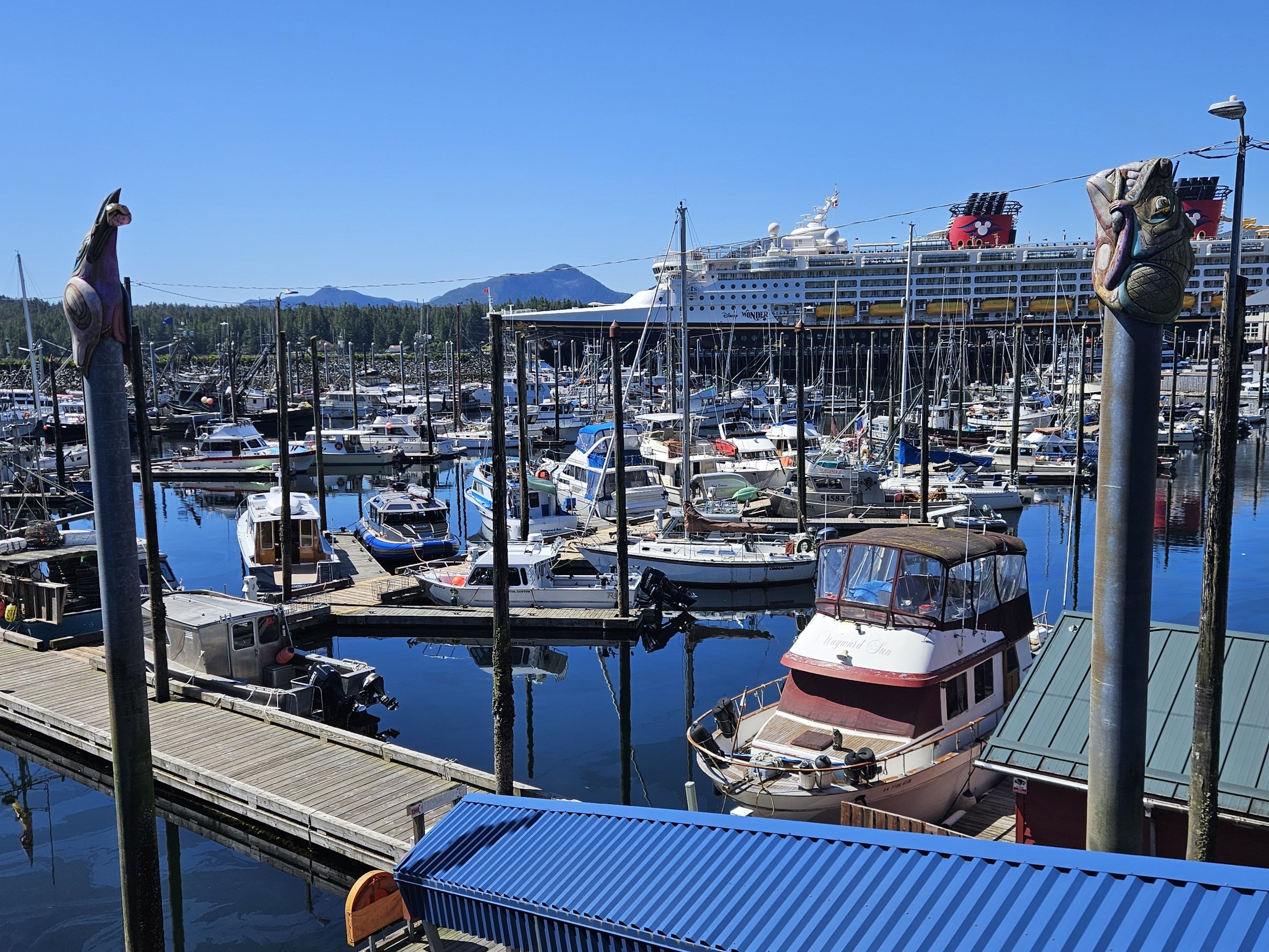
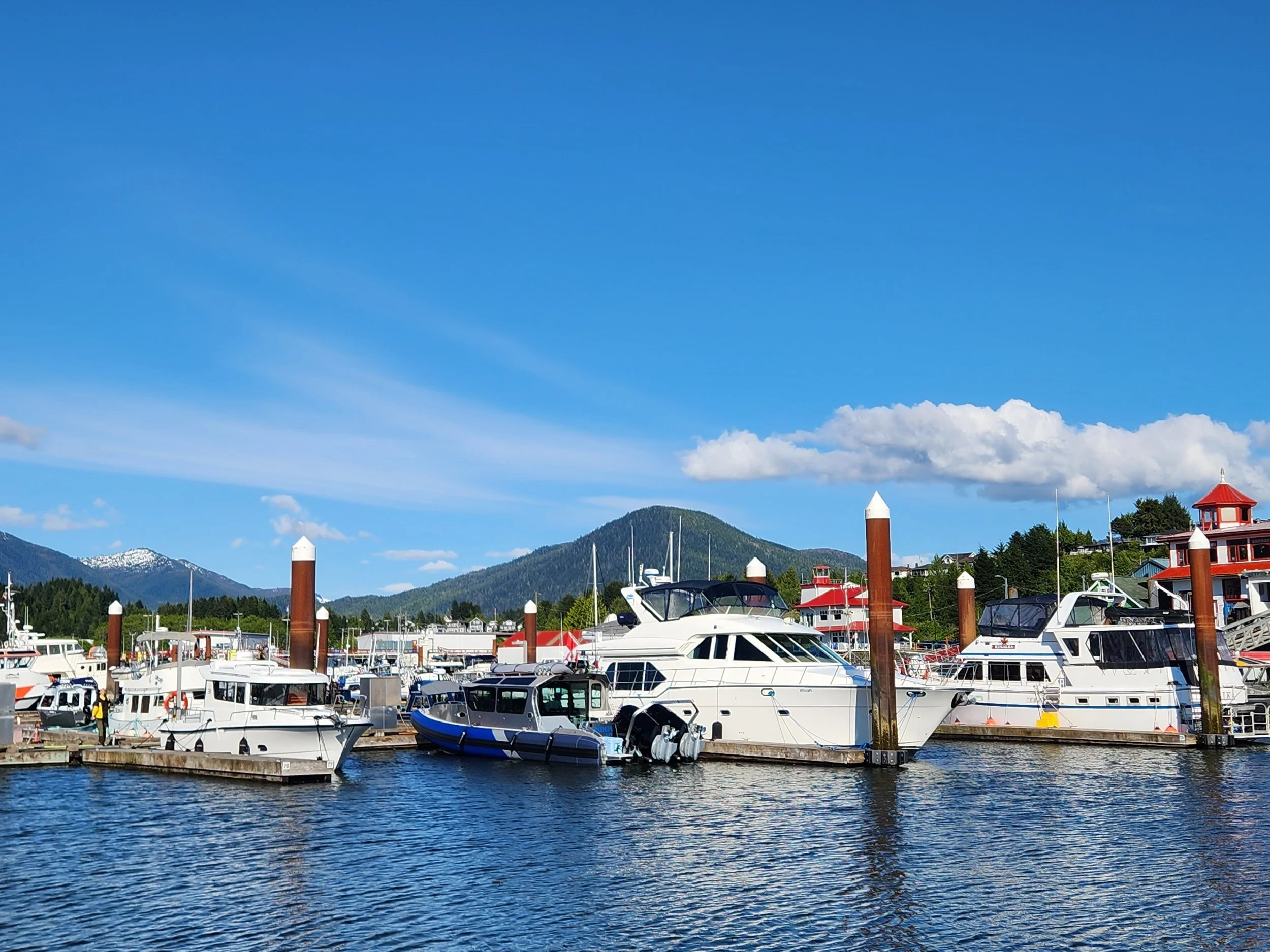
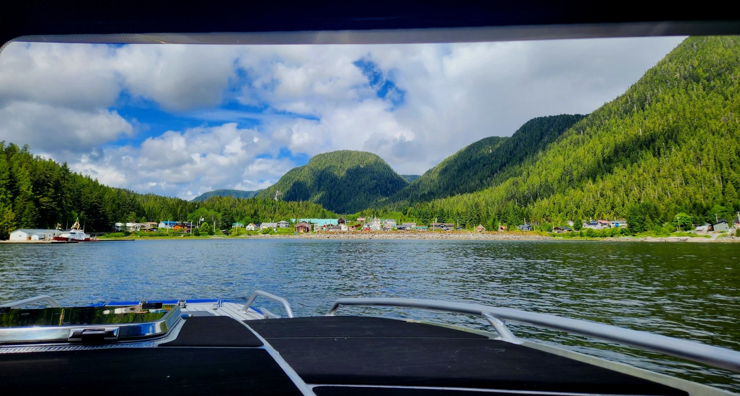
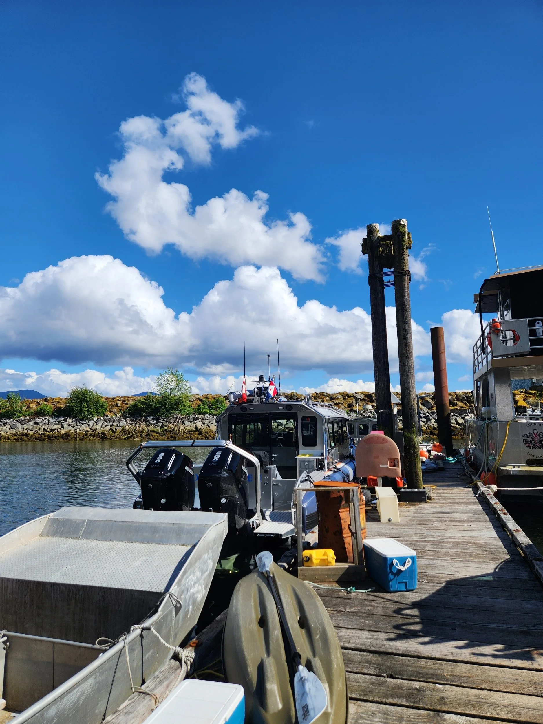
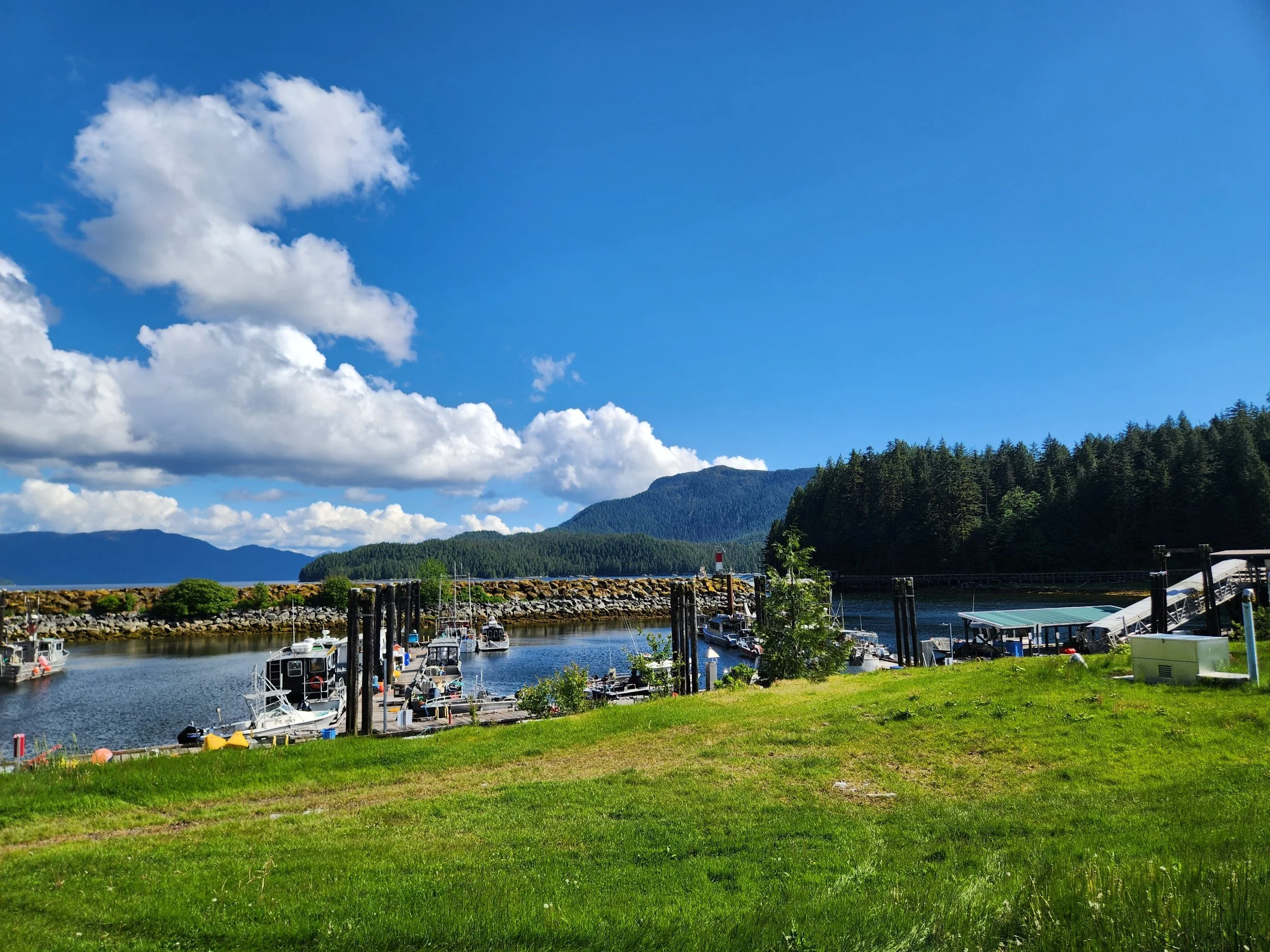
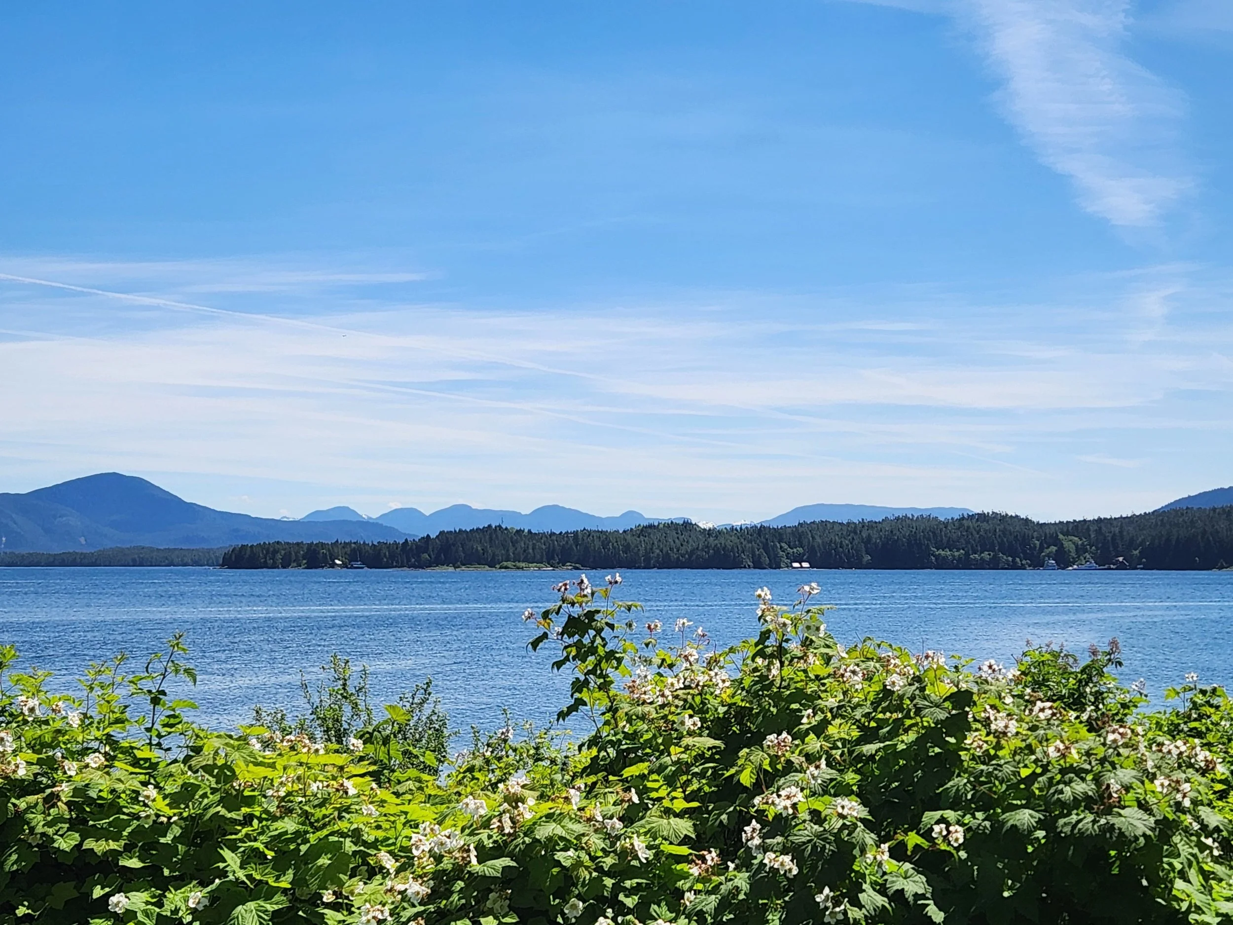
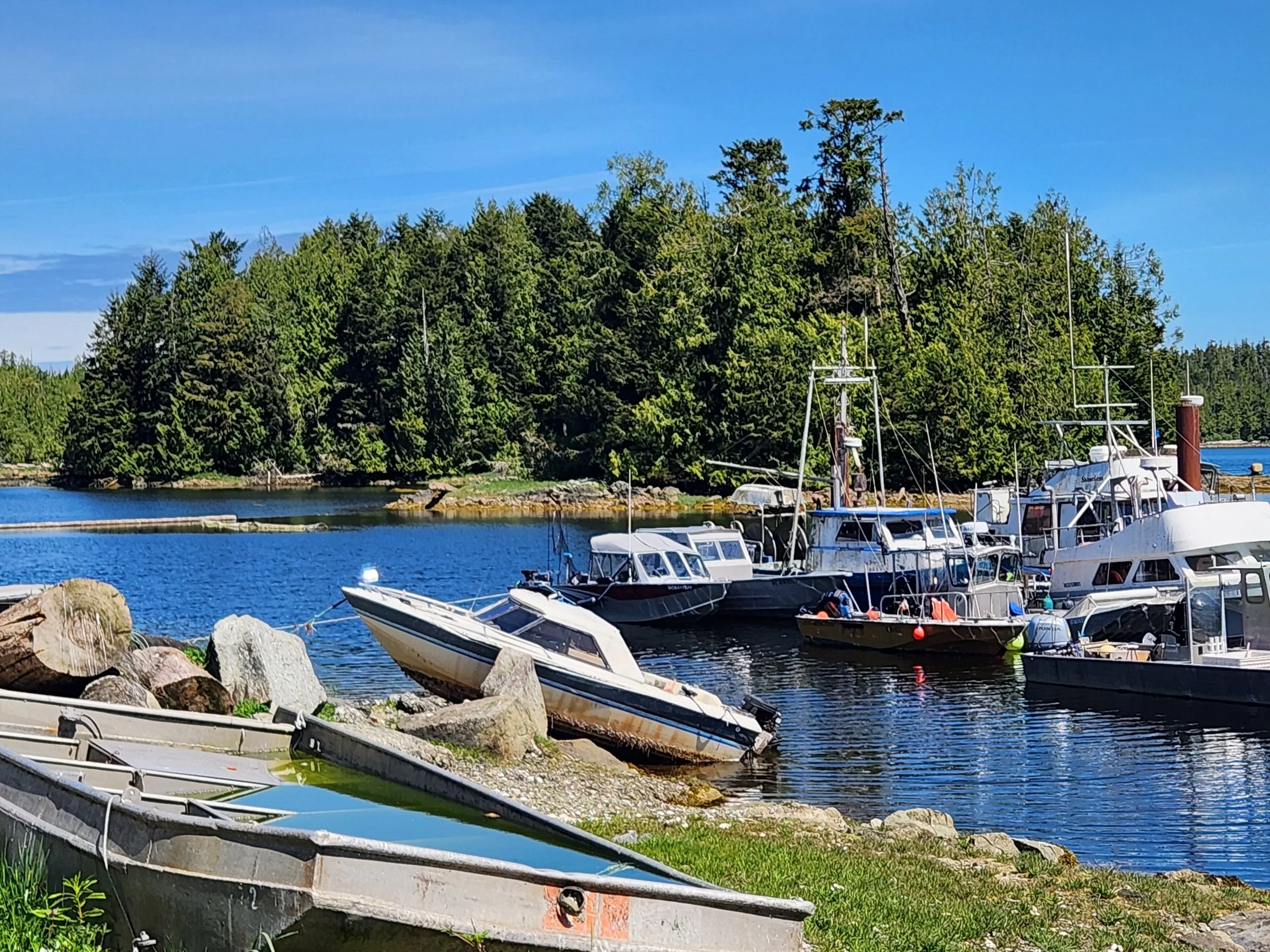
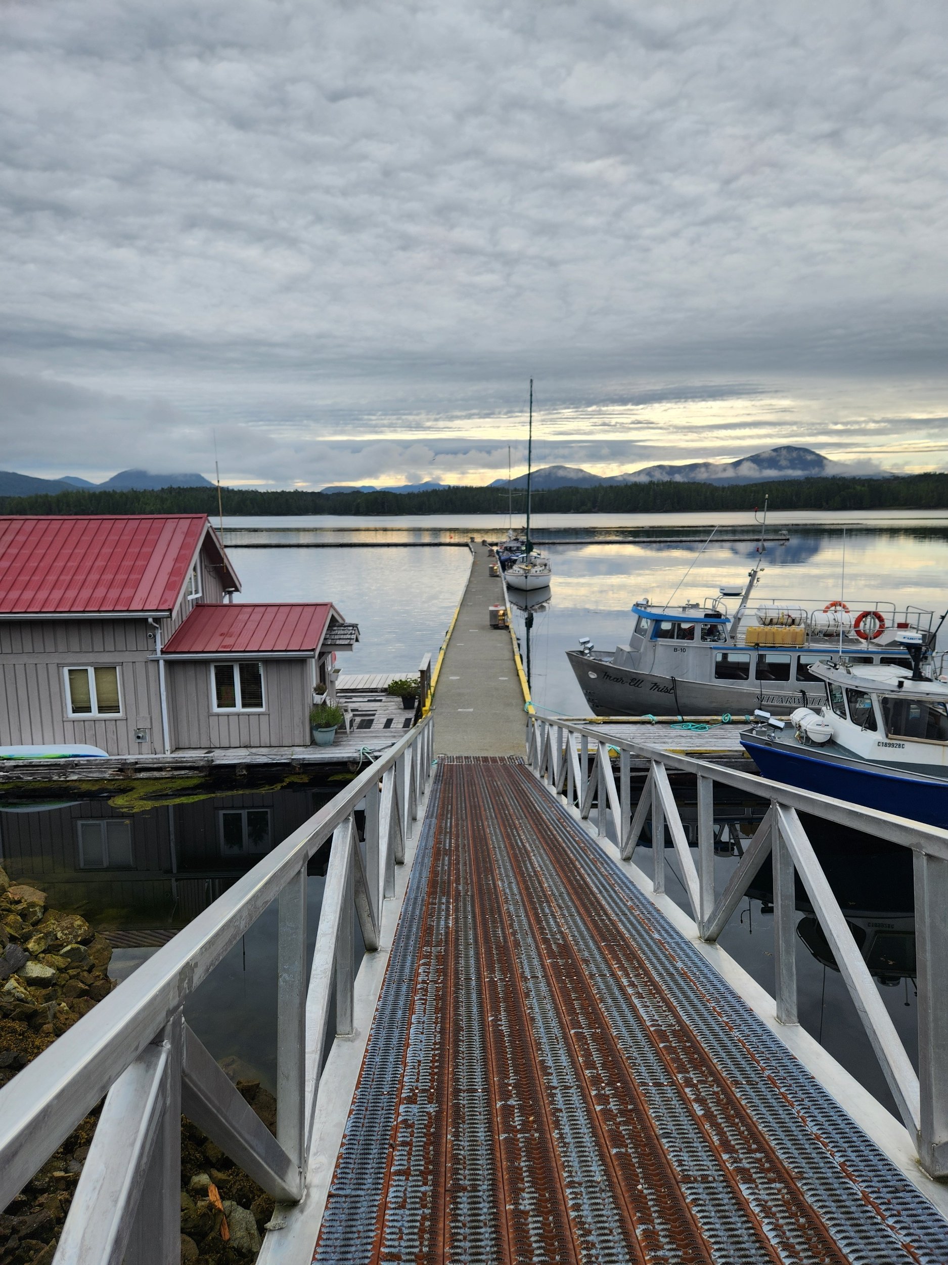
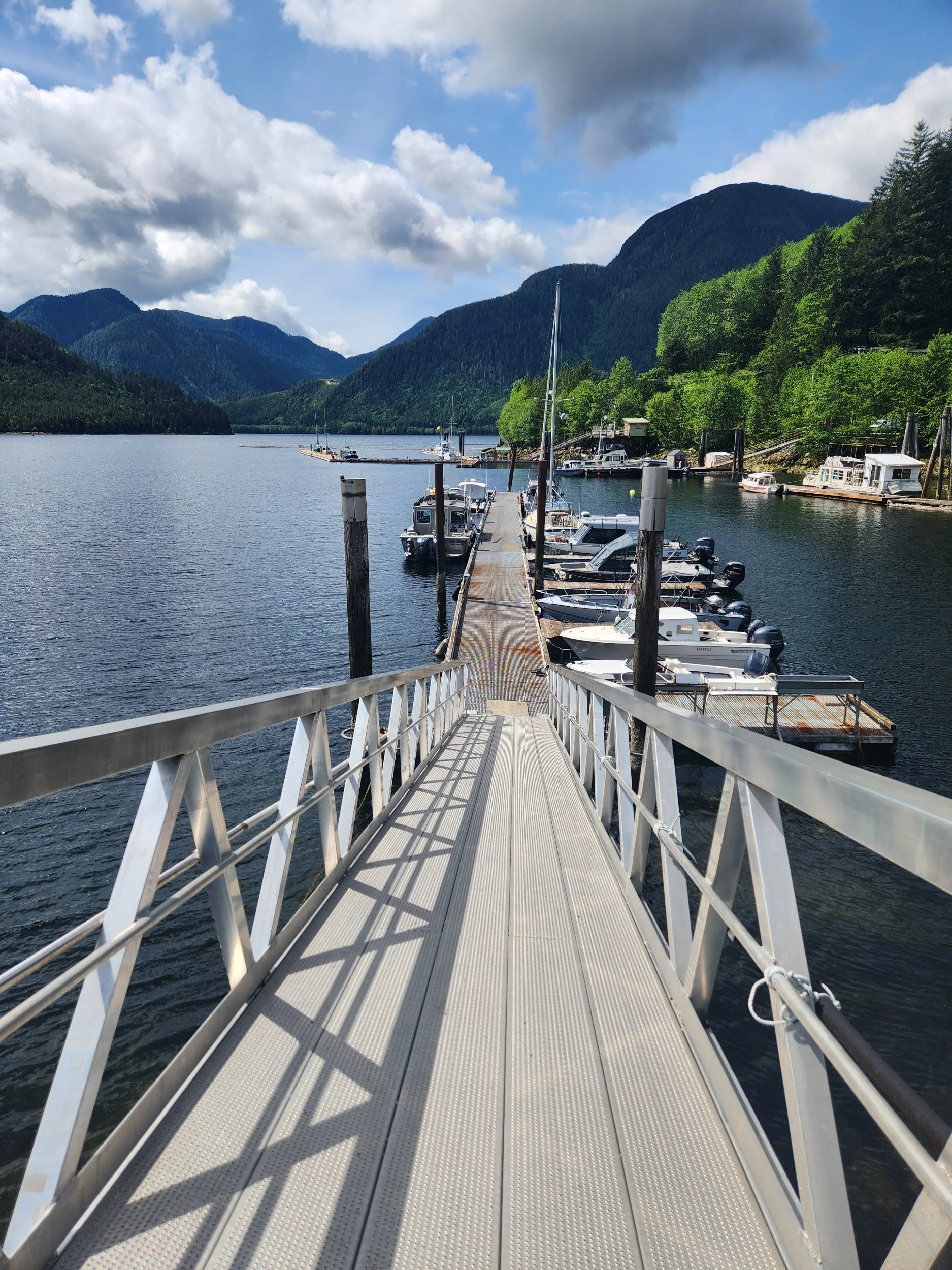
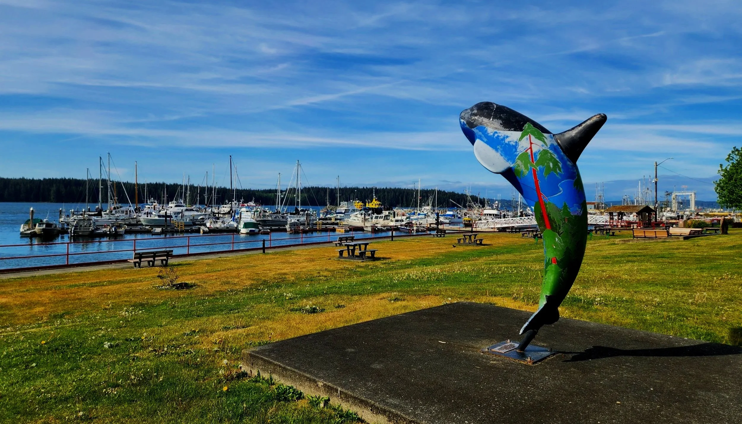
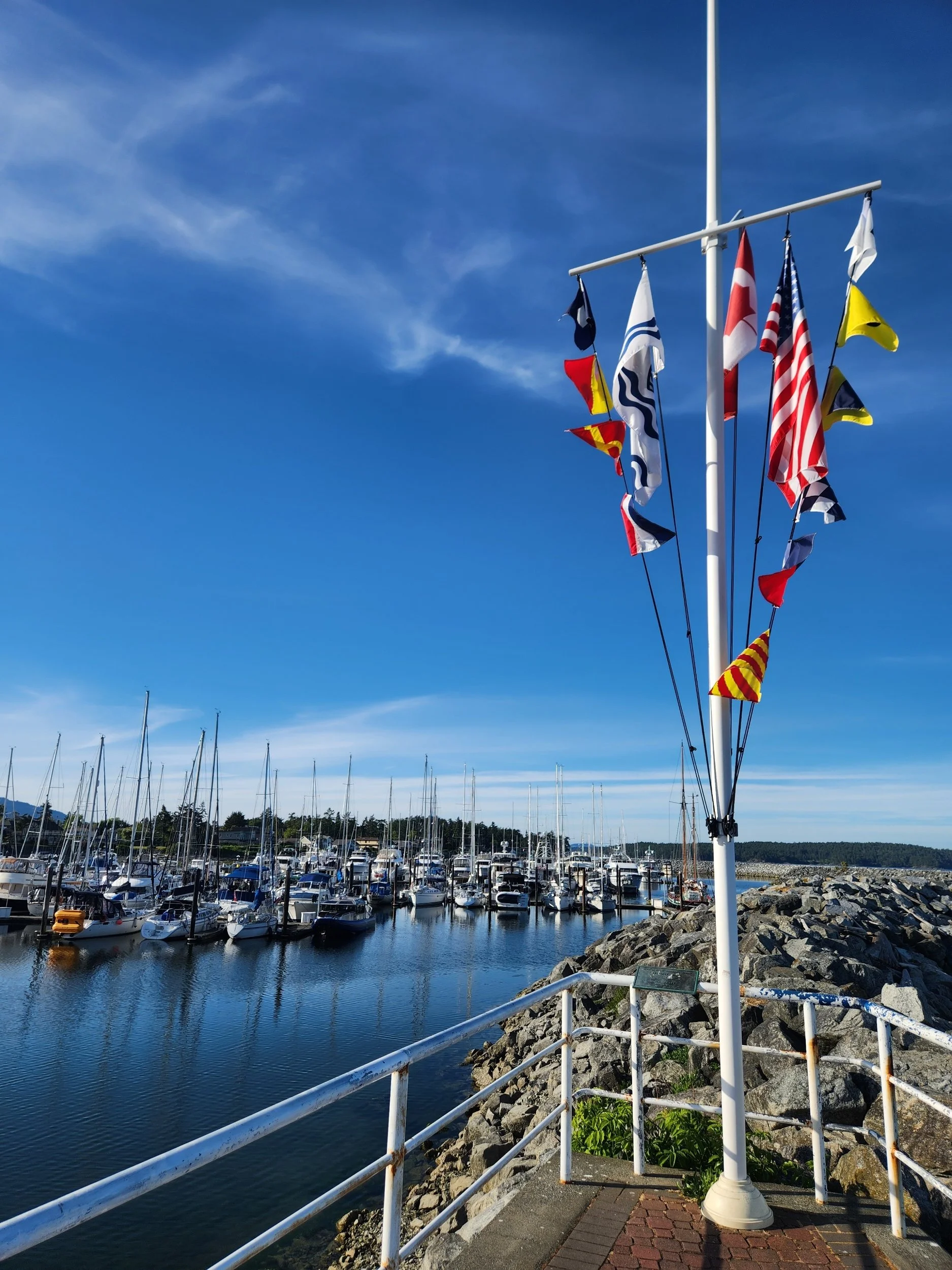
The Prince Rupert Rowing and Yacht Club. Perhaps Cow Bay would have been better…this marina is VERY unprotected, especially by the fuel dock.
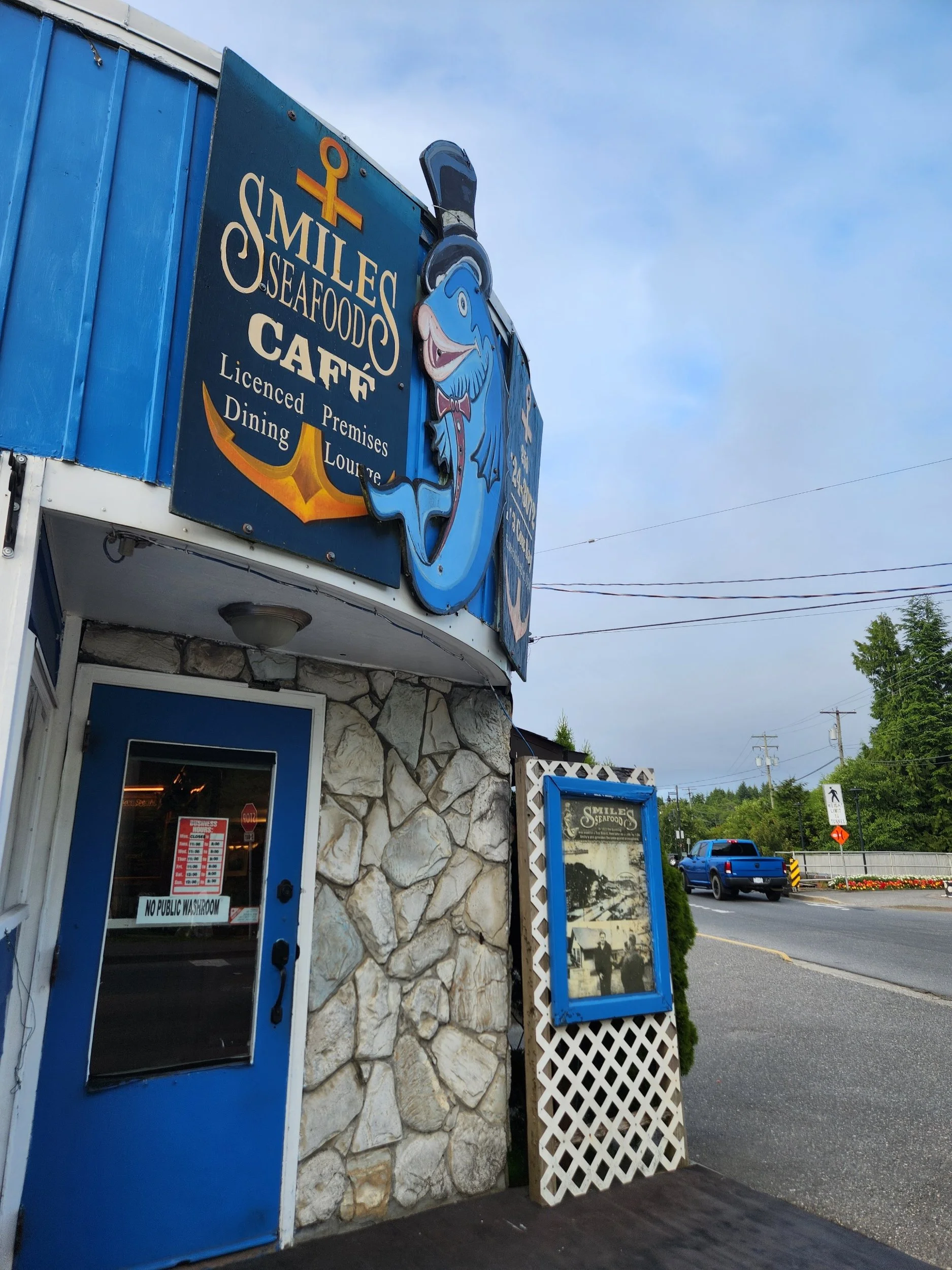
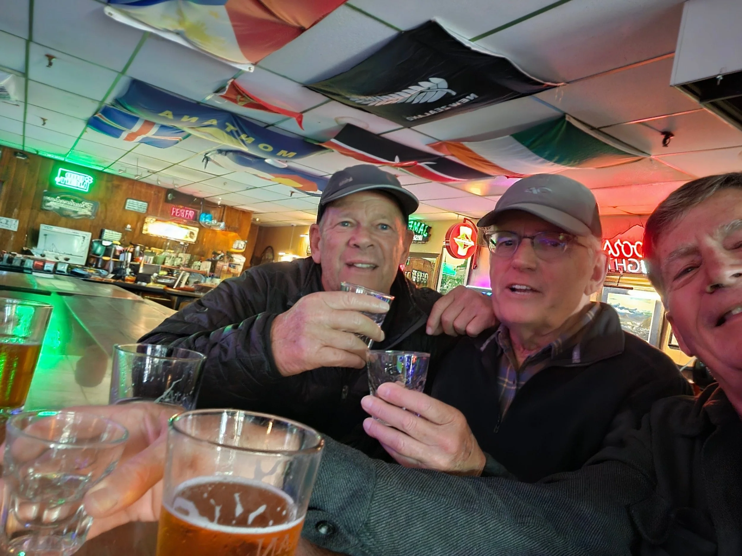
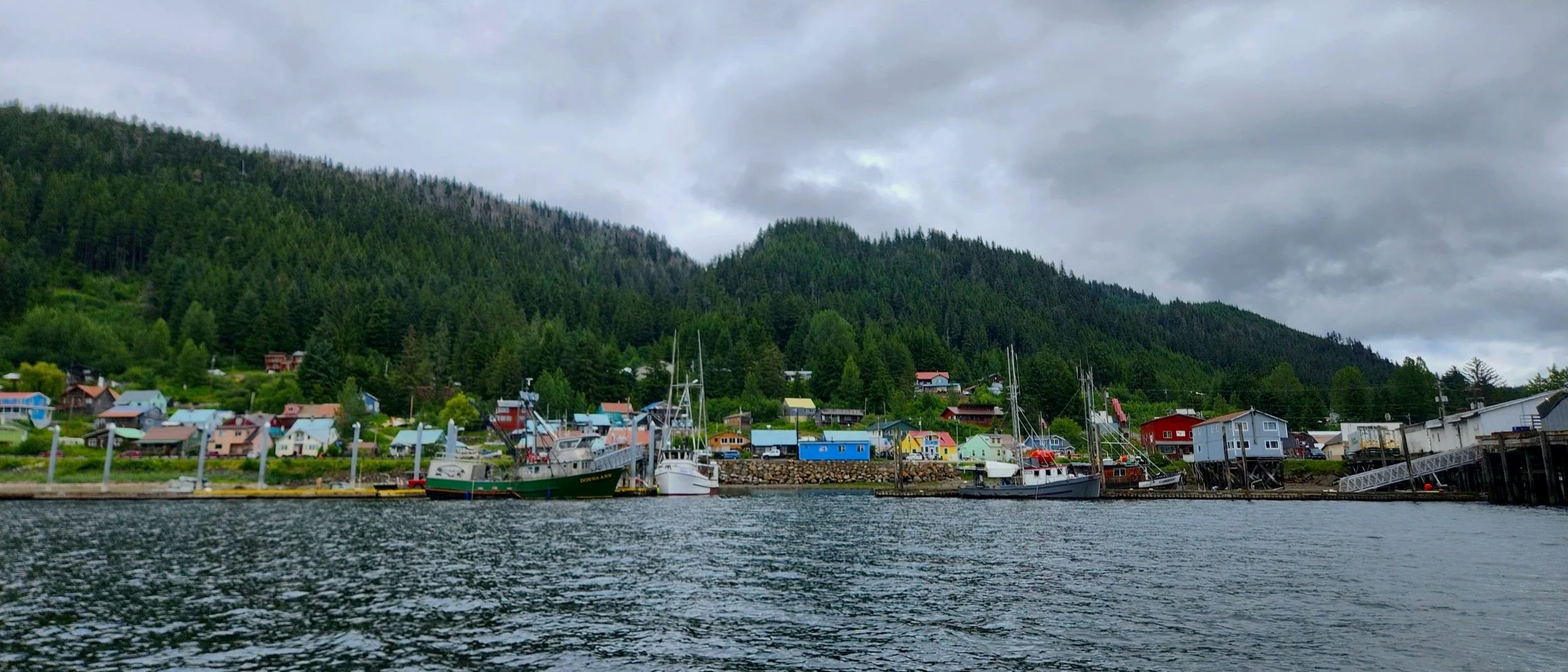
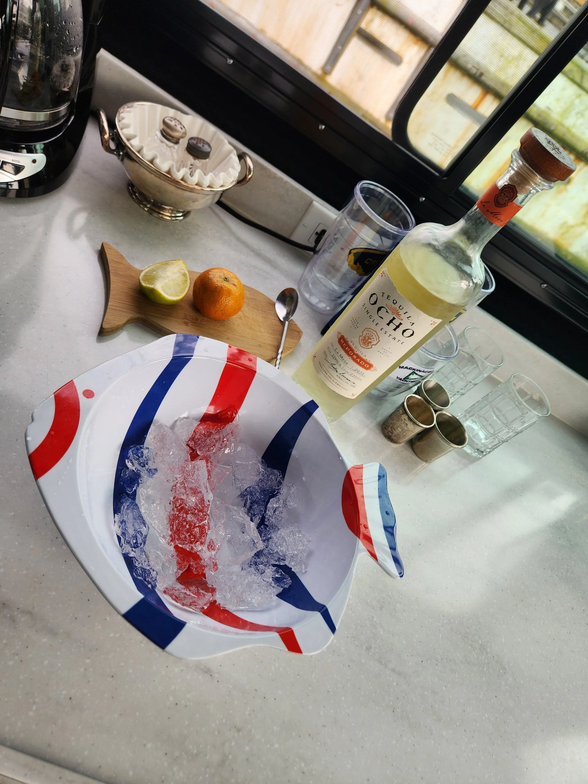
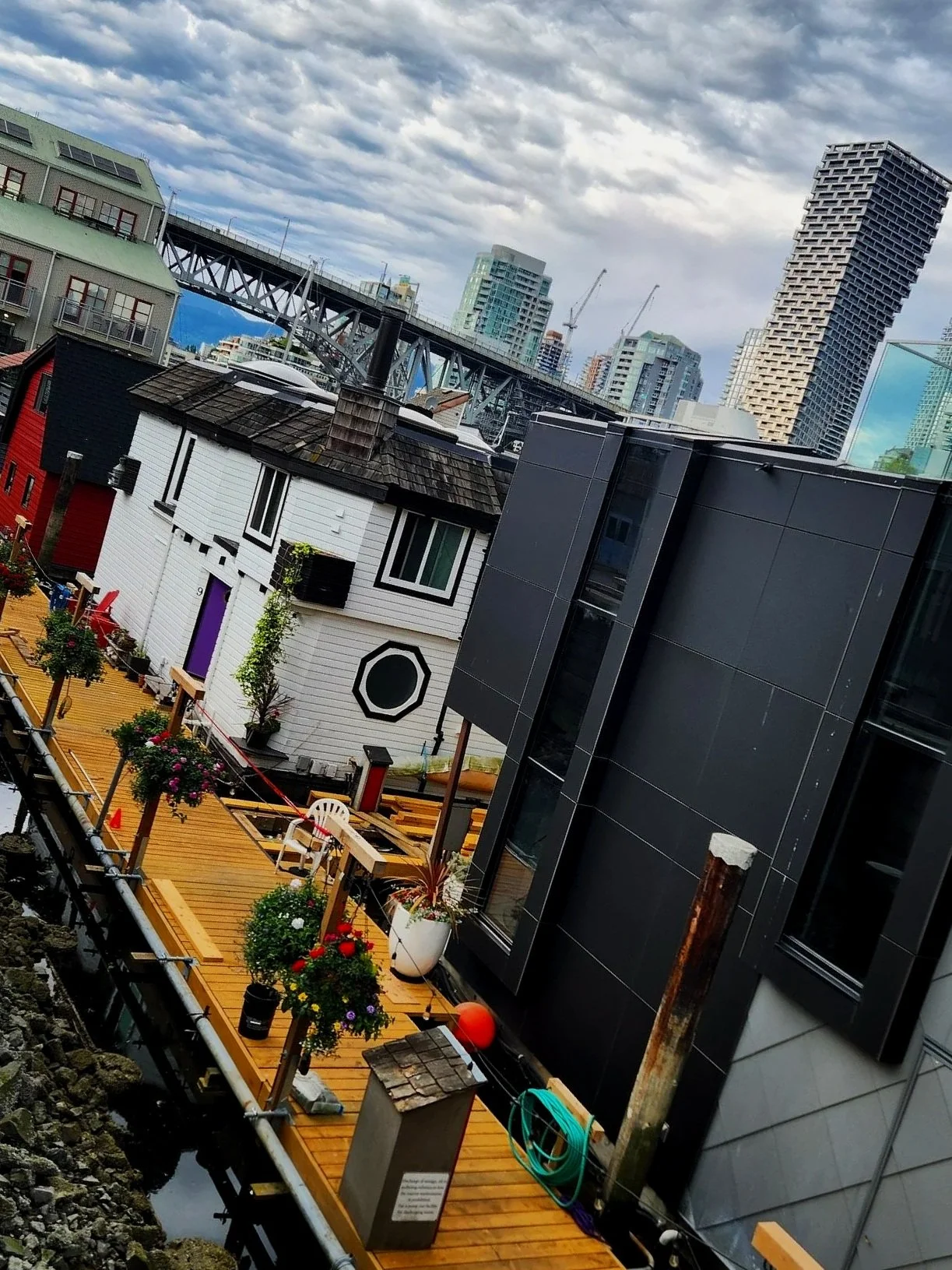
Great food at Smiles Cafe. The owner, Mai, is an amazing women who came to Canada in a tiny boat from Vietnam when she was 20. She has worked and then owned this restaurant with her husband for over 40 years. They are now, sadly, selling…but we are excited for the next phase of their lives.
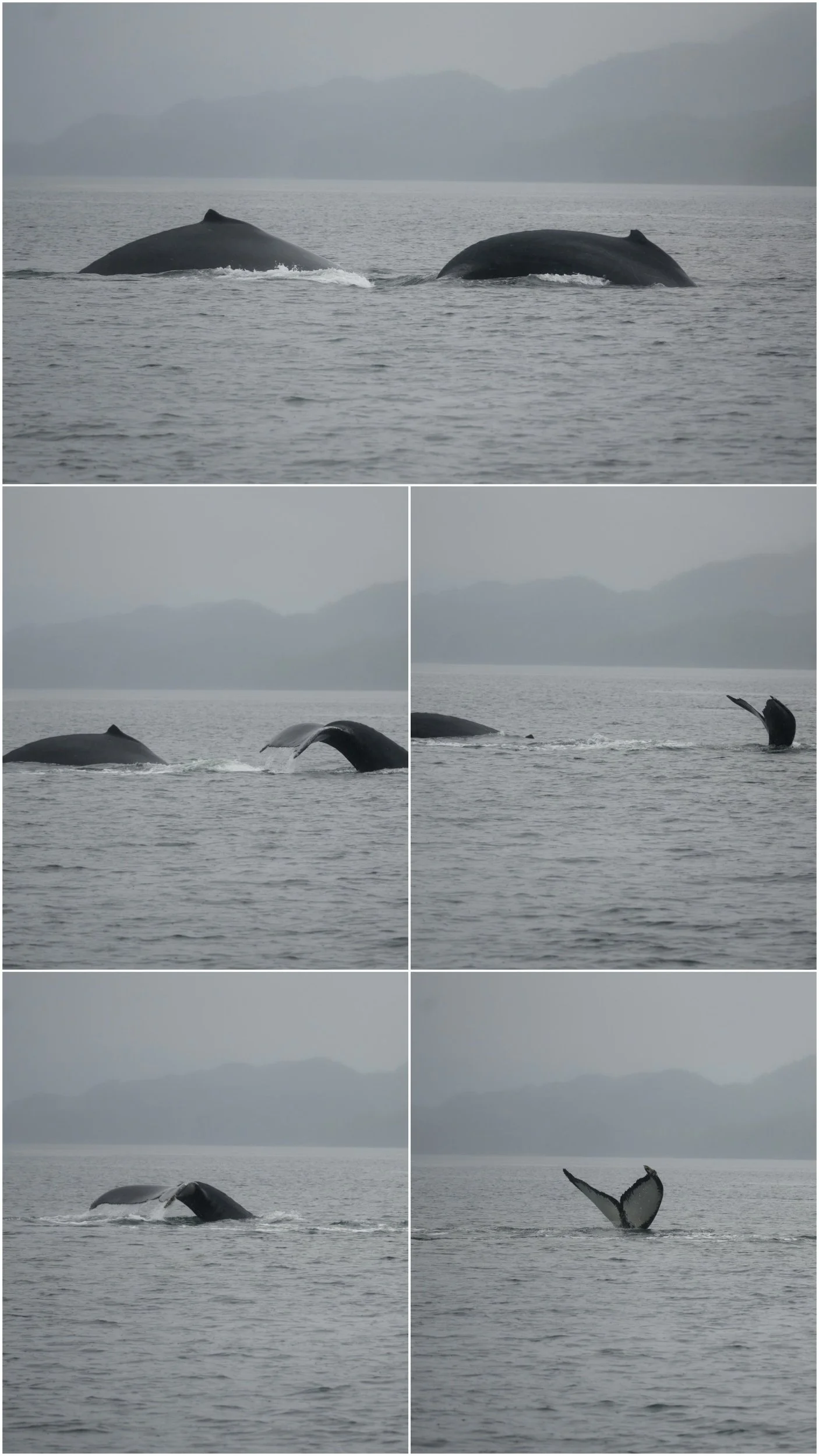
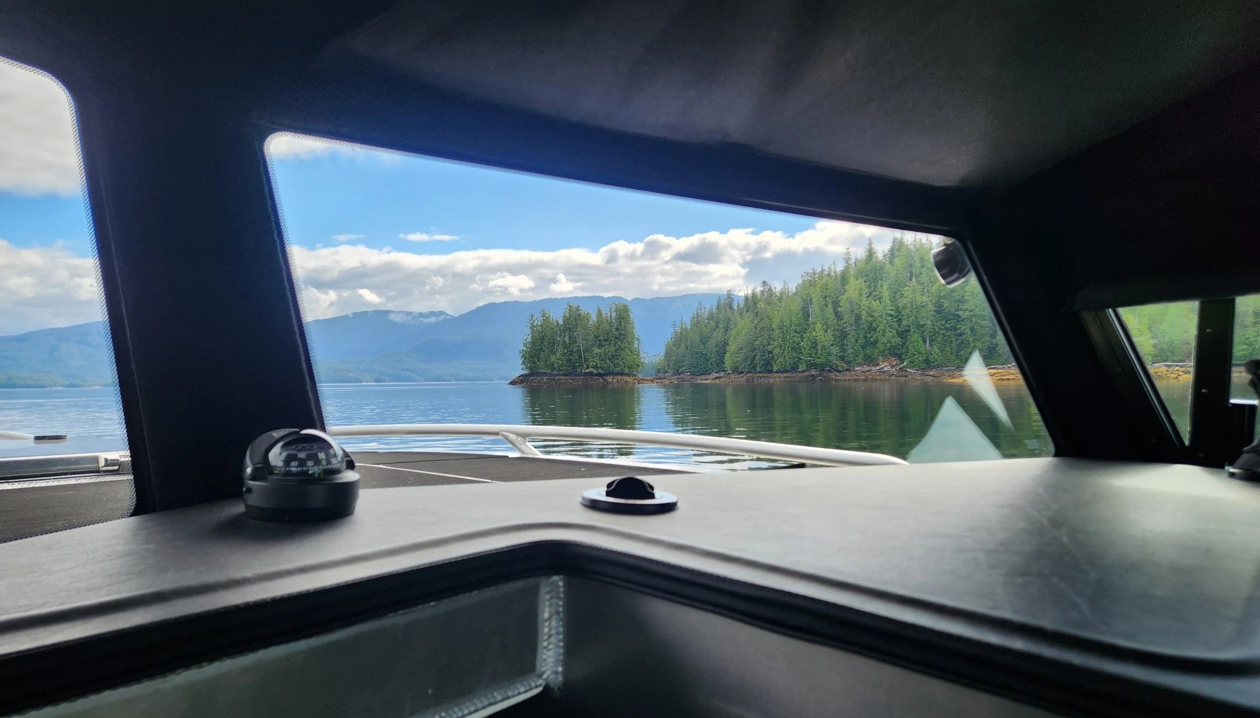
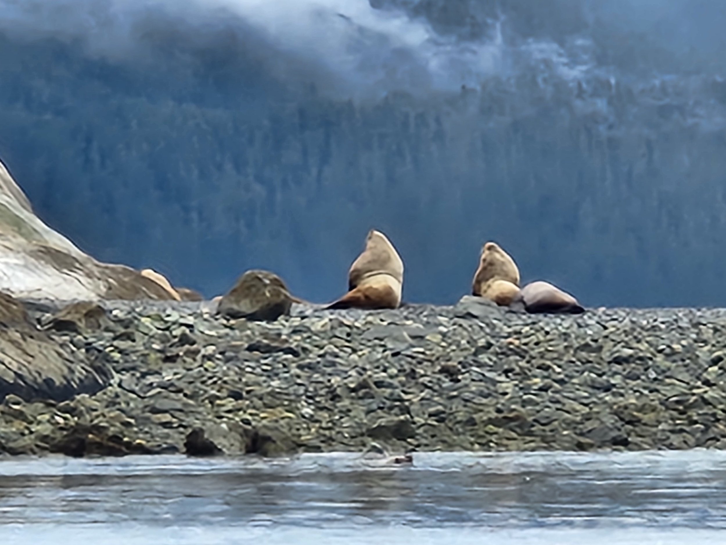
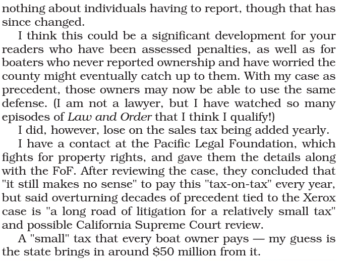
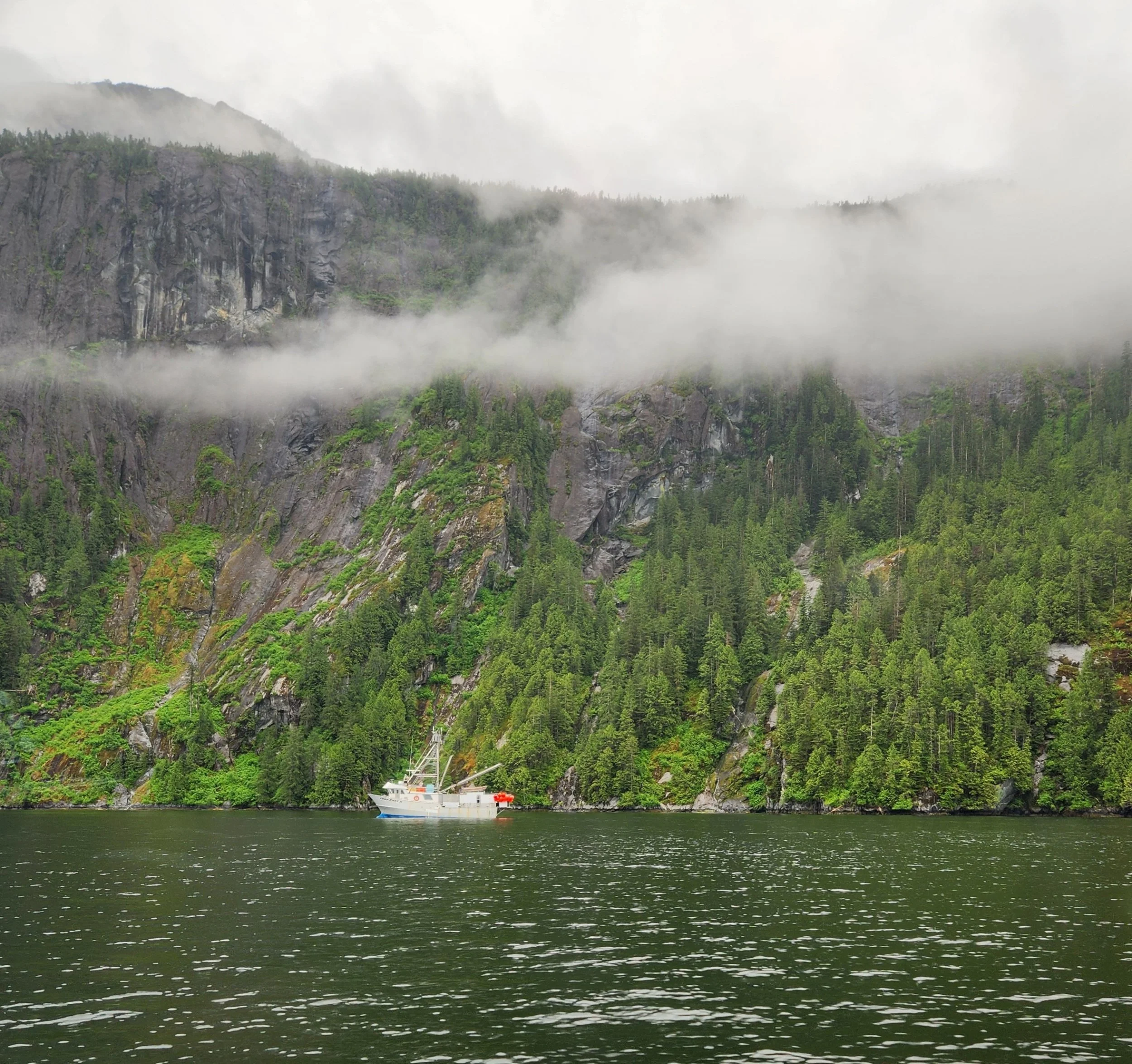
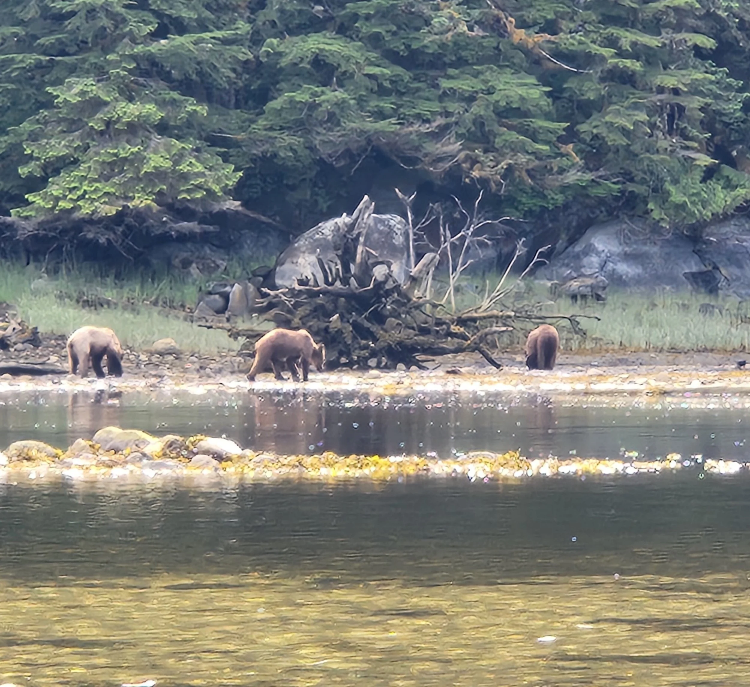
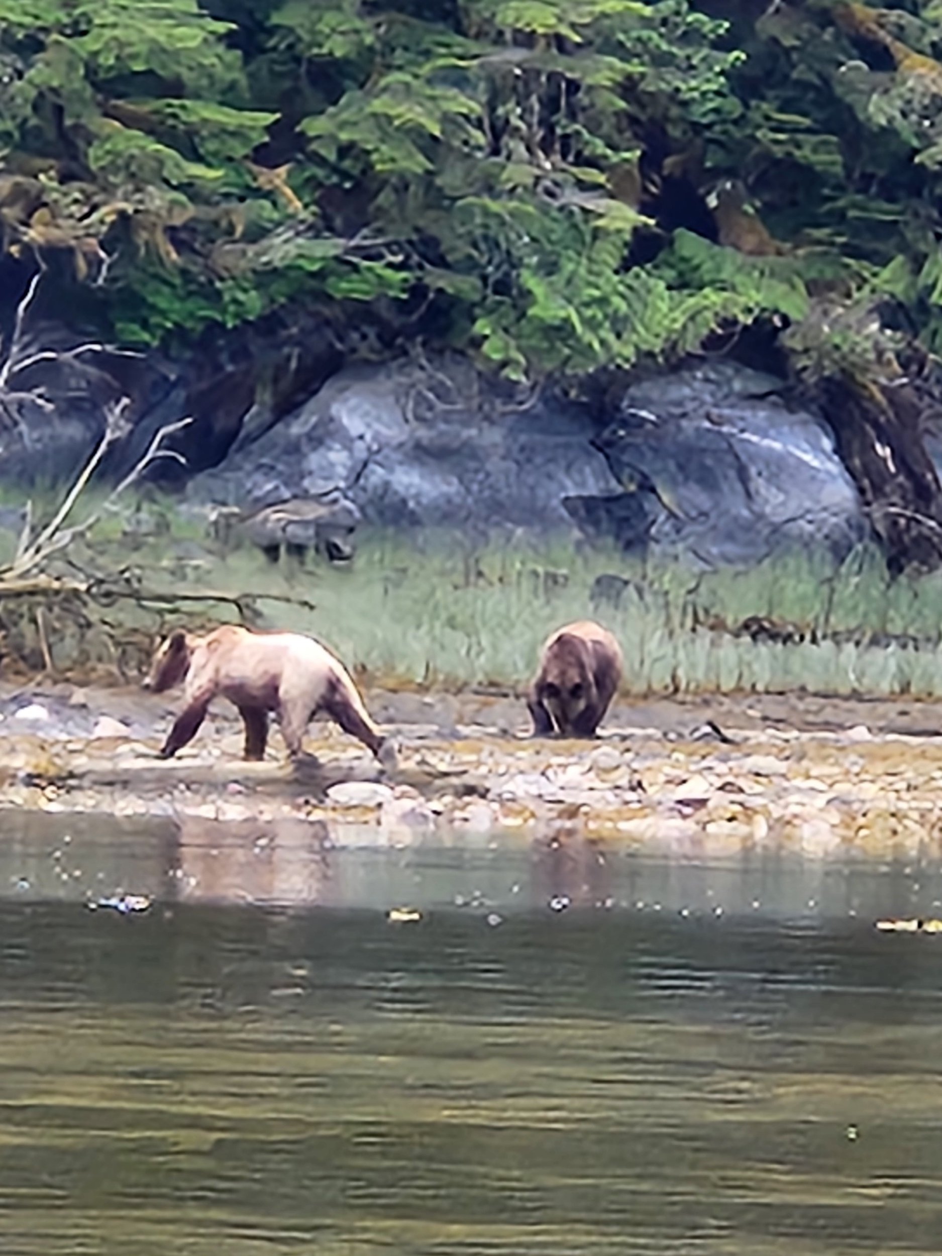
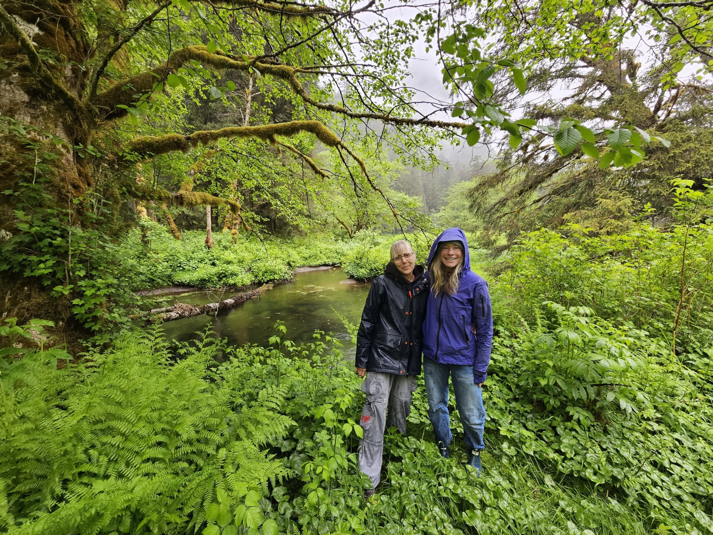
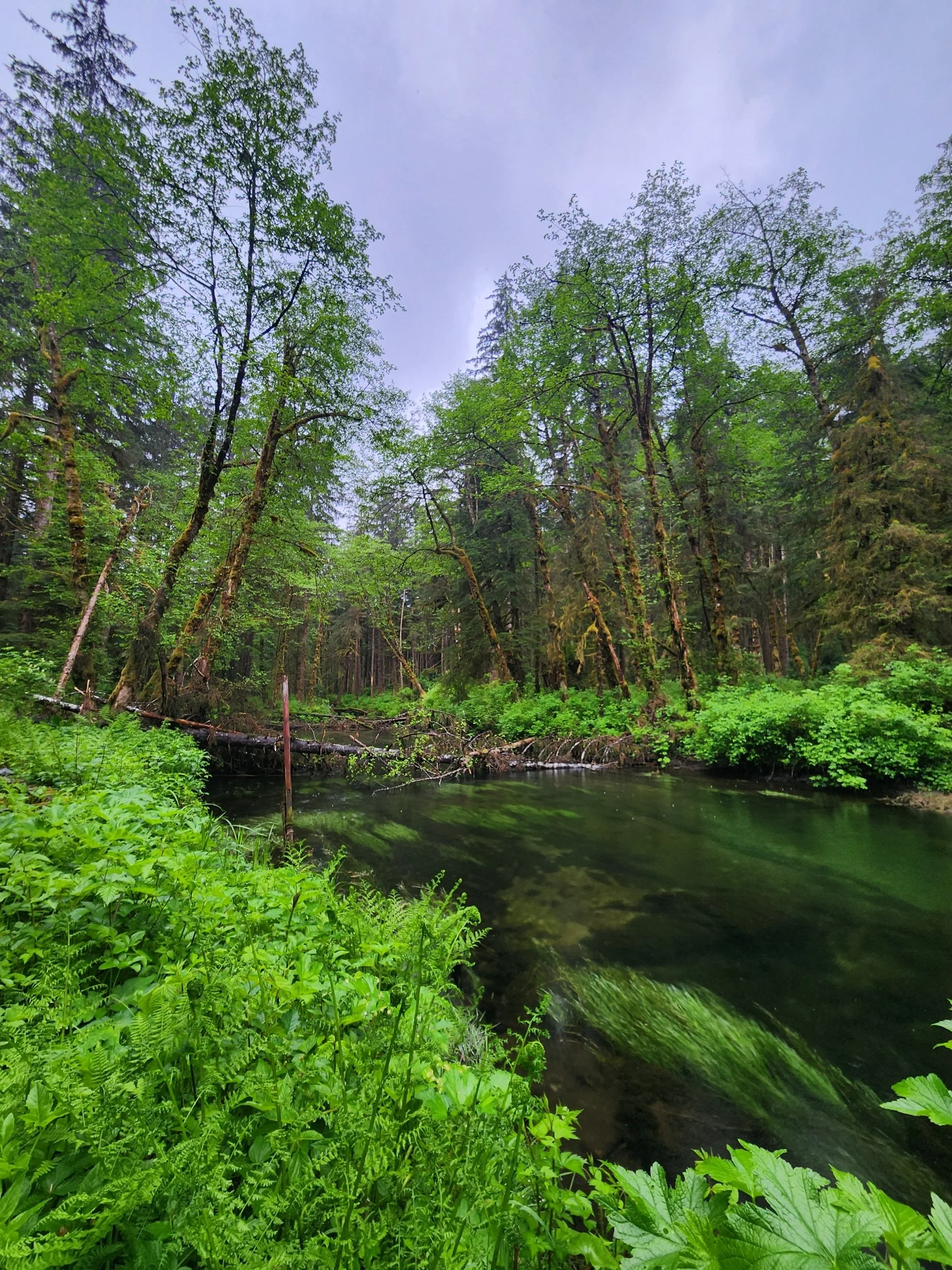
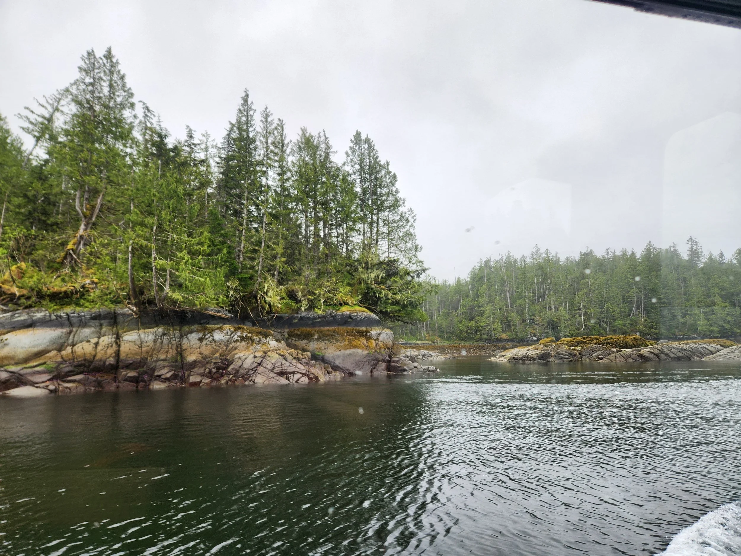
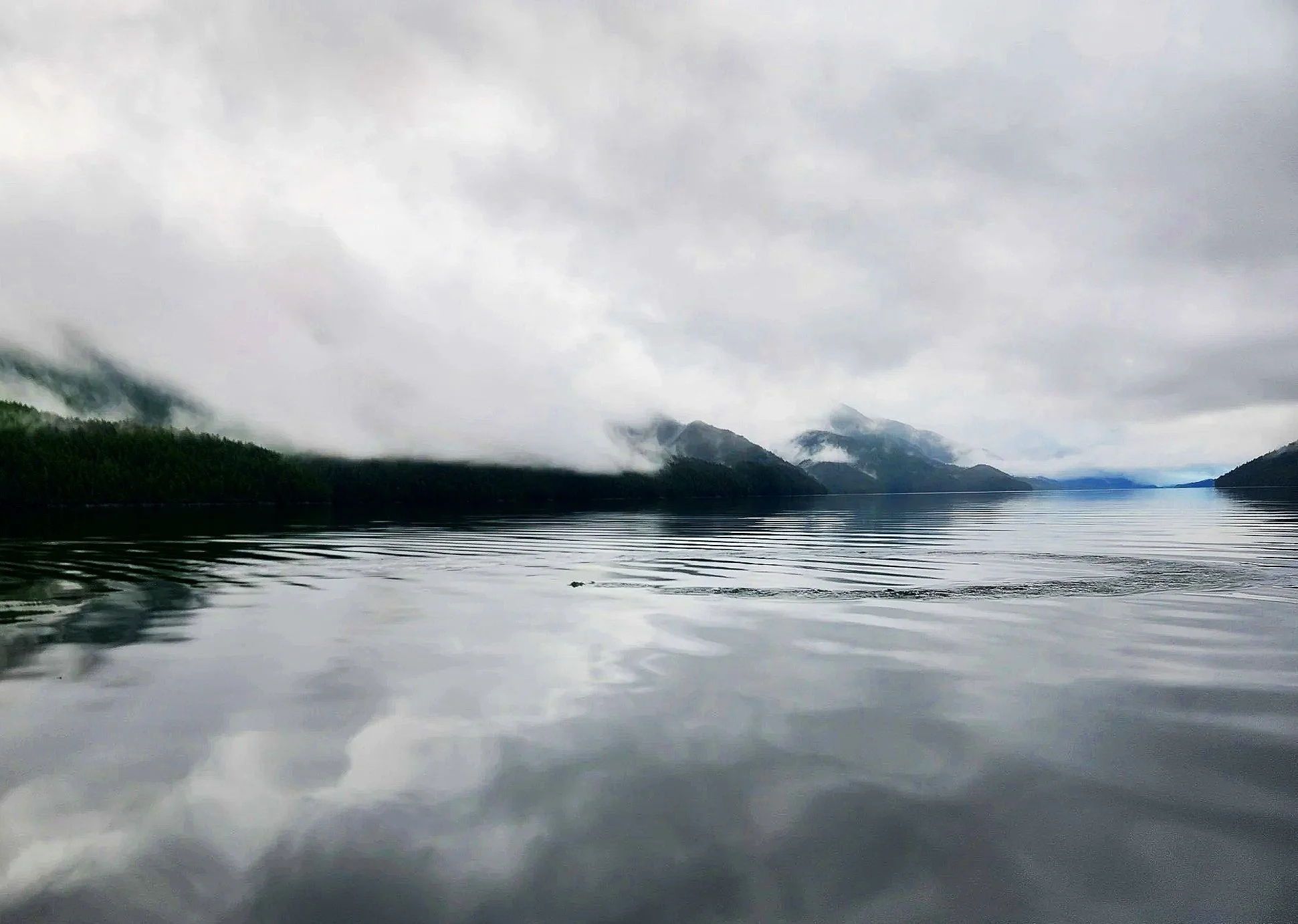
In the Grenville Channel, near the South end of Pitt Island, we come across four or so feeding Humpback Whales. It was amazing to sit and watch them dive/feed over and over again. I will be putting video of this and other whale encounters on Instagram -independenceii_lifeproof - soon.
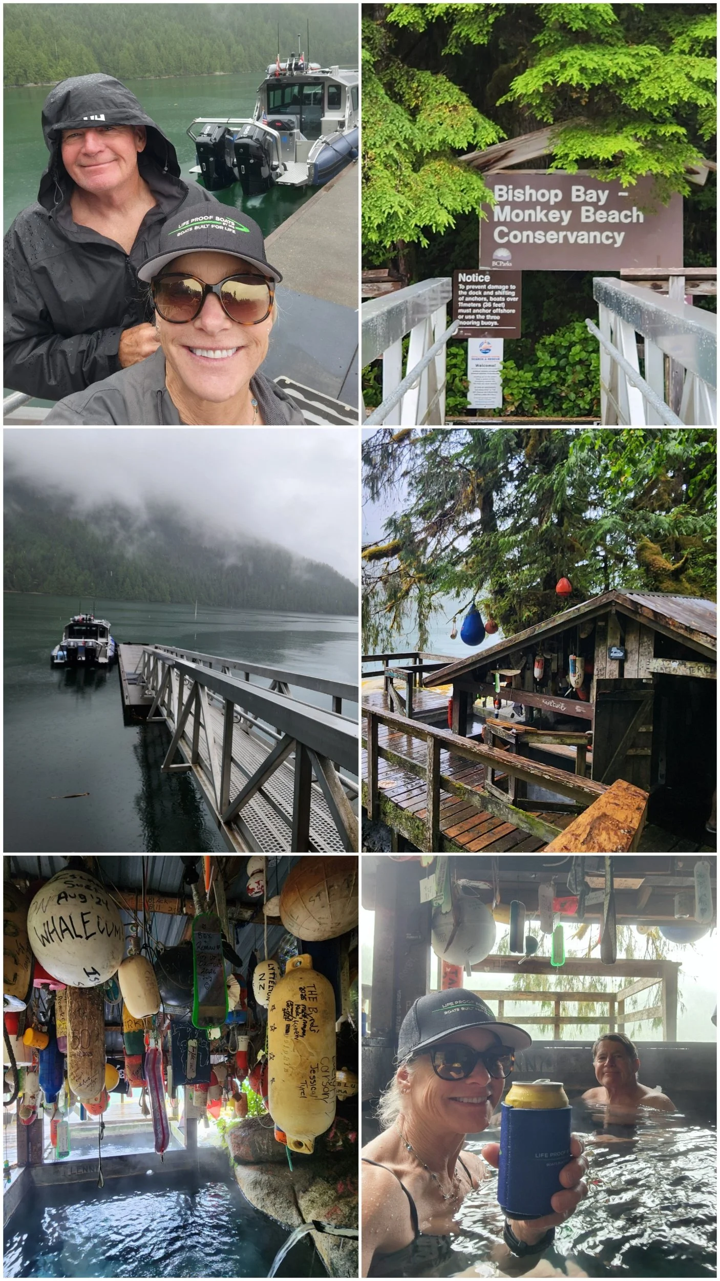
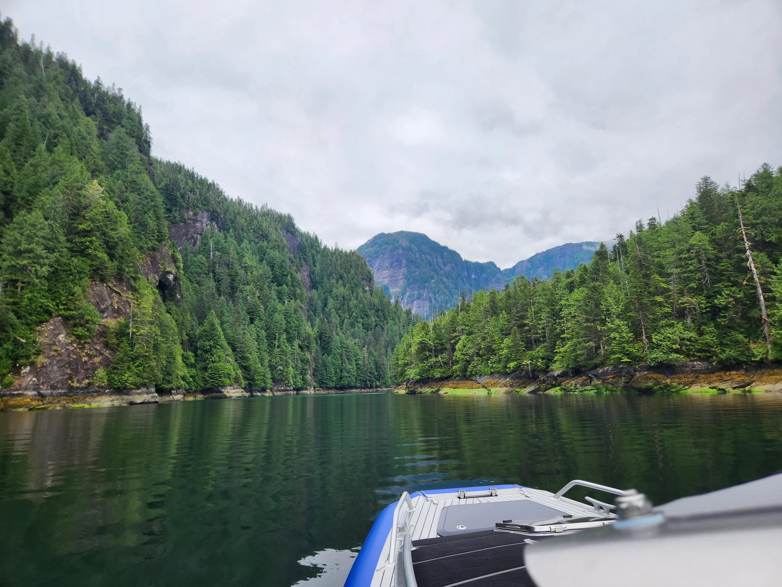
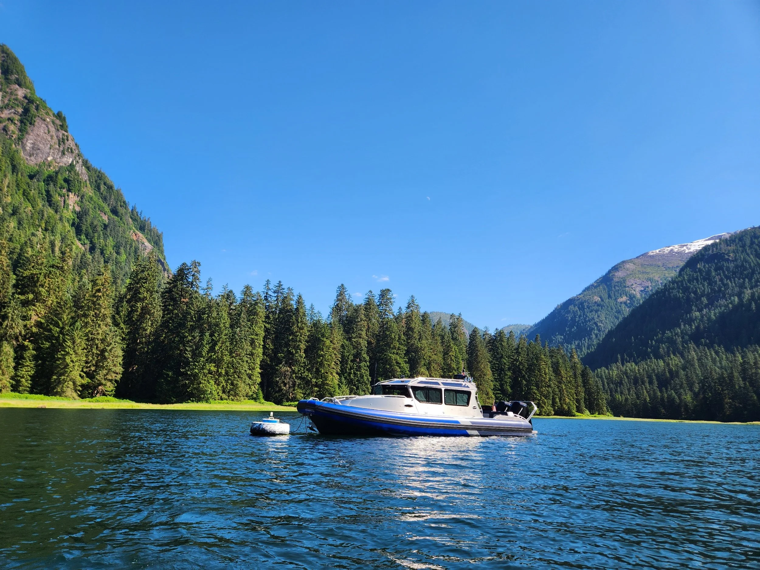
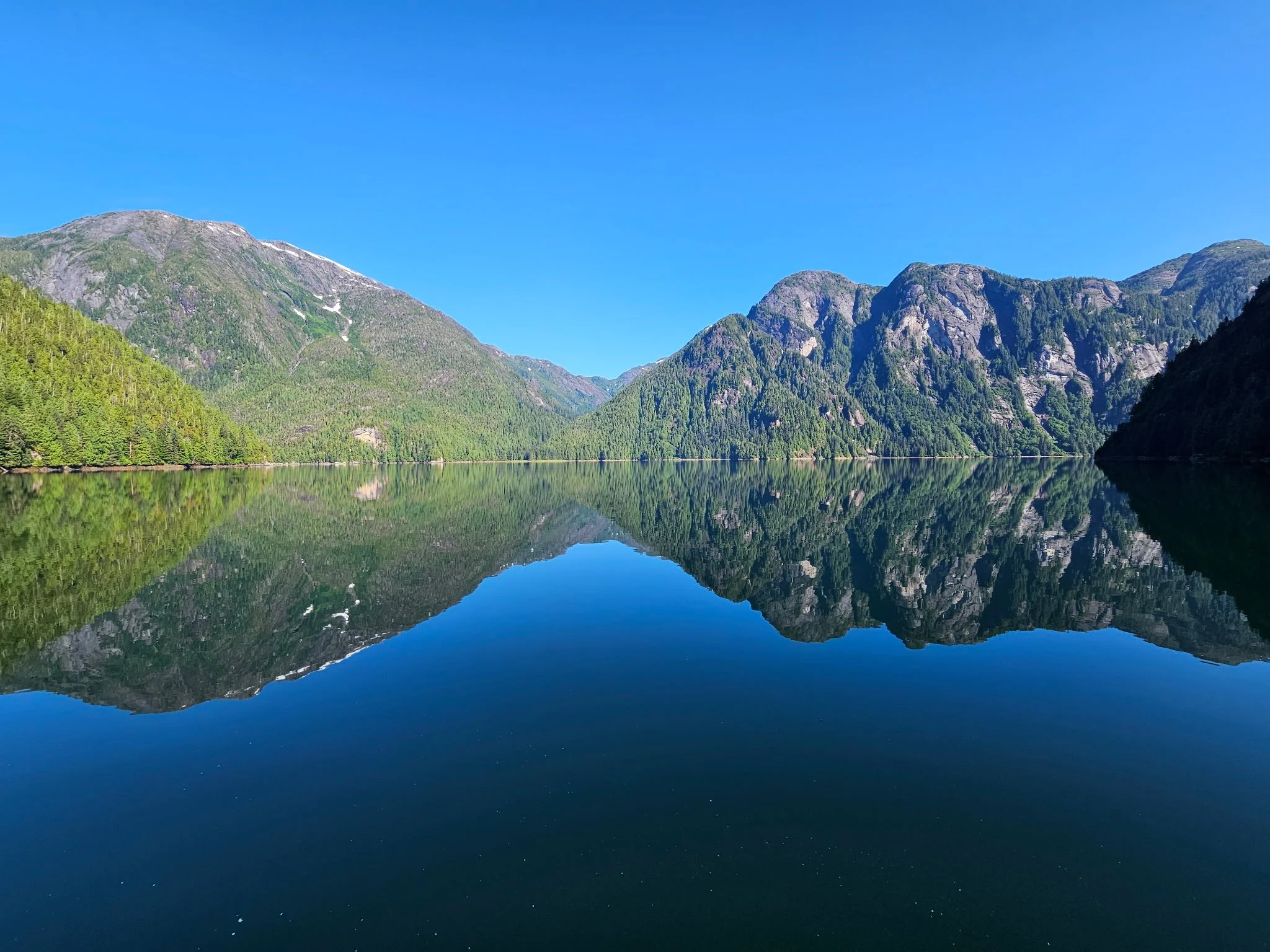
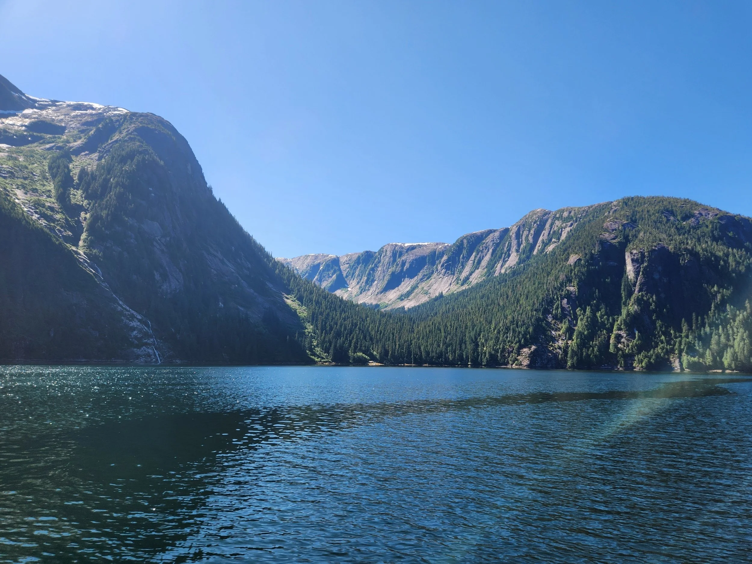
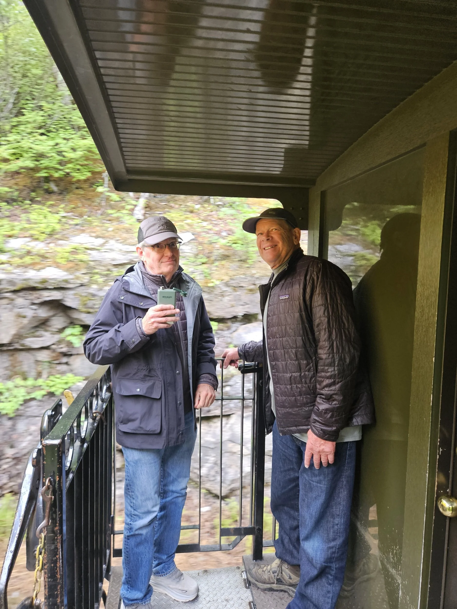
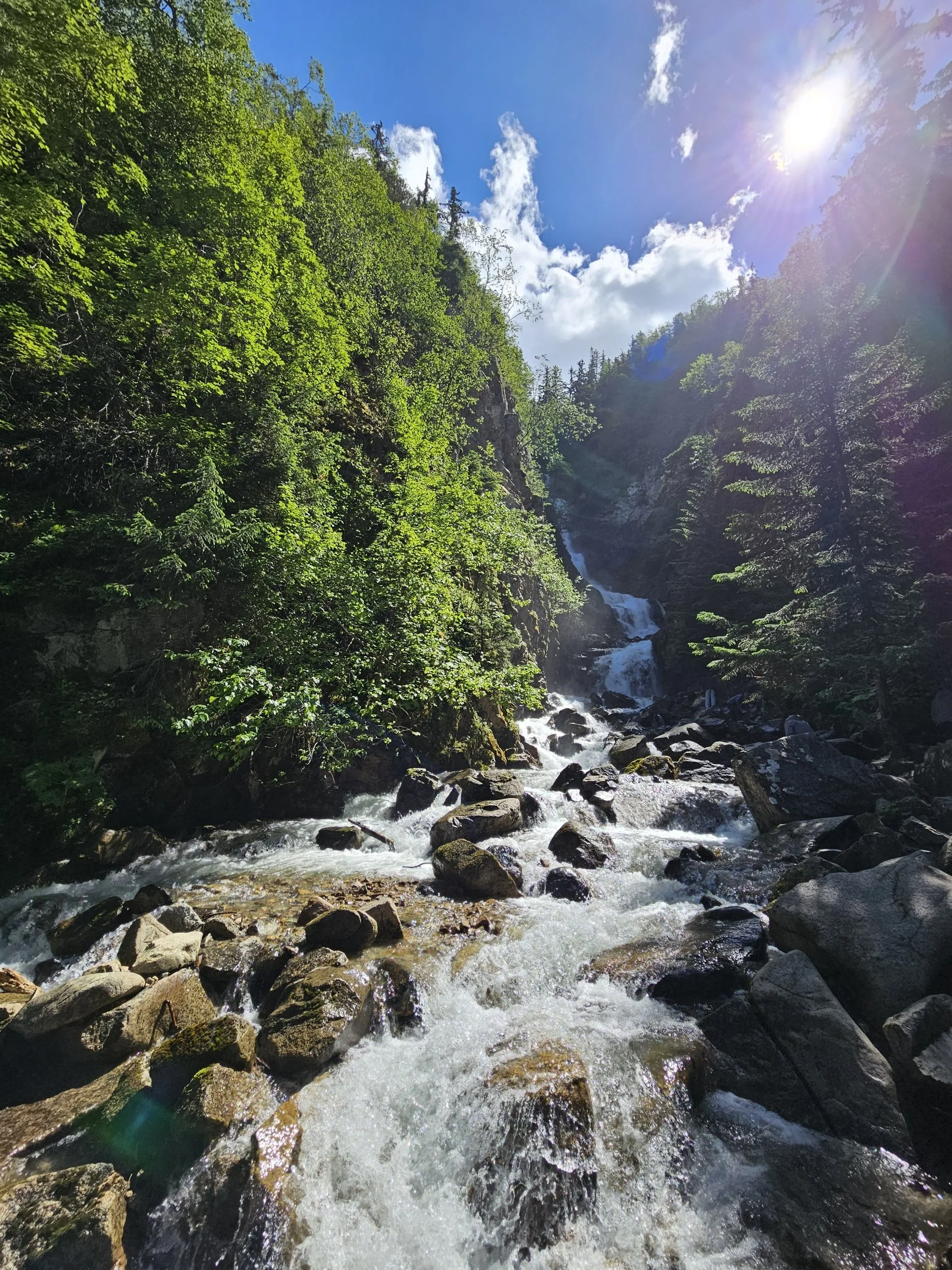
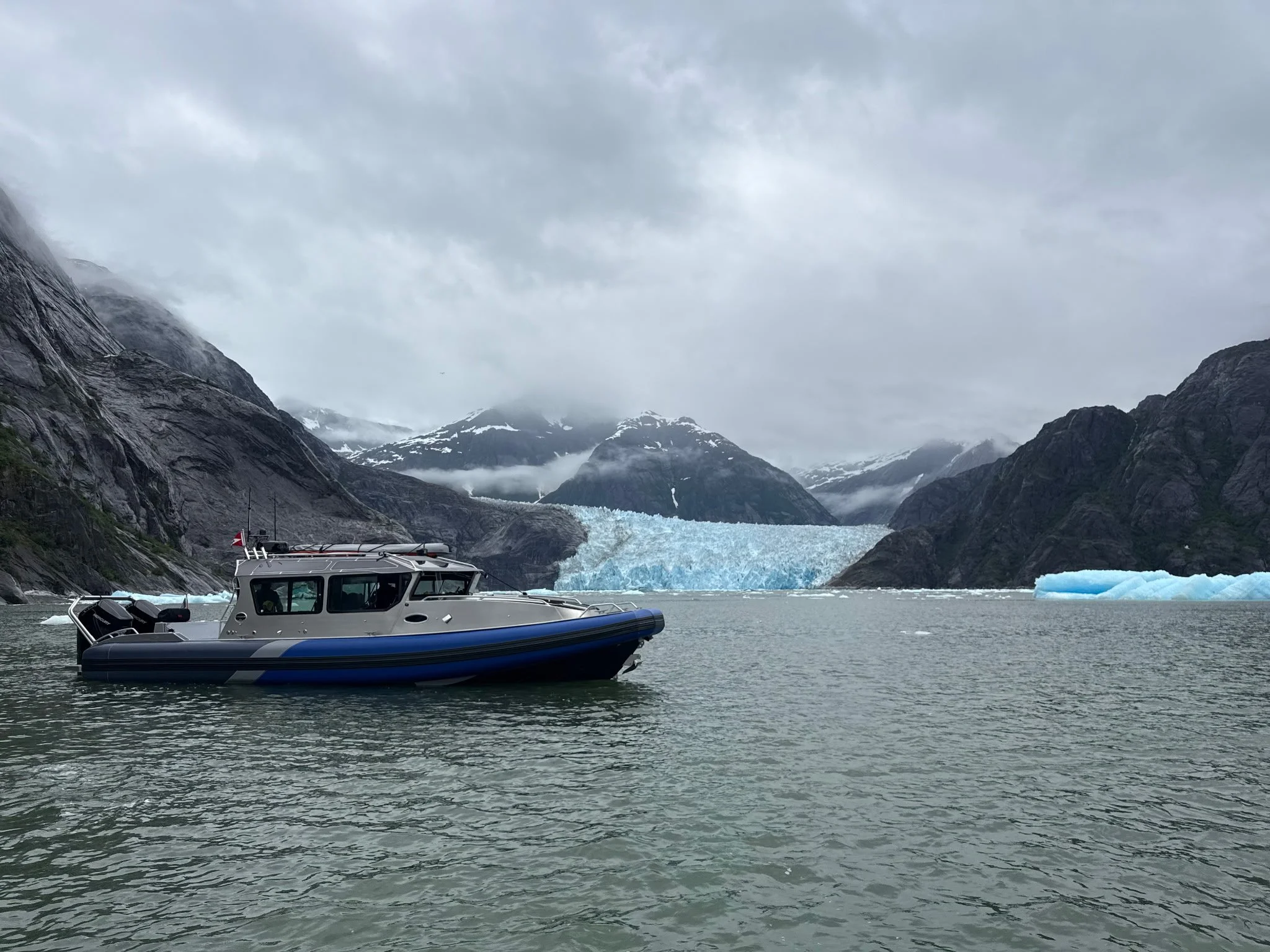
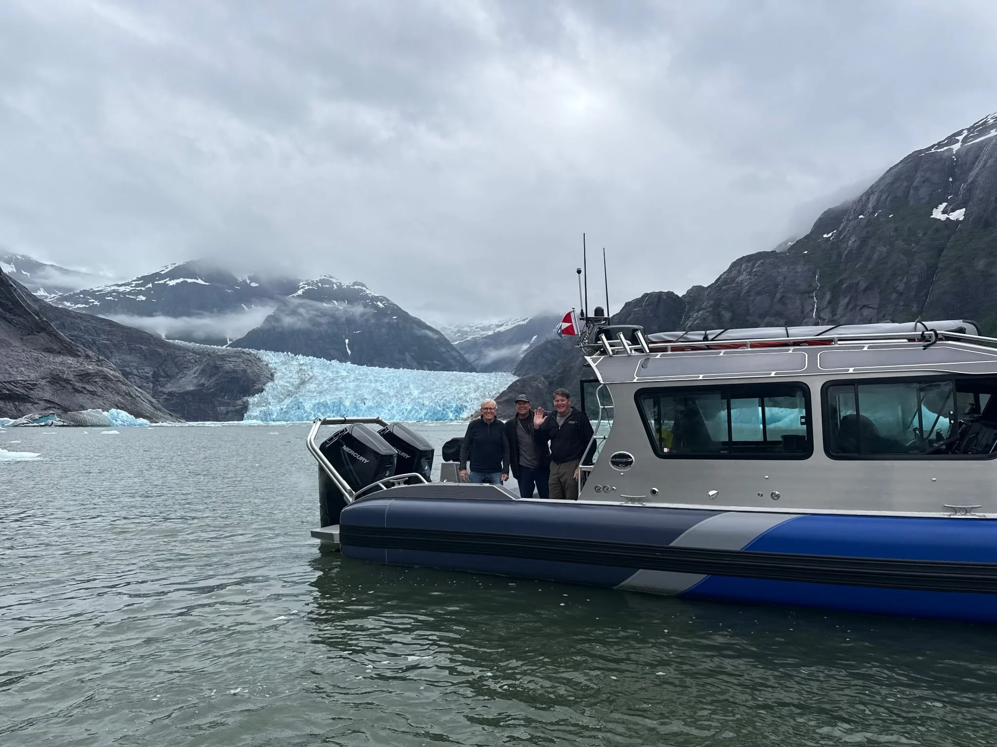
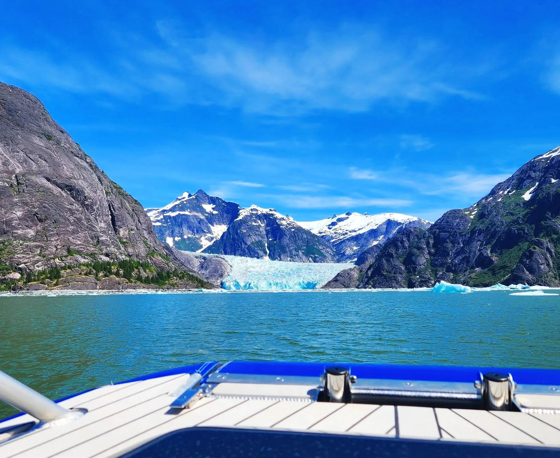
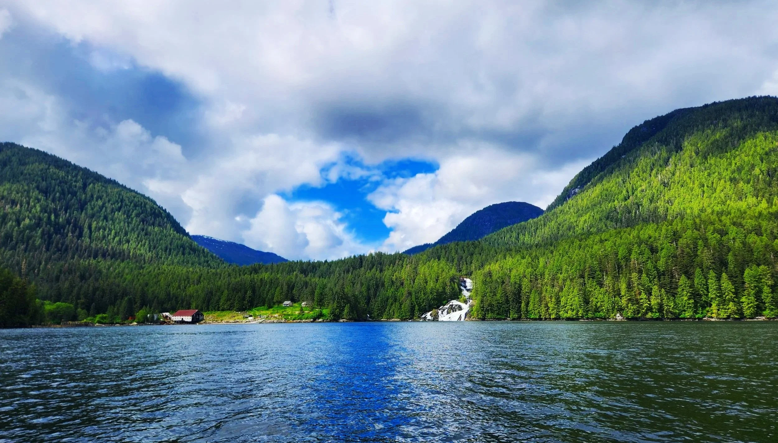
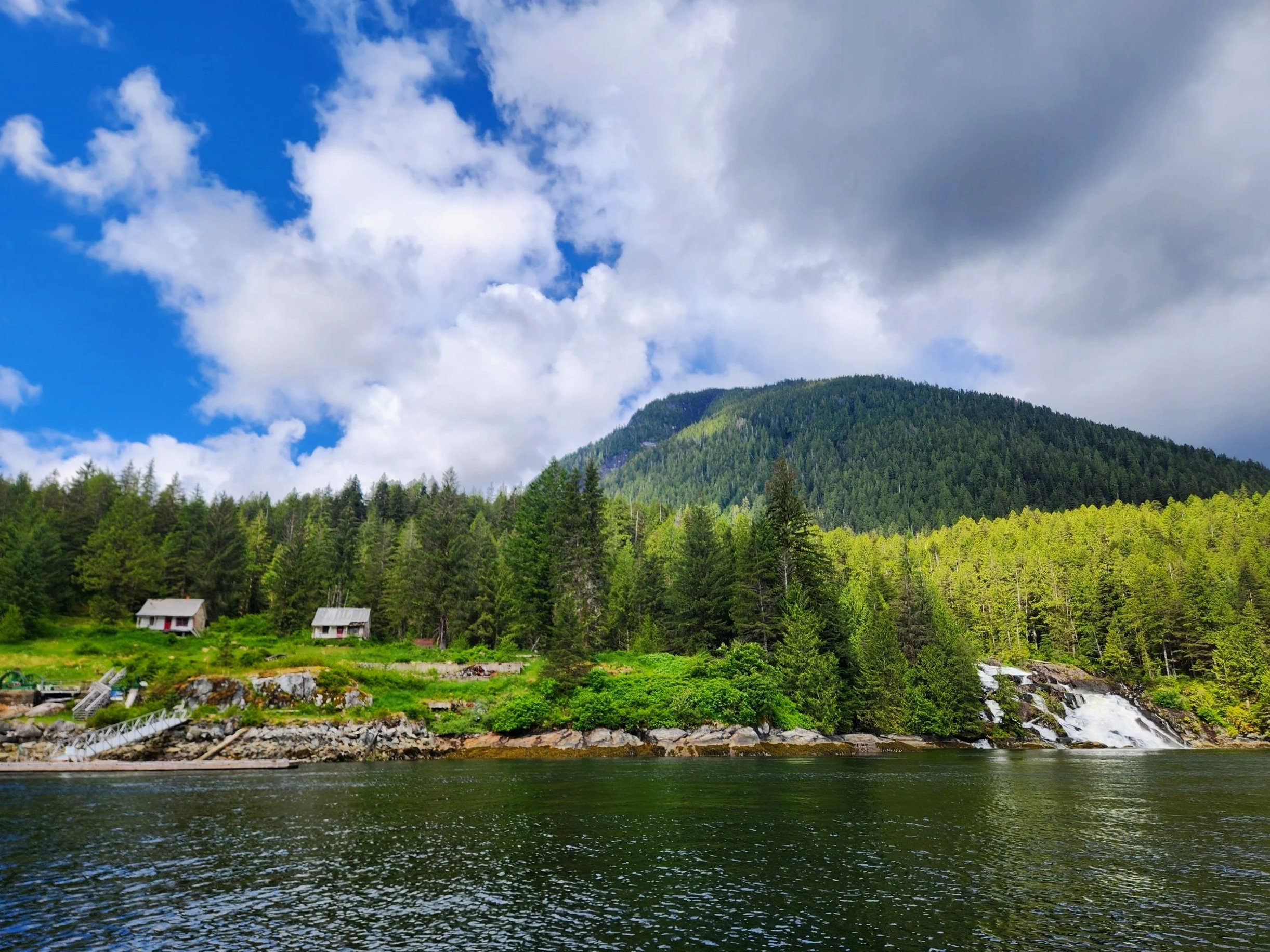
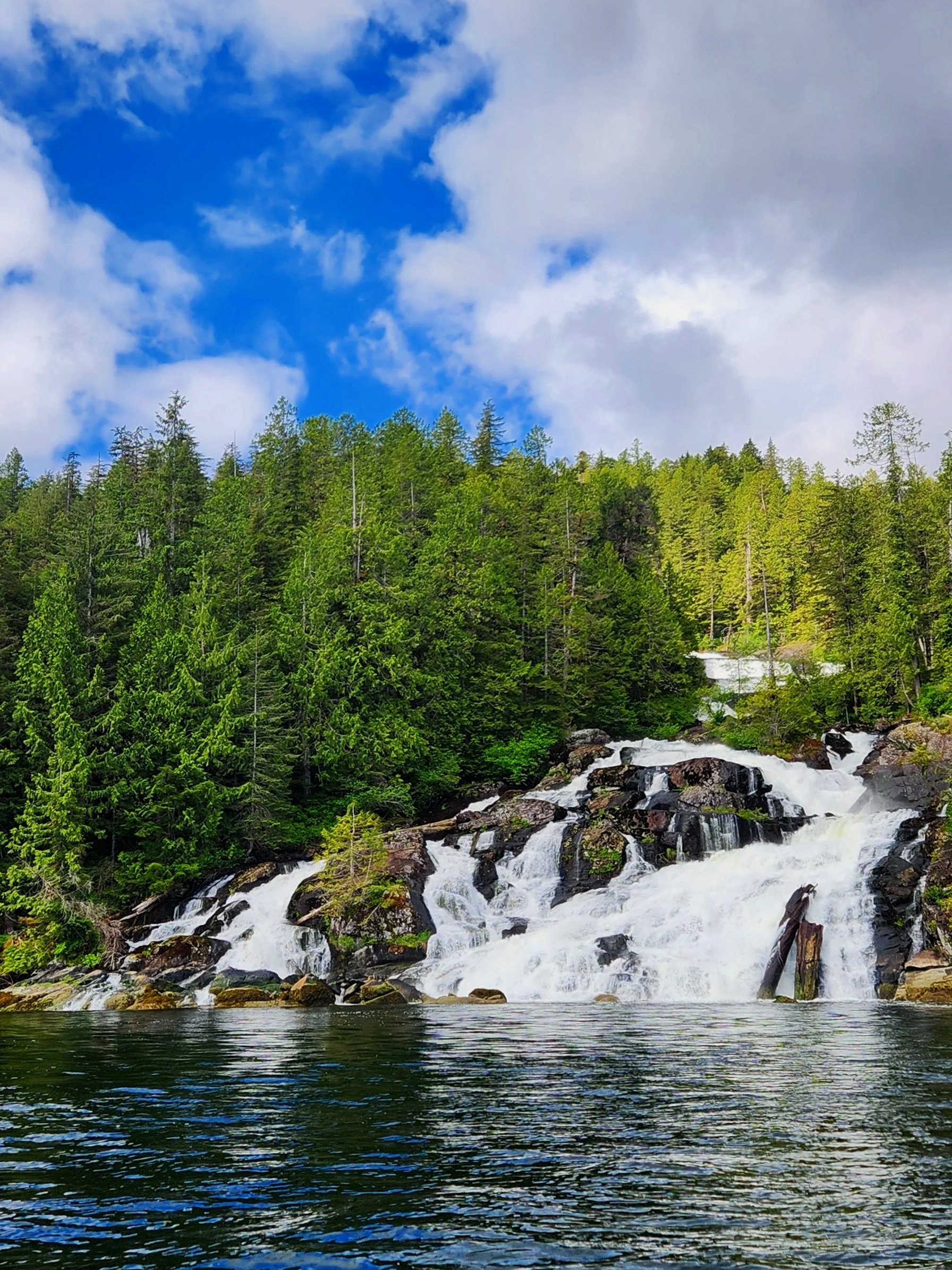
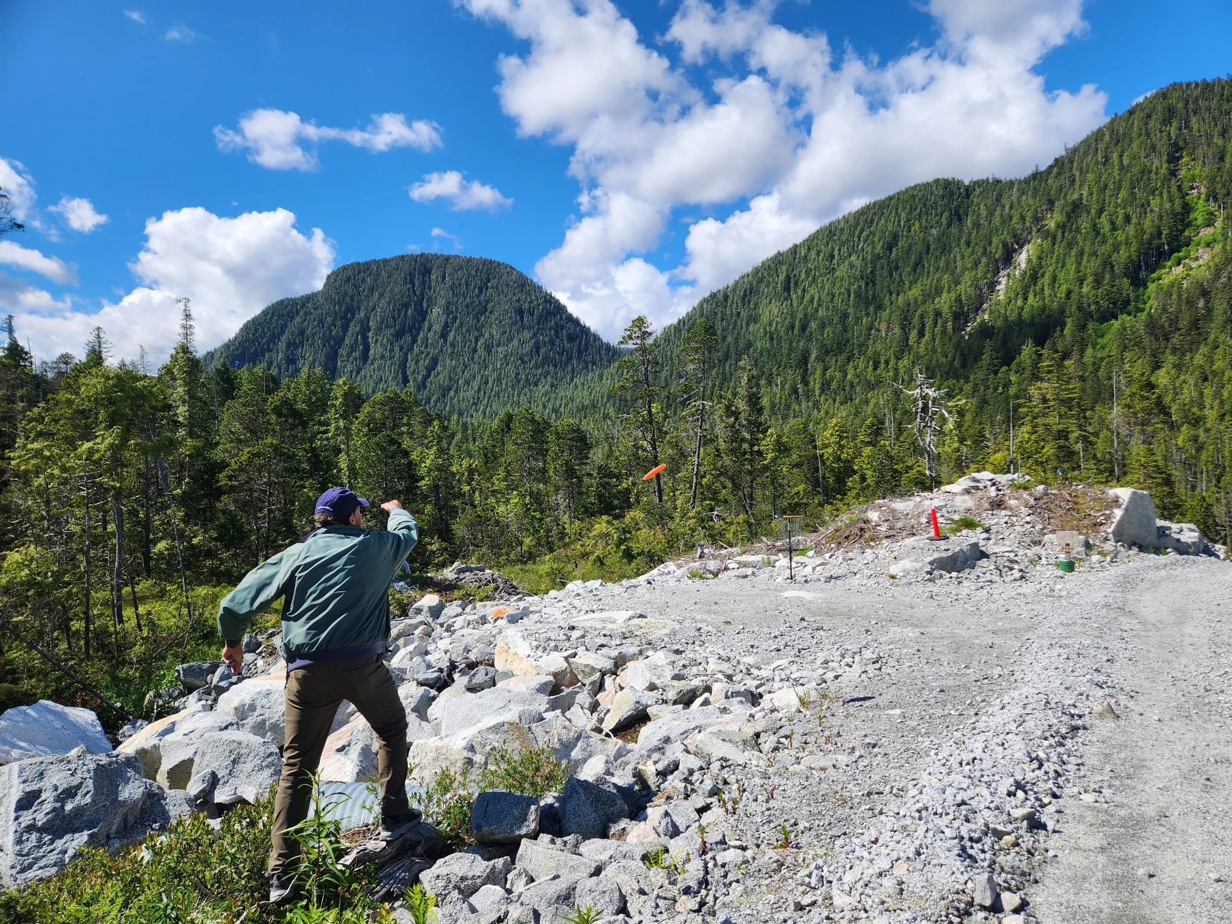
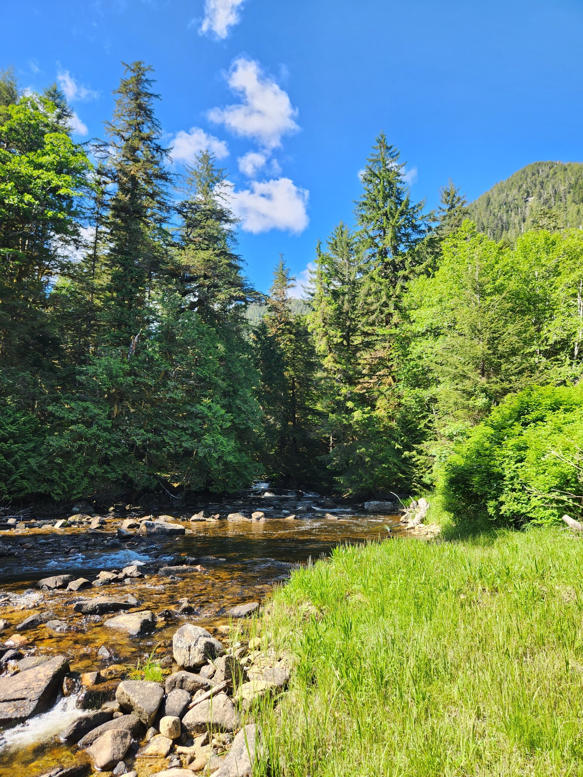
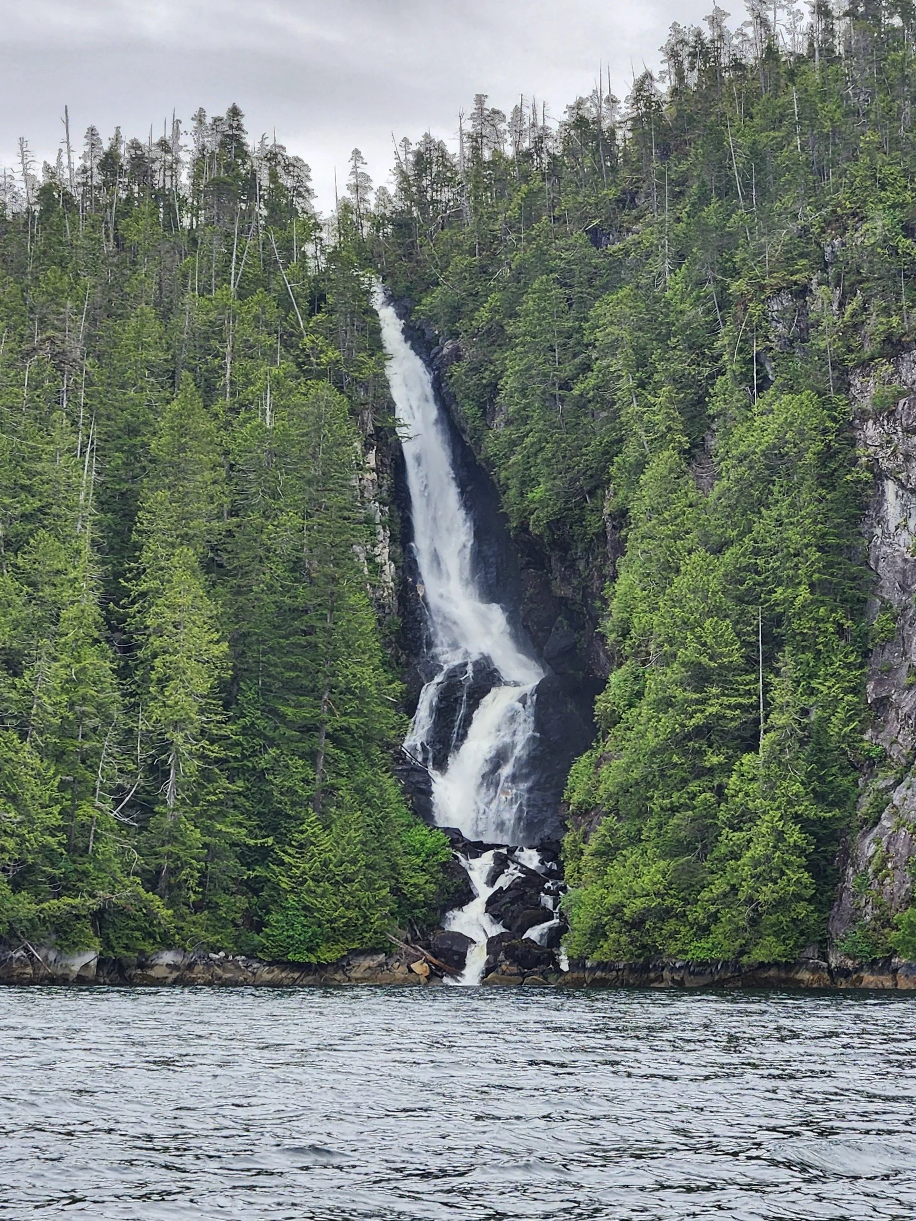
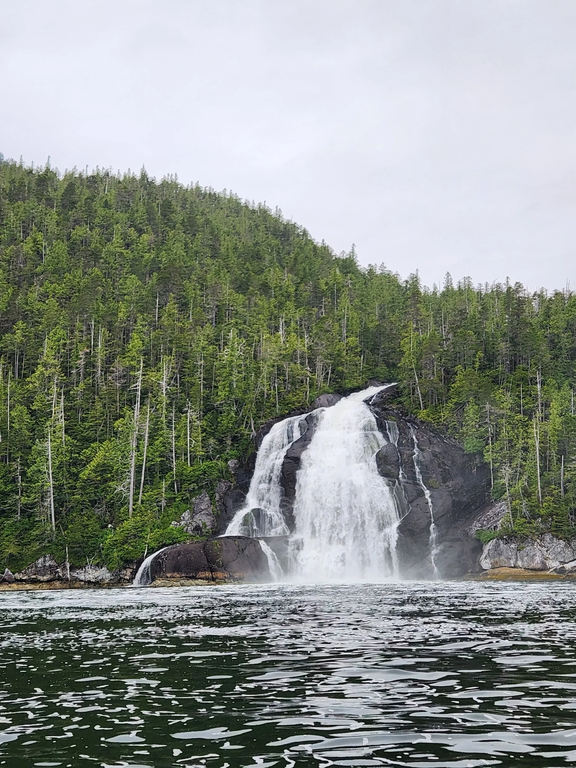
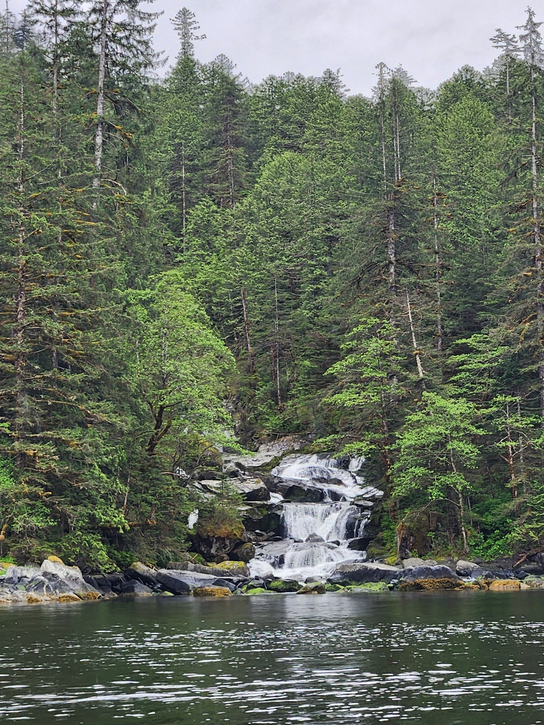
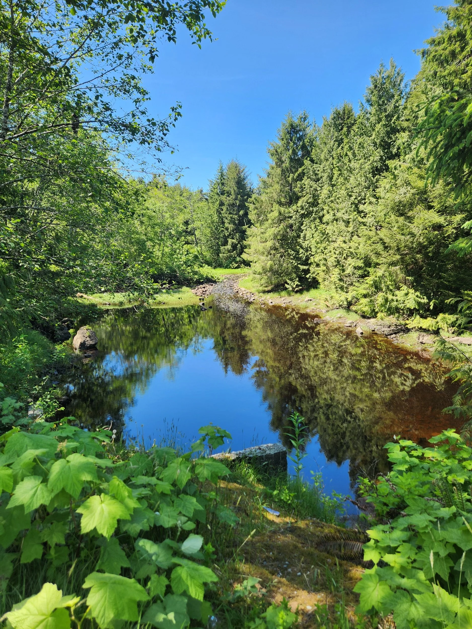
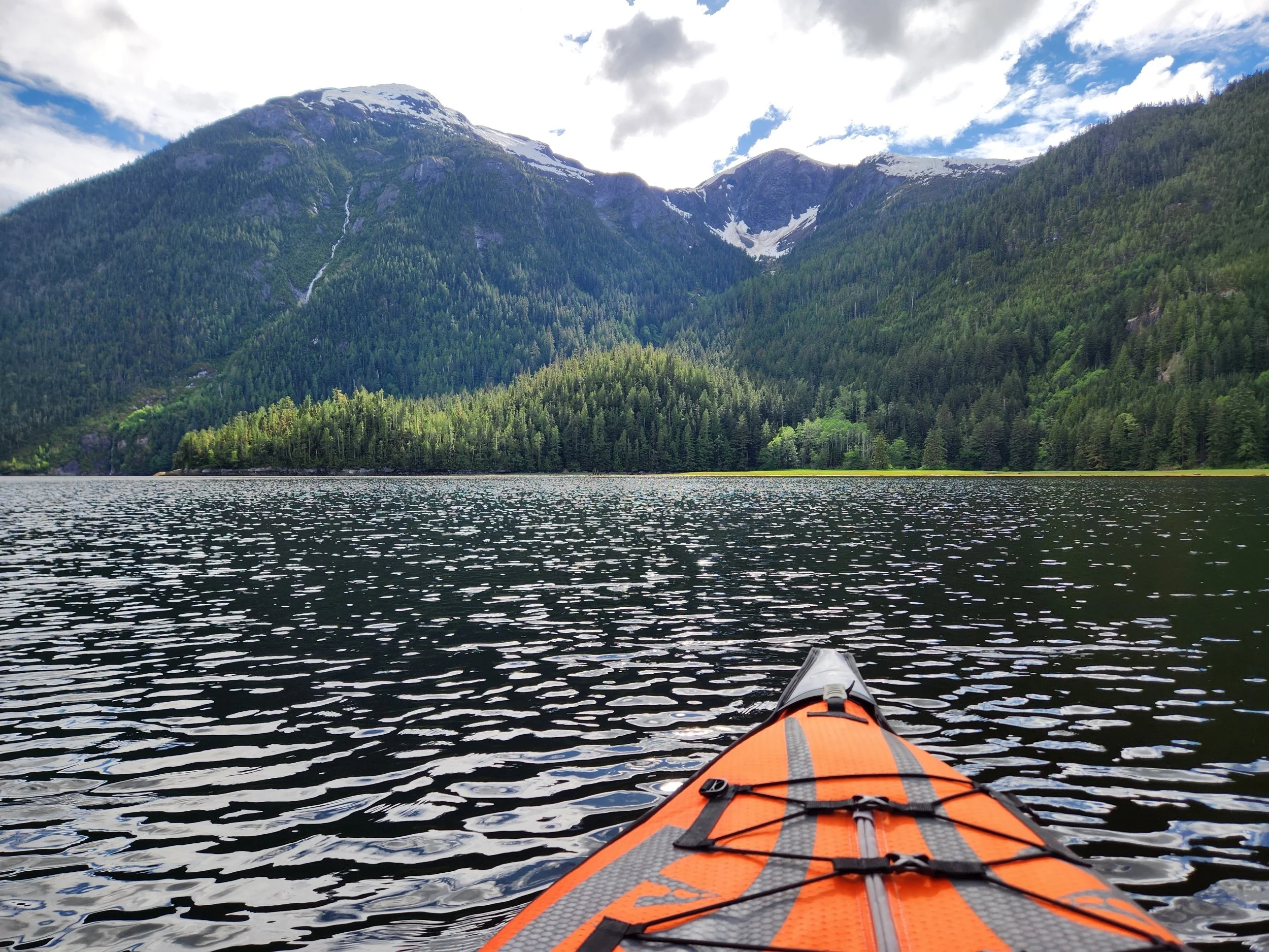
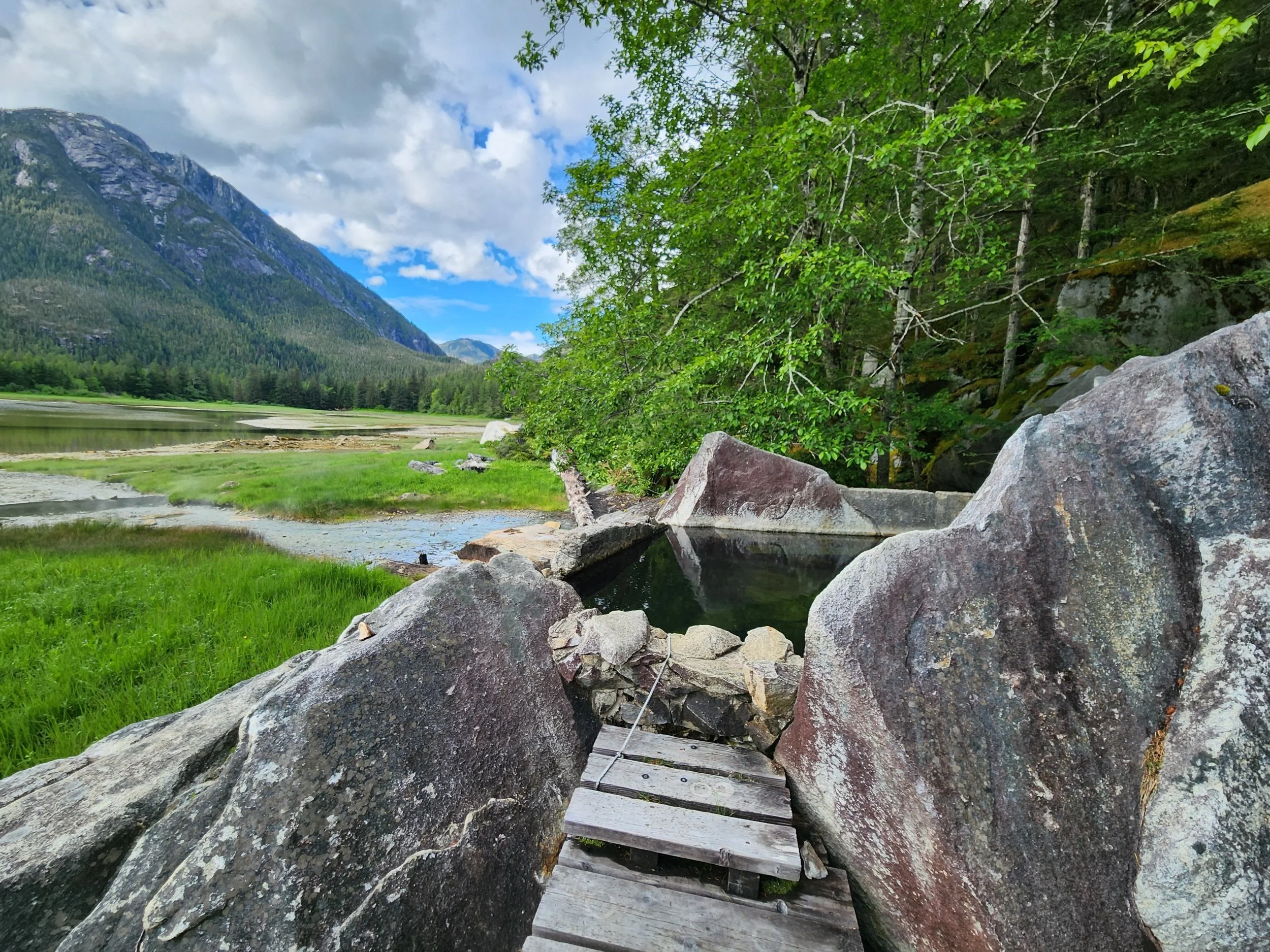
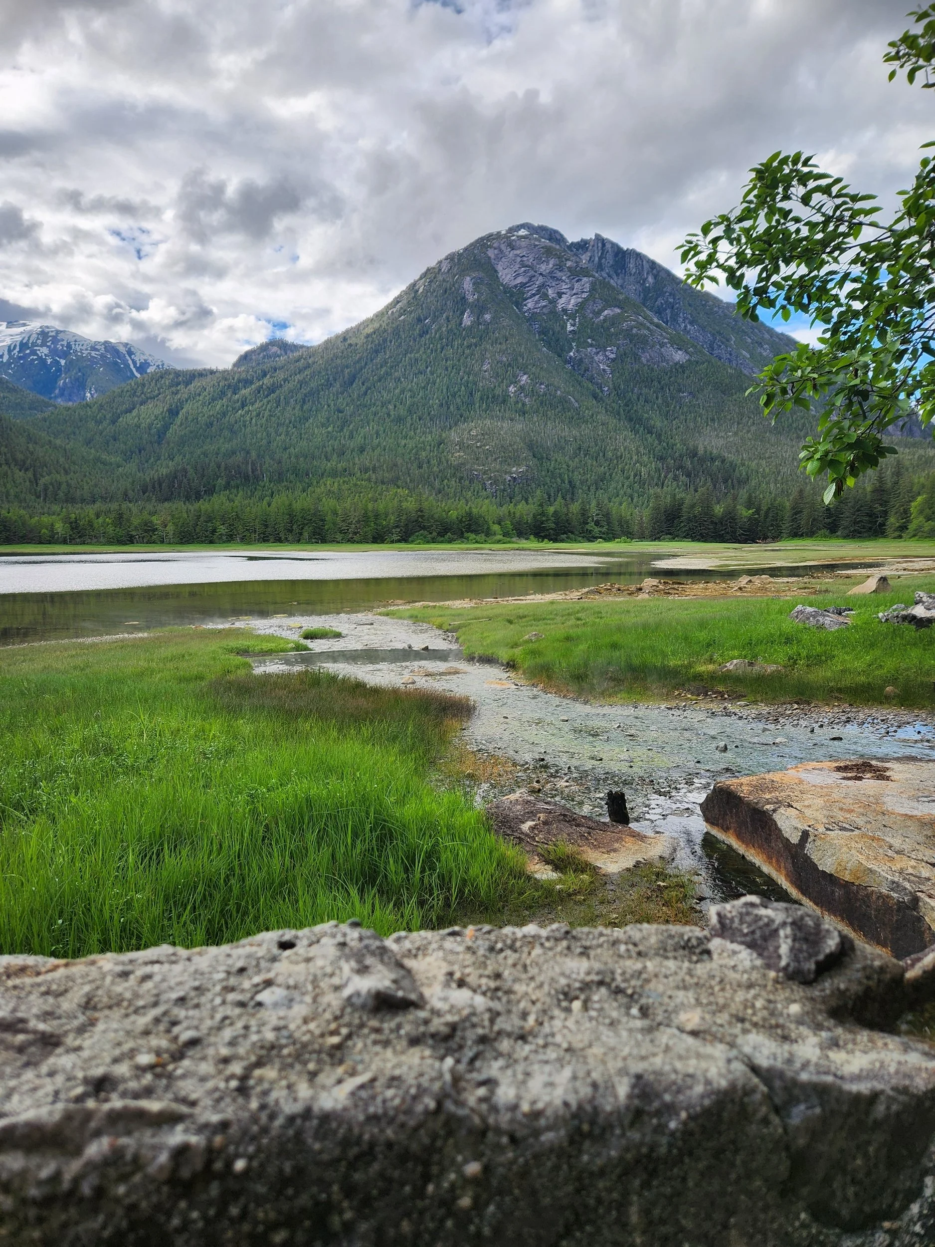
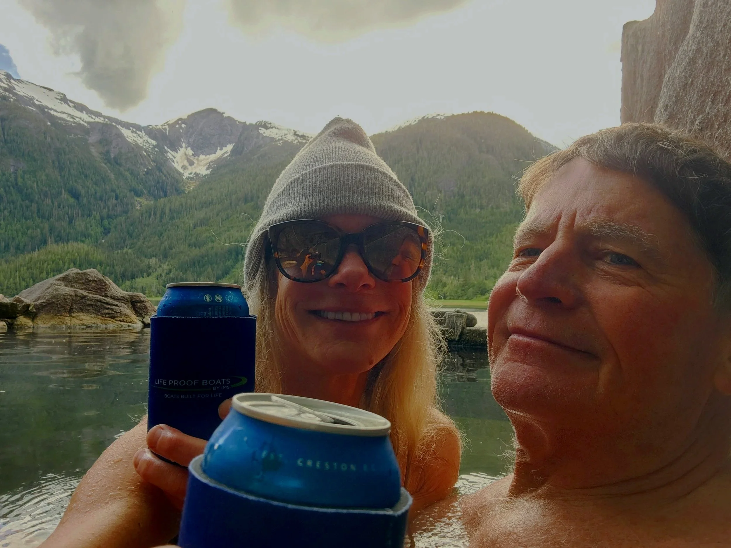
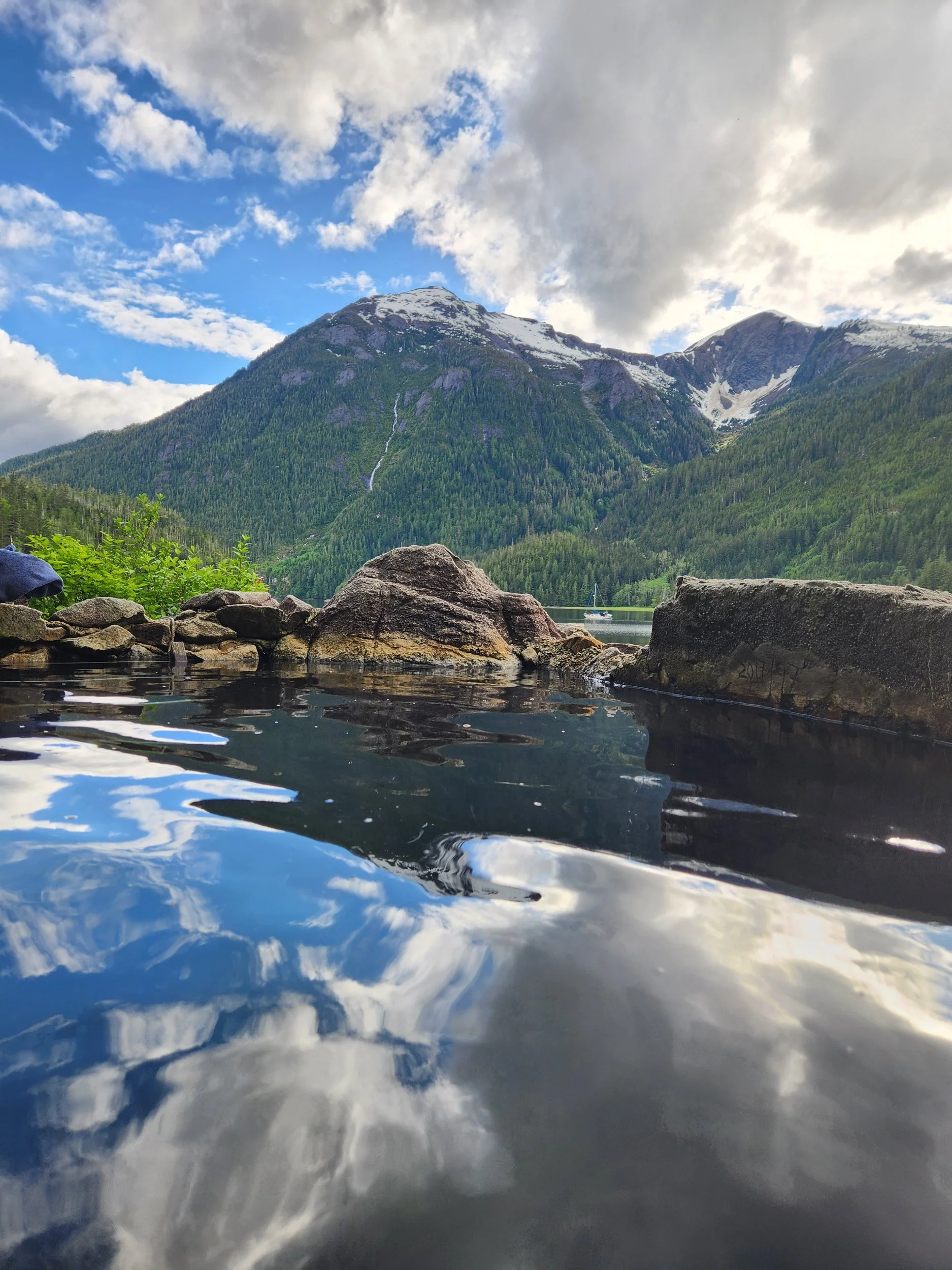
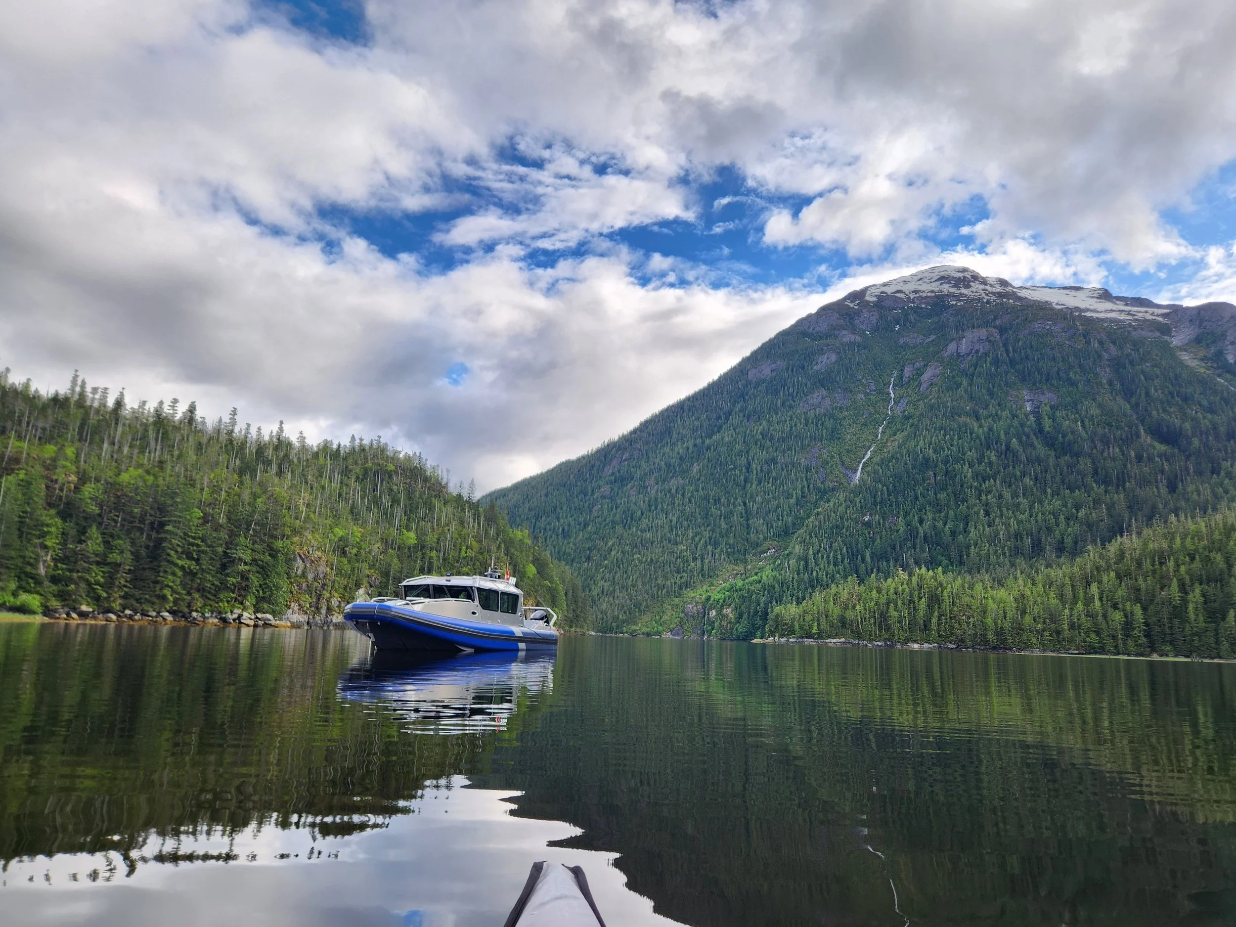
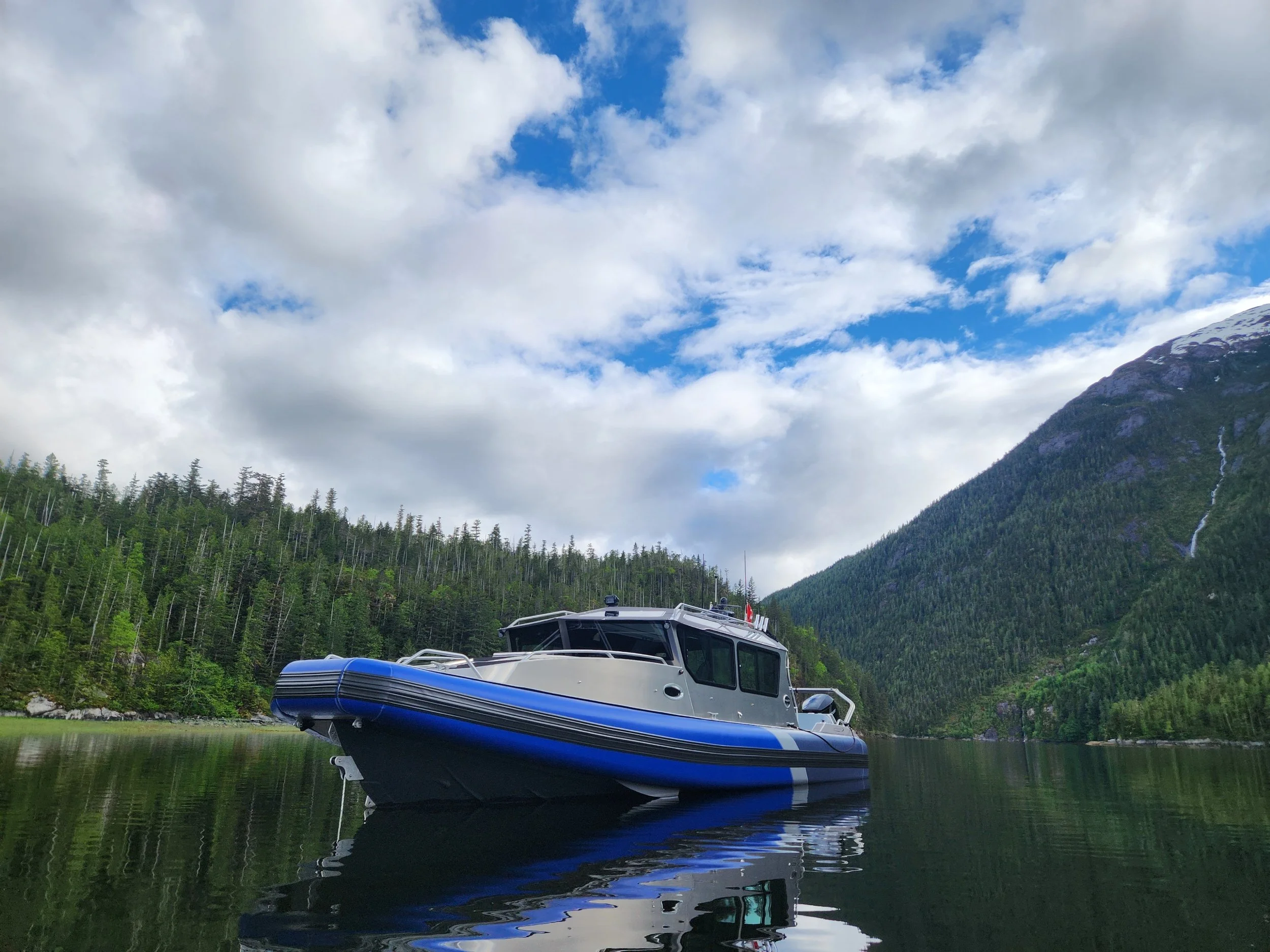
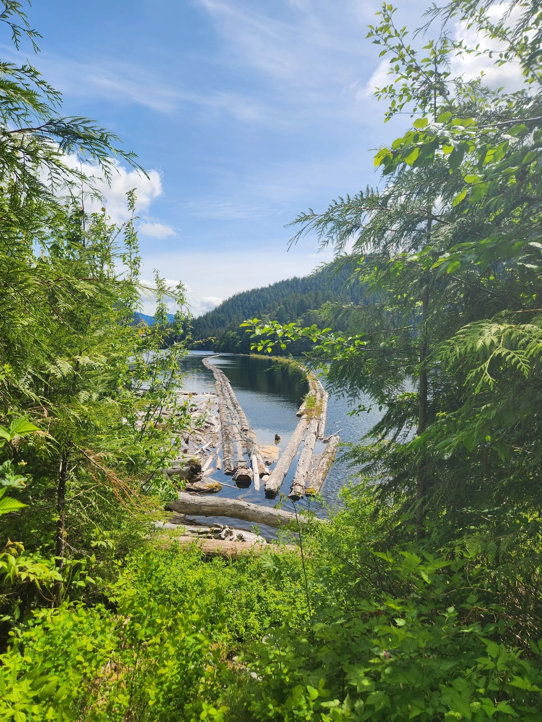
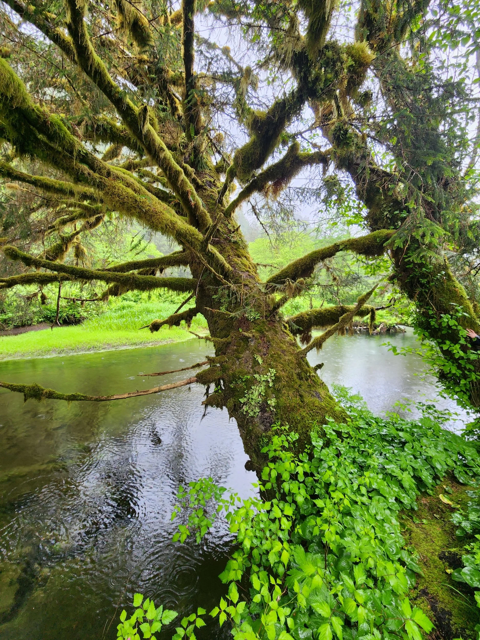
We spend a night at the tiny and busy dock at Bishop Bay. The locals have done a great job of collecting the hot water from the hot springs above. The local fisherman come in and hang out and drink beer and leave a lure with their boat name on it. Thank goodness for the fast flow of water in the pool that allows it to clears quickly. We also were in early before I saw all the patrons parade by later in the evening…enough said…
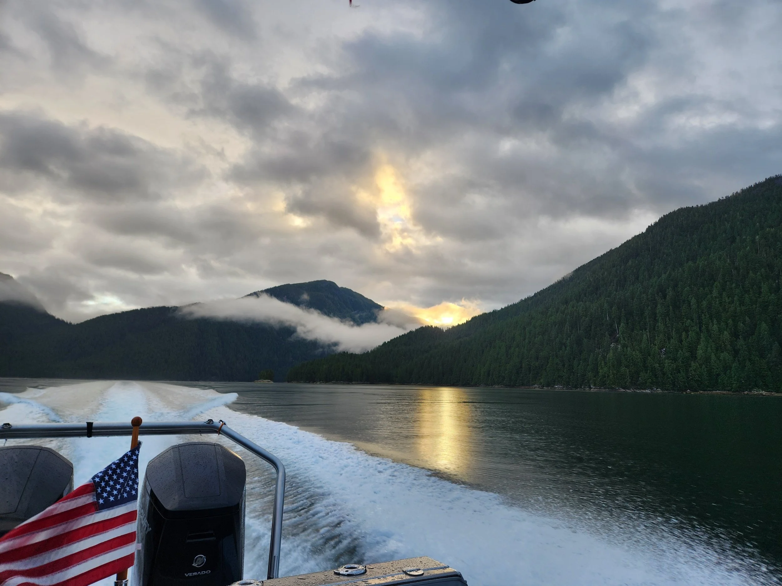
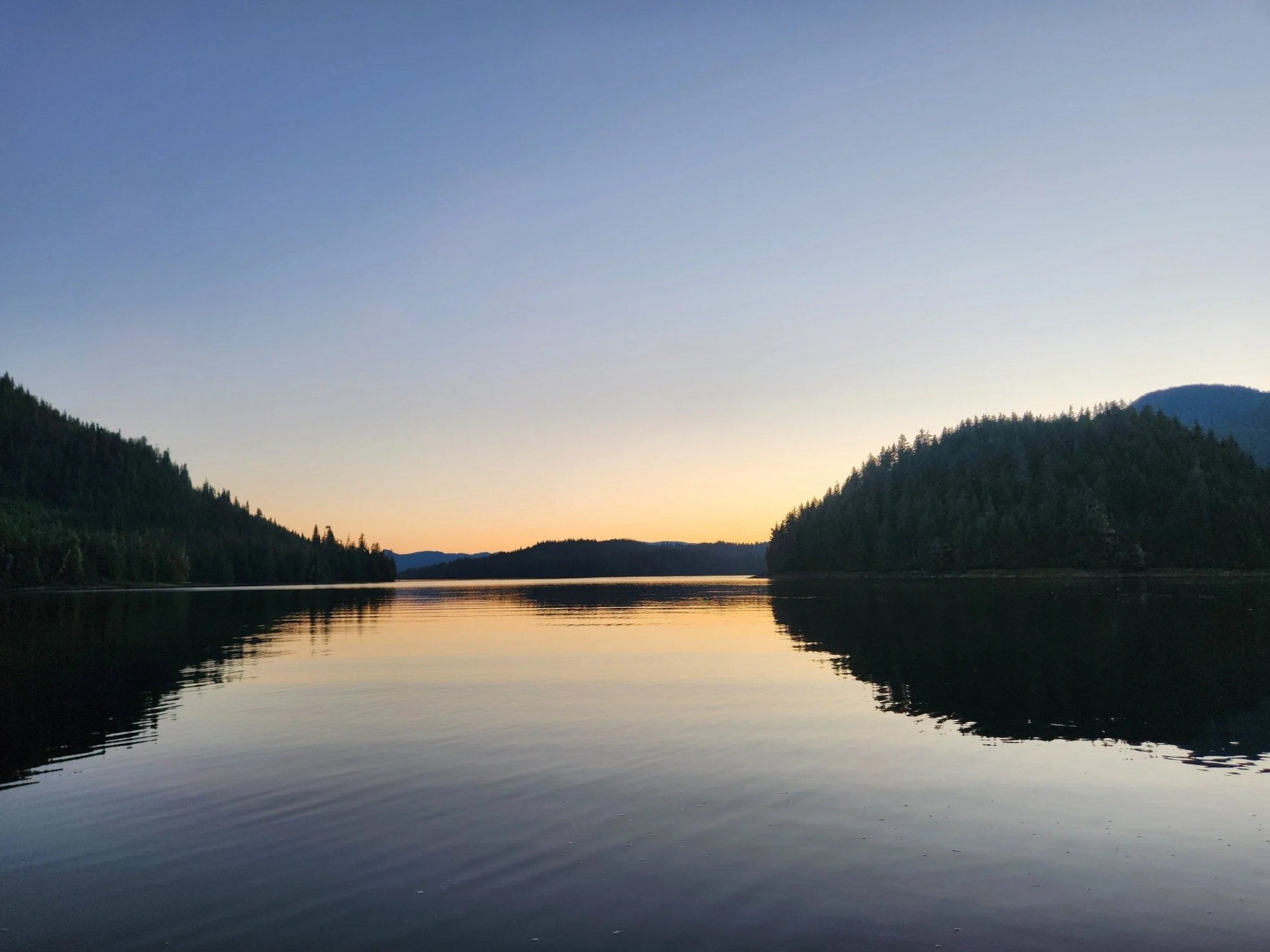
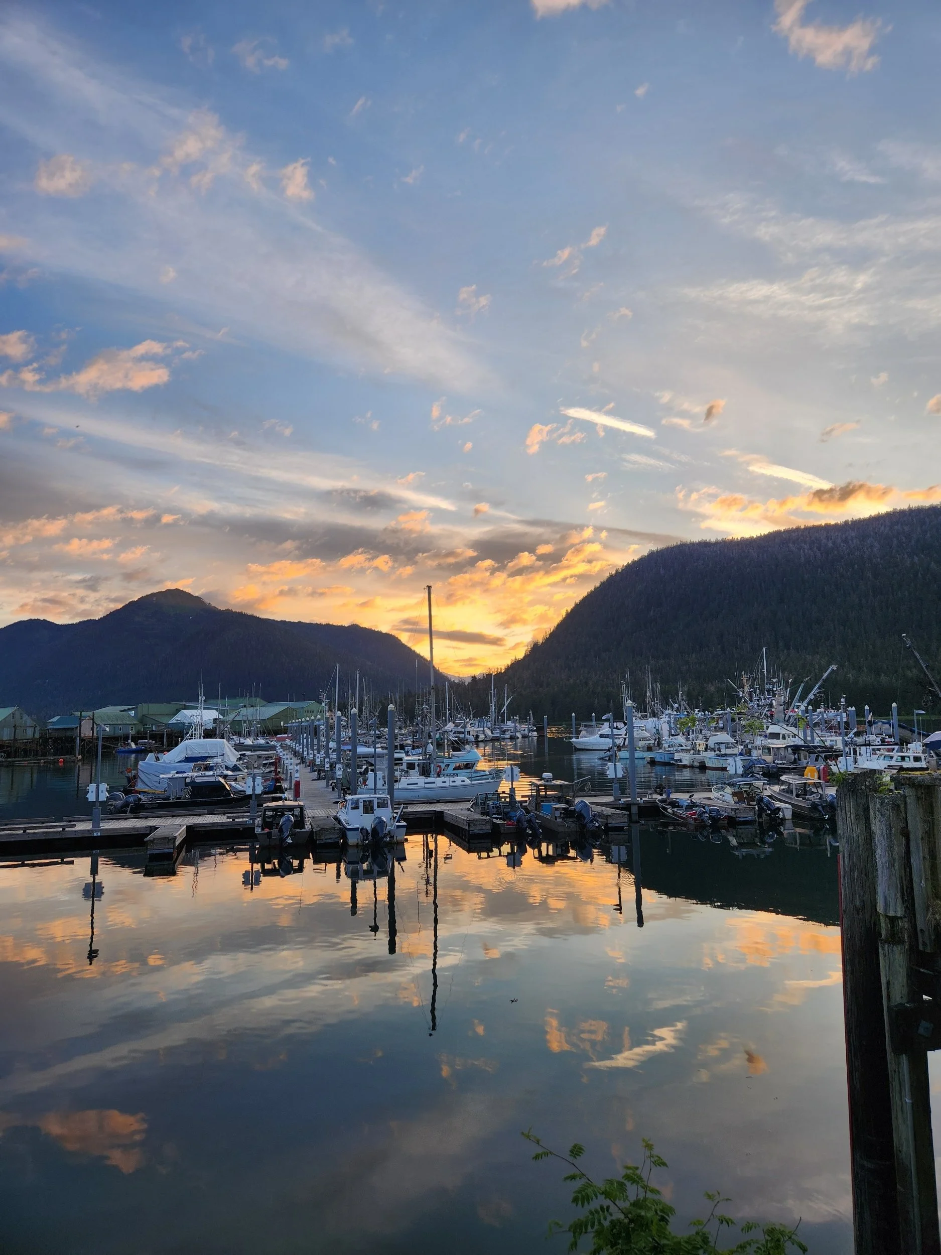
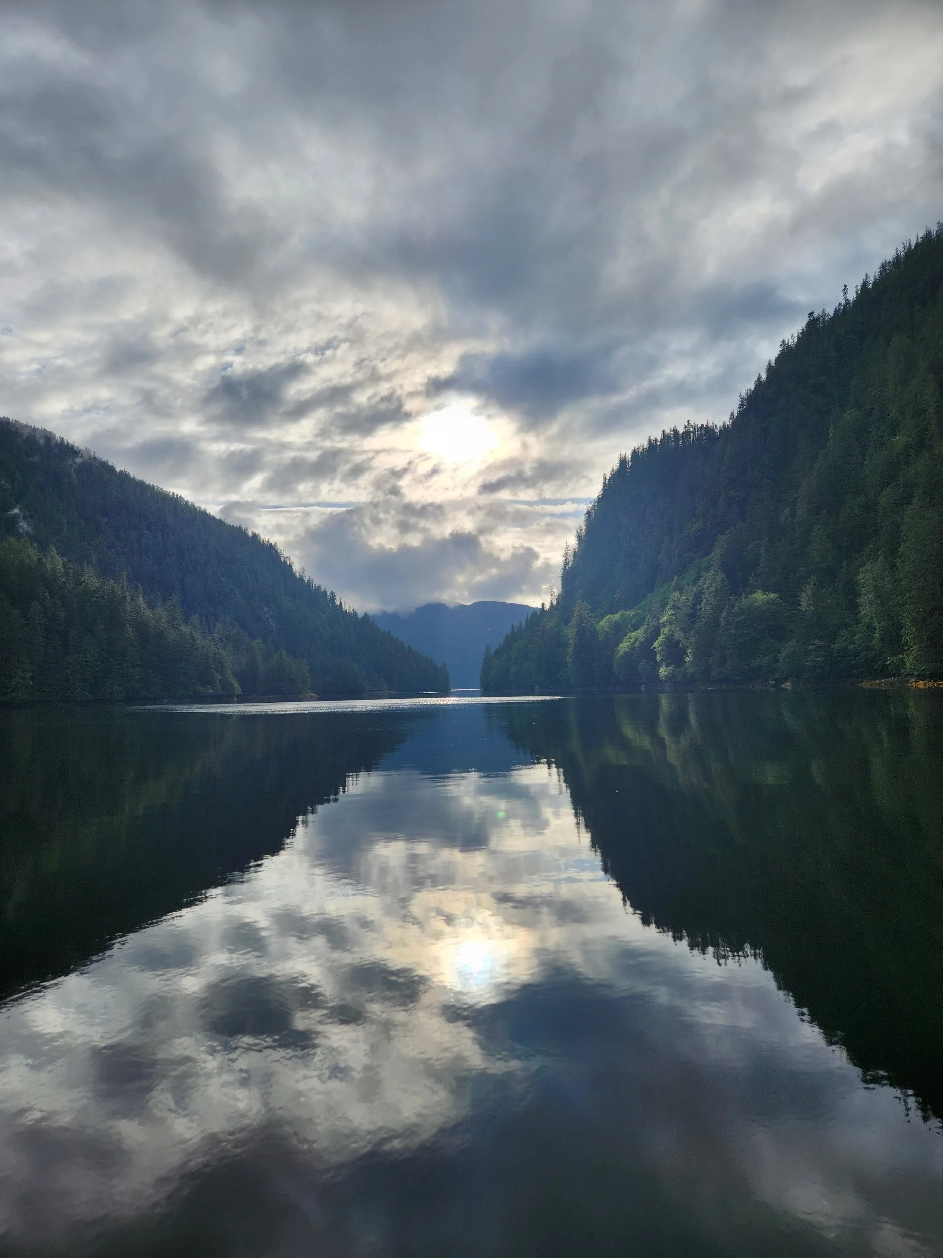
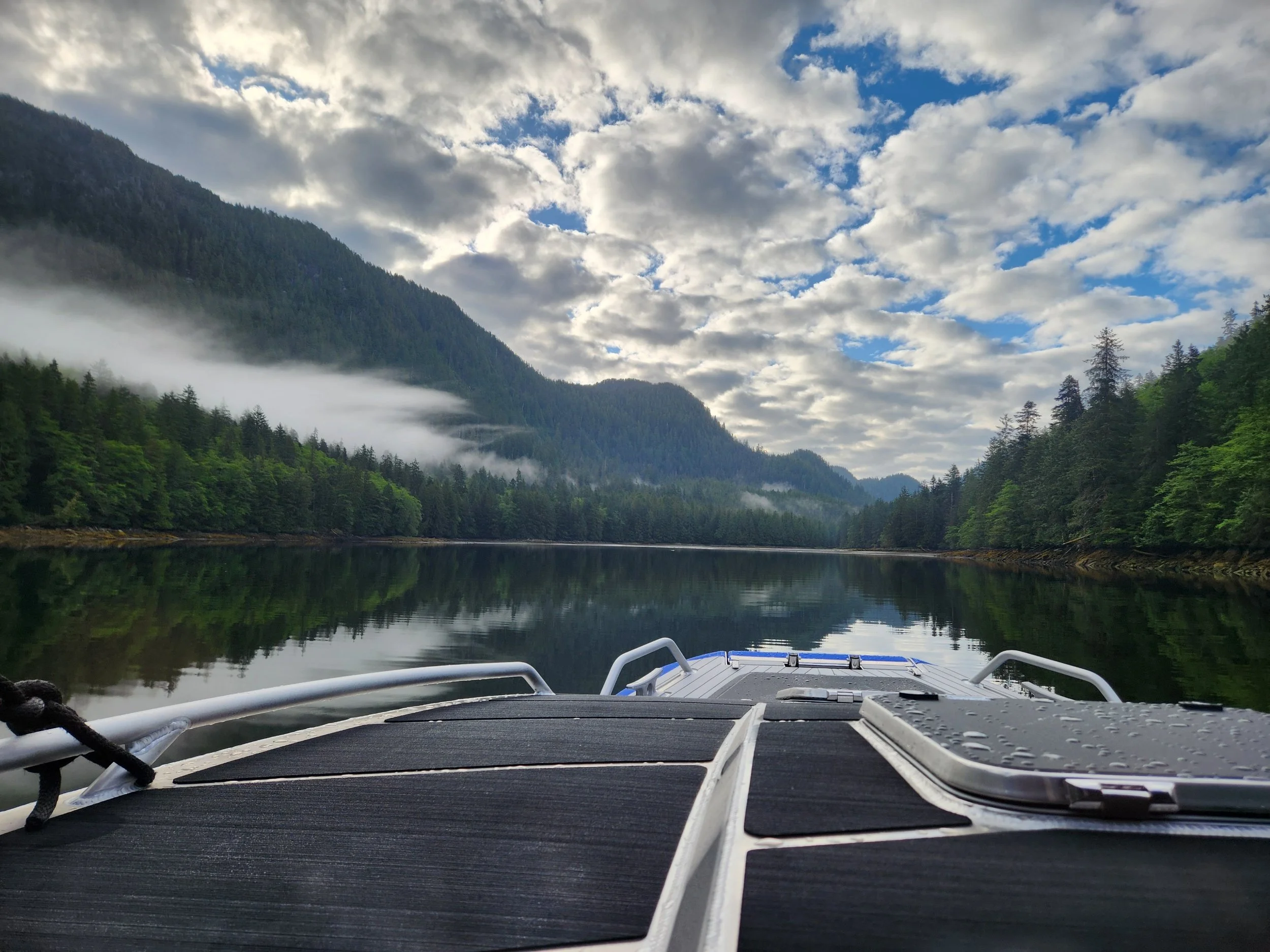
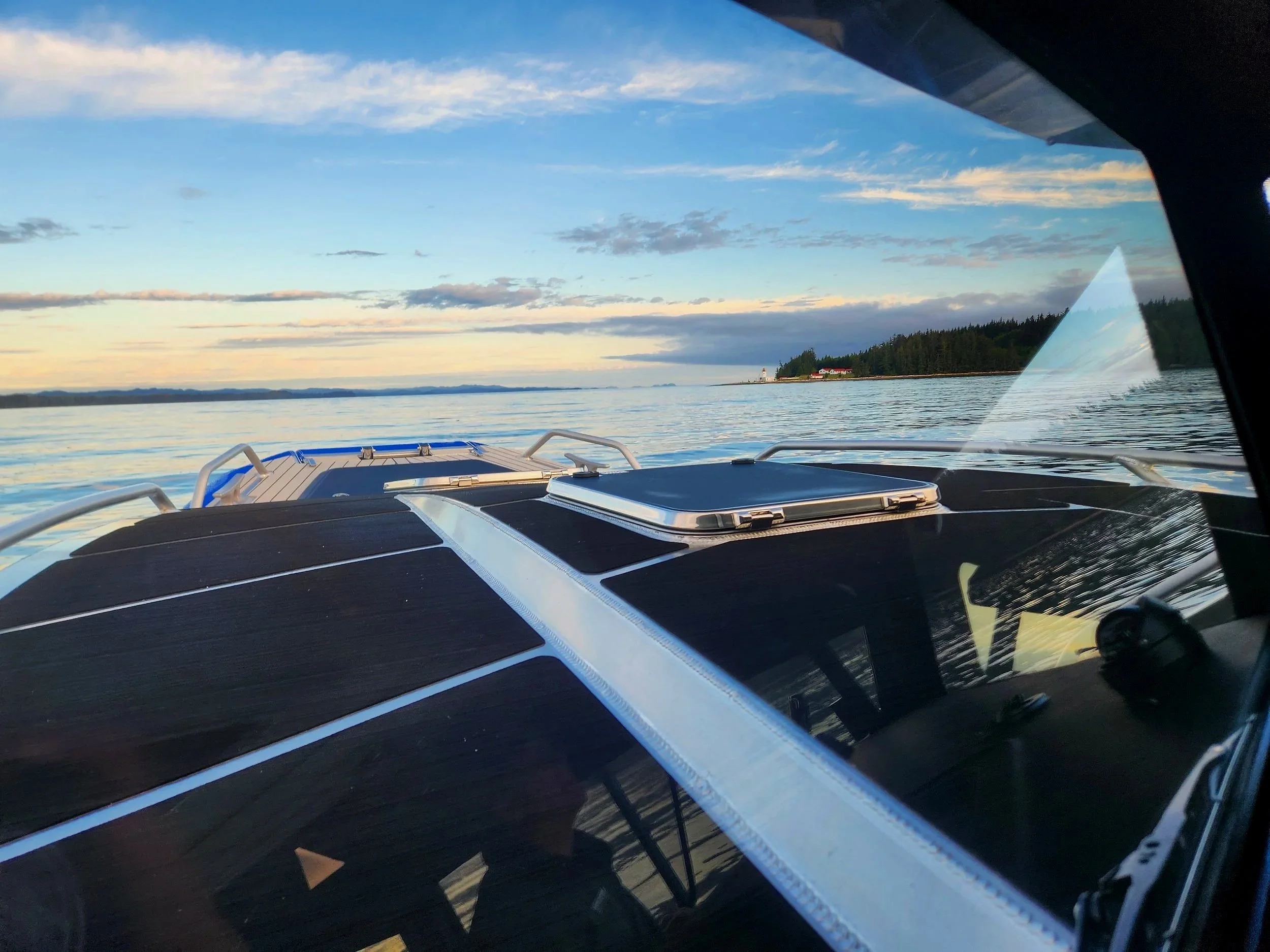
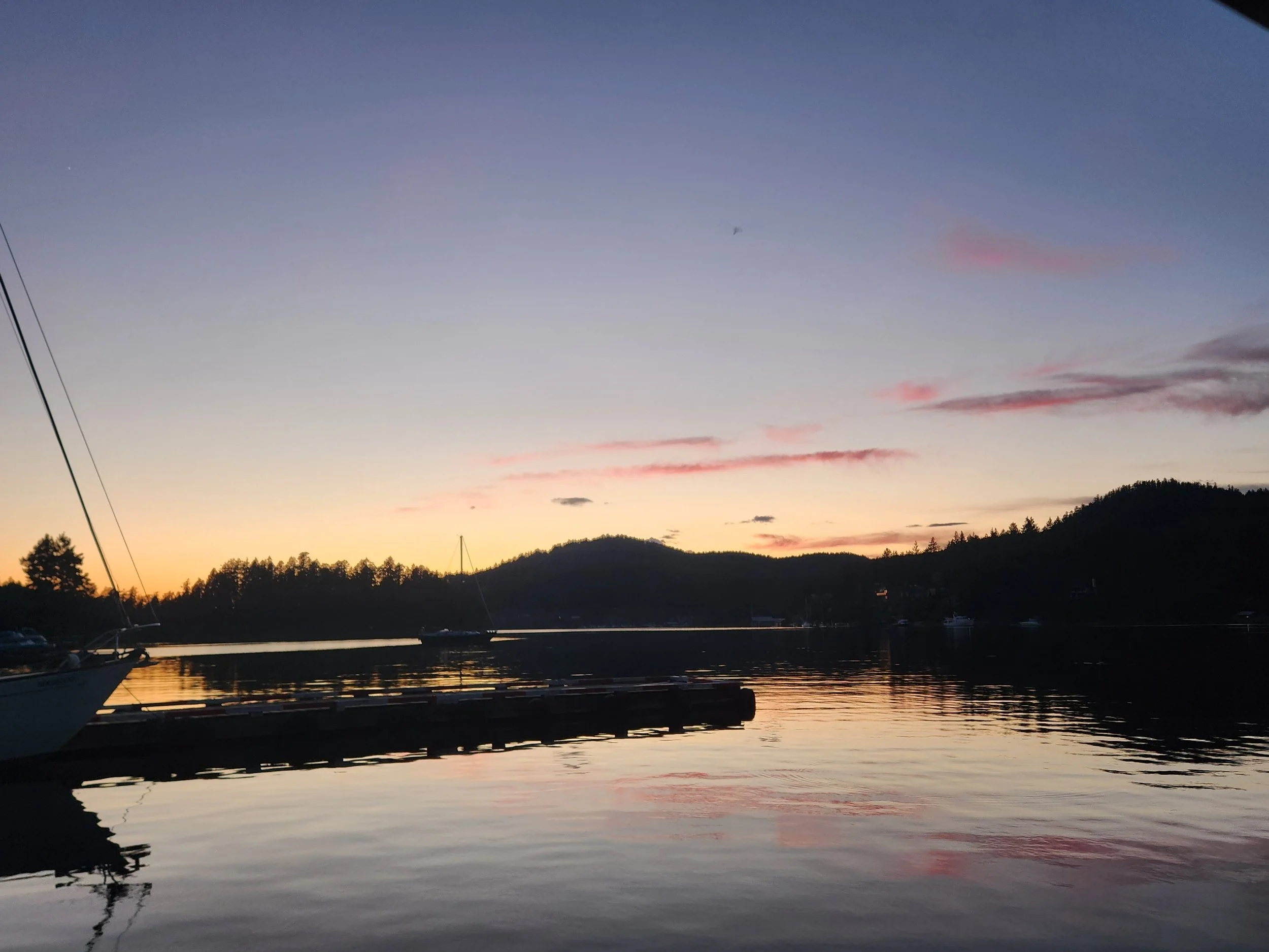
Sunrise behind us as we head to Shearwater
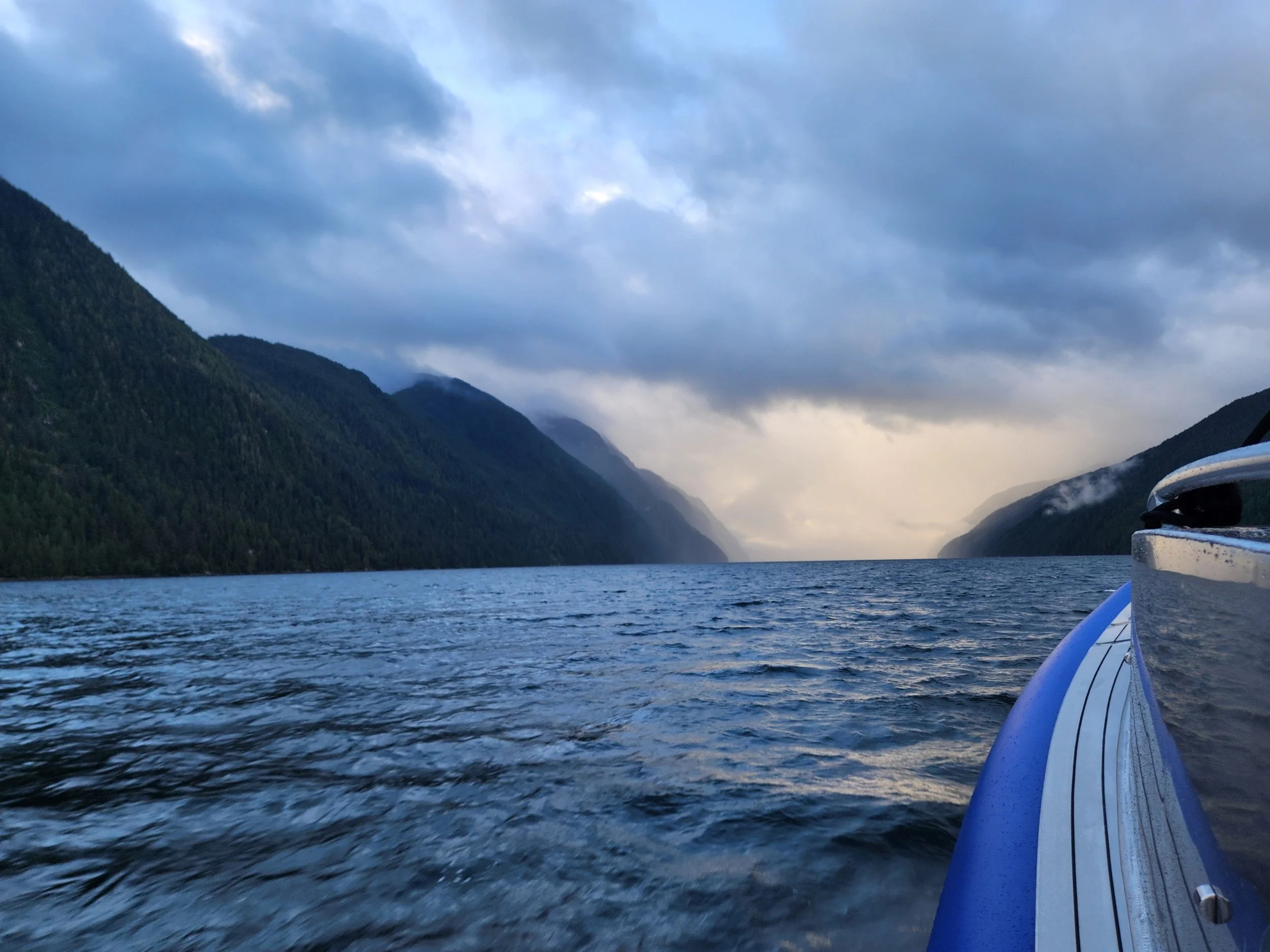
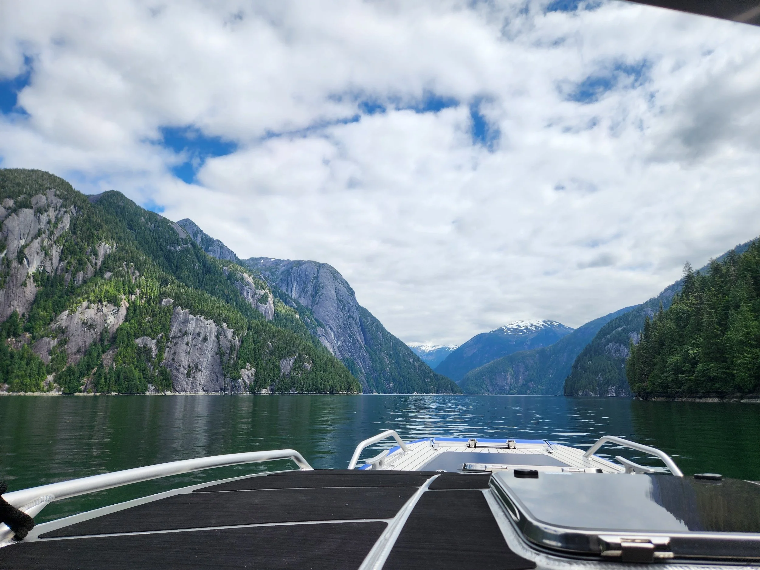
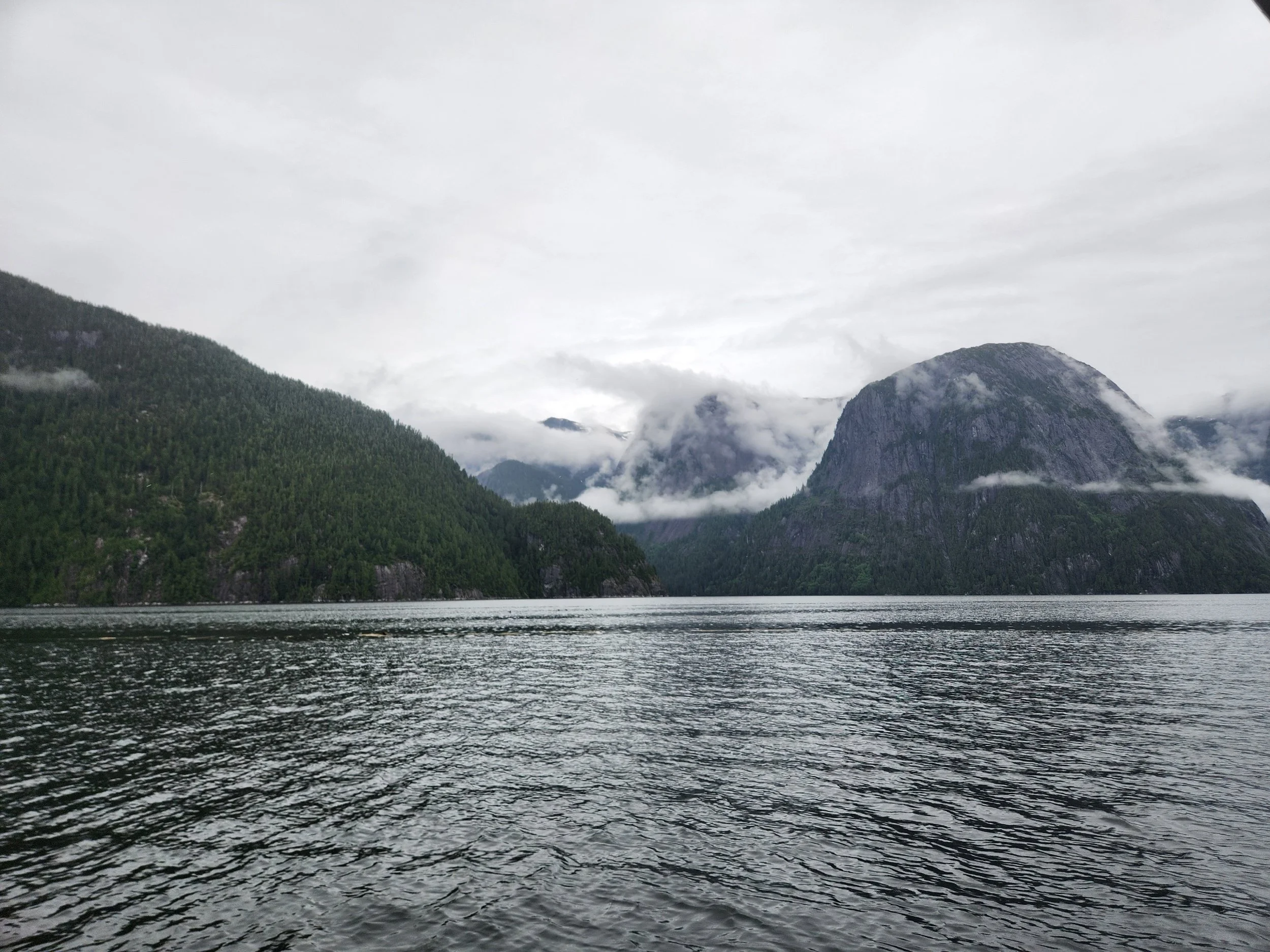
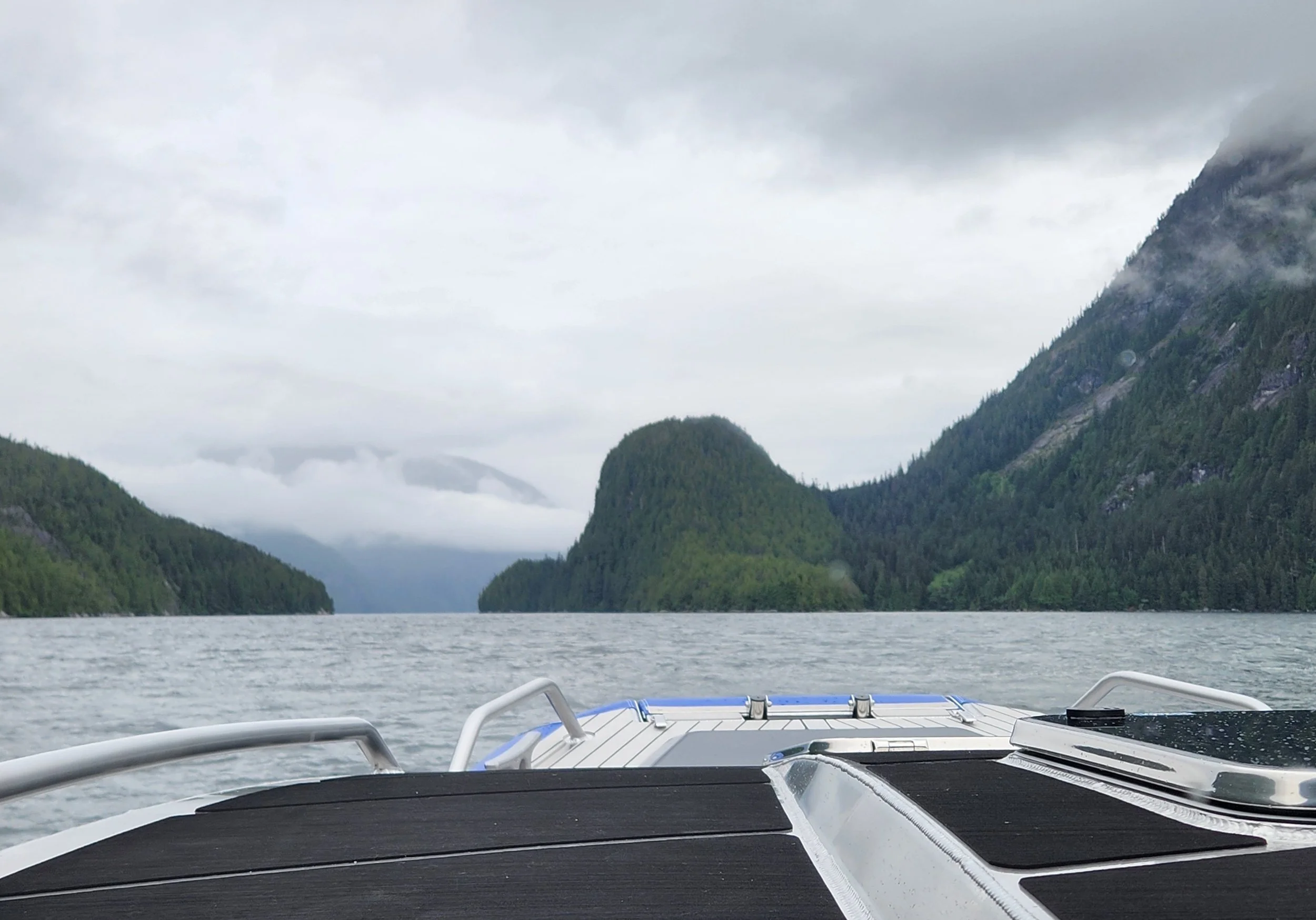
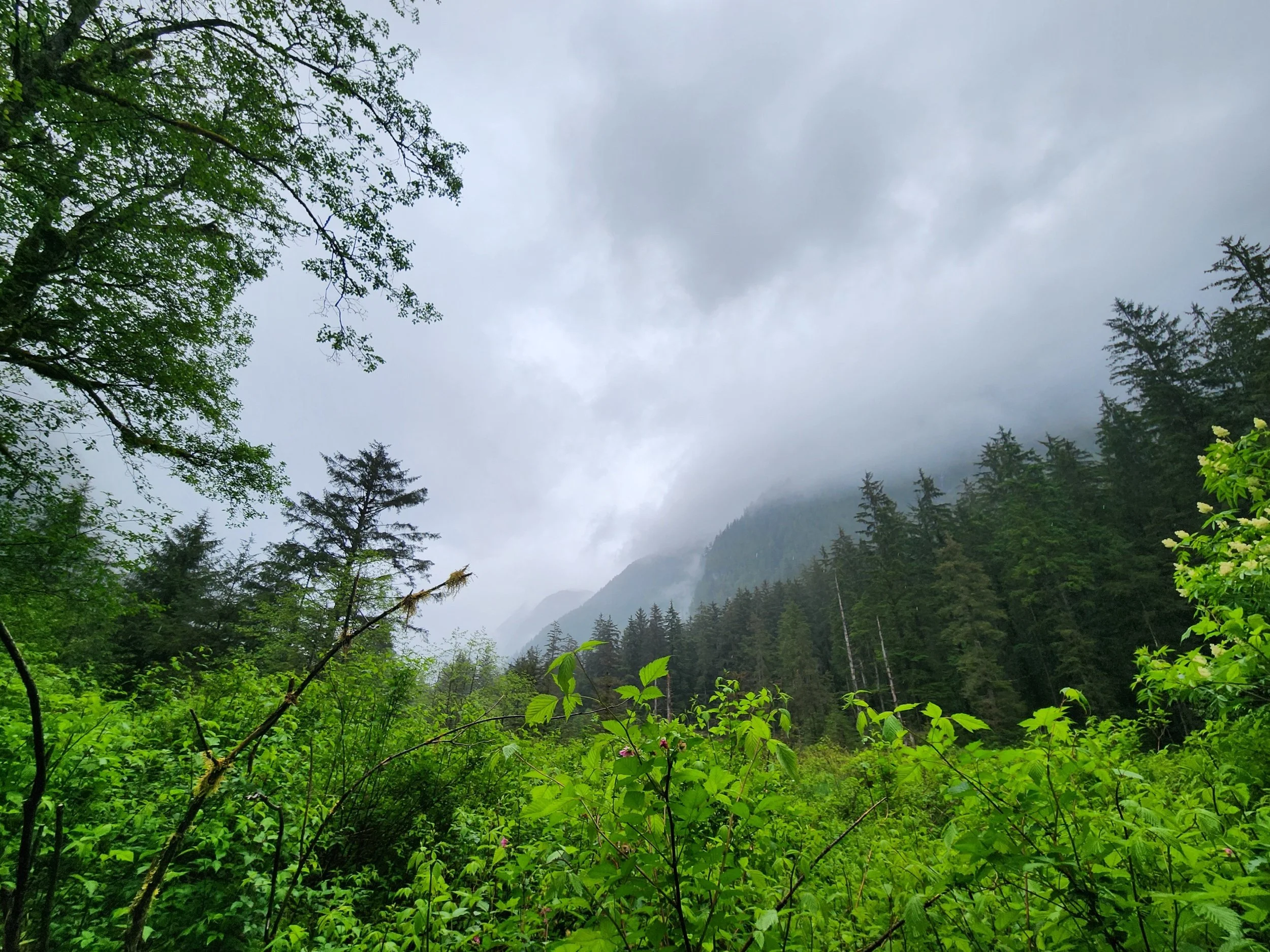
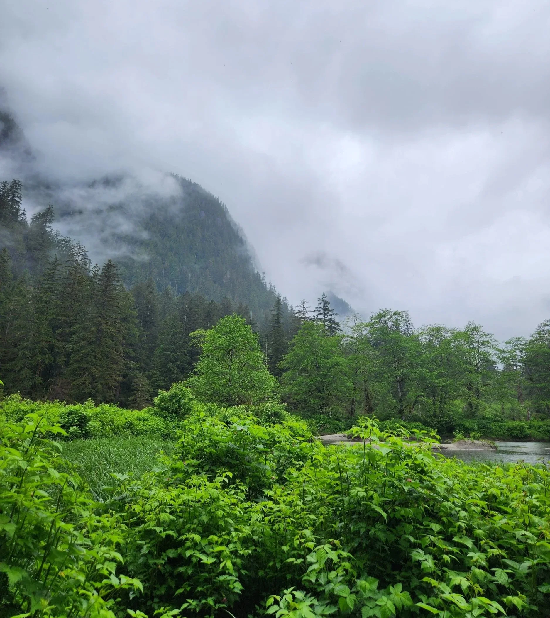
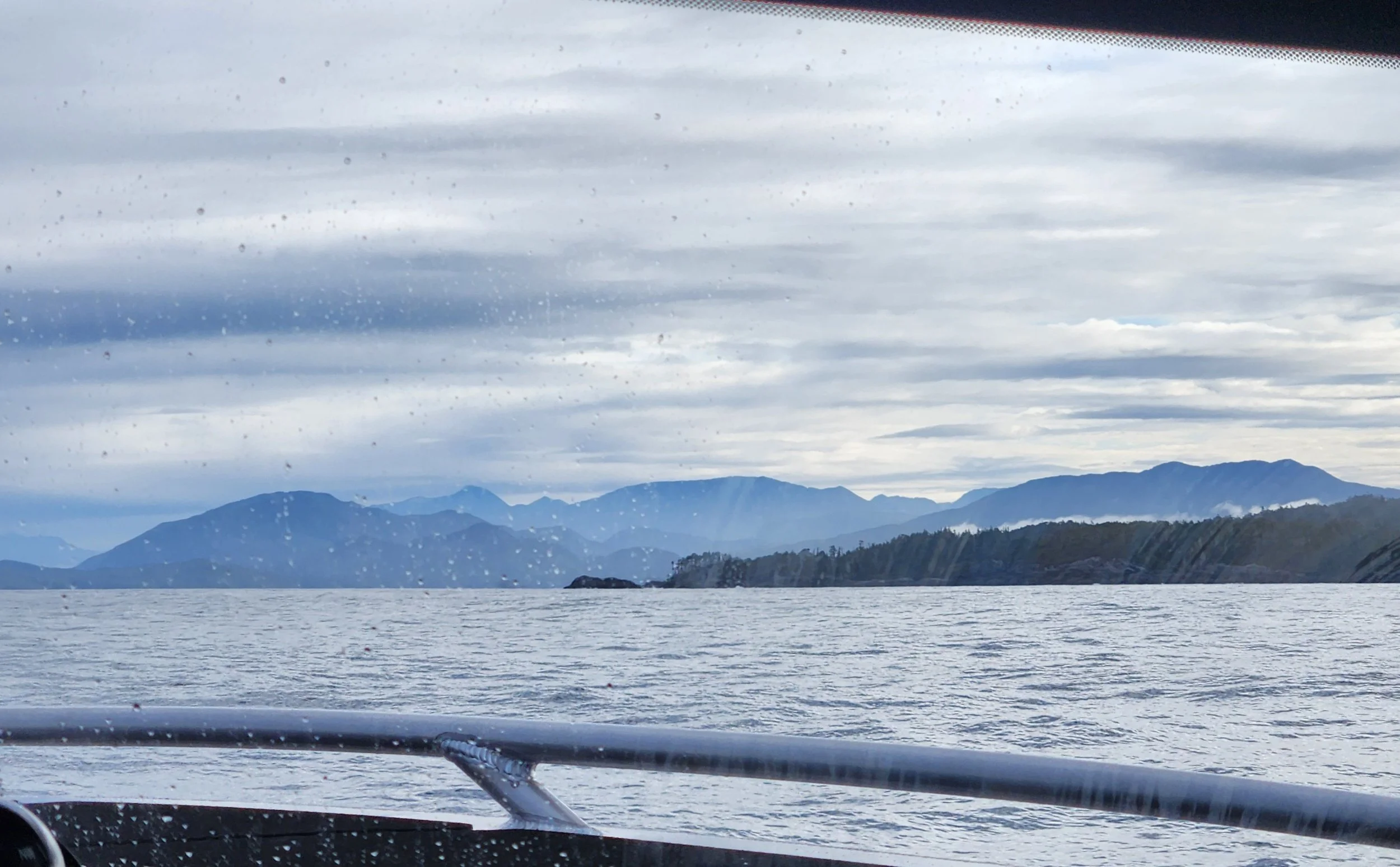
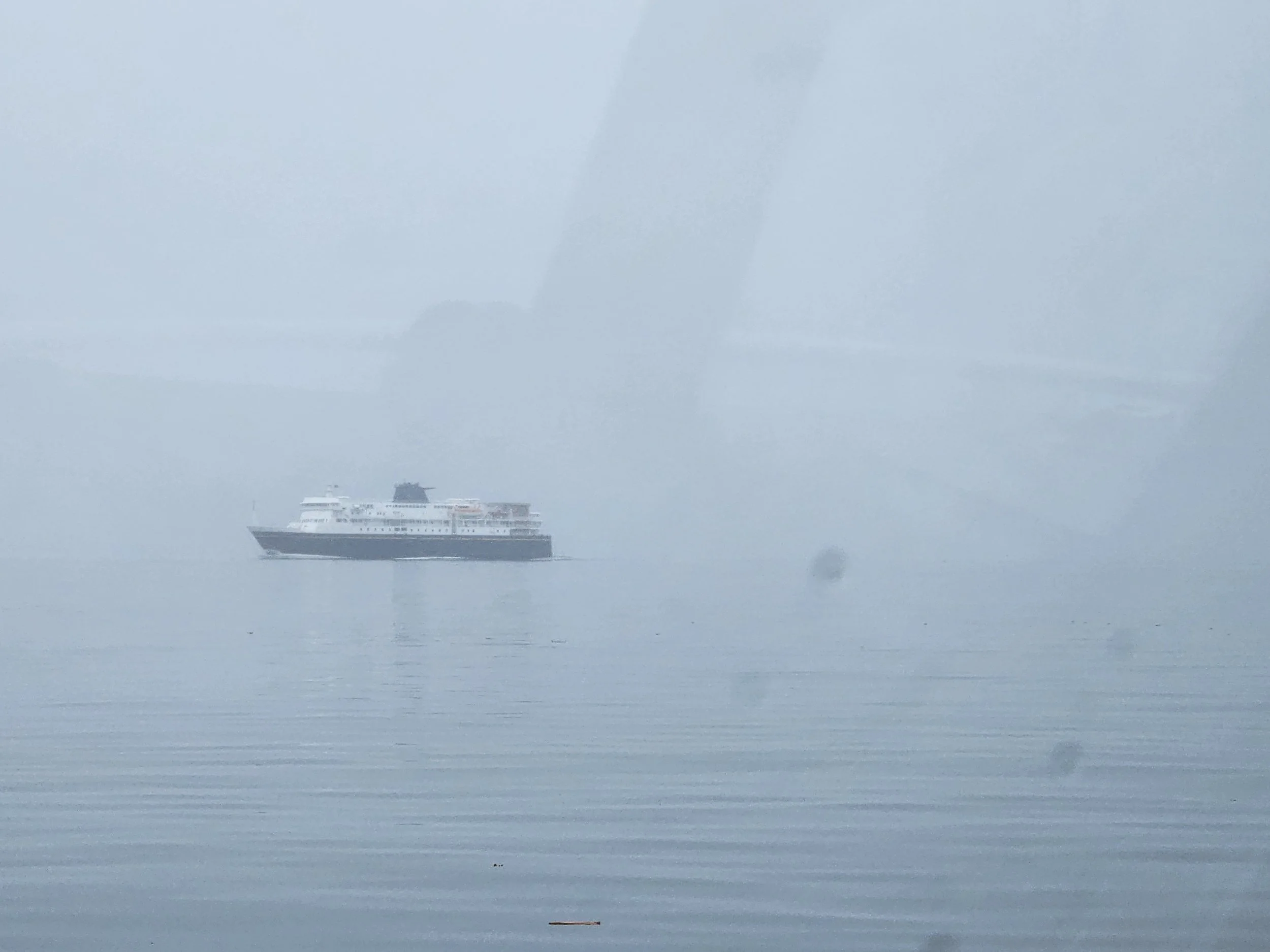
Dramatic looking weather ahead, but it turns our to just be fog and rain.
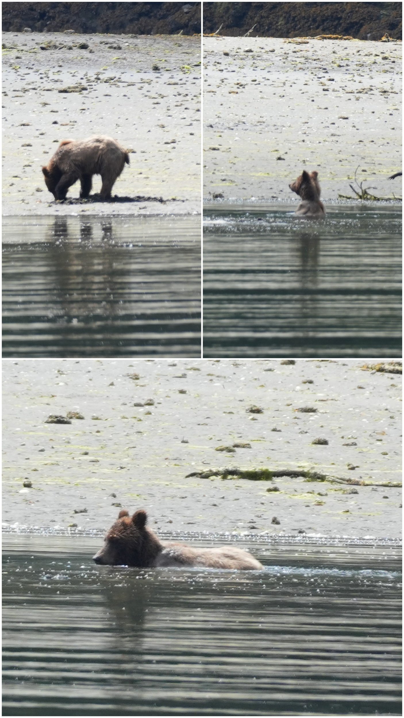
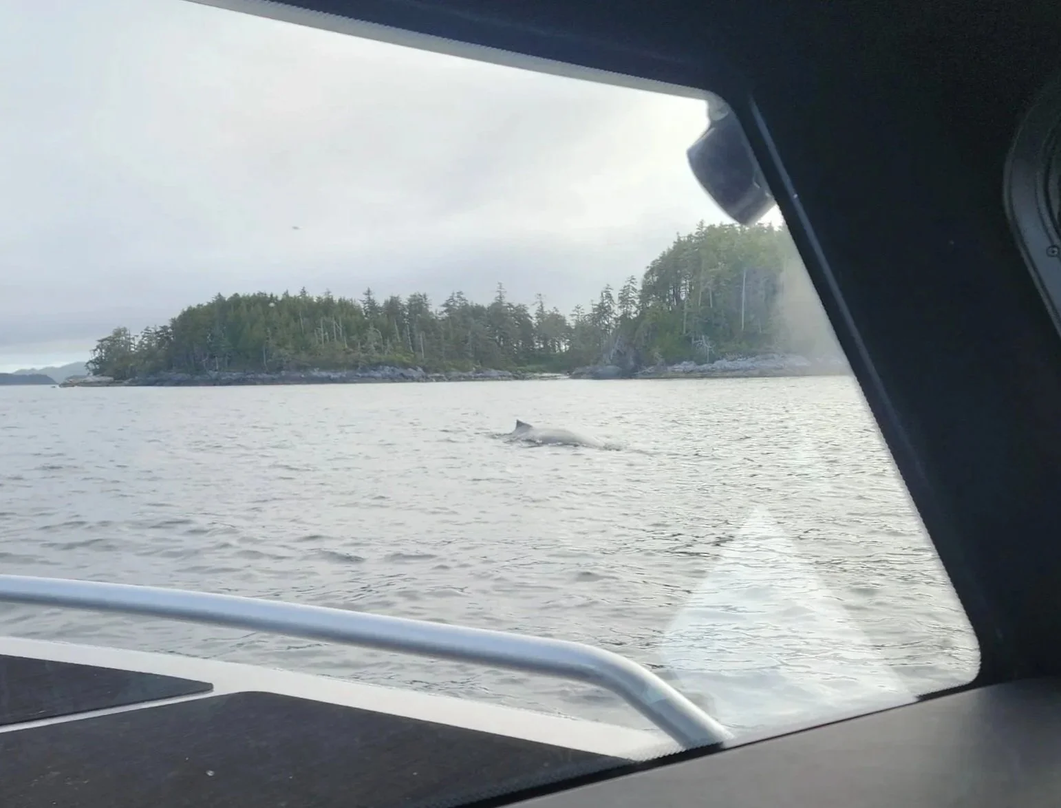
We were so fortunate to come upon a young (small) Humpback Whale bubble feeding. You can see the ring he is blowing below the water to corral the fish or krill. I did not get a still of him coming up but I will put the video on Instagram - independenceii_lifeproof
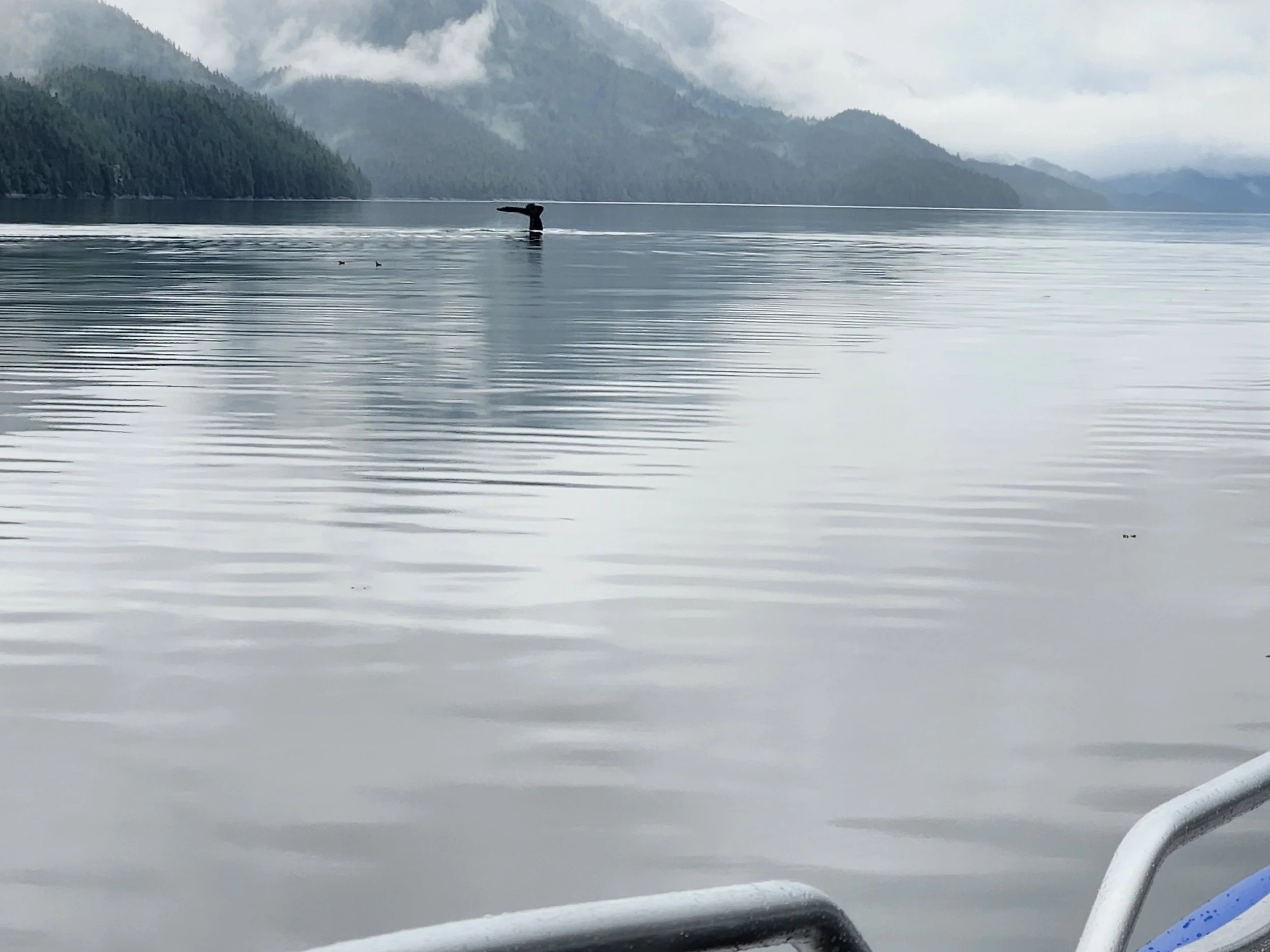
Down again to bubble and scoop
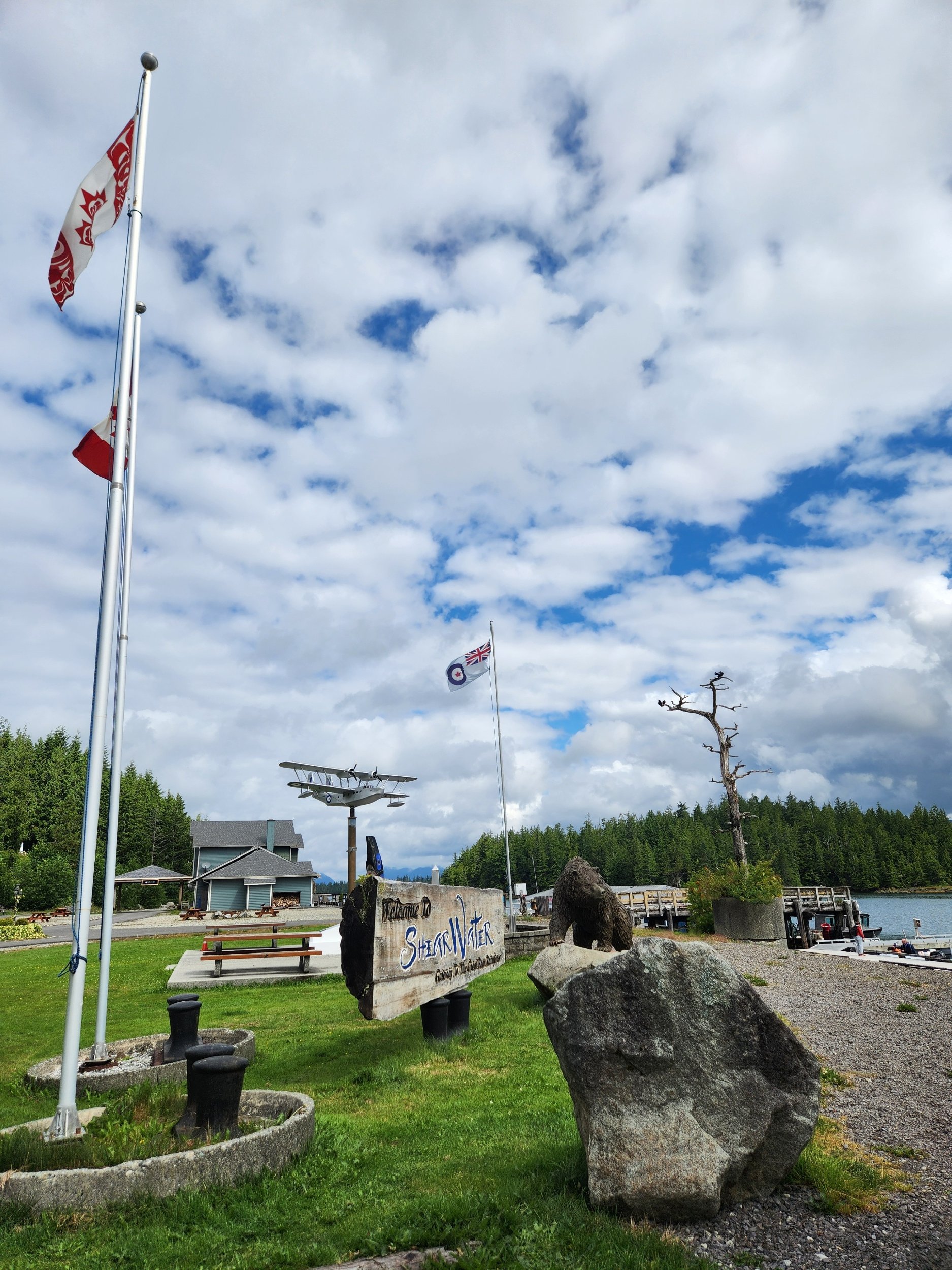
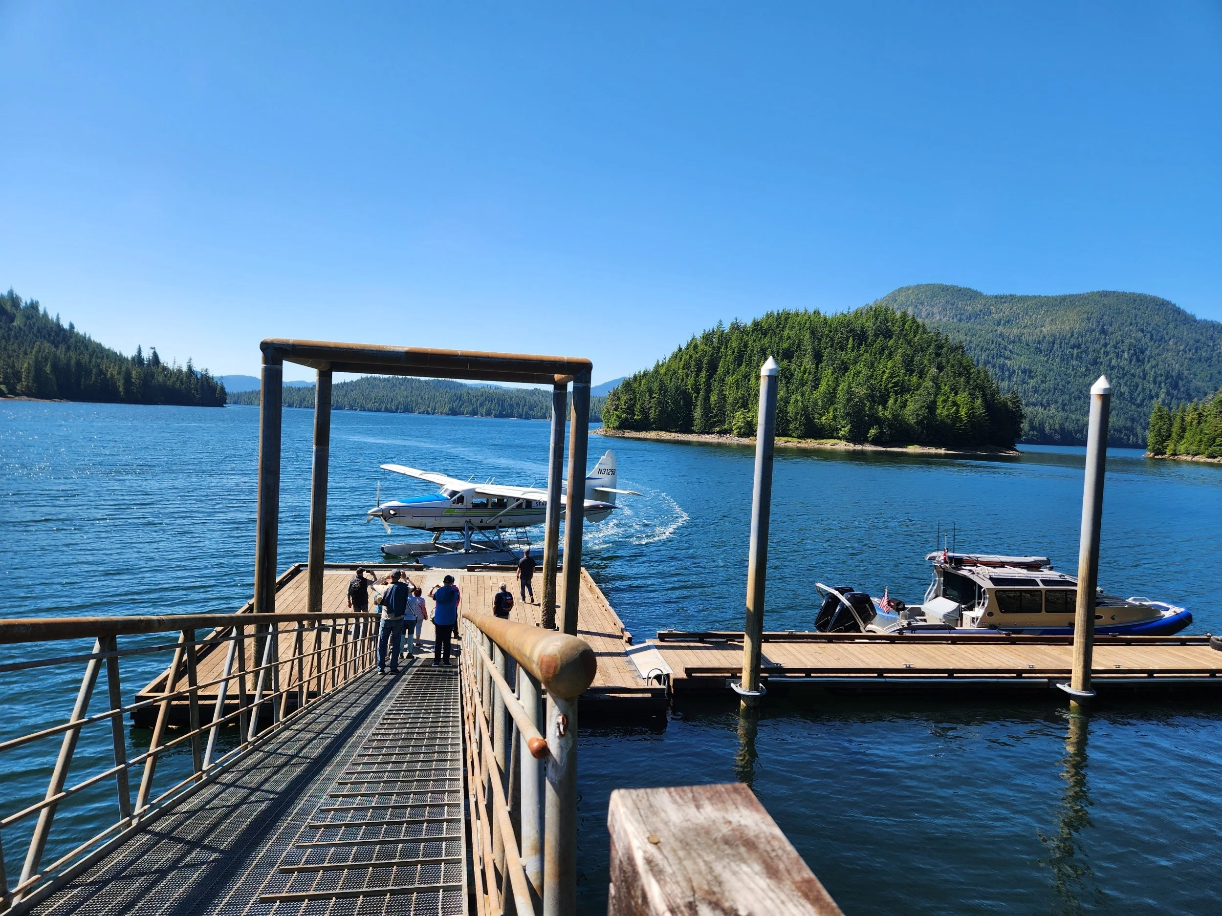
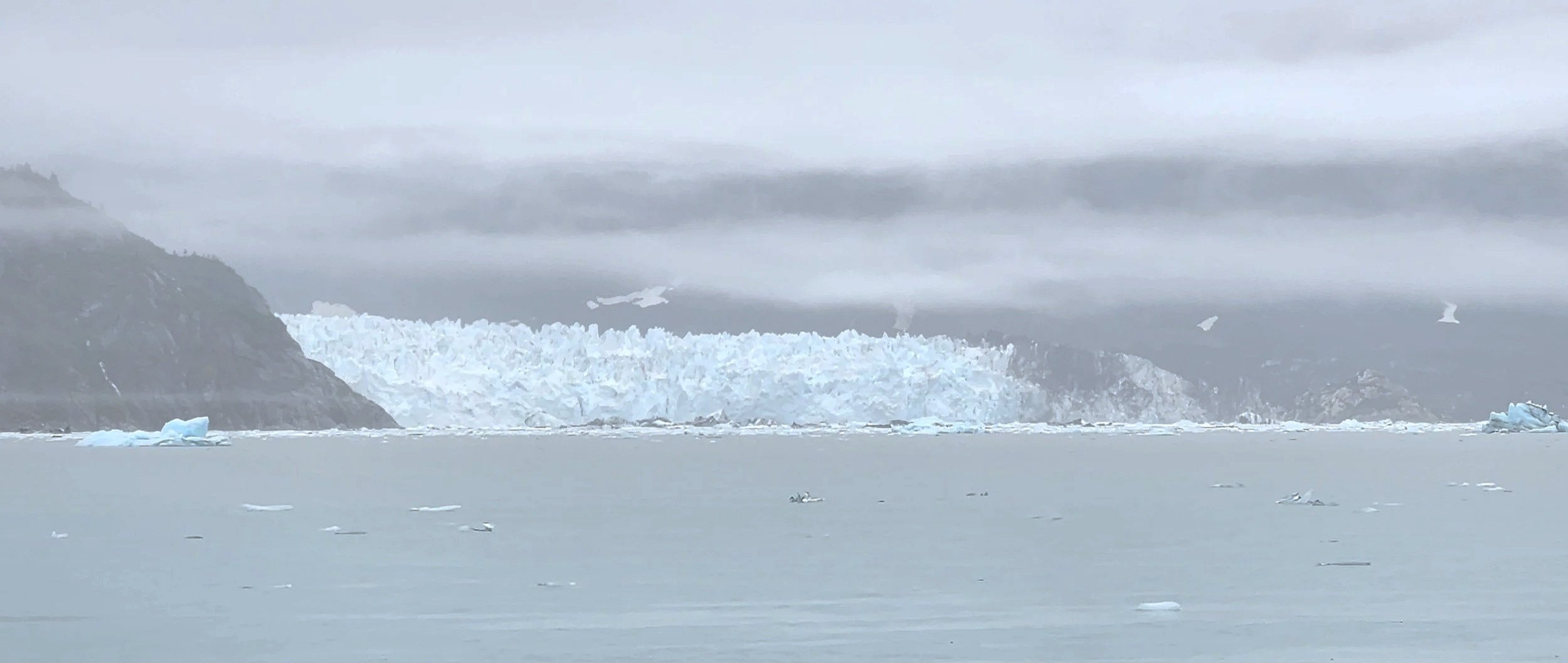
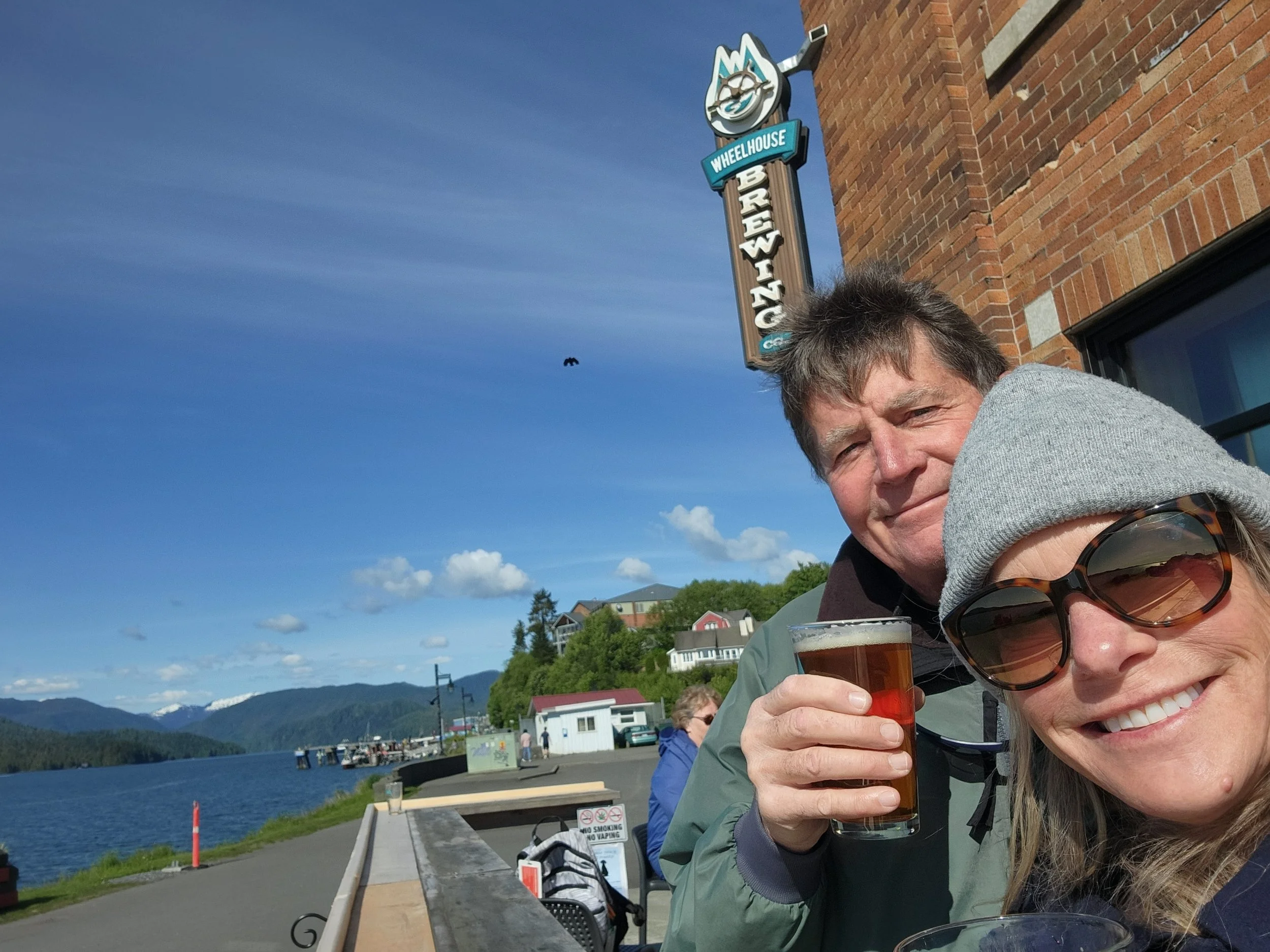
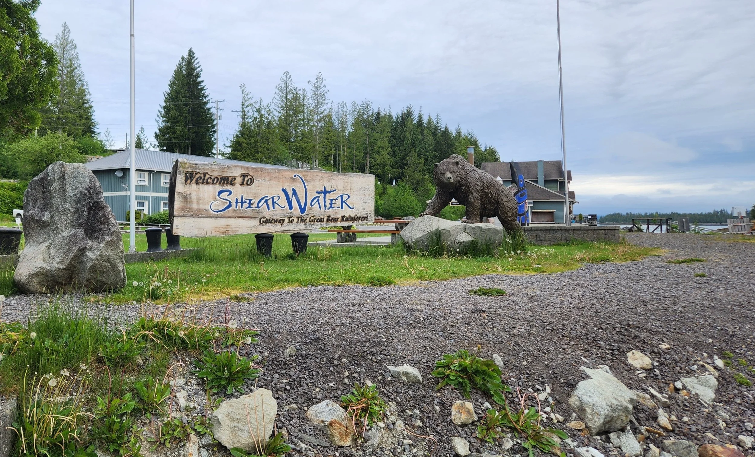
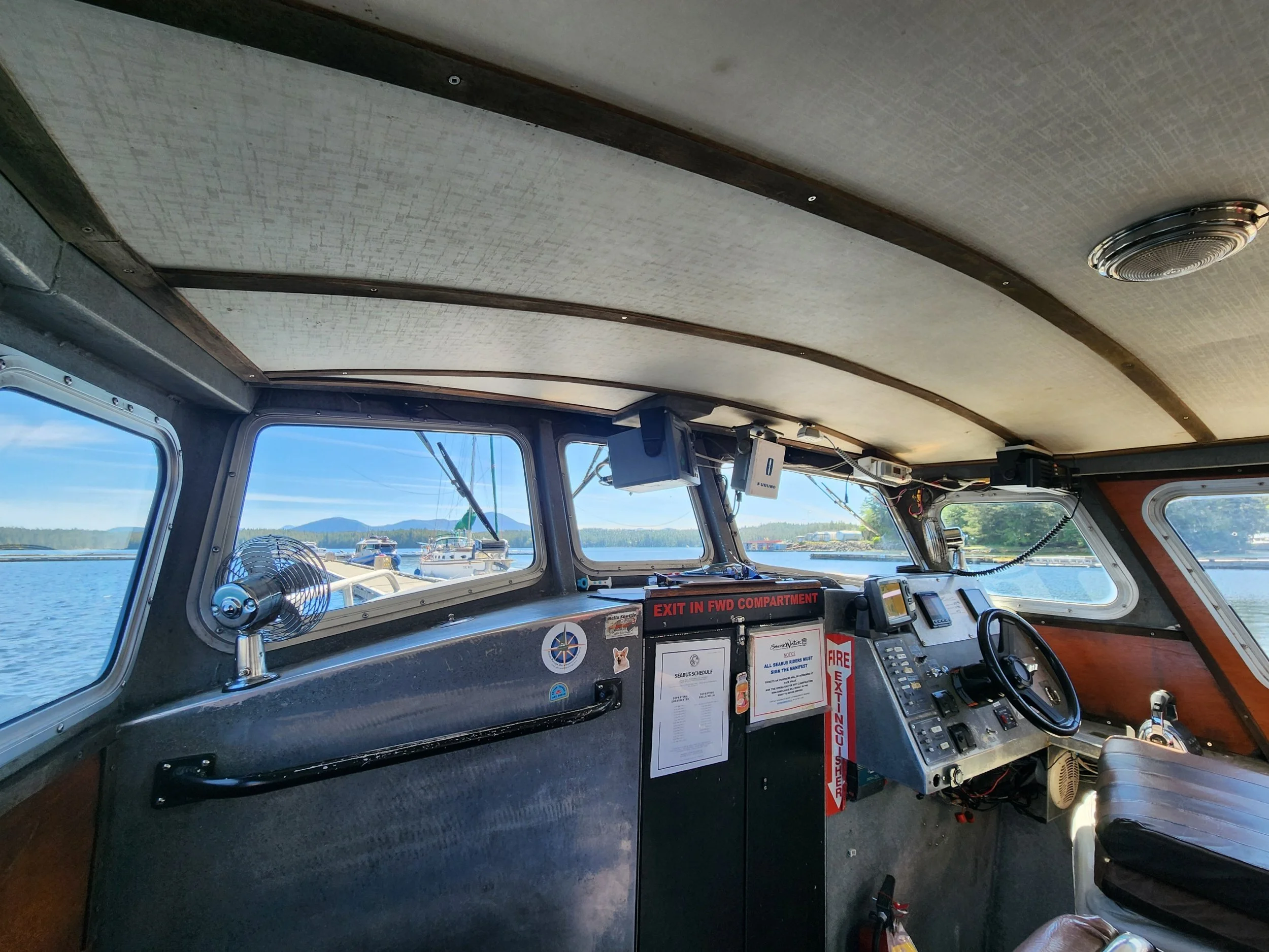
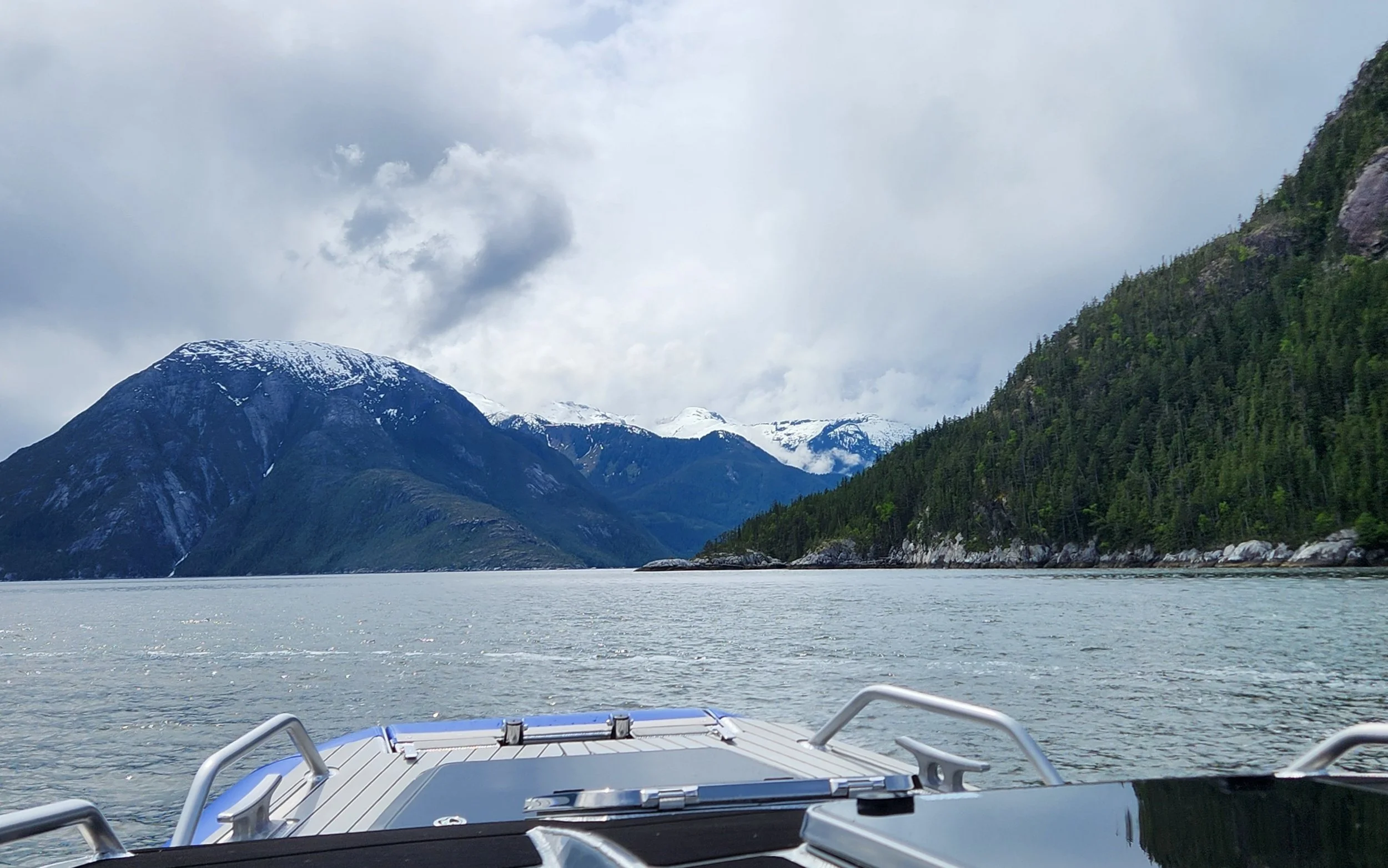
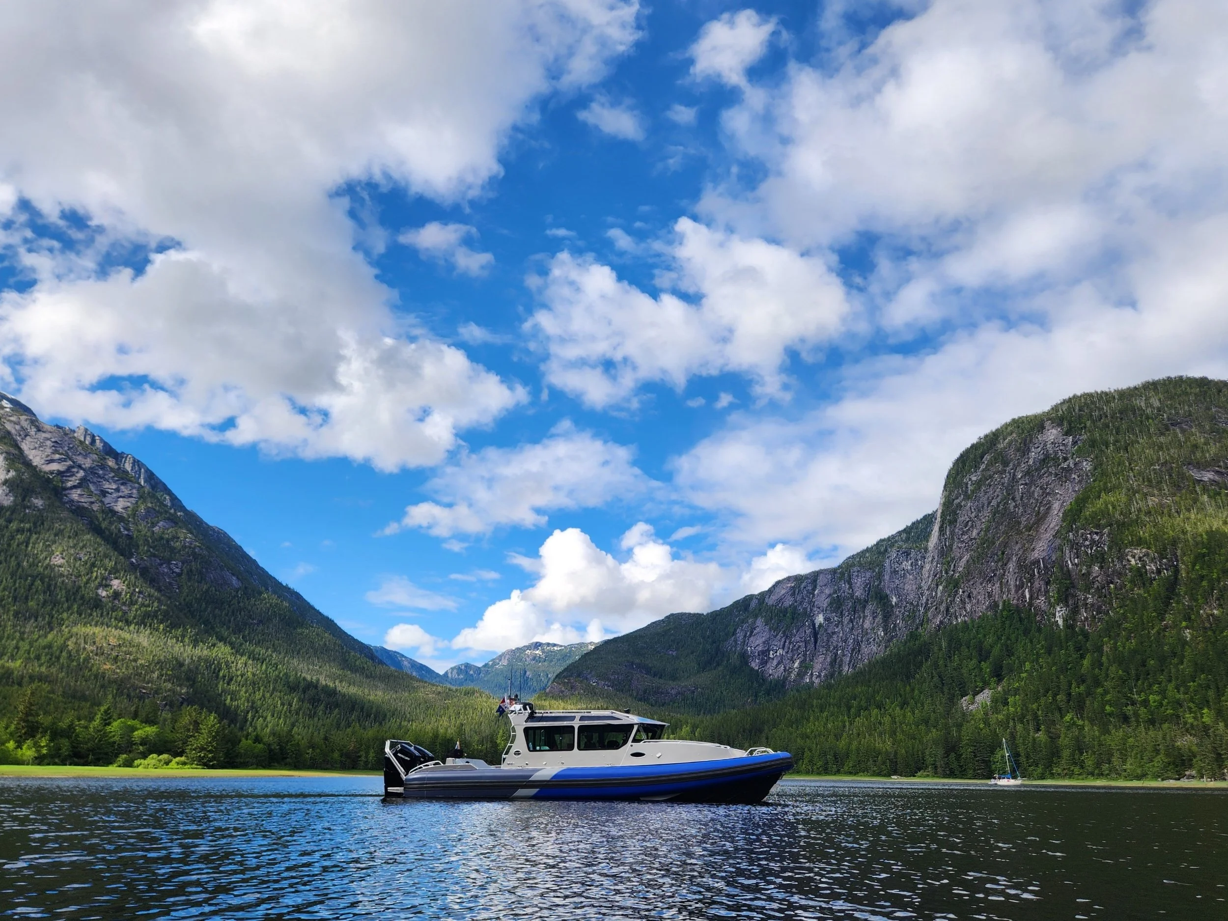
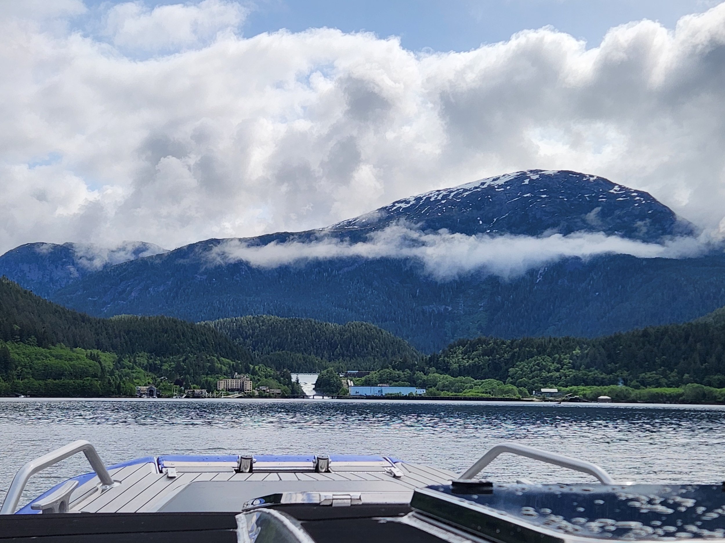
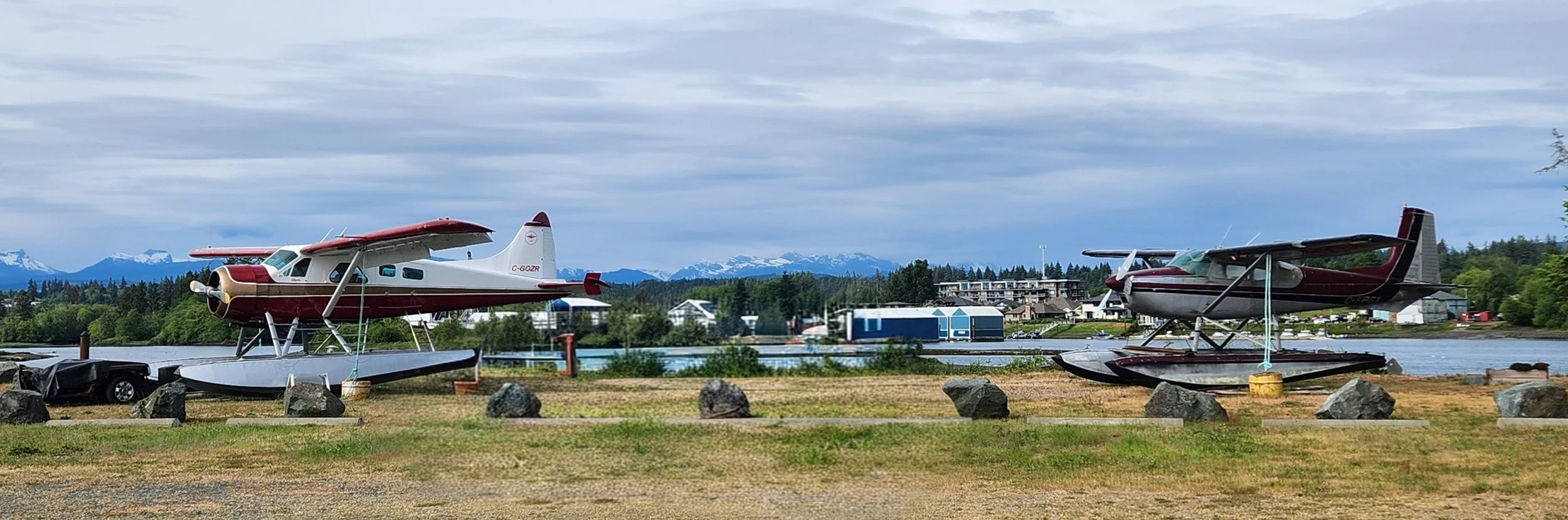
Shearwater looking fine with its cool new seaplane weathervane. Larry has been looking at the weather forecasts for transiting Cape Caution (open ocean area on the way to Port McNeill) and he really nailed our schedule. We only have to be in Shearwater one night as we have a weather ‘GO’ for tomorrow!
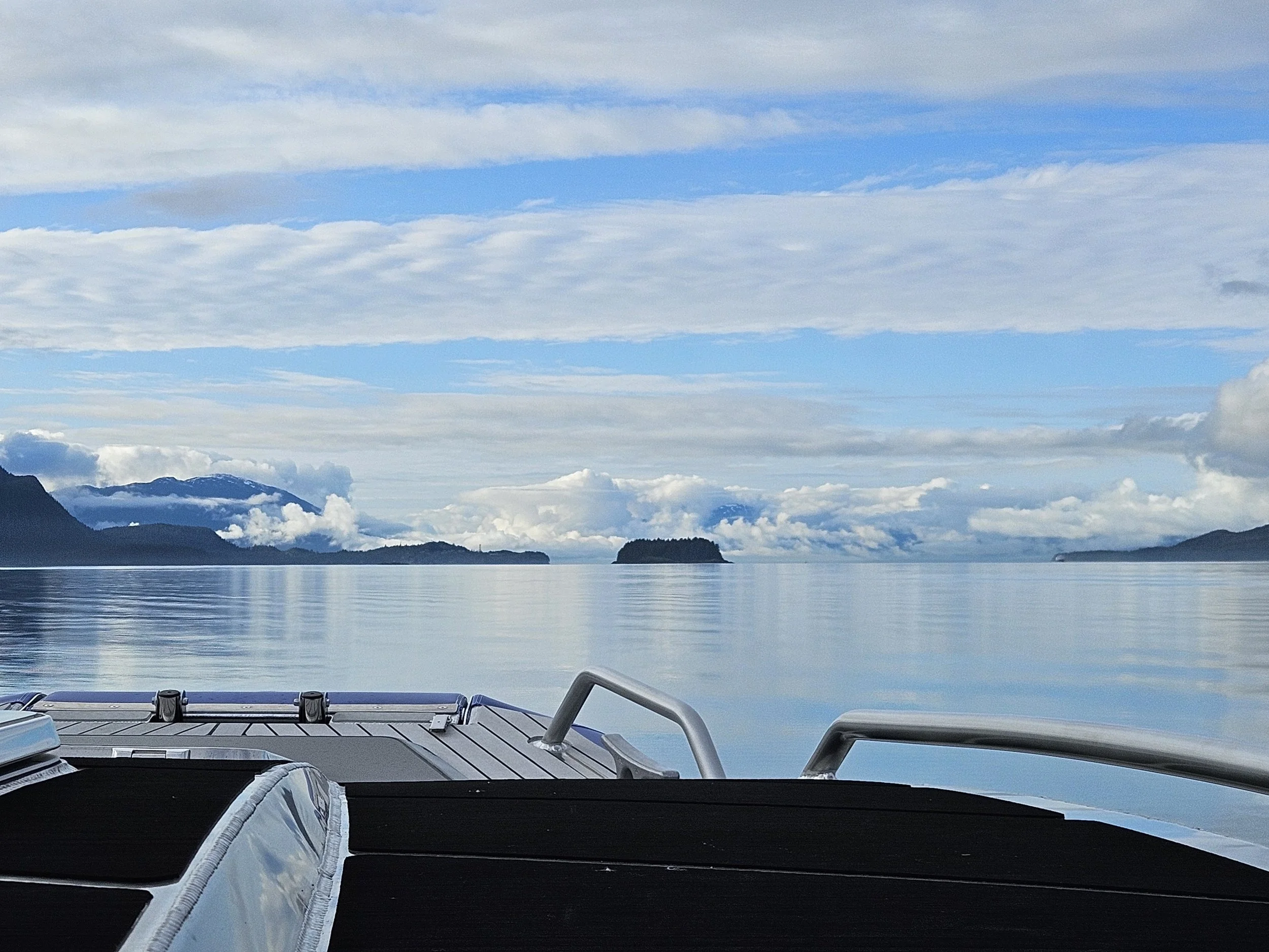
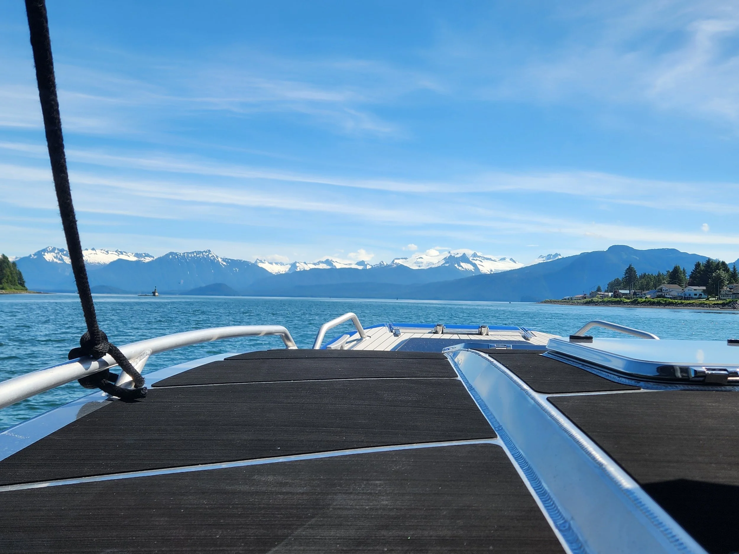
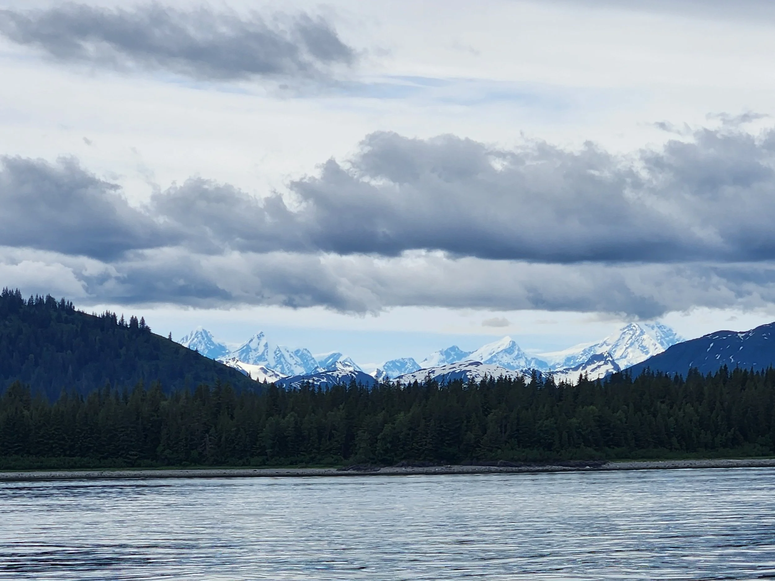
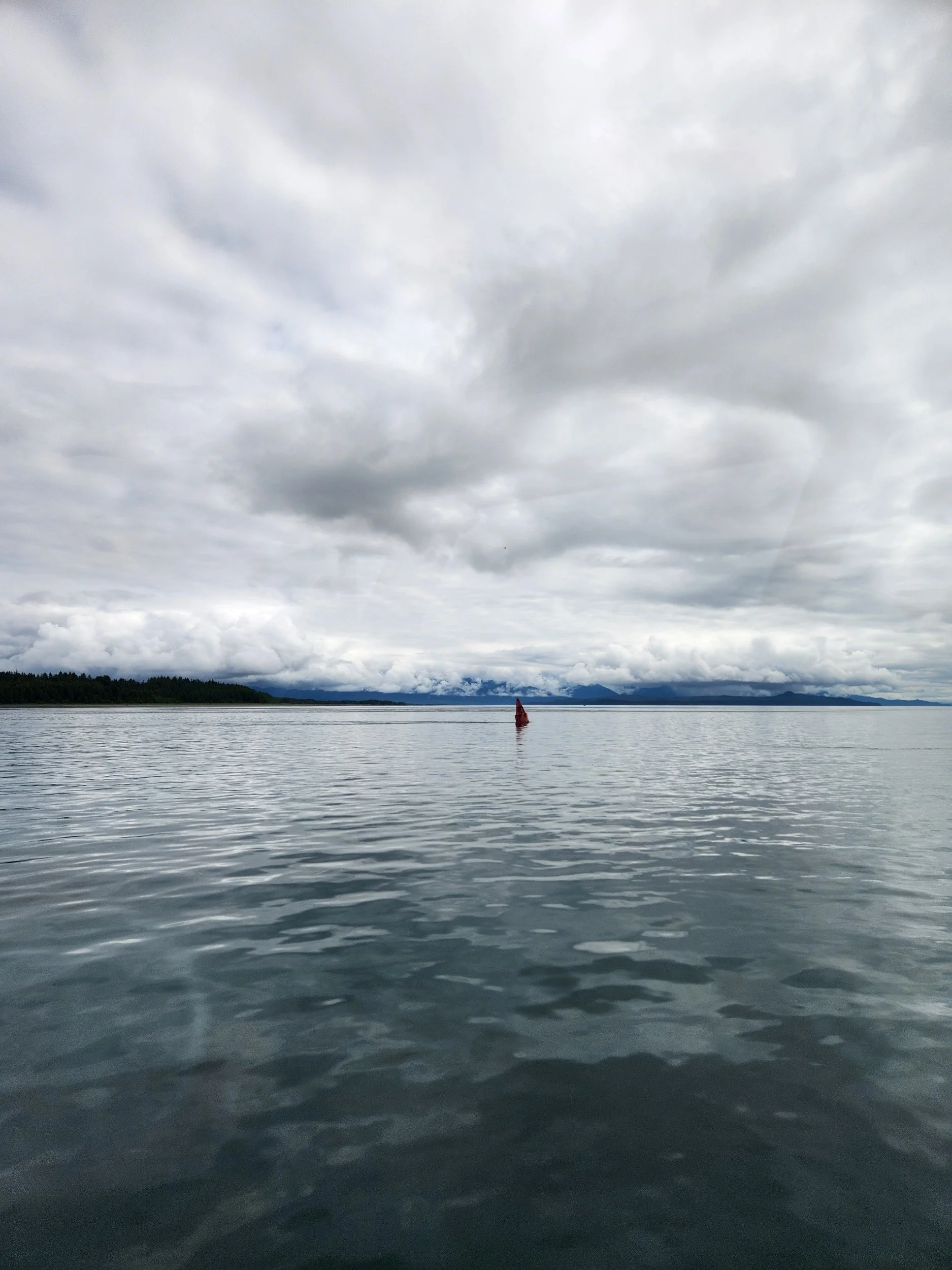
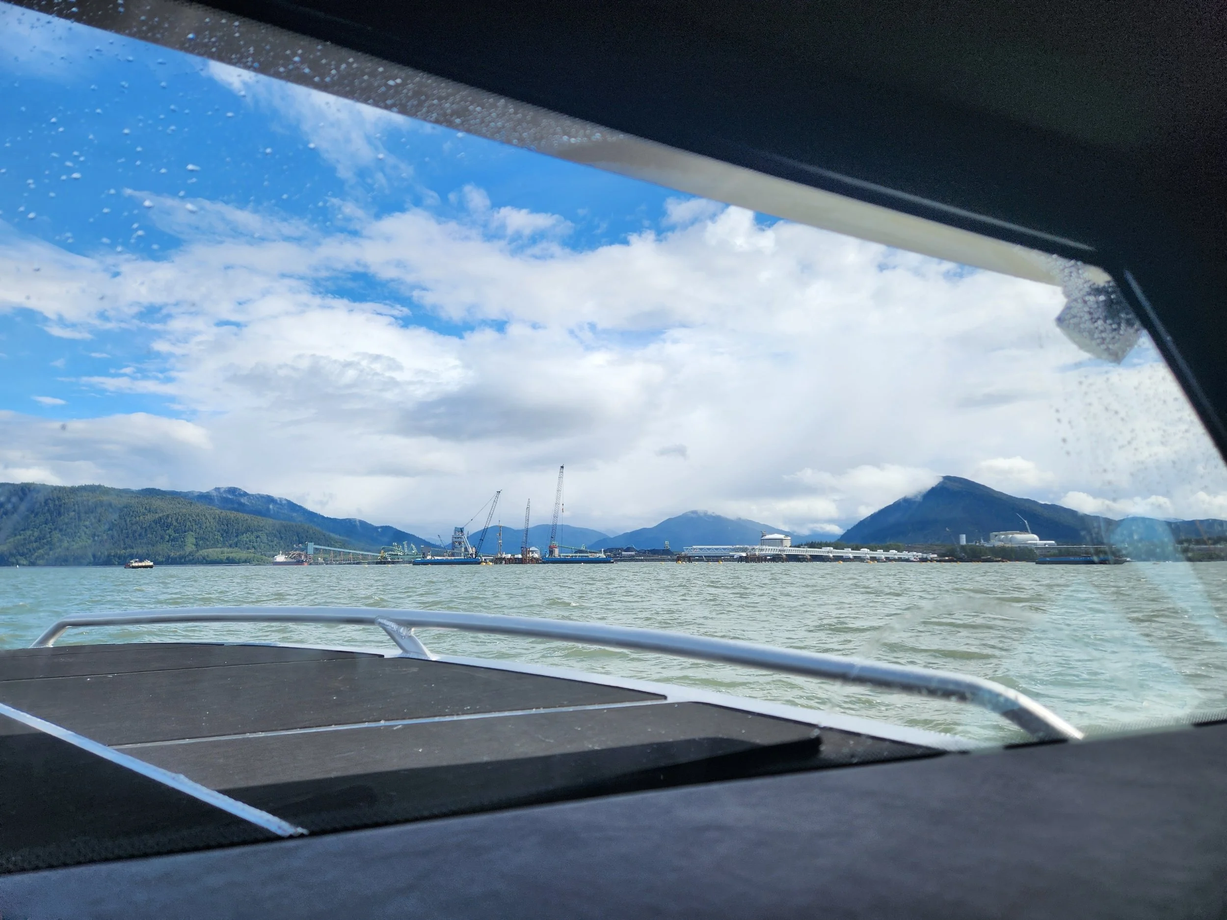
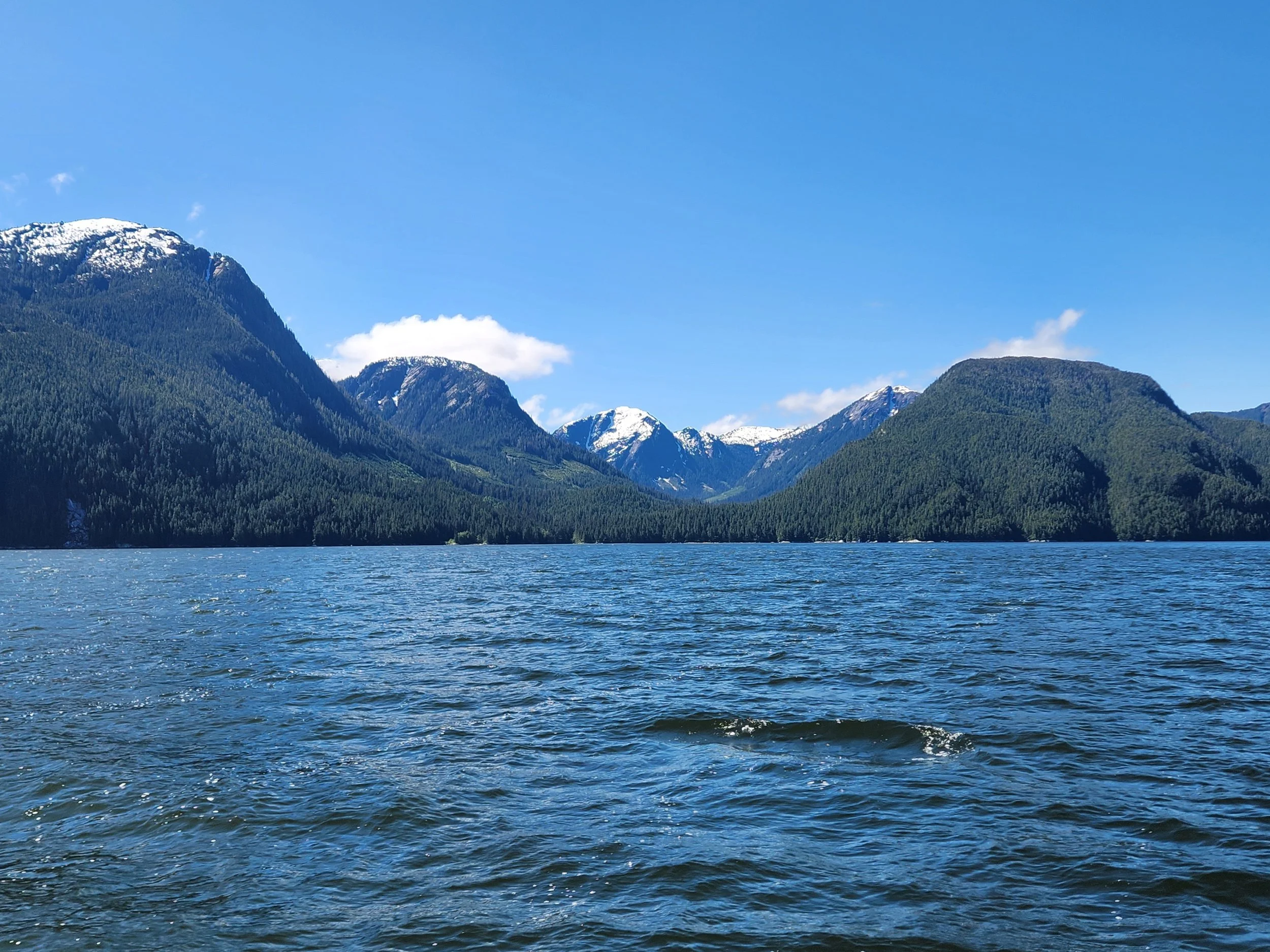
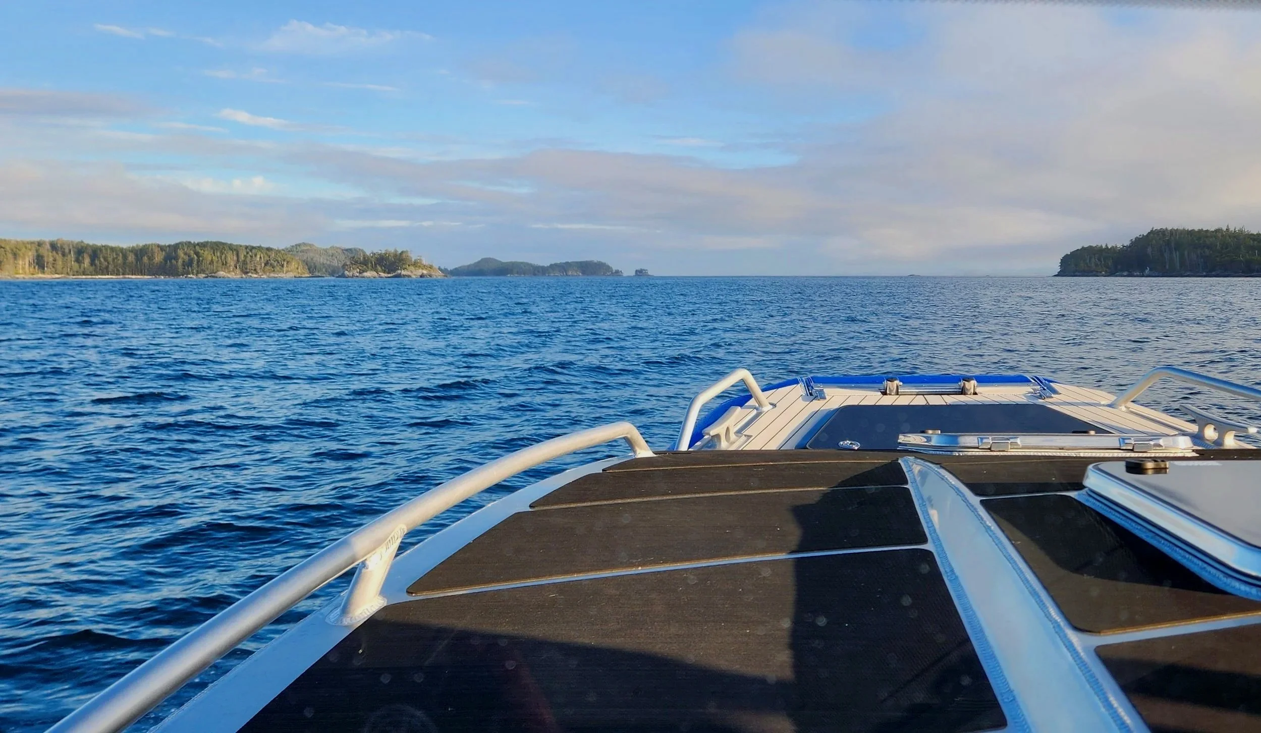
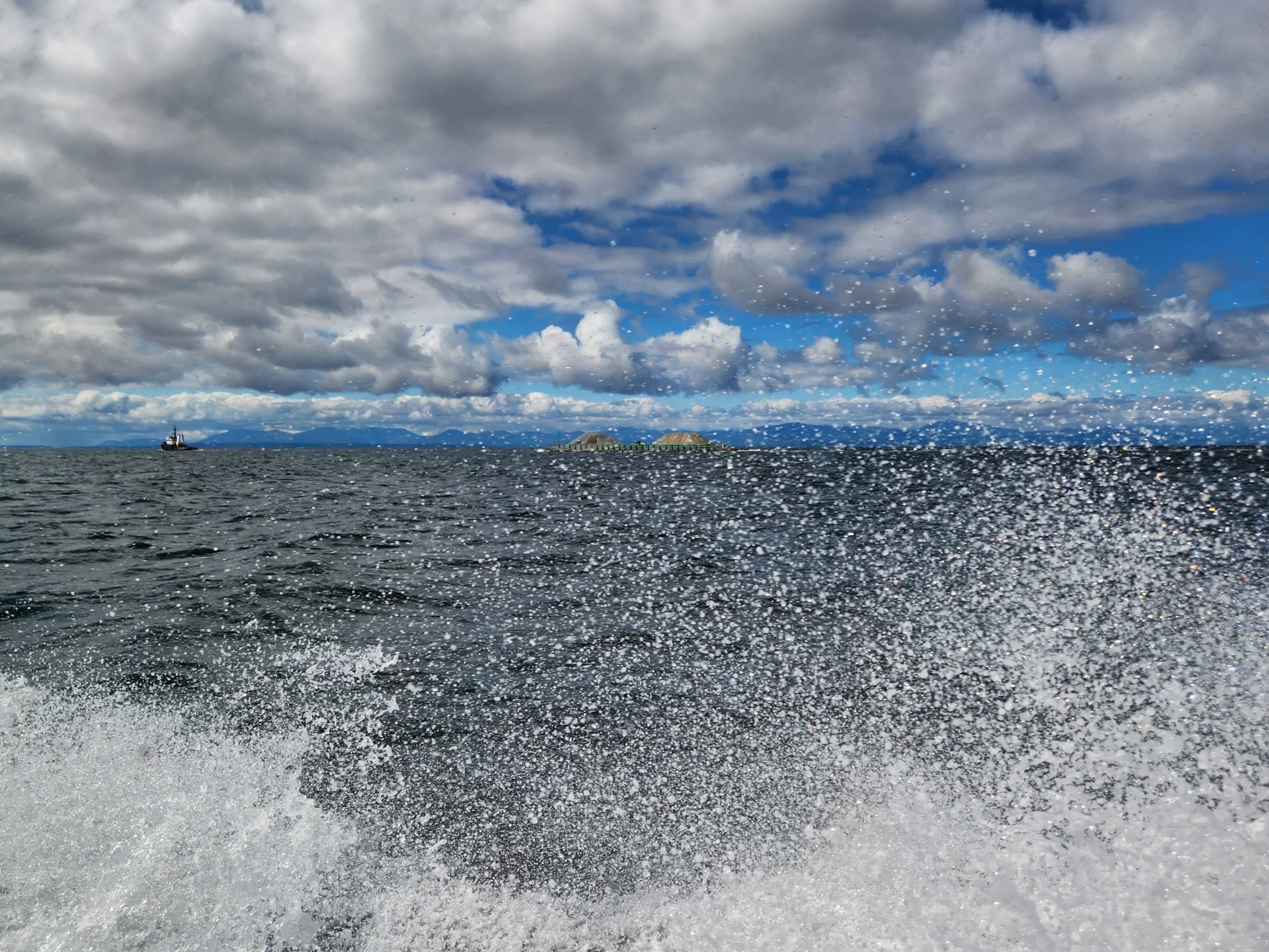
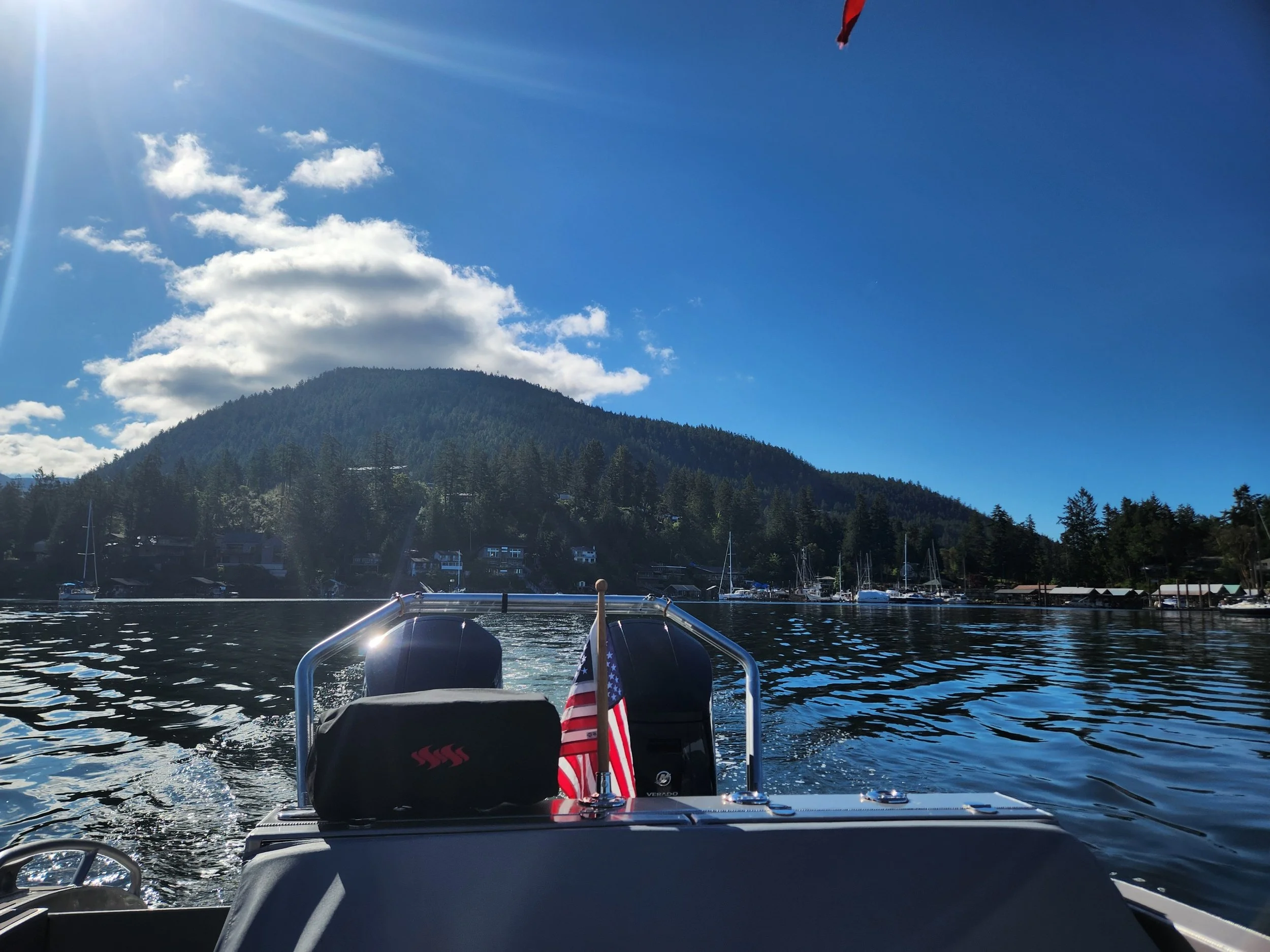
Look how calm it is around Cape Caution! You would have no idea that we are in the open ocean and no longer protected by the Inside Passage.
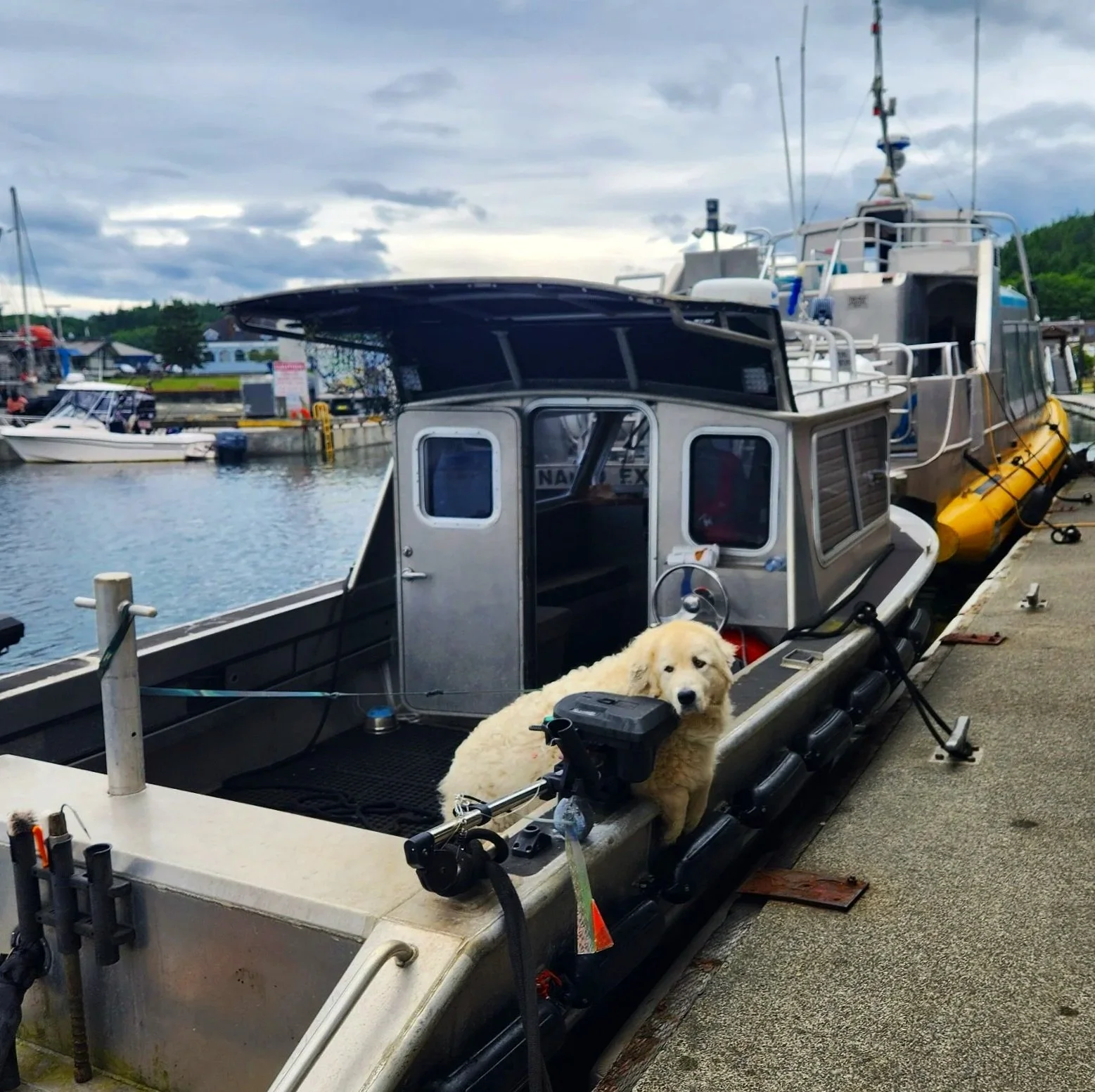
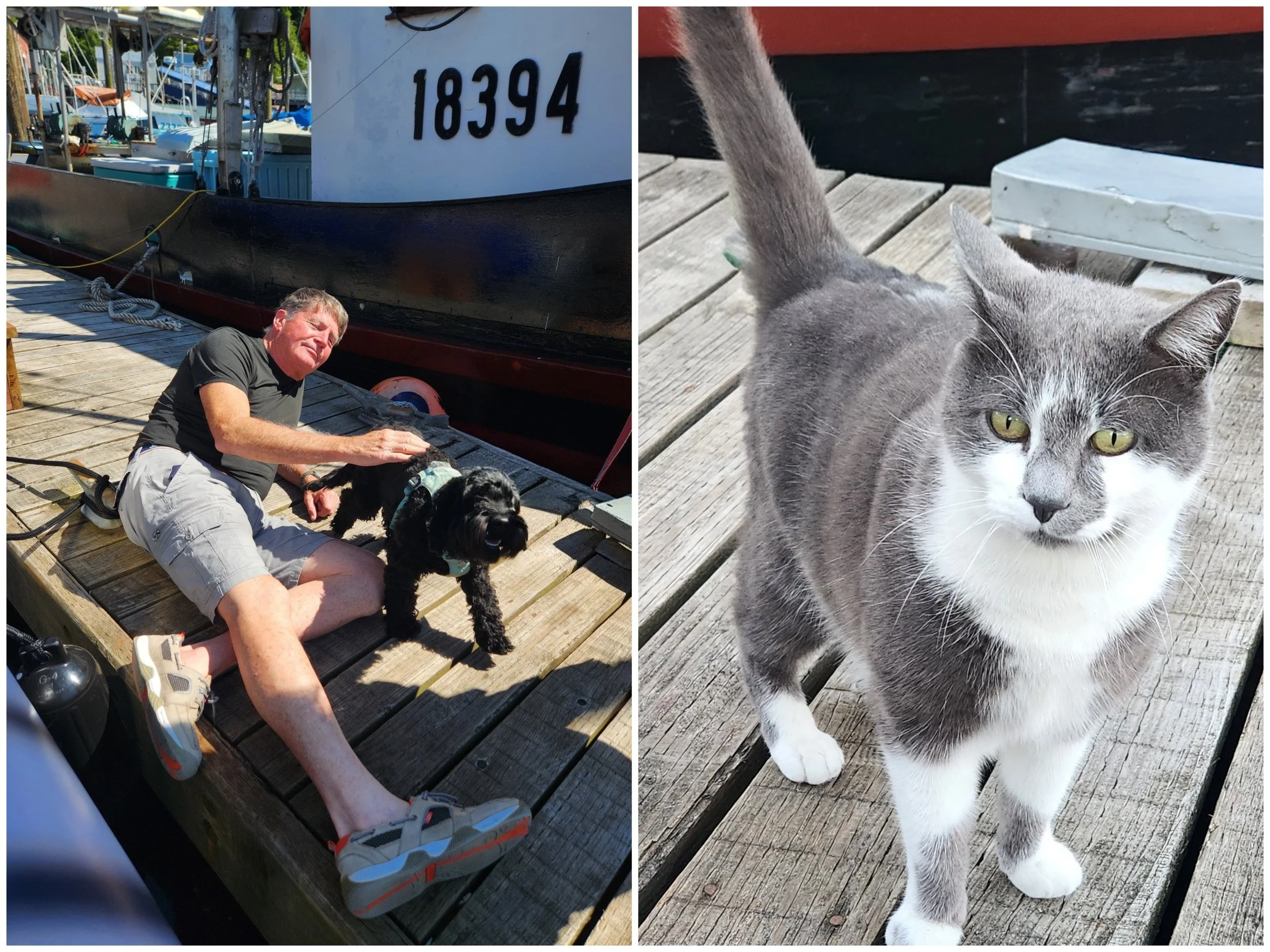
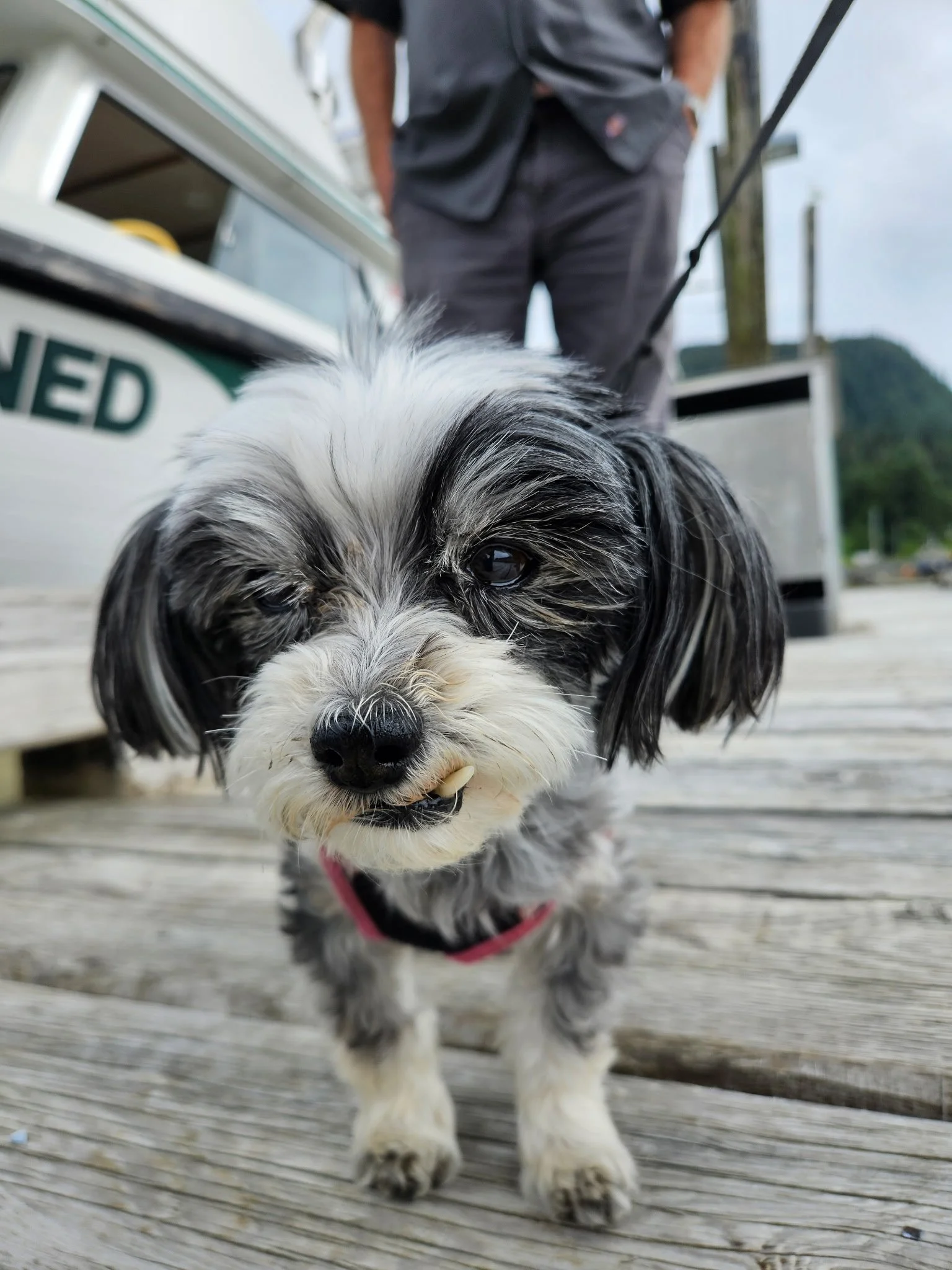
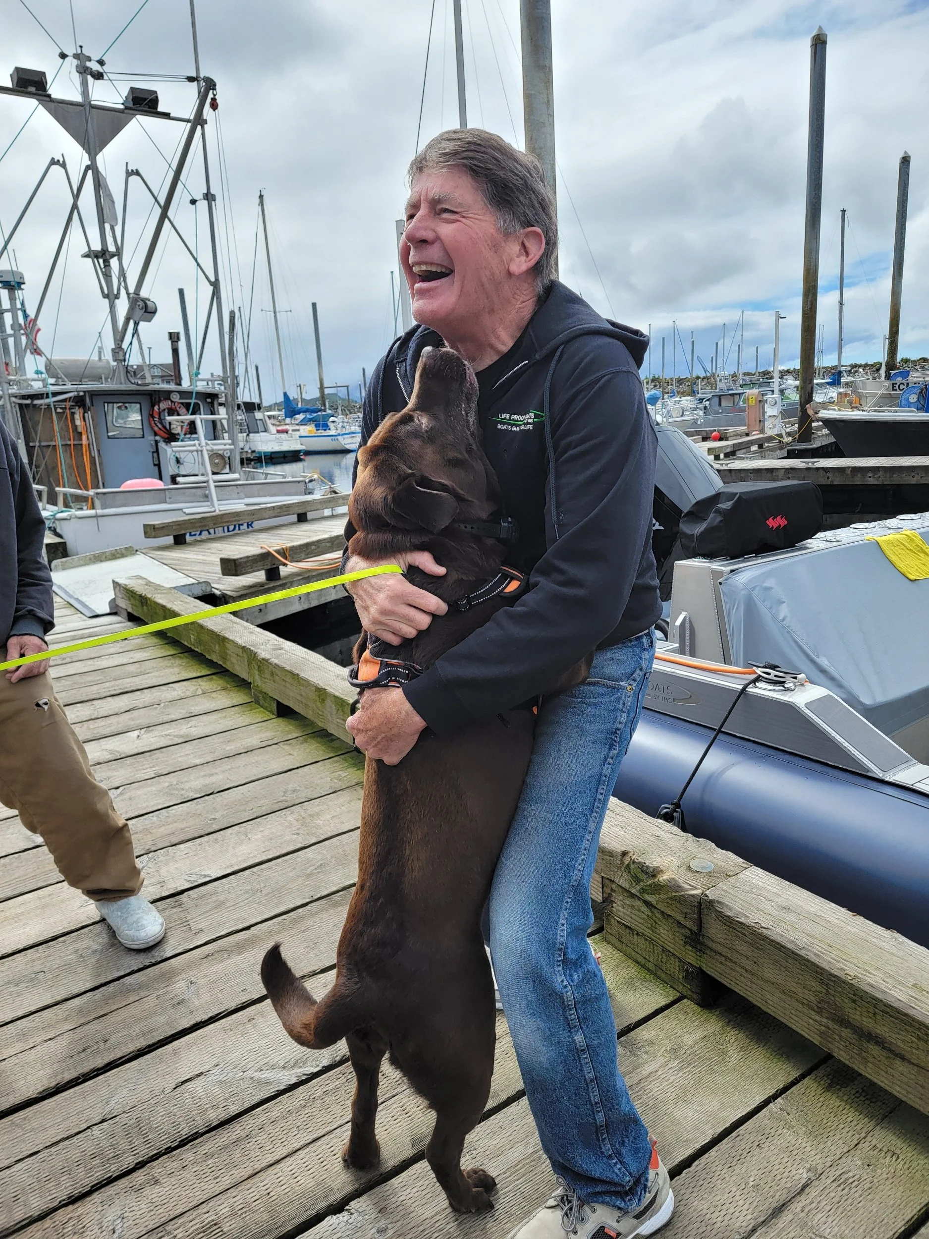
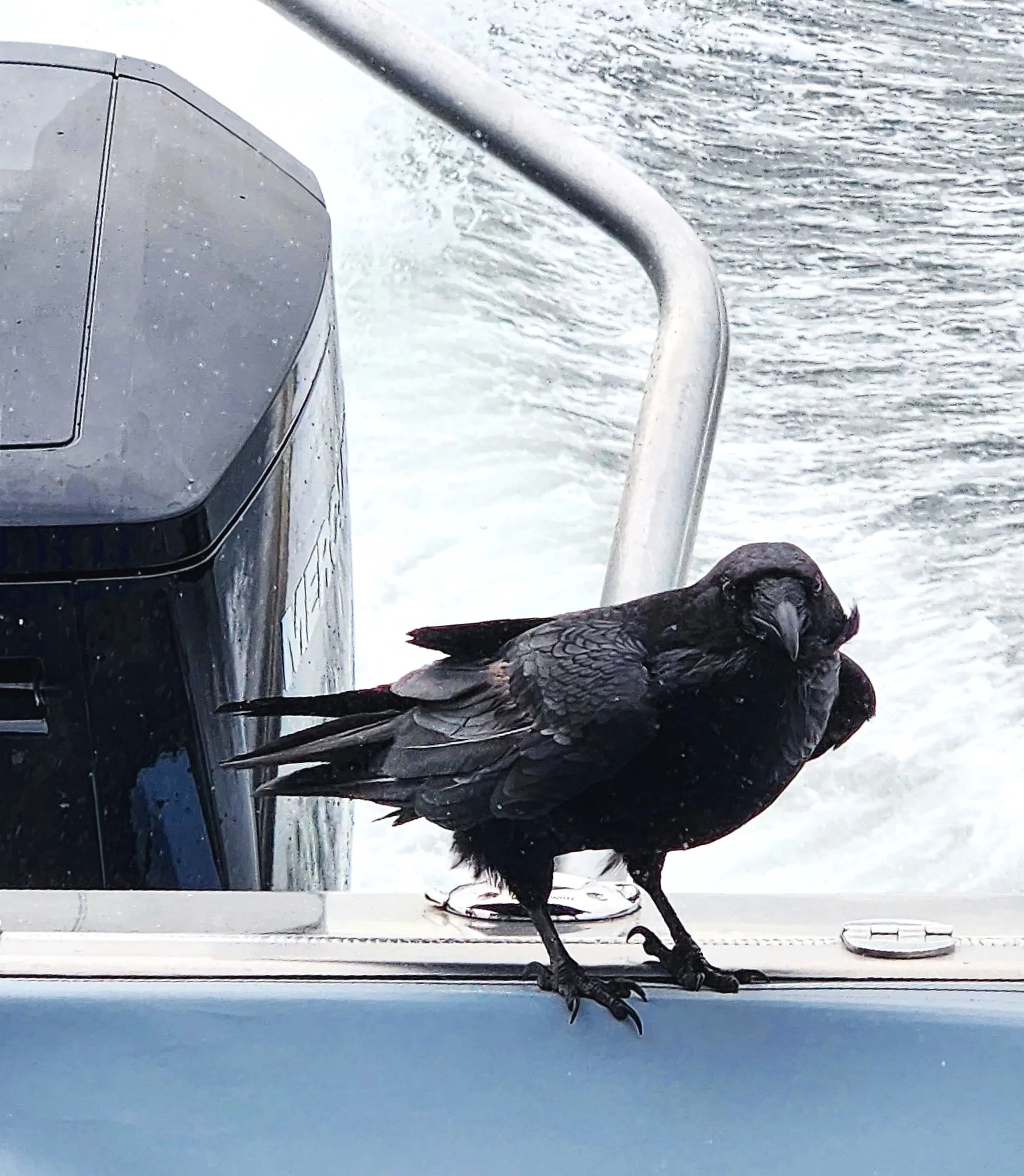
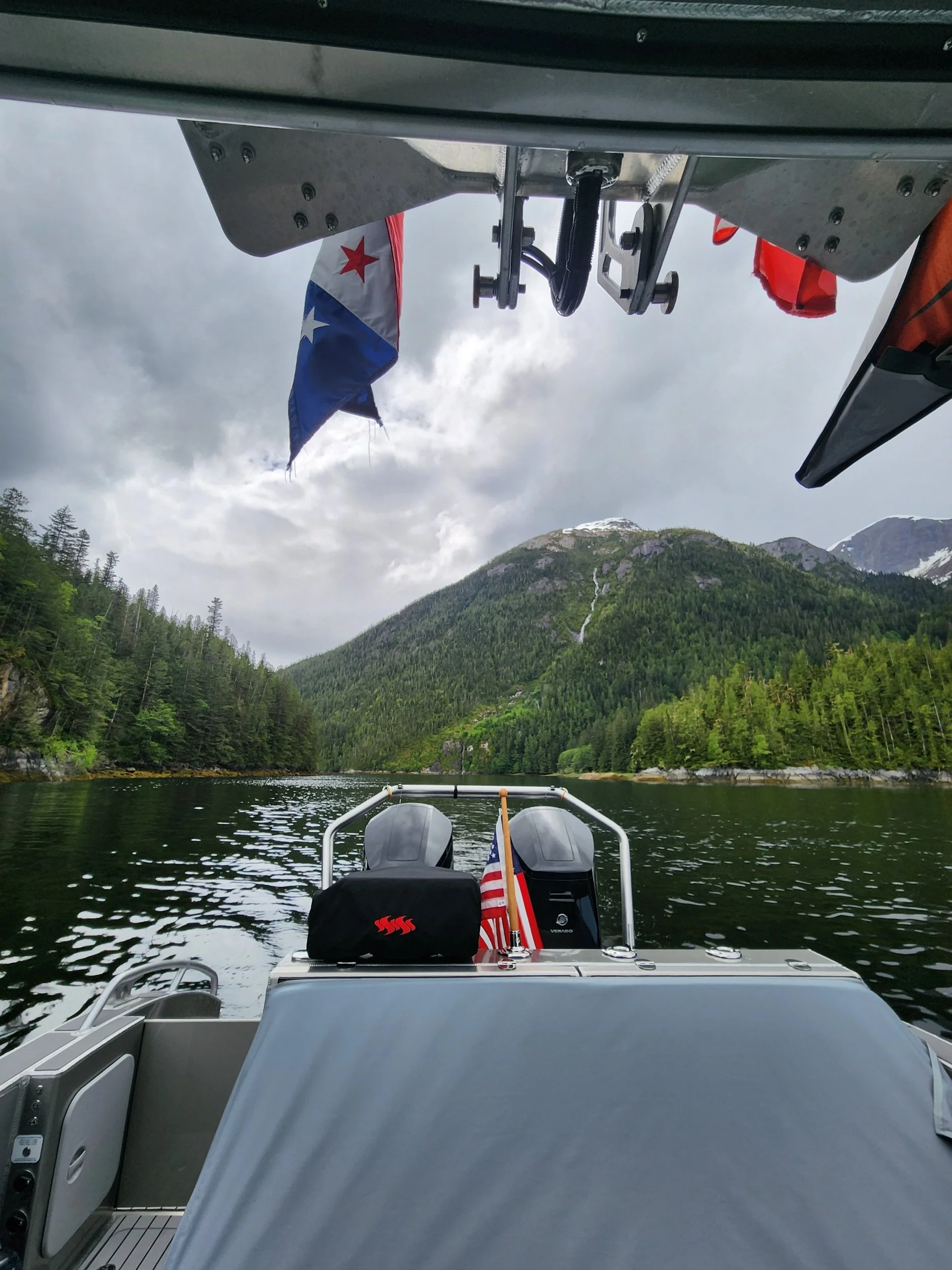
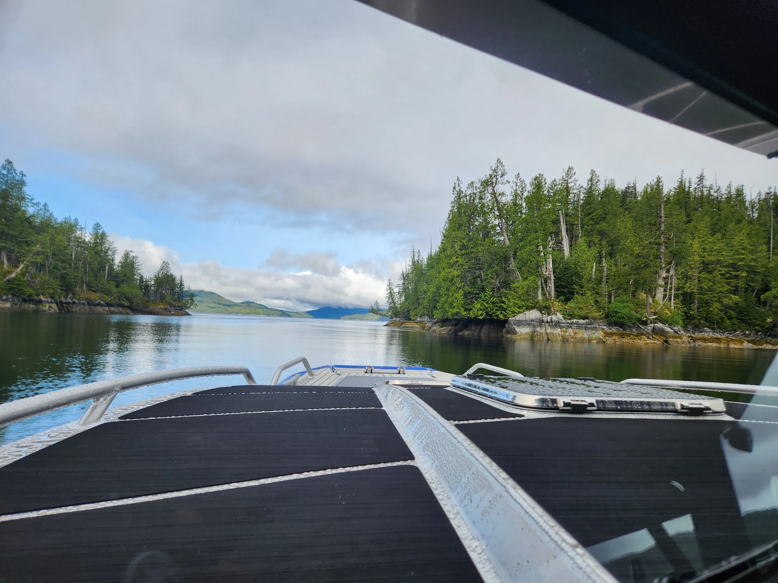
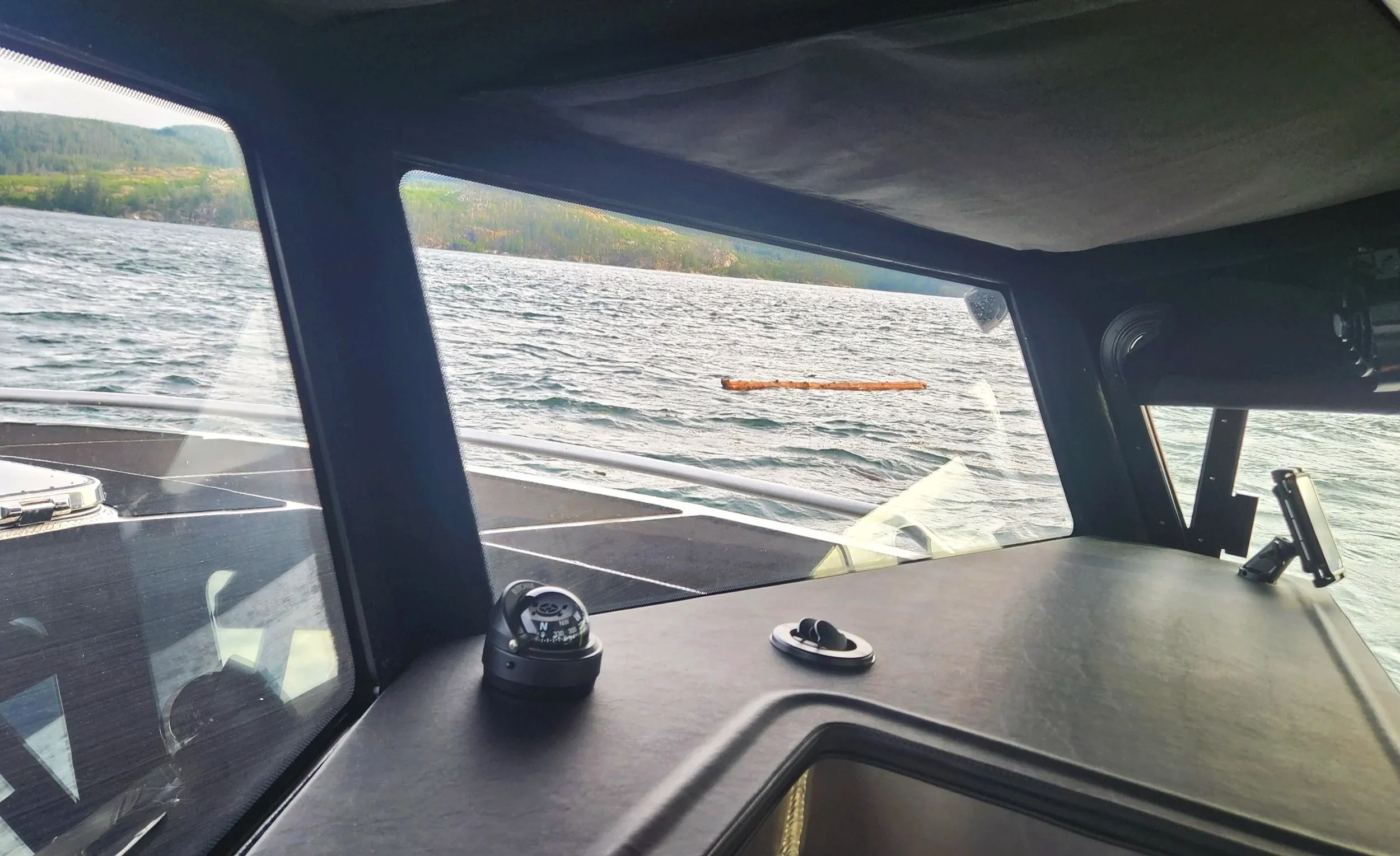
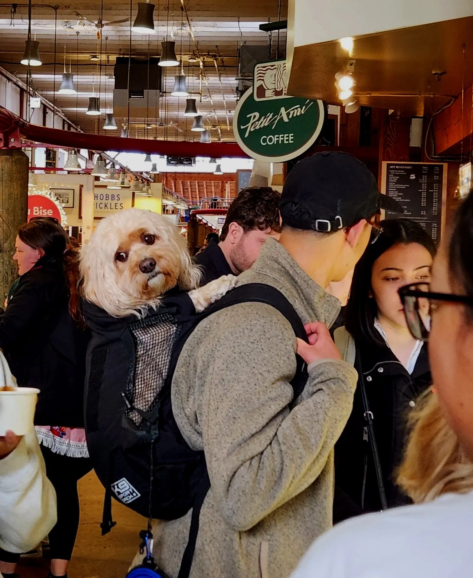
Four hours from Shearwater to Point McNeill. The conditions were great but the debris in the water is truly frightening…be careful out there my fellow cruisers. We are met at the Port McNeill fuel dock by this sweet crew member…love how the paws fit perfectly over the rail.
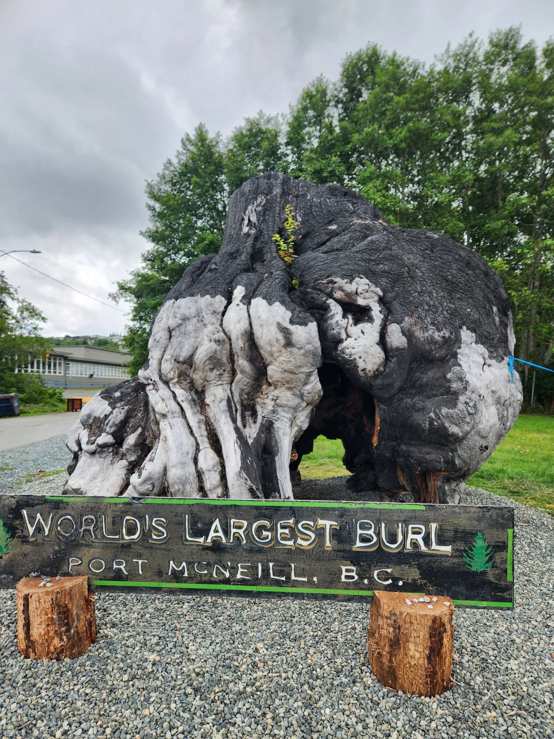
Happy to see the Big Burl is getting a new home after the 2023 fire that charred the stately burl. Evidently, the fire was started by some ‘mensa candidate’ extinguishing their cigarette on the burl.