Mini Cruise to the Saint Francis Yacht Club

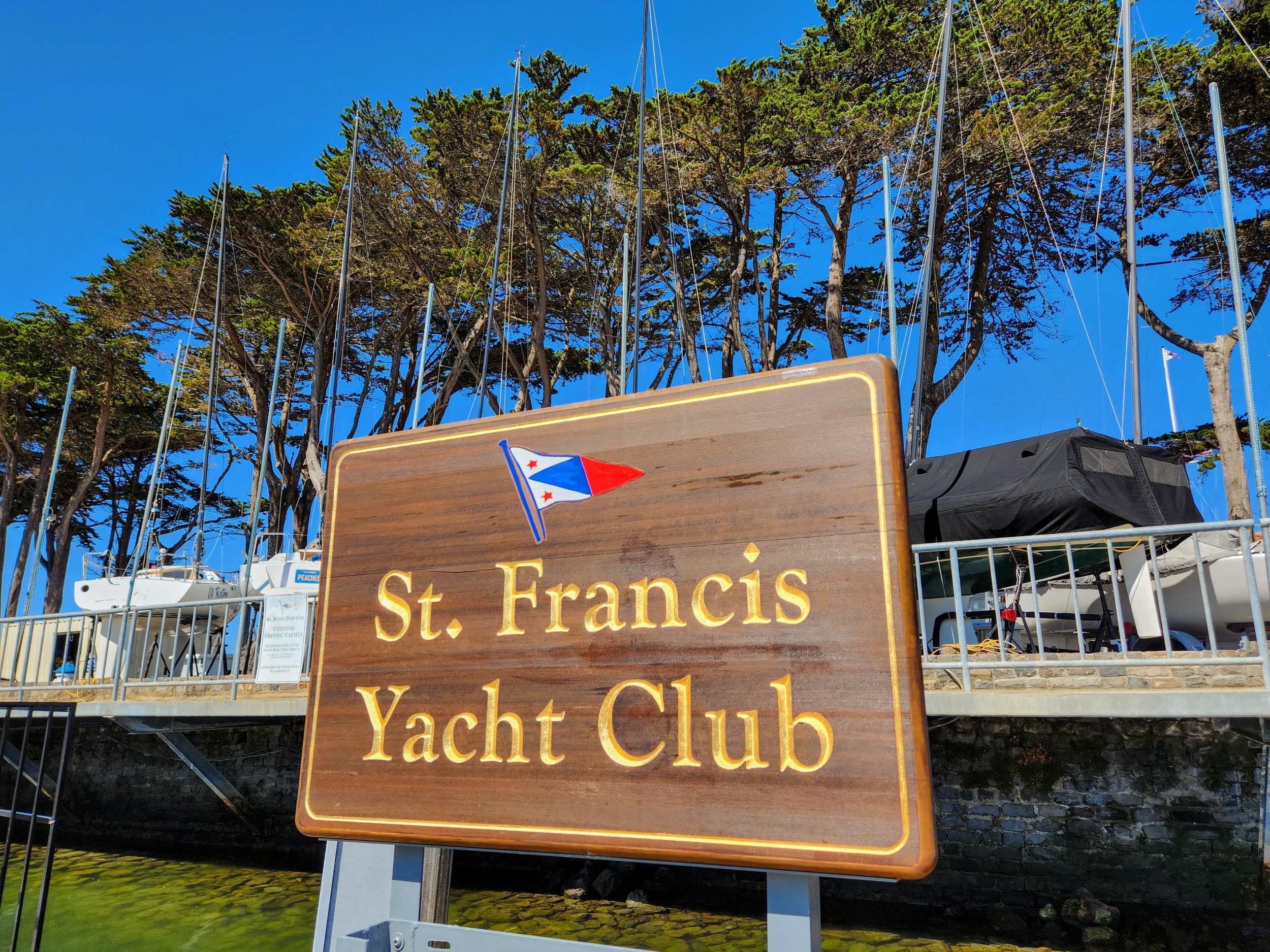
With such great September weather we snuck in a tiny cruise across the Bay to the St. Francis Yacht Club. I had never docked at this yacht club and had also never been in their facilities. Both are quite lovely and of course the views are unparalleled. So happy we jumped at the chance to participate. Sadly, we could only stay for an overnight as we had SFYC cruise committee obligations that weekend.

What a treat to visit the St. Francis Yacht Club after all these years

It was Mahjong game day in the club house…I would have a hard time concentrating on my tiles with this view!

Hiking from the StFYC to and through the new Presidio Tunnel Tops Park was fabulous…what a day. The following quote is from a plaque on the walkway…”Today, the historic heart of the Presidio is reconnected to the Crissy Field waterfront via a beautiful public landscape atop the tunnels. The Presidio parkway design also allowed for acres of wetlands to be restored along the waterfront at a site know as Quartermaster Reach Marsh.”

What a great job and an amazing use of space. The original concept was created by now deceased architect Michael Painter, who earned his undergraduate degree in landscape architecture from U.C. Berkeley.

Also my first time visiting the Presidio Pet Cemetery. The final resting place of many pets owned by families stationed at the Presidio. The cemetery is operated by the post veterinarian and is maintained by private funds and local scouts.

So much history here at the Presidio and Crissy Field

More history at the Palace of Fine Arts building. Rebuilt from 1964 to 1974,it is the only structure remaining on site from the 1915 Panama-Pacific International Exposition.

Super dinner at the Presidio Social Club and nice walk from the StFYC

The Presidio Social Club also known as Building 563 has had many lives…from housing enlisted men from the Spanish-American War to the Philippine-American War and U.S. 9th Cavalry “Buffalo Soldiers”. The building has also been used as a thrift store as well as now being a restaurant.

Royal in it’s evening lights, the Palace of Fine Arts is a site to behold on our walk back to the StFYC

Cruising to Half Moon Bay with SFYC

I am happy to report that the SFYC cruise to Half Moon Bay was a hit. We had a total of seven boats from our club and four from Sausalito Yacht Club. The weather down on Friday was fantastic (30NM) and didn’t turn foul until we headed back on Sunday. We had following seas back to San Francisco, which made for a smooth trip once we got out of Pillar Point harbor and were headed north. Getting back into our slip at SFYC was another matter. The winds had picked up and we struggled against 25 knot gusts as we tied up the Independence. Larry did a great job getting her into the slip and then we ran around and helped our fellow cruisers into their slips. We were very happy and relieved when our last cruiser was secured and we could go warm up in the club house with an Irish Coffee.

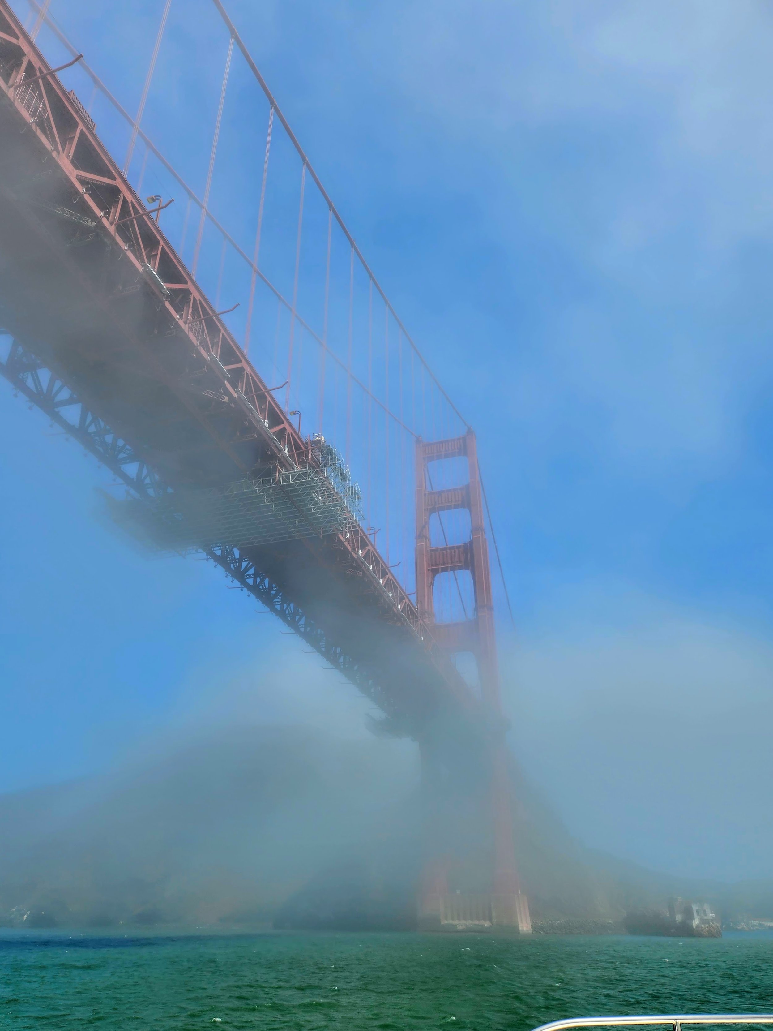
I finally got my dream picture of the Independence under the Golden Gate Bridge thanks to JoJo Dailey

Kappy Reed and I enjoy the view as we head south

Pillar Point Harbor mural at the Marina

Pillar Point Harbor is a great place to stay for a couple days if you can snag a slip

Thanks to Kappy and her artistry. She made our SWAG buckets look so cute. There were Half Moon Bay Mavericks Amber Ales inside along with other goodies.

Docktails Friday at 5:00PM

Rob and Shelley enjoying some home aged tequila with Larry

Friday dinner at HMB Brewery and Restaurant was well attended

Half Moon Bay Brewing Co. has a fantastic selection of beers for purchase

Larry is the lucky recipient of a sweet gift of tequila from Evan Dailey at the Half Moon Bay Brewing Company and Restaurant

Old Princeton Landing Public House and Grill makes a nice beer stop

Larry with Kappy and Mark Reed at the Half Moon Bay Yacht Club

The beachside memorial for Mark Sheldon Foo. An amazing big wave surfer of Mavericks, Half Moon Bay

JettyWave Distillery. They distill their own Gin, Vodka and Moonshine.

Celebrating Jib Martens (holding the hat) win of the Single Handed Race to Half Moon Bay at JettyWave Distillery

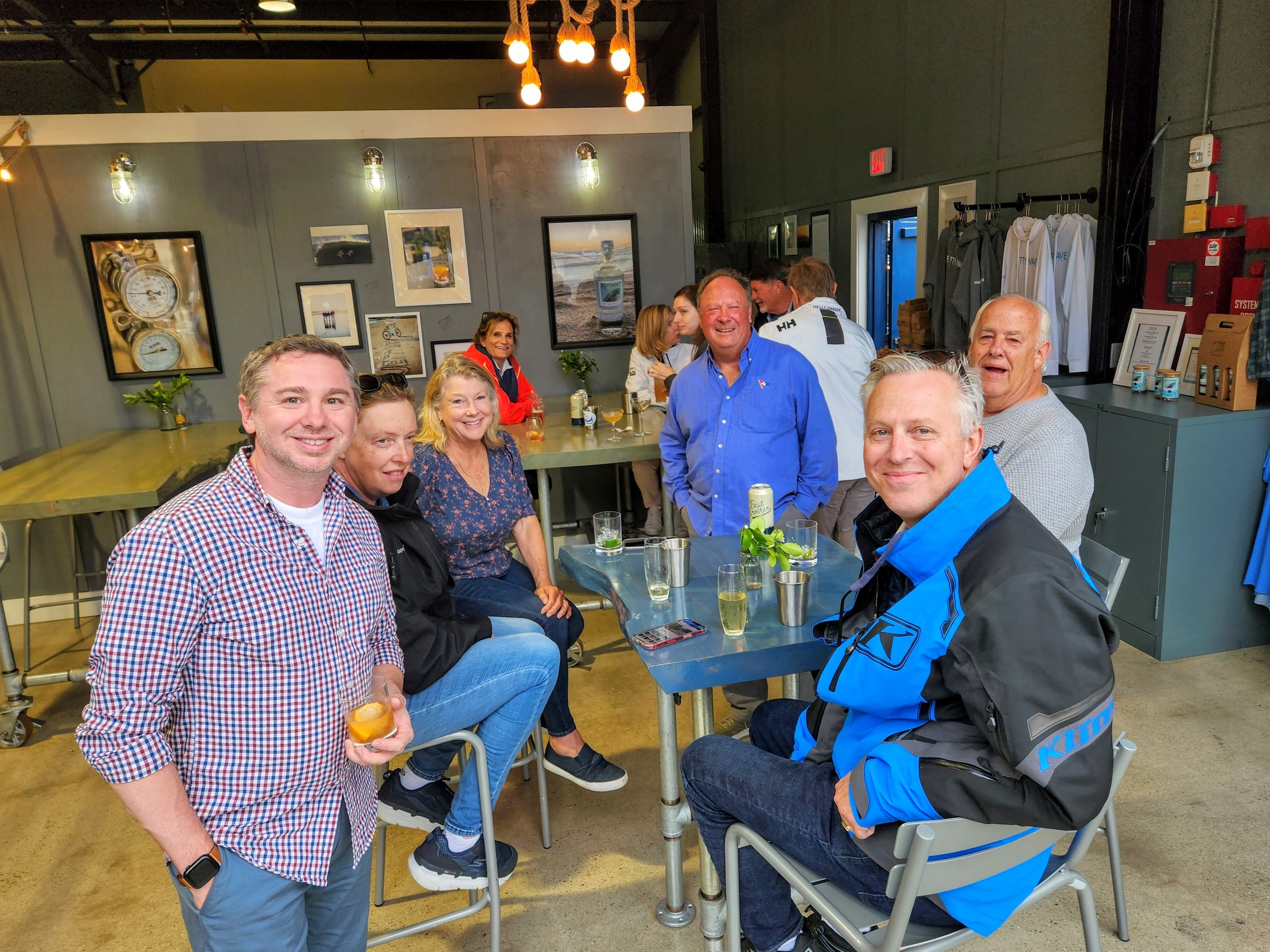
The Cruisers gather for cocktails at JettyWave Distillery

Stephanie Stroub and Mark Reed enjoying dinner at Seville Tapas

The Paella dinner at Seville Tapas was a success

A great trip and a great time at Half Moon Bay!

Cruising 'The City by the Bay'...

Another dream come true…taking our friends out on a day cruise by the Golden Gate Bridge and the city front. Under the Bay Bridge, stopping for lunch on the backside of Angel Island and then back to Sausalito….how very much fun…all in our back yard.

Larry with Casey, Gumby, Joan, Lisa and Suzette….Our last weekend in Sausalito before we move to the San Francisco Yacht Club.

A foggy Golden Gate Bridge tour with Suzi, Casey, Joan, Larry, Brad, Gumby and Suzette

Clearer skies as we approach the city front

The Pyramid building and our gorgeous SF city front

Coit tower watching over the city

The Jeremiah O’Brien Liberty ship outside of Aquatic Park

The Bay Bridge and Treasure Island

South of the Bay Bridge looking back at the city front

The new addition of the Bay Bridge

Larry, Brad, Gumby and Casey…cheers boys!

Larry, Gumby, Suzette, Joan, Casey, Brad, Suzi and Me…we will miss Sausalito!

Future Cruising Plans Are In the Air

When we finally got the Independence back to The Bay we thought - well, we won’t be going anywhere for awhile. Perhaps that might have changed after we flew to Vancouver, Canada. last month. It’s just too good of a cruising ground not to go. So, maybe a little sooner than we planned we may find ourselves heading north…

I can see the wheels beginning to turn…

The Gastown Steam Clock always gathers a crowd

Harbor Air was very busy on this gorgeous day

A walk along the city front

What a day to fly!

Even with canvas booties the camels were just too much for The Cariboo…eating the pants, shirts and soap and scaring the horses. It seemed like a good idea at the time.

Seaplanes waiting for hire

City front views

A future marina for the Independence

Views from Stanley Park

A beer at the Vancouver Yacht Club

I was lucky to get this shot, as Larry’s face was plastered against the window of the airplane. Future ideas of cruising these beautiful islands dancing in his head.

Captain's Post #16 - Santa Barbara to Sausalito - A.K.A "Is He Trying to Ram Us?!?"

By Larry McCullough


The weather window looked pretty good for 48 hours for our journey to our home in the San Francisco Bay Area, but for just a short period. Having a stop in Moro Bay or San Simeon did not make sense. The seas were forecasted to be a maximum of 6 feet every 9 seconds at Point Conception and then a pretty steady, not too uncomfortable 5 feet every 10 seconds. Like other things in life, a few seconds can make a big difference.

We untied the boat at 5 AM from the slip that the Santa Barbara Yacht Club let us use in the Santa Barbara Harbor and we were on our way with a very minimal swell and the wind at our stern as we headed about 35 miles towards Point Conception. Rounding the point would be very similar to the points we rounded leaving Cabo San Lucas where a southerly swell meets a predominately northerly swell and that mixture, along with throwing in some wind waves, can make for a very rough and uncomfortable ride.

As opposed to our departure from Cabo this journey did not have our favorite glutton for punishment Steve “Gumby” Grant. I guess after the 3.5 day journey,, that had some very rough seas he needed a break. This trip was just Jamie and I, we didn’t have a choice, we needed to get moving north.

As I previously have posted, the winds lately have been endless, this weather window had them at 3 knots to a max of 15 knots! Even if the seas were forecasted to be a rougher, with so little wind we would not have to deal with close frequency wind waves creating a pounding effect. On this trip we did not have a single wave come over the bow and we did not have a single wave splash high enough to warrant the windshield wipers to be used. We did have to turn them on occasionally due to the fog though.

Oh yes the fog, and the idiots that navigate through it. More on that in a minute, but first some very positive comments.

As we rounded Point Conception we were joined by dolphins and seals, the wildlife we saw this day was incredible and took the boredom away. The seas were as predicted and it was a nice cruise, unusual for Point Conception (my fifth trip). As we proceeded north I encouraged Jamie to take some naps, which she did with little encouragement since we had gotten up at 4:30 AM. She also knew that I always say take a nap because we have an overnighter and she knows I have a real trouble napping on the first day of overnight passages.

Around 2 PM I was trying to nap in our stateroom and I felt the boat suddenly slow down. I bolt up the stairs to the helm expecting the worst. Jamie said “I didn’t want to hit a whale, look behind us at all the dolphins and whales around here”. Sure enough there is a super-pod of dolphins, at least 200 hundred. As we are idling along at about 5 knots. I also spot approximately 10 whales in all directions…then one surfaces just off our bow, so close that I could only see half of him as he is crossing in front of us from port to starboard. I would say less than 15 feet in front of us! Jamie quickly places the throttles in neutral as our mouths spew forth obscenities, but in a good way (not the bad way that happened the next morning when we almost got rammed).

We were roughly 7 miles off the coast of the bottom of Moro Bay and just a bit south. We surmised that the nutrient rich waters from the north were funneled through Moro Bay and then connected with the current to create a huge feeding ground for the food chain. Who knows…it was a great memorable moment! In maybe a half hour we counted about 20 whales, so nice to see, a very healthy ocean.

As we proceeded north there was a dramatic drop off of the wildlife but was made up with the amount of fog that rolled in. By 4 PM we had the radar going and we were paying attention to the chart screen looking for boats transmitting their course and name via the AIS system.

AIS has been a great benefit to boater’s safety. The name of our boat along with our speed and our course (along with other general information) is sent via VHF radios to other boats in the area. What a great idea, who in their right mind would not spend an inconsequential amount of money on such a great safety device…more on that later!

Later as night came upon us along with zero visibility, the radar and AIS were crucial. Without those two devices there is no way we would be out there in those conditions. But people do, more on that later. As I was monitoring the radar I had the distance set at 8 miles and I noticed a “target” on the exact opposite course as us, which would mean a possible collision. At about 6 miles the AIS information appeared with the name of the boat, speed and course. Yes we were on a collision course. At about 4 miles I reduced the radar to just a limit of 4 miles and I radioed the other boat. The captain quicky responded, said he picked up our image on his radar and also noted that he had our AIS information. We both agreed to turn to starboard and give each other a wide birth to avoid any chance of collision. I must say it was nice to have such a professional interaction and also it took away the tedium for a while.

More time and darkness passed, yes you look outside and don’t just stare at the screens incase you missed something or another boat does not have AIS and it’s radar ‘signature” is so light that you miss it. As we approached Big Sur the seas were forecasted to pick up, I also picked up another boat on radar, this time heading north on roughly the same heading as us (common on Coastal Cruising). Soon the boats name appeared on AIS but this boat was all over the place. It must be a sailboat I thought, but why would he be tacking so much. The winds were light and not in a direction that would be favorable for sailing. Plus just about every sailboat heading north is doing so using their engines. As we got closer and there was no rhythm to his course changes I radioed him asking for his intentions. After 3 tries, and much frustration on my part,  he finally answered and said his autopilot had gone out and he was steering by hand. My frustration, ok anger I admit it, with this captain quicky faded and was replaced with sympathy. It is very hard to steer a boat at night with zero visibility due to the fog just using a compass. Throw in 5 foot sees and it is really tough. The captain said he saw us on AIS and we gave him a wide berth, a very wide berth.

We passed Monterey and picked up some conversations on the radio of a tug that was towing 2 barges that was heading south. The tug captain was talking to a “war ship” that I had been monitoring on the radar that had been paralleling us for at least 50 miles but was about 5 miles farther out to sea. That radar target, being a war ship, was not transmitting AIS information. I had the feeling it was a Coast Guard boat or a Navy ship due to the fact he was so far out and not transmitting.

We were finally getting a bit of day light, the smell of coffee and eventually the coffee itself were bringing energy to my system. I had a nap and was at the helm as Jamie had guided us across the rest of Montery Bay and up to the San Mateo Coast. Time for a nap for Jamie.

At about 6 AM I picked up a very faint radar target headed directly at us, at 4 miles I try radioing the boat, no answer. The target heads to his starboard, I change coarse and head to starboard. I radio again and give his precise location along with his course and a more general idea of his location “4 miles just south of Pigeon Point”.  He turns to port FROM starboard, he is all over the place. I try again on the radio I warn of a possible collision, no answer. He does another course change. I now turn hard starboard as he is approaching 1 mile, I zoom the radar in and it is like he is aiming for us! At a half mile I radio again and slow the boat down to an idle. Jamie is now wide awake from her brief nap as we both try to figure out what he is going to do next. I blast our main ship horn 5 times for “collision imminent” (our electronic foghorn had been going since the prior afternoon which blast every minute). At a quarter mile I put the boat in neutral, 5 blast on the horn again, suddenly he appears out of the fog headed at us, I reverse the engines to avoid a collision. An approximately 45 foot fishing trawler with his outriggers out. I get on the radio again asking if he is trailing lines that could tangle our propellers, still no response, fortunately there were no lines or nets in the water.

I have the utmost respect for fisherman, especially the commercial fisherman. But, as in life, some of them are the biggest jerks I have ever encountered. As we crossed underneath the Golden Gate Bridge we have completed just over 11,000 nautical miles in 3 years. On all 5 Great Lakes, the Bahamas, Mexico, Honduras etc. I give them wide berths when possible but so many times it is like what are you thinking? IE: the entrance to West End Bahamas, a multi million dollar Viking with it’s autopilot on figure eights outside the entrance to the channel; South Florida, fisherman ignoring my “stand-on vessel” (on land referred to as right-of-way) status, changing course and cutting in front of me trailing fishing lines (glad we have line cutters on our propellers) and him getting mad at me; and probably the most egregious, a fisherman trolling across the entrance, back and forth,  to St. Joseph River (Lake Michigan) and blocking the entrance “it’s the first day of salmon season’ he yelled at me!

After the latest incident I said to Jamie “I feel a ‘Captain’s Post’ coming”. It’s therapy to write about it, to put it behind me. But I also have noticed a change in me over the last 3 years of cruising. As we have said, it’s not all cocktails and fun, there are many stressful times. Is it because I am older now, or did the trip make me older? I think I have “mellowed” some, letting the incidences like the one above roll off me quicker, no sense dwelling on the negative. The way the world is these days I think you may have too.

Planning, planning, planning!

The red triangle is our boat with our track behind it and the blue circle is the fishing boat (no recorded track)

Here is a shot of the offending fishing boat…rather close in this dense fog!

Santa Barbara, California

We day trip from Two Harbors to Santa Barbara (80NM) in some bouncy water and were happy to be able to get a side-tie in Santa Barbara Harbor when we arrived. We were going to anchor but at the last minute Larry called to see if the harbor had room and due to a small craft advisory forecast for that night, they agreed to take us. We moved the next afternoon to the Santa Barbara Yacht Club’s guest dock - thank you SBYC! We will wait here for a few days, as the winds are still pretty strong around Point Conception. Larry is checking and rechecking the weather sites and it looks like this Wednesday could possibly be a good departure day…we’ll let you know!

Calm water at sunrise before the winds picked up

Entering Santa Barbara Harbor with Stearns Wharf off starboard

Stearns Wharf was originally built by John Stearns in 1872. He owned a saw mill in town and was frustrated with the existing rickety pier so he built his own. Originally he tried Eucalyptus pilings but found them to unstable and eventually replaced them with creosote treated Douglas Fir. Some pilings today are steel with polyethylene covers but a majority of the 2,230 pilings remain Fir. The wharf is 2,250 feet long and in 1888 it was linked to the Southern Pacific Railroad. This wharf is a true phoenix…it keeps rising from the ashes, as it burned in 1973, 1986 and again in 1998.

Always a challenge to navigate these busy harbors

Happy to be on the dock this evening

A beautiful Santa Barbara sunset

The active fishing fleet at the Santa Barbara Harbor and the busy dinghy dock

Thank you Santa Barbara Yacht Club for your hospitality. From the guest dock (pictured here) you can see the clubhouse at its amazing location right on the beach under the palm trees in background. SBYC is the second oldest yacht club on the west coast (est. 1872) second only to our SFYC (est. 1869).

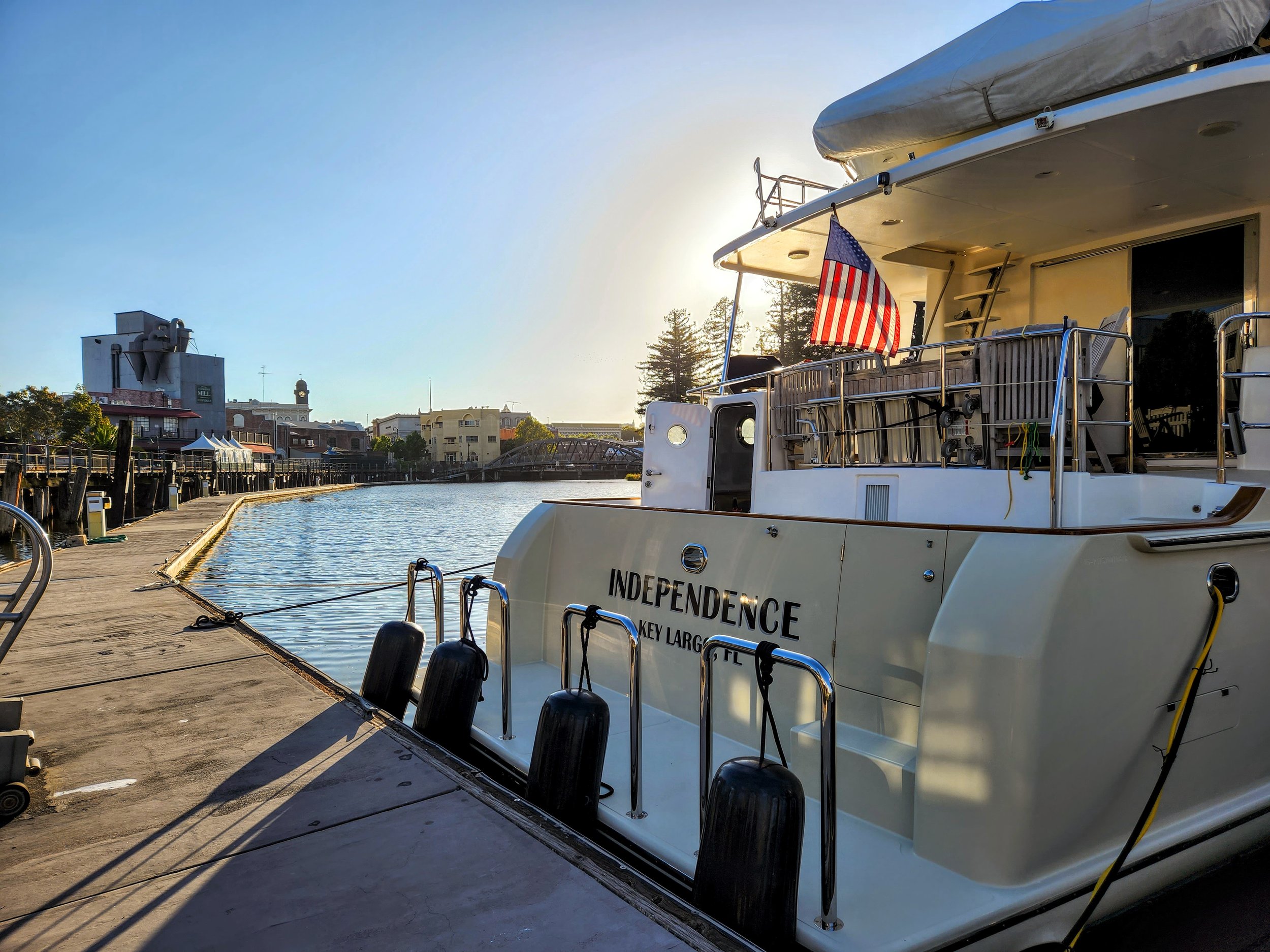
The Independence at the SBYC guest dock

A gorgeous mosaic on the walkway heading to town

Still enjoying our new hardware and the wildlife at the end of the dock

This sculpture ‘Boy on a Seahorse’ is a gift from Puerto Vallarta to Santa Barbara, they are sister cities

An evening view of the fleet

Smart choice to keep a representation of the fleet here in Santa Barbara Harbor

An all wood fishing boat…wish I knew when this one was built and some of the great stories they must have

Thank you Lauren (MVP Gumby Grant’s daughter) for dropping by to say hey!

Last night at SBYC…looks like tomorrow is the day to make the jump around Point Conception and the move toward home (San Francisco Bay). Whether we do it in one long haul (35 hours - plus or minus) or anchor along the way, remains to be seen.

Two Harbors, Santa Catalina Island

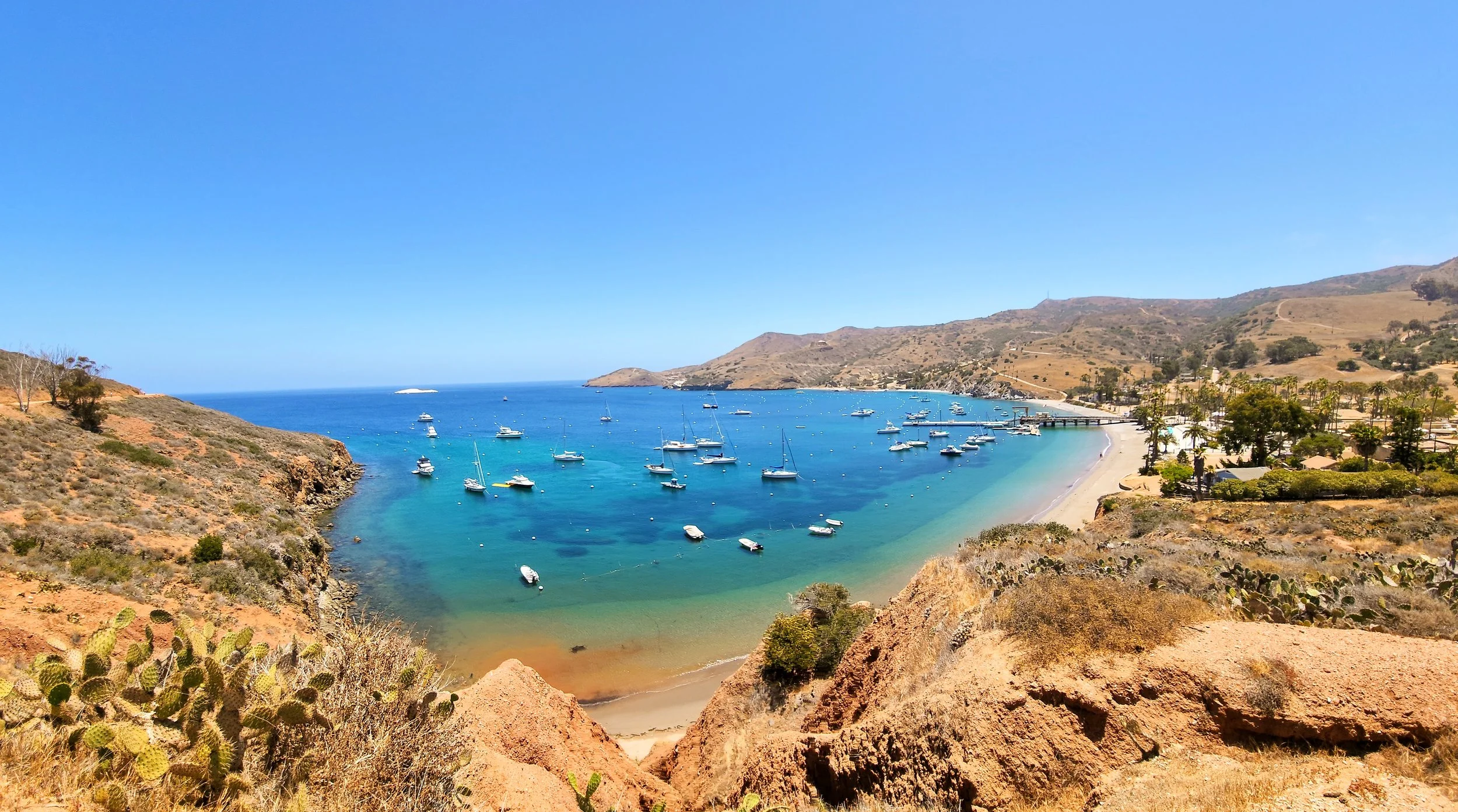
Only 11NM north of Avalon Harbor but a world apart. Two Harbors is situated on an isthmus between the aptly named Isthmus Cove and Catalina Harbor. This location is less about restaurants, bars and historical Catalina and more about camping, hiking, biking, scuba and other water sports. Larry is grinding up the trails with his mountain bike while I explore them at a slow jog. It truly is a gorgeous spot with so much to offer the outdoor enthusiast. I will supply a word to the wise; if you wish to visit Isthmus Cove, be sure to bring a boat that is smaller than 59 feet. That way you can get a mooring ball near the wall (or cliff face) and try to hide from the constant wakes that the harbors’ own patrol, ferries and lifeguard boats (not too mention the rude boaters) constantly generate within the confines of the harbor. If I ever come back to this area I will be sure to avoid Isthmus Cove and head for the shelter of Cherry Cove Harbor instead.

Isthmus Cove mooring field at Two Harbors

On the isthmus of Two Harbors looking out toward Catalina Harbor and the Pacific beyond

The Isthmus Yacht Club…again, nonreciprocal

Isthmus Harbor

West End Road trail with the Independence in the background

Fourth of July Cove with the Independence way in the distance

Most of the island trails are protected and maintained by the Catalina Island Conservancy courtesy of the Wrigley family

The continual struggle of the ecologist…

Yes, they are out there…

During Larry’s mountain bike ride he came upon this adult male bison (approx. 1800 pounds!). He may look like he is in a coral but he’s not and I’m very glad that Larry didn’t get any closer. This male is a descendant of the fourteen bison that were originally brought to Catalina for a film in 1924. Evidently, they were left on the island after their close-ups and the herd eventually swelled to 600 animals. The Catalina Island Conservancy took matters into their own hands and through ‘non-hormonal contraceptives’ (I have no idea what that means) now have the herd down to a manageable 150 bison.

Catalina Harbor on the western side of the isthmus and the now the defunct Ballast Yacht club (center of photo)…oh well…it was probably nonreciprocal

The mini ‘ice plant’ succulent that is found along the trails

Today we hike. Straight up from Catalina Harbor, like mountain goats, 1,000 feet to the ridge line and the fog.

A little sweaty but worth it for the views

One thousand feet above sea level you get a feeling for the isthmus and the harbor configuration

With a rare calm water day we take a tender ride around Land’s End, the northernmost point of Santa Catalina Island.

Last evening at Two Harbors

San Diego R&R

With the ‘Bash’ behind us we take a little time off from cruising. Larry takes some time to catch up with his friends and I fly back to Marin to check in with my mother and our house. Time well spent before we start the rest of our journey North.

Gumby says goodbye and Jim Lennon says hello…and Dean Porter is late

Nice view of the Independence from the Southwestern Yacht Clubs dining room

Congratulation to newly weds Megan and Jordan and thank you for coming to say hi

Nice light on the Independence at her slip at the Southwestern Yacht Club

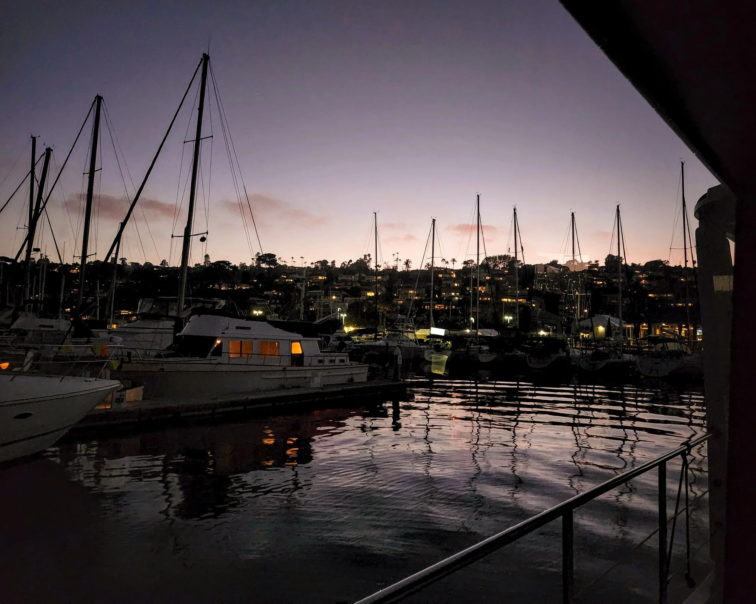
Pretty night views of the hills above the yacht club

Cute club with very friendly members and staff…thank you so much for your hospitality

Dolphin trainers running drills through the marina (Photo by Larry)

Chris and Keith come down to keep Larry company while I am away (Photo by Larry)

La Playa Yacht club…the smallest yacht club I’ve ever seen

Late spring flowers, artichokes gone to bloom

A sweet pathway with beautiful views of the harbor

The Tunaman’s Memorial on the path that runs the length of Shelter Island

The grand Osprey nest

The parents at the nest feeding the 3 or 4 young chicks

The Yokohama (San Diego’s sister city) Friendship Bell presented to San Diego in 1958

A multinational mosaic fountain designed by students from China, Russia, Mexico and the U.S. representing four quadrants of the Pacific Rim

It is the compass rose with a ‘pearl’ in the middle. The park is named ‘Pearl of the Pacific’

Captain's Post #15 - The Baja Bash Prep A.K.A. I'm Glad This is Over With!!!

By Larry McCullough

Has anyone noticed how windy it has been? I must say I am so sick of the wind, probably not the best thing for a boater. But for the last 2 years it seems like the wind has been nonstop. May is not the best of time to bring a boat north from the Cabo San Lucas area up the Pacific Ocean to San Deigo.

We had been waiting in San Jose del Cabo, the southern end of the Baja Peninsula, for several weeks for a “weather window” to turn the corner and head north towards San Diego. Prior to that I had kept a close eye on weather reports and sea conditions for several months and the storms generated in Alaska kept the train of waves coming down the coast to Baja nonstop.

We hang around Cabo San Lucas and play tourist, it was fun and felt pretty special having the boat tied up in the harbor downtown, something I must admit I had dreamed about in the past, “some day I will have a boat out there”. Being in Cabo San Lucas brought a bit more than I had bargained for. I am sure people had caught many worse things in Cabo than COVID, and at least it went away after a relatively short period of time as opposed to other Cabo ailments, so count your blessings, I guess. Well not only did I get COVID just to make things interesting I had, well let’s just call It, an intestinal issue. For days it went on until I tried some antibiotics that were prescribed for us when we left for Central America. Take one pill for three days and hope for the best! It worked, things were starting to look up, and then Jamie gets COVID.

In the meantime, while all this is going on, an old high school friend of mine arrives on the boat to help us out for the Baja Bash. Steve “Gumby” Grant arrived on the day I had my positive COVID test (if you have read prior posts on the Independence Chronicles Log you might remember Gumby was on the boat for the crossing from Key West to Isla Mujeres in January of 2020, he appears to be a gluten for punishment, he has been a huge help on multi day cruises, no worries about leaving him at the helm). I kept my distance and offered to get him a hotel room which he declined and, yep you guessed it he got COVID. Well at least we are all in the same boat, so to speak. No stress here, we are sick, and we must get to the border for insurance purposes.

I had been thinking about this part of our journey for months, maybe even years, probably too much and the stress was building, maybe that is why I got sick. I have a hard time sitting around, so I spent hours planning the trip (see pictures of routes, currents, moon and sun rises, wave heights, etc.). You can try to plan for everything, but Mother Nature is still in charge.

Finally, I spotted a weather window, but it was only for 4 days then the wind and seas would change and there would be 7-foot waves at 9 seconds (big and steep) north near Ensenada. We had to go for it so on Thursday morning May 12th at 5 AM we untied the boat and headed for Ensenada. It took us about 2 hours to get back to Cabo San Lucas to round the corner to what is called Cabo Falso, which is actually the southernmost point, not Los Arcos at Cabo San Lucas. What happens at Cabo Falso is you get a swell coming from the north, generated all the way from Alaska, which then meets a southern swell and you can get some pretty rough seas especially when you throw in some wind waves that come from the Northwest. The waves we encountered were pretty big, maybe 6 to 7 feet but they were spaced far enough apart. We made it through the first hurdle, the seas calmed down as we got farther north and away from the cape influence.

A quick comment about waves. When you see a forecast of waves they might be described as 5 feet every 10 seconds. On Windy.com you can then find additional information, such as Swell 1, 2 and 3 and finally wind waves. This additional information is crucial. Swell 1, with the example above, might be 4 feet from the west, swell 2 might be 3 feet every 12 seconds from the south, swell 3 might be 2 feet every 16 seconds from the south, and wind waves might be 2 feet every 4 seconds from the west. That is a lot of information that tells you that it might be a bit rough out there, why you ask? Well Swell 1 will have 2 feet added onto the 4 feet from the wind waves. On top of that, or should I say in addition, you have swell 2 and 3 coming from the south that can get on top of each other possible creating a 4-foot wave. When you are out there, I can guarantee it, the waves are larger. How can that be you ask? NOA says it best, Wave height is an average, 1/3 of the waves are larger and 1/3 are smaller. Now I don’t know about smaller but they sure are larger.

Windy.com had a forecast that favored staying closer to shore, which we did and had a fairly mild cruise through the evening. I had told Jamie that it was crucial that we take some naps in the day so we could stay awake at night, easier said than done. I could not sleep even as the night came on and on. Jamie was not feeling well, and poor Steve still had some side effects of COVID which seemed to affect his stomach as well. People wanted to sit at the pilot seat at the lower helm and do the watch position so that they could look at the horizon and try to feel better. Ok, I will just lie on the couch close by.

Friday morning came as we passed Magdalena Bay and another point, Cabo San Lazoro. I had read about the points, you always wanted to be there early in the morning before the afternoon winds picked up. It was windy and it was rough, the waves were much larger than forecasted and closer together. We had to slow down the boat but after 3 hours or so it started to settle down and we were able to get the boat back up to 8.75 knots (about 10 Statute Miles per hour). I tried to stay on a schedule so that we would arrive at the points at sunrise or very early in the morning. We kept on a straight course across the bay heading for our next big point which was just north of Turtle Bay and Isla Cedros. As the afternoon approached so did the wind waves, ok I thought, the sun will go down and the wind waves will to. Nope! The wind increased along with the waves and my stress level.

I needed some sleep. The night before I got maybe 2 hours of sleep that was not deep at all, during the day I think I napped a bit but nothing that really helped. Much of the time it was just laying there, but that was resting. Our master berth is located at the perfect spot, just forward of the engines and a tank that started off full with 1,130 gallons of diesel. That made the ride in the master cabin a bit more stable. Also, I must say that the boat was handling it spectacularly, we just had to keep the speed of the boat so it was not getting bashed or dropping off the waves. In the daytime that is somewhat easier, you can see what is coming at you. At night even with a good moon you can’t really get a good feel for the waves…until you drop off the backside of one which happened while Jamie was at the helm, and I was on the couch next to it… BAM! I said to Jamie pull back on the throttles, slow it down.  Now we are doing about 5 to 6 knots which will make for a very long journey to Ensenada.

I had our entire course plotted into the Furuno auto pilot and at that speed we would be out for an extra night, not something I or anybody else wanted to do. Jamie was due for a break and I took the helm and slowly started picking up speed, every tenth of a knot increase in speed felt like a small victory. The seas settled down enough to get the speed up to 9 knots roughly and I started thinking maybe we should try to pull into Turtle Bay and rest. I texted a friend over our Garmin In-Reach satellite device, and he confirmed that the seas on that extra day would be 7 feet and the seas near Isla Cedros would be larger. It wasn’t an option, we had to keep going. Morning came as we passed Turtle Bay (I really do wish we could have gone in there). I checked our forecast on what friends sent and what our Sirius Weather showed on the Furuno screen. I also checked the sheet of paper that I printed out before leaving that had expected currents. The consensus was stay northwest of Isla Cedros and the cape effect that occurs due to the waves, current and wind working their way around the north east corner of the island. This was a good choice because we had calmer seas and a shorter distance. BUT I could not believe the currents we were facing. I had done many engine room checks and our fuel consumption was well within the range I had forecasted. As Saturday night approached, I did an engine room check and saw that we had about 550 gallons of diesel left and we had another 187 miles to go, a huge reserve, let’s keep the speed up. I brought our fuel burn up to 12.9 gallons an hour, but our speed was bouncing all over the place due to the currents, 8.6 to 10 knots. No problem, we had plenty of fuel.

We had an uneventful night except clouds moved in and that beautiful full moon I was expecting was blocked. The crew was doing great, we were able to have a decent meal as opposed to just trying to keep down a PBJ or a Ham sandwich and I got some sleep - deep sleep.

The sun rising was a welcome sight, I felt well enough to even have coffee. Up until then I was going on my third day of no coffee or liquor (I never touch it while operating the boat, not even a beer). The seas were rollie but spaced far apart, a nice cruise, except the currents. On our travels over the last several years we have had some big currents, the East River in New York City we were fighting a tide and a current of 6 to 7 knots, but it wasn’t for long. The rest of the morning until we pulled into Ensenada I had the RPMs up to 1430 and we were only going 9 knots but as we got closer to Ensenada we were going just over 10 (normally at that fuel burn we would be doing about 12 knots. We wanted to load up on fuel and tie up at our slip before they closed the Marina in Ensenada, we made it.

After three days of seeing no other boat and exactly 3.5 days of travel, 662 Nautical Miles (761 Statute Miles) we made it to Ensenada. Steve was great, he spent so much time at the helm all I could do was lay on the couch. Jamie either spent time at the helm or slept. I probably got 8 hours of sleep the entire time but it really is amazing how little you can get away with when need be.

I am so happy the Baja Bash is behind us. There are some great memories, especially tying up the boat in Ensenada, the number of dolphins we saw were incredible. They would come up to the boat and give us an escort at the bow and play in the waves, I never tire of watching them. When we were doing The Great Loop, we had a very stressful time when we left Demopolis Alabama and the rivers were at flood stage with trees floating by. Later I thought “glad we did it, glad it’s over”. With the Baja Bash maybe it’s still too fresh in my mind, all I can think is “glad it’s over”.
Map points (A,B) where we needed our friends to send weather forecasts via Garmin InReach

Additional northern map points where weather forecasts (C,D, E & F) were needed

Thursday, Friday & Saturday mileage estimates with expected weather forecasts with wave size, swell, size direction and wind wave height and periods

Saturday & Sunday mileage estimates with expected weather forecasts with wave size, swell, size direction and wind wave height and periods

Expected currents day one, two and three

Expected currents day three & four

Sun and Moon schedule for rising and setting

Estimated times with magnetic degrees in case of equipment failure

Puerto Escondido to La Paz

Not too much fresh news on the cruising front as we will just be heading back to La Paz and mostly anchoring at the same spots on the way South as we did on the way North. There are many more people/boats in the Sea of Cortez now as April is definitely the high season. The weather is turning warm and running the gamut of light and variable winds, which then become a sustained 13 knots with gusts of up to 20 knots, so you really never know what you are going to get. This makes Larry’s job of picking an anchorage even more challenging with crazy winds coming from all directions and plenty of boats vying for the best wind protection. But, that’s life on the hook and it is very special when you find that perfect, quiet anchorage with the dramatic and majestic baja mountains silhouetted in the sunset, followed by the stars that burn so bright in the pitch black sky above you cascading all the way down to the horizon. Baja is truly magical place.

Our fellow dock mate at Puerto Escondido. The 75 million dollar superyacht Moonstone (nearly 200 feet long) is owned by brothers Rob and Richard Sands who own Constellation Brands (marketer/producer of wine, beer & spirits). They left the marina a day before us. I thought it was amusing that their yacht takes up our entire salon window!

This is Moonstones’ toy hauler called Shadow. I can’t even begin to tell you the variety of toys on this 180 foot yacht…but on the deck alone there were jet skis, a little sailboat, an amphibious motor/tank-tread landing craft, a wake-board boat and all this is trailed by their tender (the boat with the four huge outboard engines).

We spent two nights at this anchorage at Punto Colorado hiding from some nasty winds, not too far from Puerto Escondido.

Independence and a fellow Nordhavn ‘Seacret’ share the bay at Punto Colorado with us. She is a beautiful 76 foot trawler owned by the very nice couple, Hilda & Jeremy.

Larry in front of Seacret and the Independence at Punto Colorado

A mummified Trigger fish…too often found on the beaches. Their teeth are large and pronounced, designed for chomping on coral.

A pretty crab molt

Morning sun on Seacret and Bella Luna (owned by Deanna and Rob) in Punta Colorado anchorage

Coffee and dogs. Deanna takes Rob and Jeremy and the pack to the beach for a morning run.

Semana Santa (Holy week) is a time when families gather together (often at the beach) to play and feast. Agua Verdi was very busy when we anchored there a few days before Easter.

The little palapa cafe with view of Bahia Agua Verdi and the large sailing ship that anchored for the evening

Didn’t catch her name but she was a beauty

Sunset at Aqua Verdi anchorage

Moon set over the cactus at Bahia Agua Verdi

9,000 Nautical Miles! Cruising Northward towards La Paz

Night Watch Award!

Wow, were we surprised when our yacht club (SFYC) awarded us the “Night Watch’ Cruisers of the Year award this past March. We jumped on a plane and came home early to receive the award and give a short talk. Larry and I were completely humbled to have our names placed on this trophy. The original recipients of this award, Suzanne and Gerald Knecht, were the first in the club to circumnavigate the world (completed in 1987). We certainly have not come near to that, but we will have traveled over 10,000 nautical miles by the time we arrive back to the safe harbors of the San Francisco Yacht Club.

Where the trophy lives in the club house at the SFYC, Tiburon, CA