Captain's Post #23 - Port McNeill to Codville Lagoon Anchorage, BC, Canada (103NM) - AKA Open Ocean & Cape Caution
By Larry McCullough
The anticipation of something is half the pleasure, or something like that. With a stressful event, that is in the future, sometimes doing more and more research and planning adds to the stress so that when the event finally happens the stress is relieved even before you start the adventure. Such is the story of our adventure with Cape Caution.
I did the research, planned the route, checked not only the Windy App but also the Canadian weather information and it looked like a great time to embark on the crossing of the Cape. Let’s get this over with, I thought when I woke up Thursday morning.
I immediately turned on the chart plotter when I got up, after the coffee maker of course. Unlike the prior morning, I did not have the computer plugged in and in a sleepy haze not knock over my coffee cup onto the floor when I tripped over the computer power cable, &#*@, poor Jamie, I try cleaning it up but I am replaced by the varsity crew.
The aluminum hull of the boat acts like a submarines sonar system therefore the noise of the other boats in the harbor turning on their engines and bow thrusters as they get under way can be heard. Sounds good to me, we will have company and other people feel that today is a good day for the journey also. They are soon out of the harbor, about seven boats in total, no worries we will be out ahead of them soon enough. We follow them out at 6:15AM.
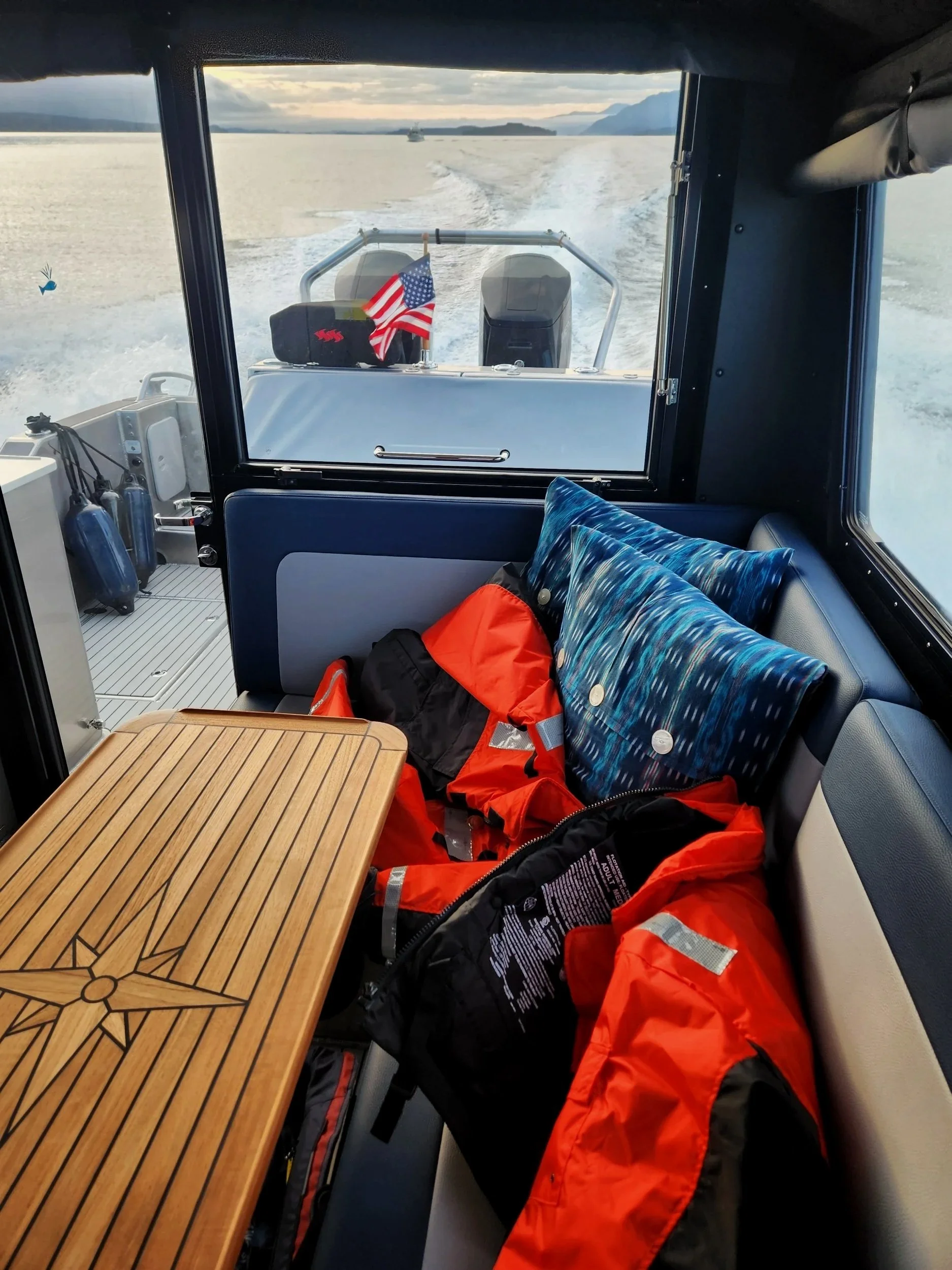
In Broughton Strait by 6:30AM…passing all the boats that left an hour before us. Mustang float coats on the ready…safety first
Approaching Lighthouse Pulteney Point
Deserters Island in the distance
Around the point on Malcolm Island, the heading is pre programmed into our charts for the fastest time to Cape Caution with the conditions looking so favorable. Three of the boats that left before us are headed for Goletas Channel, not sure why they are going that way which is more straight west as opposed to us going more north west, it will not only make their crossing longer but it will also put the seas to their beam longer (that means taking the waves more at the side of the boat then off the front of the boat). Am I doing something wrong, did I misread something? No I didn’t think so, just get me around the corner and lets get this over with.
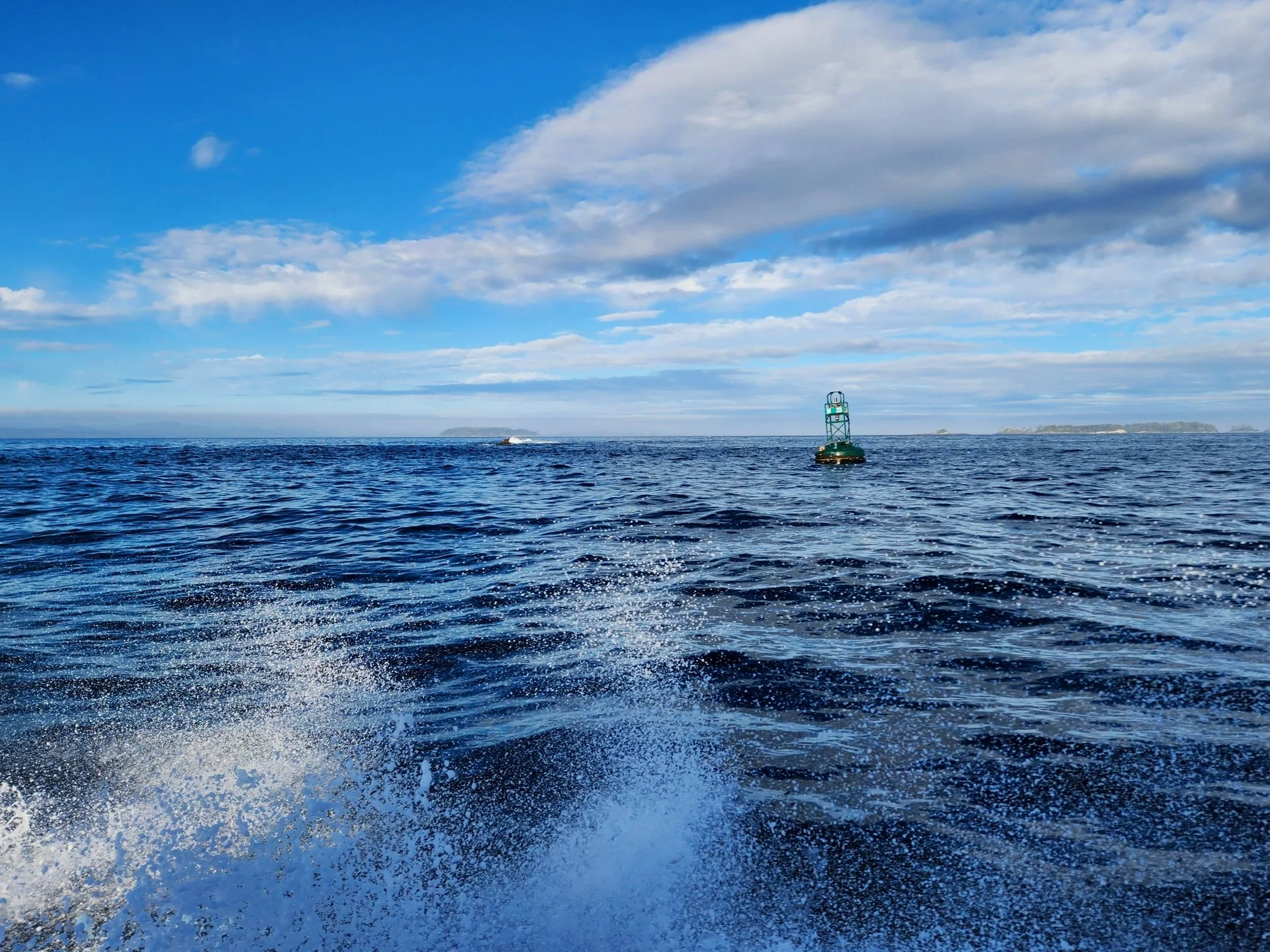
We pass between Deserters Island, which provides us some protection at 7:08AM, time to take a break and dispose of the prior consumed coffee, up pops a whale just of the bow! So glad we were going slow.
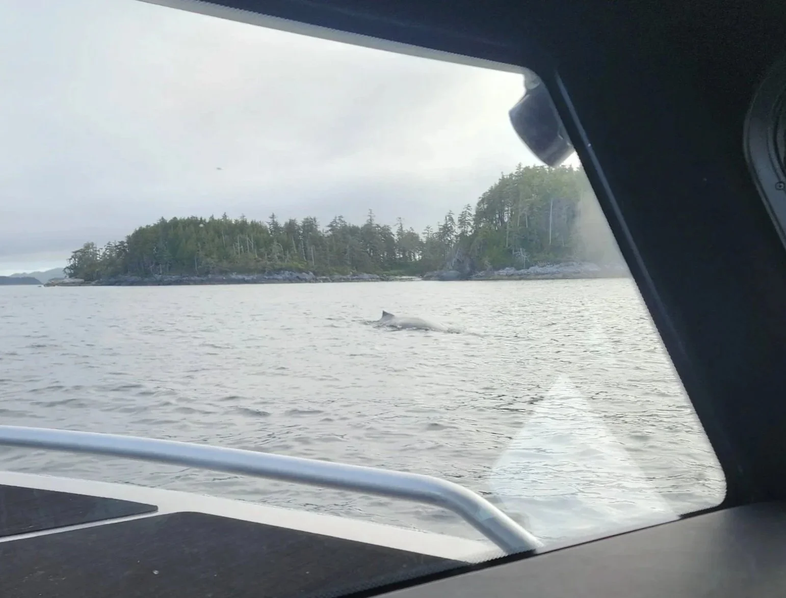
So very lucky to have seen this Humpback Whale as we passed Deserters Island
I used the autopilot to steer the course and I was the throttle man, adjusting the speed to the varying wavelengths and heights. It worked out well. Soon we turned north taking the inside route, now Cape Caution was coming up on our starboard side (right side), it was only 8:20AM. It suddenly was a bit rougher as the outgoing tide mixed with the ocean swell of 4 feet every 8 seconds, pulling back on the throttles made the ride comfortable. I mentioned to Jamie, this will be short lived because of the mixing. We soon made it around the Cape, and away from the currents mixing and I felt relief, it was not quite time to get the blender out to do some other form of mixing. The route I chose, via the Garmin Chart Plotter suggested routes, took us through a channel that brought us close to the rocks on the Cape along with more rocks and small islands off to our port side. No time to relax, but the seas calmed down and after a few more miles the boat was up “on plane” at a speed of 35 MPH, the sweet spot where we get the best MPH.
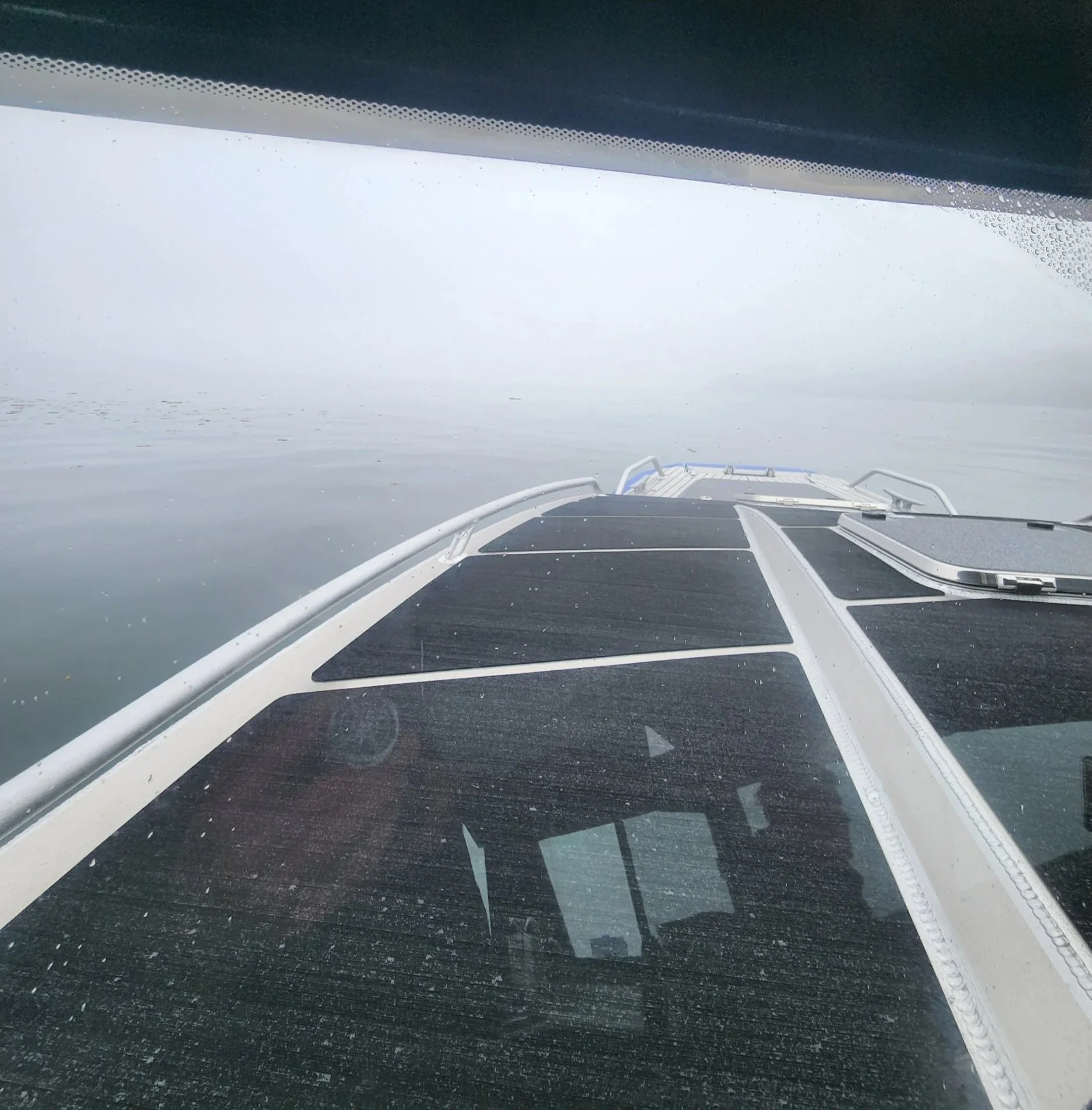
What an amazing day…on approach to Cape Caution
Cape Caution ahead
A perfect day to make the open ocean crossing and round Cape Caution
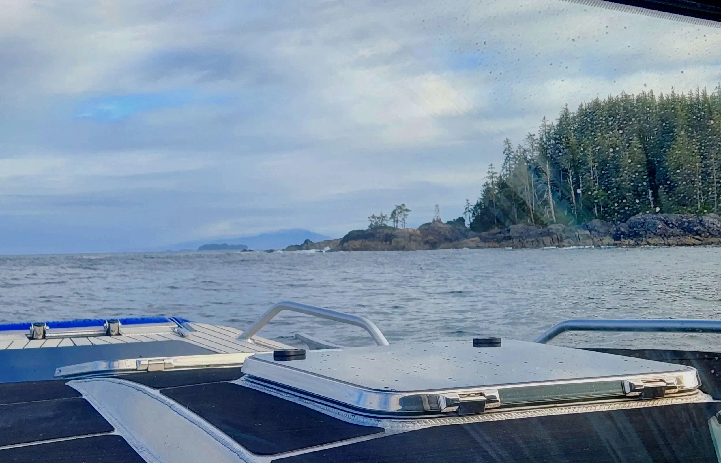
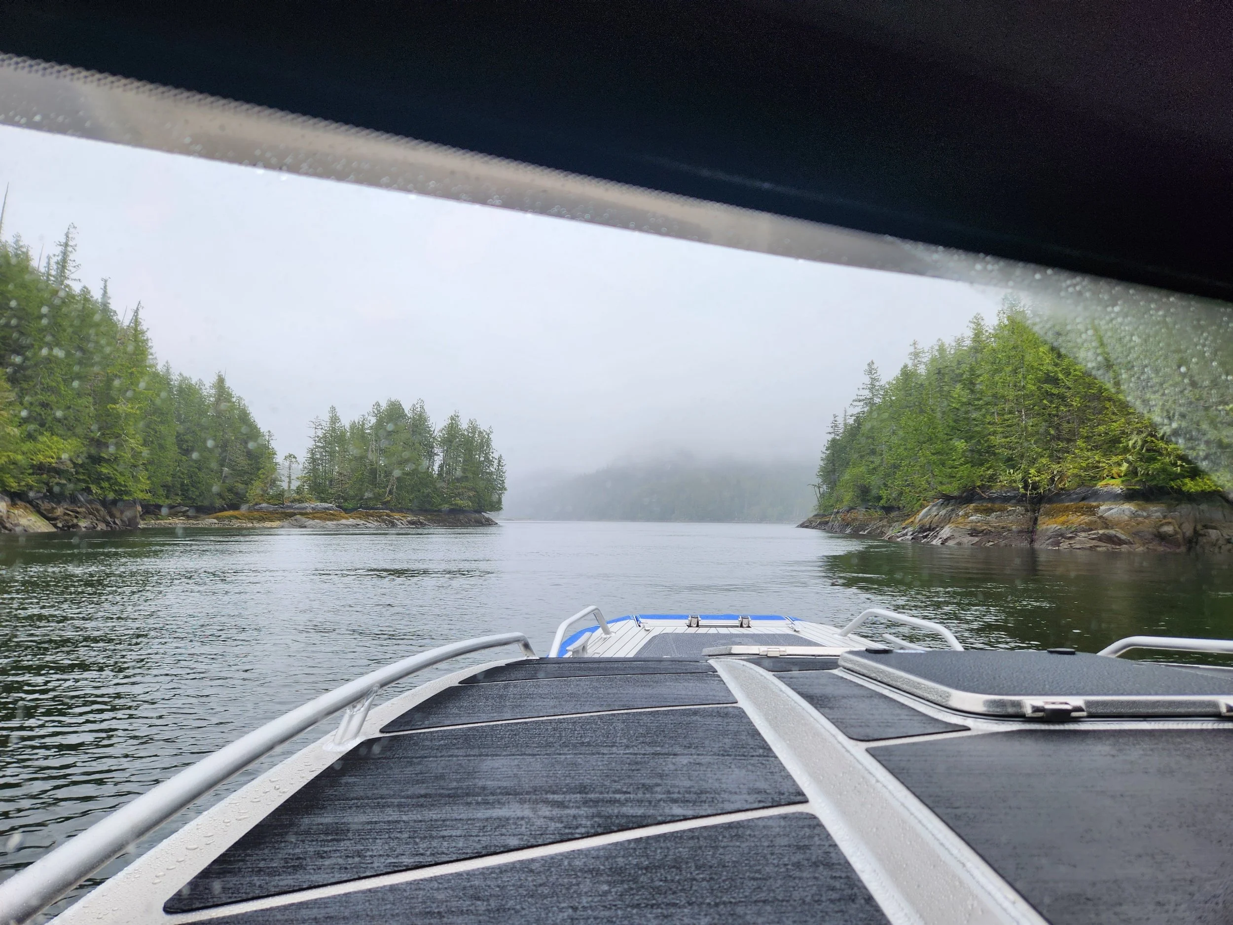
Another 15 miles and we entered Fitz Hugh Sound with Calvert Island providing protection from the ocean swells. Occasionally, we would have to slow down because of debris in the water, sometimes looking like a bomb went off, Jamie’s description. Fitz Hugh Sound is very wide, 3 miles in some spots and deep, 500 - 1,000 feet deep in places. Small and large logs all over the place. In one spot it, in over 500 feet of water mid channel, there appeared to be a small log up ahead. I turn to port and as we approach the “log”, it turns out it is an otter cracking shells on his belly! What is he/she/they/them or whatever pronoun it prefers doing out there so far from shore in such deep water!
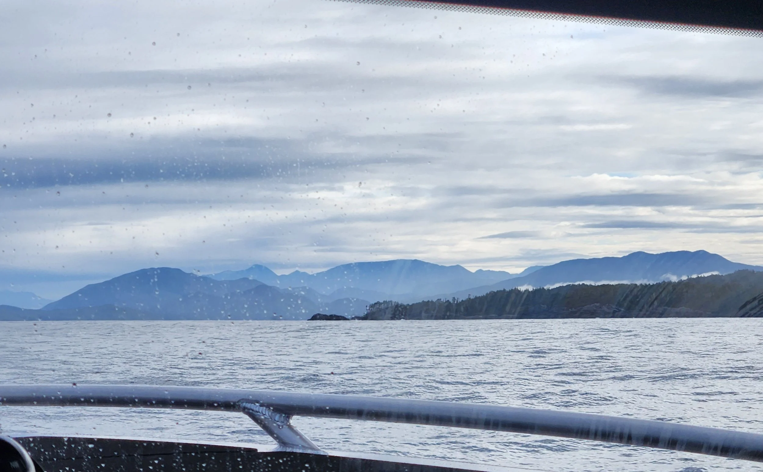
The mountains in shadow behind Castor Cove
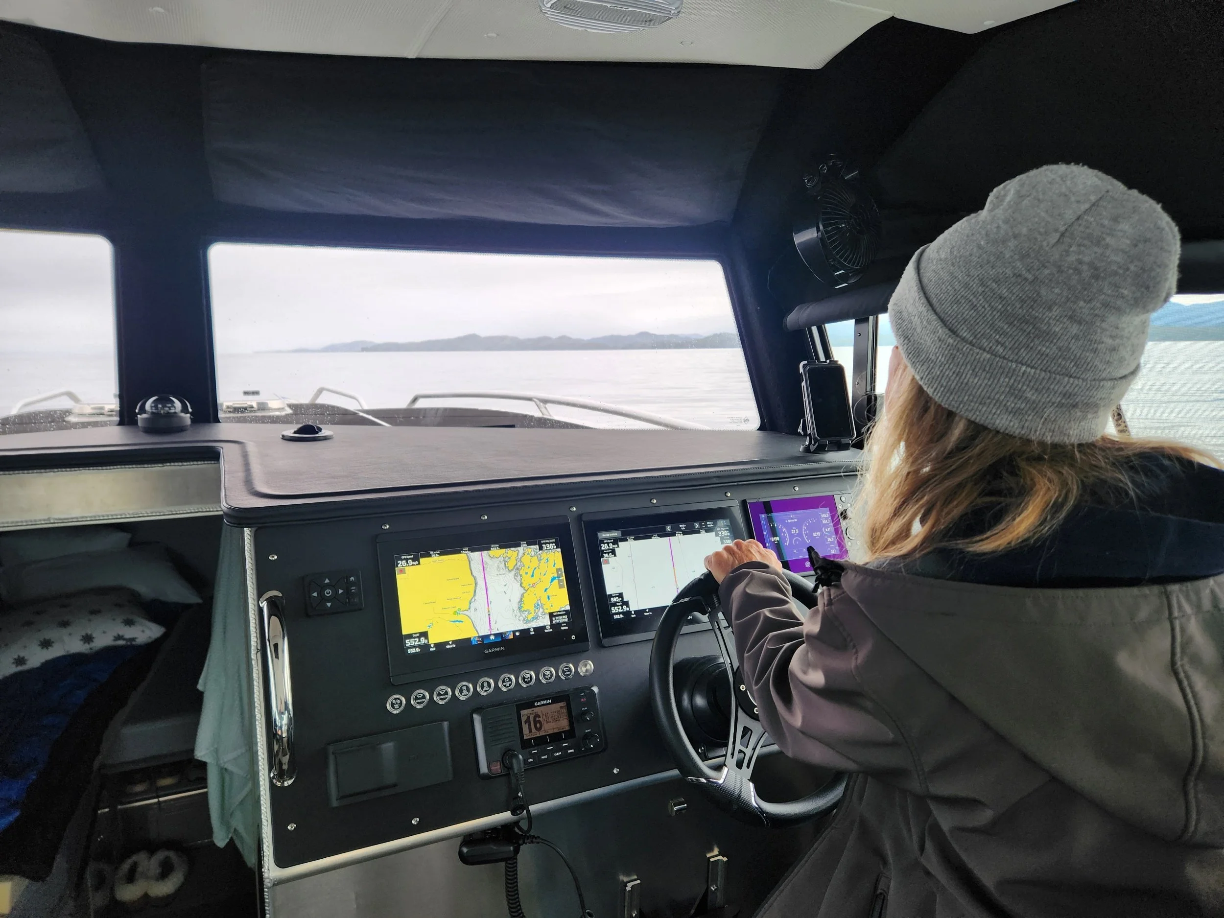
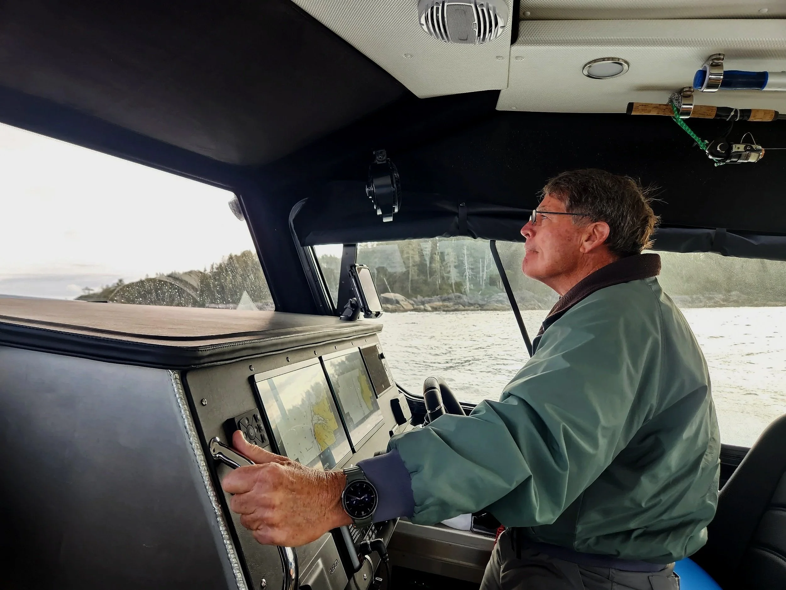
Jamie gets time at the helm as we roll by Calvert Island
We were making great time and enjoying the beauty of this remarkable coast. Then the rain started with fog, visibility dropped down to maybe a ¼ mile which is about impossible to tell distances in such conditions. But, no worries, I had turned the radar on prior and it was already to go with no warm up time. I see a big blip on the radar screen with an accompanying AIS (Automatic Identification System) symbol next to the blip. I inform Jamie that my eyes will be looking at the screen, as opposed to out the windshield so that she is even more diligent than usual, and I click on the symbol and learn that it is a cruise ship that some of my Mountain Biking buddies were on with their wives a few weeks ago.
A very dense fog descends near Nalau Island. Time to activate radar.
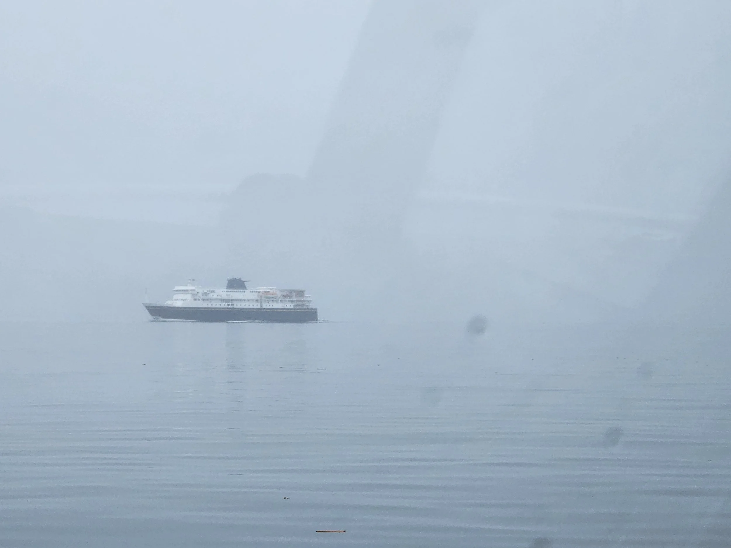
The MV Kennicott is visible on the radar way before we can see the 382-foot-long ship
Past the cruise ship, more exploded bombs in the water. I make the decision that we would go further up the sound to an anchorage and take advantage of the calm water, also it wasn’t even 9:00AM yet! More fog, rain, and debris in the water as we pulled into Codville Lagoon at 11:05AM, in time for lunch. We left at 6:15AM, the engines hours were 5:47 traveled 103NM. Damn, to early for a celebratory cocktail!
After 103NM and approximately 4.5 hours we arrive at Codville Lagoon to anchor for the night.
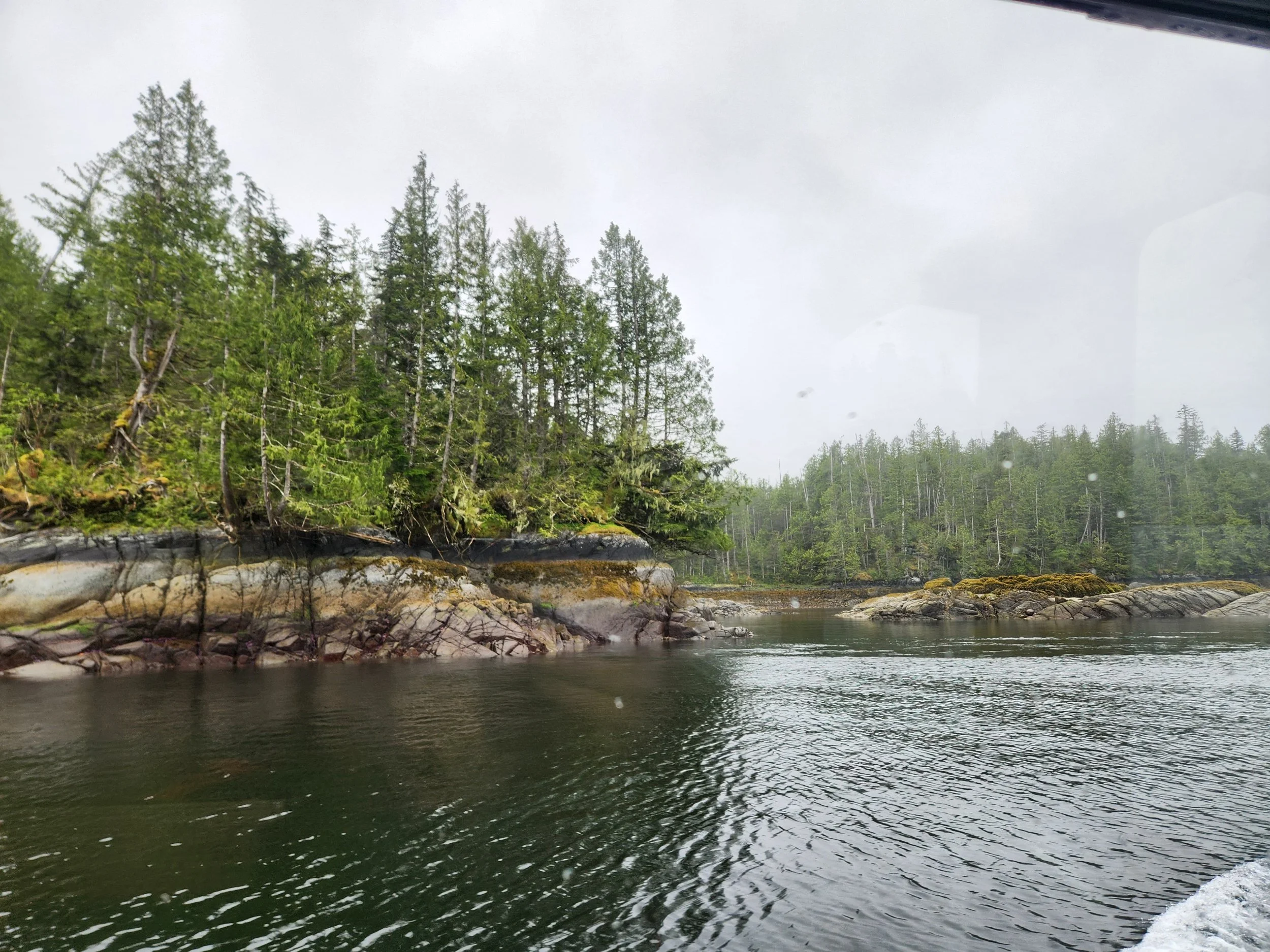
Amazing rock sedimentation that retains enough soil to grow these tall trees. The lagoon is perfect for anchoring - not deep with some sandy bottoms, beautiful and quiet.
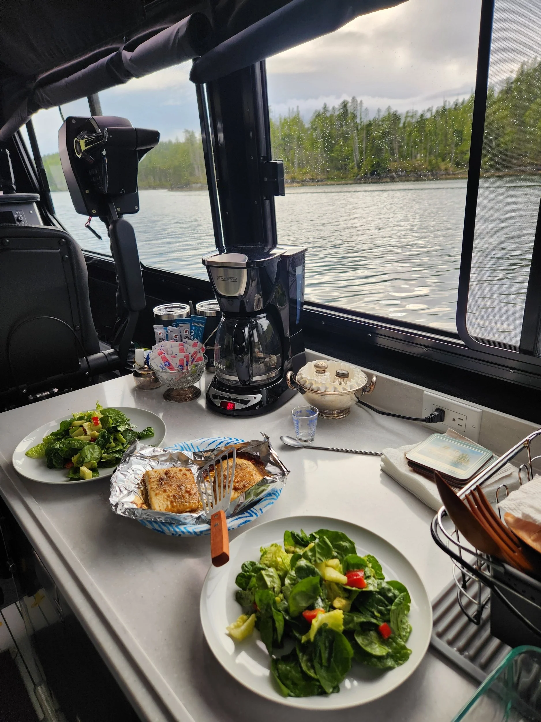
Halibut off the grill with a spinach salad. Our first meal enjoyed at anchor on Independence II.